Collingswood is a borough in Camden County, in the U.S. state of New Jersey, located 5 miles (8.0 km) east of Center City Philadelphia. As of the 2020 United States census, the borough’s population was 14,186, an increase of 260 (+1.9%) from the 2010 census count of 13,926, which in turn reflected a decline of 400 (−2.8%) from the 14,326 counted in the 2000 census.
Owing in part to its Quaker history, Collingswood was founded as a dry town where alcohol cannot be sold, however restaurant patrons are permitted to bring their own wine and beer to consume. In July 2015, the town introduced an ordinance that allows craft breweries to operate in the town but not serve food. The ordinance passed in August 2015.
Collingswood is well known for its selection of shops and restaurants primarily along Haddon Avenue and was ranked as the “#1 small-town food scene in America” by USA Today in May 2018.
| Name: | Collingswood borough |
|---|---|
| LSAD Code: | 21 |
| LSAD Description: | borough (suffix) |
| State: | New Jersey |
| County: | Camden County |
| Incorporated: | May 22, 1888 |
| Elevation: | 20 ft (6 m) |
| Total Area: | 1.94 sq mi (5.01 km²) |
| Land Area: | 1.83 sq mi (4.74 km²) |
| Water Area: | 0.10 sq mi (0.27 km²) 5.90% |
| Total Population: | 14,186 |
| Population Density: | 7,751.9/sq mi (2,993.0/km²) |
| ZIP code: | 08107–08108 |
| Area code: | 856 |
| FIPS code: | 3414260 |
| GNISfeature ID: | 885191 |
| Website: | www.collingswood.com |
Online Interactive Map
Click on ![]() to view map in "full screen" mode.
to view map in "full screen" mode.
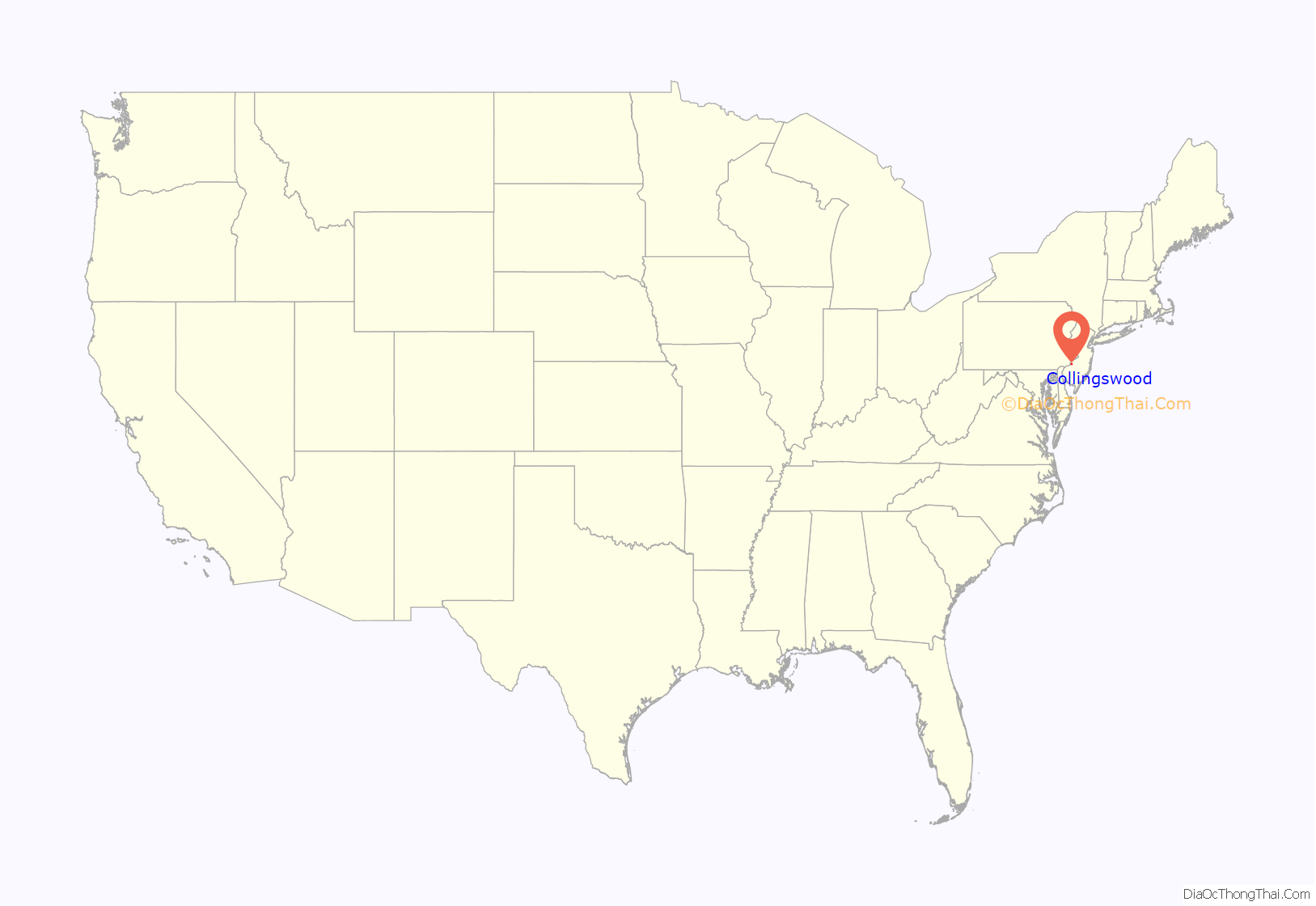
Collingswood location map. Where is Collingswood borough?

History
The land in what is present day Collingswood was originally inhabited by Lenni Lenape Native Americans. Quakers from England and Ireland settled along Newton Creek and Cooper River in the late 17th century, establishing what was known as the Newton Colony and eventually Newton Township. Much of what is now Collingswood was a farm owned by members of the Collings family during the 18th and 19th centuries. Later a section of Haddon Township, Collingswood was incorporated as a borough by an act of the New Jersey Legislature on May 22, 1888, based on the results of a referendum held that same day. That same year, town resident Edward Collings Knight, a wealthy sugar, real estate and railroad magnate, donated the land that became Knight Park. Knight was a descendant of the Collings family for whom the borough is named.
Collingswood has several historic homes including the 1820s-era house of the Collings family, known as the Collings-Knight homestead, which stands at the corner of Browning Road and Collings Avenue, shadowed by the Parkview at Collingswood apartment homes. The Stokes-Lees mansion located in the 600 block of Lees Avenue dates back to 1707, making it one of the oldest houses in Camden County. Sections of Harleigh Cemetery, the location of poet Walt Whitman’s tomb, are in Collingswood,.
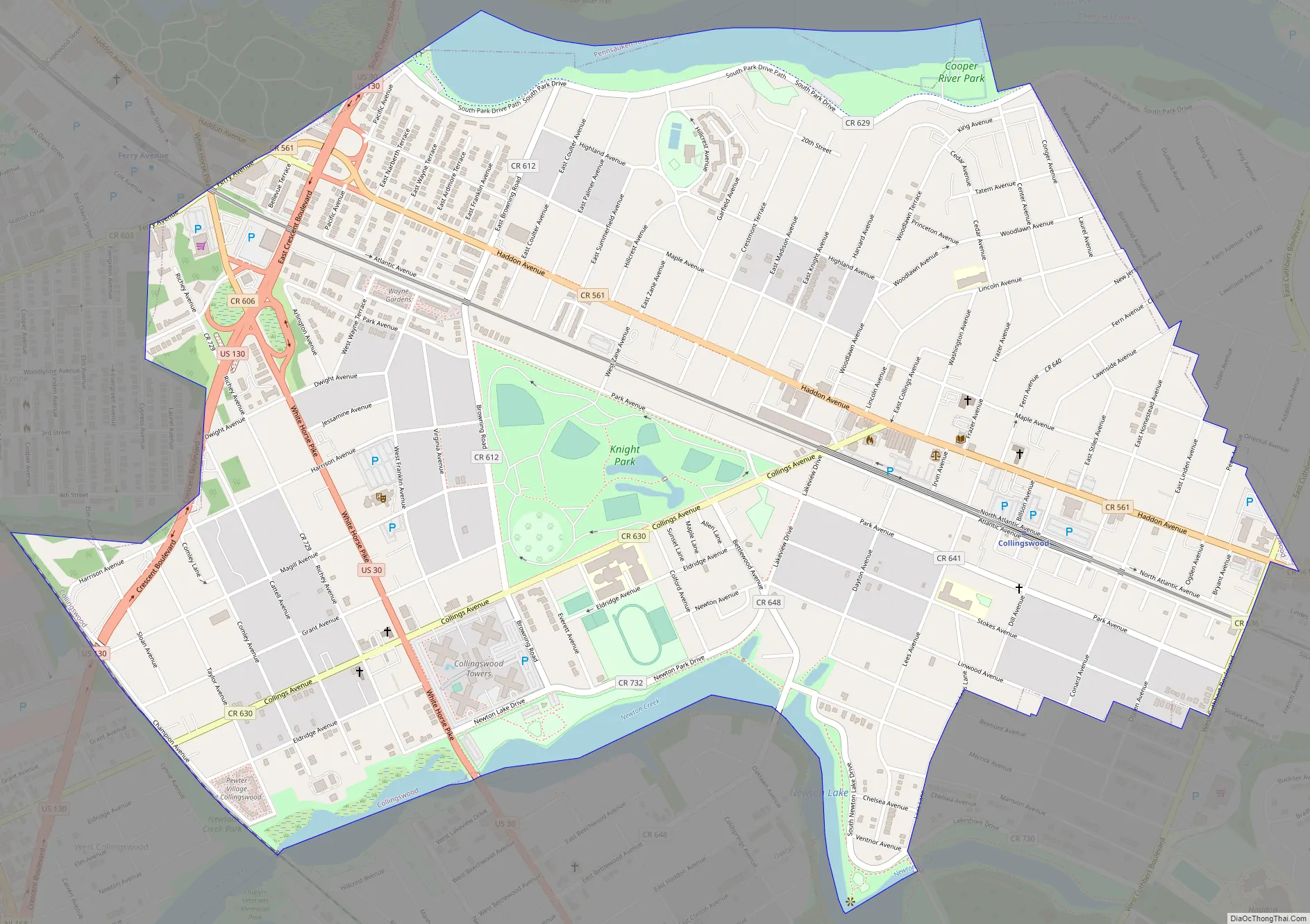
Collingswood Road Map
Collingswood city Satellite Map
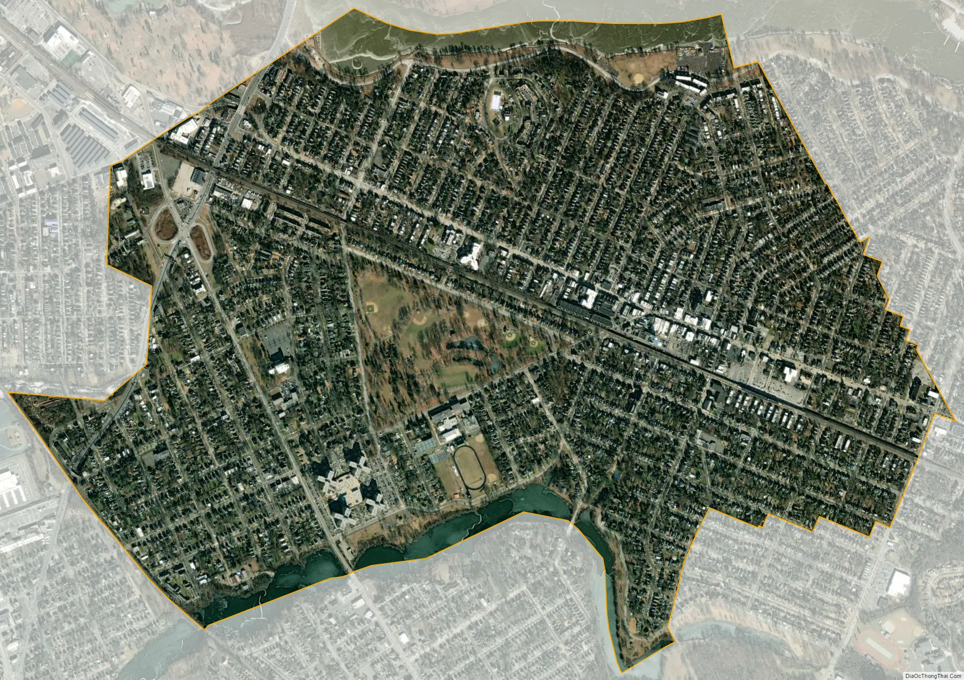
Geography
Collingswood is located in the Delaware Valley, 5 miles (8.0 km) east of Philadelphia and 35 miles (56 km) southwest of Trenton, New Jersey’s capital.
According to the United States Census Bureau, the borough had a total area of 1.95 square miles (5.04 km), including 1.83 square miles (4.74 km) of land and 0.12 square miles (0.30 km) of water (5.90%).
Unincorporated communities, localities and place names located partially or completely within the borough include Knight Park.
Collingswood shares land borders with Camden, Cherry Hill, Haddon Township, Oaklyn, Pennsauken Township and Woodlynne.
The Cooper River serves as the northern border of Collingswood and Newton Creek as the southern border.
See also
Map of New Jersey State and its subdivision: Map of other states:- Alabama
- Alaska
- Arizona
- Arkansas
- California
- Colorado
- Connecticut
- Delaware
- District of Columbia
- Florida
- Georgia
- Hawaii
- Idaho
- Illinois
- Indiana
- Iowa
- Kansas
- Kentucky
- Louisiana
- Maine
- Maryland
- Massachusetts
- Michigan
- Minnesota
- Mississippi
- Missouri
- Montana
- Nebraska
- Nevada
- New Hampshire
- New Jersey
- New Mexico
- New York
- North Carolina
- North Dakota
- Ohio
- Oklahoma
- Oregon
- Pennsylvania
- Rhode Island
- South Carolina
- South Dakota
- Tennessee
- Texas
- Utah
- Vermont
- Virginia
- Washington
- West Virginia
- Wisconsin
- Wyoming


