Closter (/ˈkloʊstər/) is a borough in Bergen County, in the U.S. state of New Jersey. As of the 2020 United States census, the borough’s population was 8,594, an increase of 221 (+2.6%) from the 2010 census count of 8,373, which in turn reflected a decline of 10 (−0.1%) from the 8,383 counted in the 2000 census.
| Name: | Closter borough |
|---|---|
| LSAD Code: | 21 |
| LSAD Description: | borough (suffix) |
| State: | New Jersey |
| County: | Bergen County |
| Incorporated: | January 1, 1904 |
| Elevation: | 39 ft (12 m) |
| Total Area: | 3.30 sq mi (8.55 km²) |
| Land Area: | 3.16 sq mi (8.18 km²) |
| Water Area: | 0.14 sq mi (0.37 km²) 4.30% |
| Total Population: | 8,594 |
| Population Density: | 2,719.6/sq mi (1,050.0/km²) |
| ZIP code: | 07624 |
| Area code: | 201 exchanges: 750, 767, 768, 784 |
| FIPS code: | 3413810 |
| GNISfeature ID: | 0885190 |
| Website: | www.closterboro.com |
Online Interactive Map
Click on ![]() to view map in "full screen" mode.
to view map in "full screen" mode.
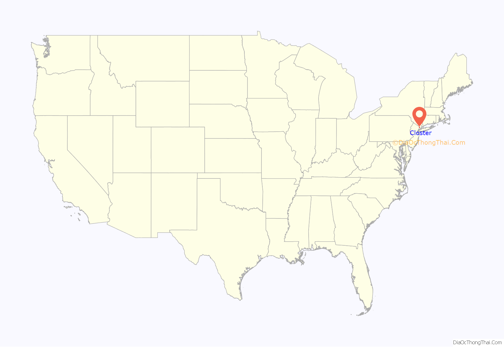
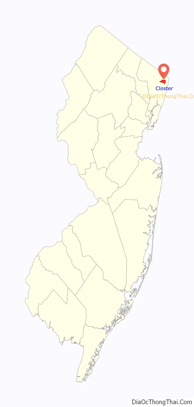
Closter location map. Where is Closter borough?
History
The Lenape Native Americans tilled the soil, hunted in the woods, and fished in the rivers and streams before the Dutch arrived in the early 18th Century. The Dutch settlers, though, left an indelible mark on the area. Early records show that after the English takeover of New Netherland, English Governor Philip Carteret in 1669 granted a real estate speculator named Balthaser De Hart a strip of property which extended east and west from the Hudson River to the Tiena Kill, and north and south from today’s Cresskill into Palisades, New York. It is within these geographical boundaries that lies what is now known as Closter. The first land grant deed for the area today known as Closter was not written until April 13, 1671. The northern half of this tract of land consisting of 1,030 acres (420 ha) (extending from what is Closter Dock Road northward) was purchased by Barent and Resolvert Nagel on April 25, 1710, who along with the Vervalen family first settled what is now Closter.
The name Closter is of Dutch origin and first appears in a November 18, 1721 deed between the surviving Tappan Patentees and Peter Haring (who owned land in Harrington Park/Norwood east of Tappan Road and between Harrington and Blanche Avenues)—the meets and bounds of the deed begin “Beginning at the bridge which comes out of the Clooster by the Dwars Kill…” (At that time, Closter was considered part of New York State). In the Dutch language, Klooster or “clooster” means “a quiet place, a monastery or cloister.” The name was originally pronounced with an “ow” sound, phonetically, “Klowster.” Later, just before the American Revolution, these isolated settlers began to feel the impact of the British Crown in their lives—not only in governmental affairs but also by the influx of English culture on their own language and practices. As a result the “K” in Klooster was dropped and was replaced with a “C” so the now growing village became known as Clooster. By 1795, with the emerging new American culture, the second “o” in Clooster was dropped, and the American English “long o” sound was adopted which led to today’s pronunciation of Closter.
The topography gave a sense of isolation and protection, tucked behind the highest point of the Palisades and protected by limited access. Alternatively, sources indicate that the name derives from an early settler named Frederick Closter who is said to have been granted the land in the area in the 1600s.
Reminders of Closter’s early Dutch history abound – with local streets named after some of the early families (Bogert, Demarest, Durie, Naugle, Parsells, Vervalen, Auryansen, Haring, and Westervelt), and a rich collection of unique Jersey Dutch houses.
The arrival of the Northern Branch in 1859, followed by additional train service from what became the West Shore Railroad, brought residents to the community who could commute to Manhattan via the ferry across the Hudson River at the railroad’s Weehawken depot. Closter’s central location earned it the nickname “Hub of the Northern Valley”.
Closter was formed as an incorporated municipality by an act of the New Jersey Legislature on January 1, 1904, from portions of Harrington Township. On March 29, 1904, Harrington Park was created from portions of Closter, Harrington Township and Washington Township.
After the turn of the 20th century, Closter changed from being sprawling estates and farms into an upper middle class suburban town.
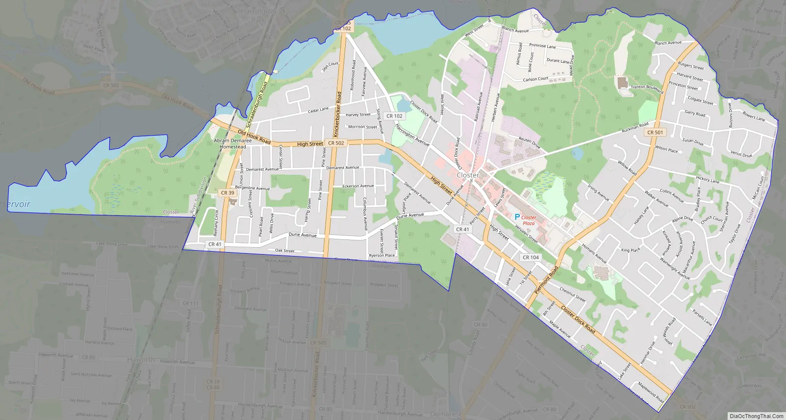
Closter Road Map
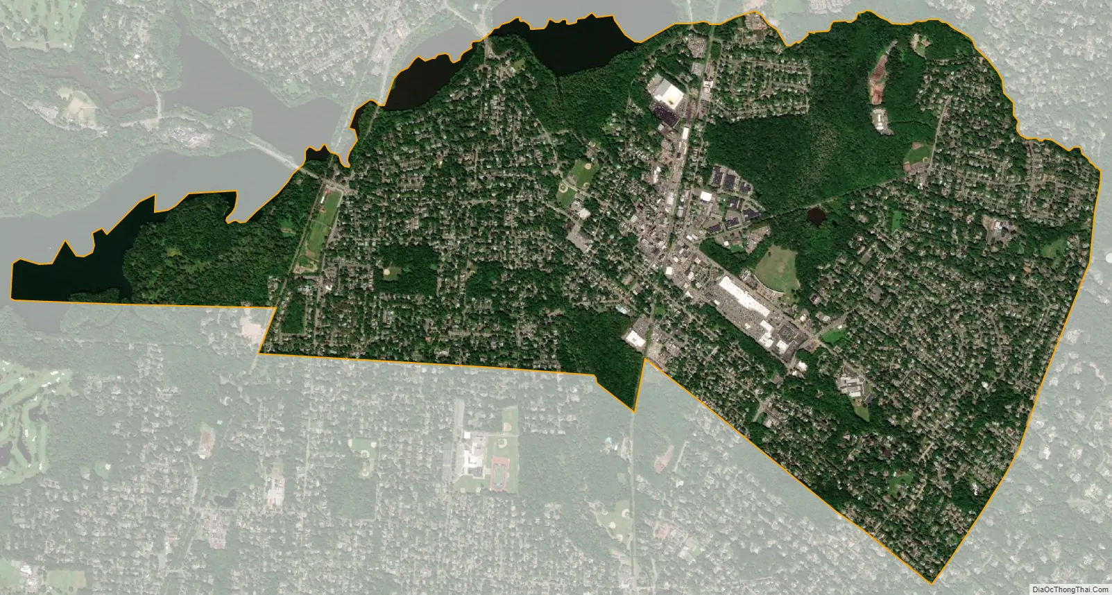
Closter city Satellite Map
Geography
According to the United States Census Bureau, the borough had a total area of 3.30 square miles (8.55 km), including 3.16 square miles (8.18 km) of land and 0.14 square miles (0.37 km) of water (4.30%).
Closter has a humid subtropical climate similar to the rest of the Middle Atlantic region of the United States.
Closter borders the Bergen County municipalities of Alpine, Demarest, Emerson, Harrington Park, Haworth and Norwood.
See also
Map of New Jersey State and its subdivision: Map of other states:- Alabama
- Alaska
- Arizona
- Arkansas
- California
- Colorado
- Connecticut
- Delaware
- District of Columbia
- Florida
- Georgia
- Hawaii
- Idaho
- Illinois
- Indiana
- Iowa
- Kansas
- Kentucky
- Louisiana
- Maine
- Maryland
- Massachusetts
- Michigan
- Minnesota
- Mississippi
- Missouri
- Montana
- Nebraska
- Nevada
- New Hampshire
- New Jersey
- New Mexico
- New York
- North Carolina
- North Dakota
- Ohio
- Oklahoma
- Oregon
- Pennsylvania
- Rhode Island
- South Carolina
- South Dakota
- Tennessee
- Texas
- Utah
- Vermont
- Virginia
- Washington
- West Virginia
- Wisconsin
- Wyoming


