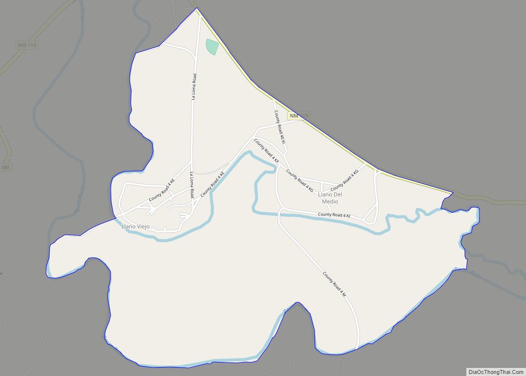
Llano del Medio is an unincorporated community and census-designated place in Guadalupe County, New Mexico, United States. Its population was 118 as of the 2010 census, of which 111 people were Hispanic in origin. New Mexico State Road 119 passes through the community. Llano del Medio CDP overview: Name: Llano del Medio CDP LSAD Code: ... Read more
New Mexico Cities and Places
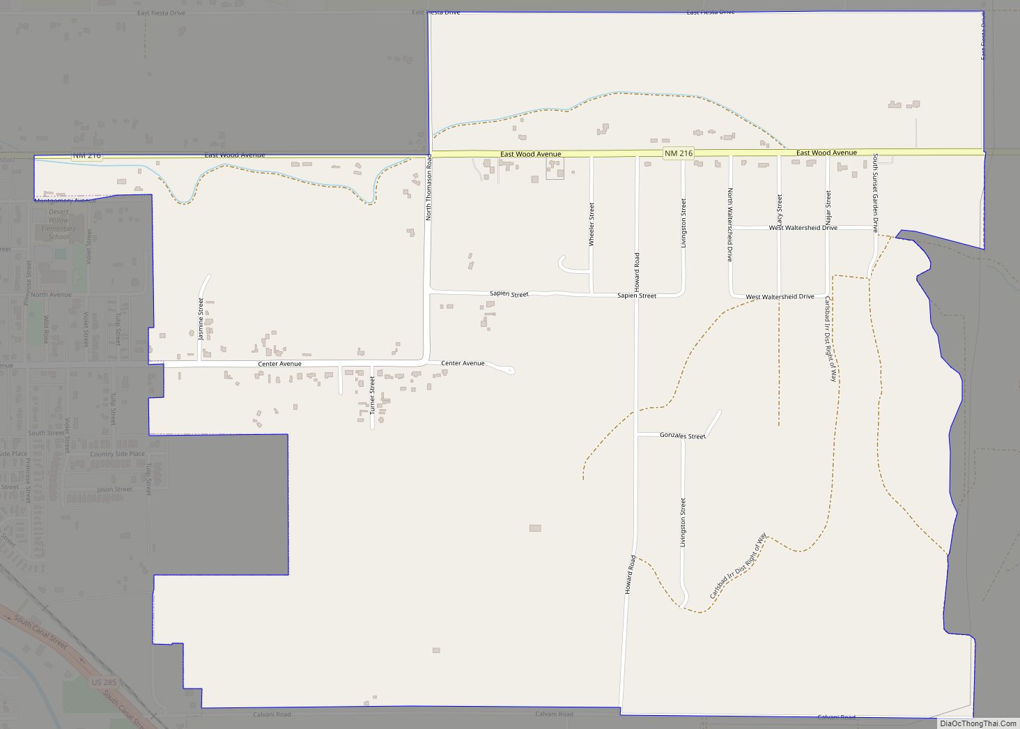
Livingston Wheeler is an unincorporated community and census-designated place in Eddy County, New Mexico, United States. Its population was 609 as of the 2010 census. The community is located on the southeastern edge of Carlsbad along New Mexico State Road 216. Livingston Wheeler CDP overview: Name: Livingston Wheeler CDP LSAD Code: 57 LSAD Description: CDP ... Read more
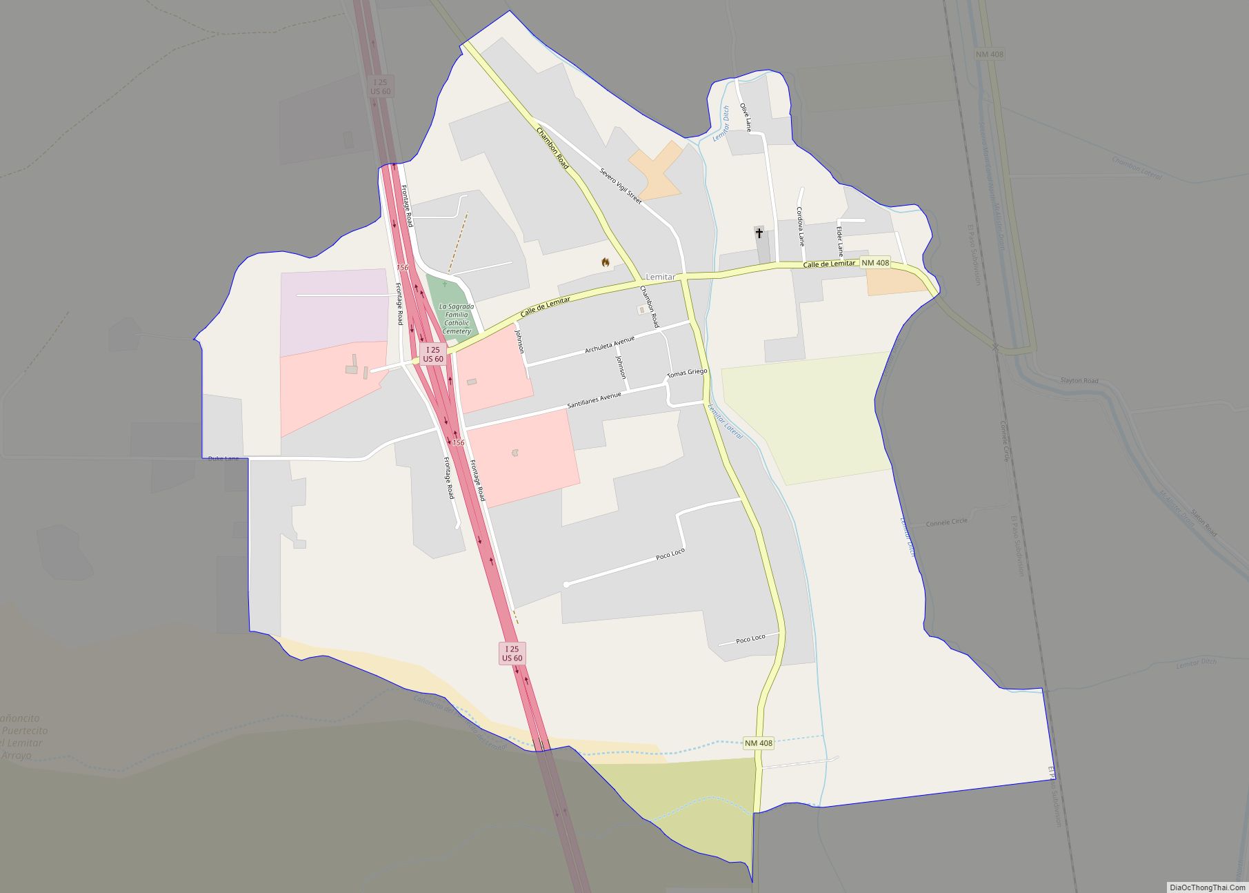
Lemitar is a census-designated place in Socorro County, New Mexico, United States. Its population was 330 as of the 2010 census. Lemitar has a post office with ZIP code 87823. Exit 156 on Interstate 25 serves the community. Lemitar CDP overview: Name: Lemitar CDP LSAD Code: 57 LSAD Description: CDP (suffix) State: New Mexico County: ... Read more
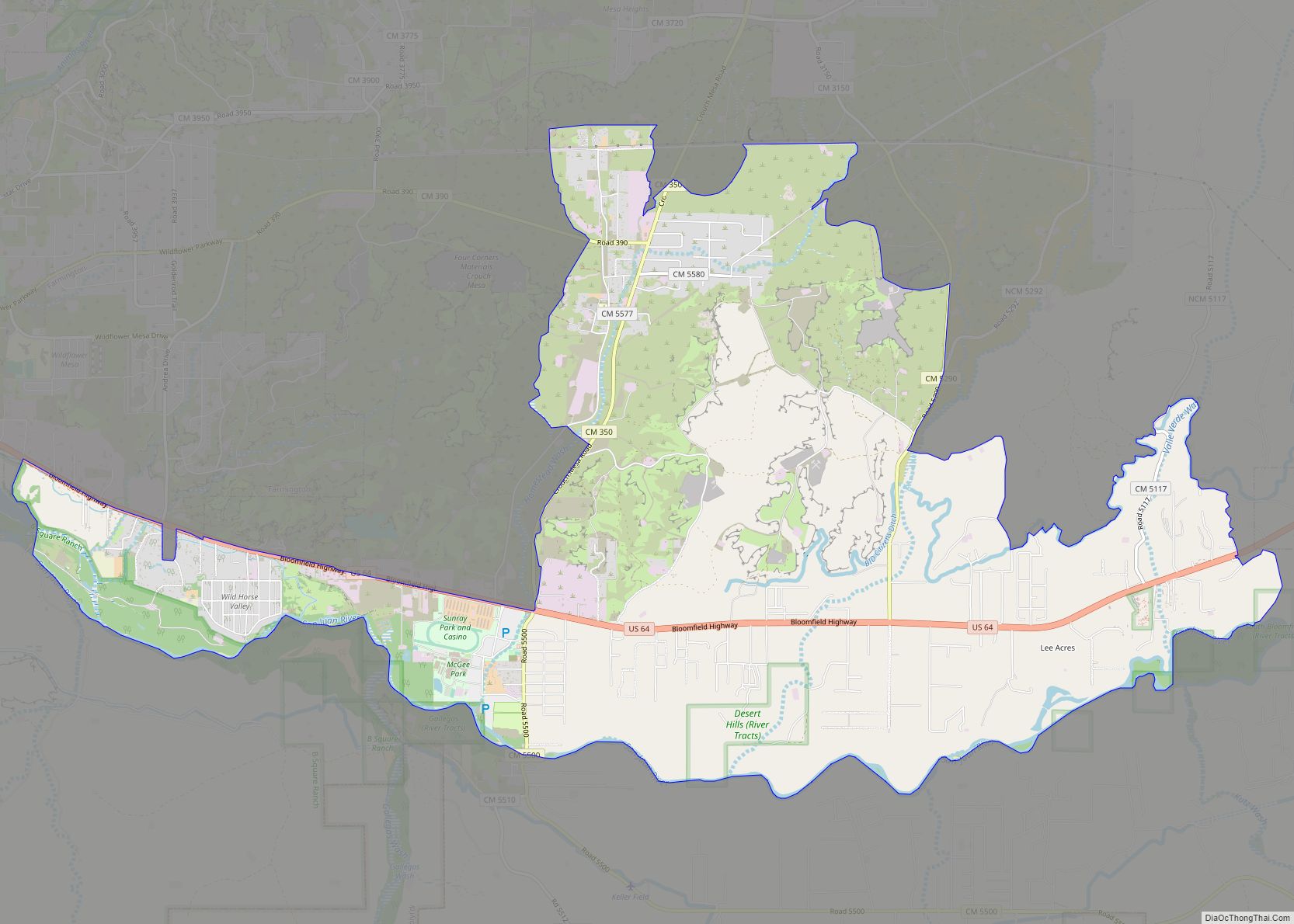
Lee Acres is a census-designated place in San Juan County, New Mexico, United States. Its population was 5,858 as of the 2010 census. It is located on U.S. Route 64 between Farmington and Bloomfield. Lee Acres CDP overview: Name: Lee Acres CDP LSAD Code: 57 LSAD Description: CDP (suffix) State: New Mexico County: San Juan ... Read more
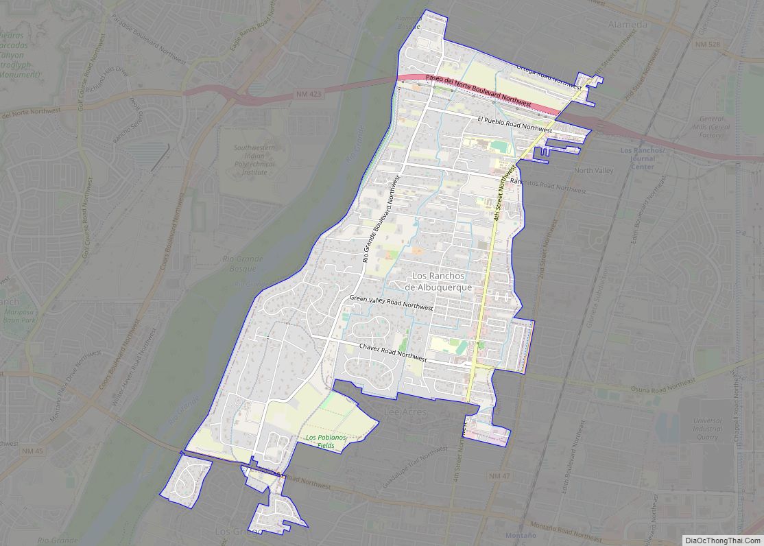
Los Ranchos de Albuquerque, known locally simply as “Los Ranchos” or “The Village,” is a village in Bernalillo County, New Mexico. The population was 6,024 at the time of the 2010 Census. Los Ranchos de Albuquerque village overview: Name: Los Ranchos de Albuquerque village LSAD Code: 47 LSAD Description: village (suffix) State: New Mexico County: ... Read more
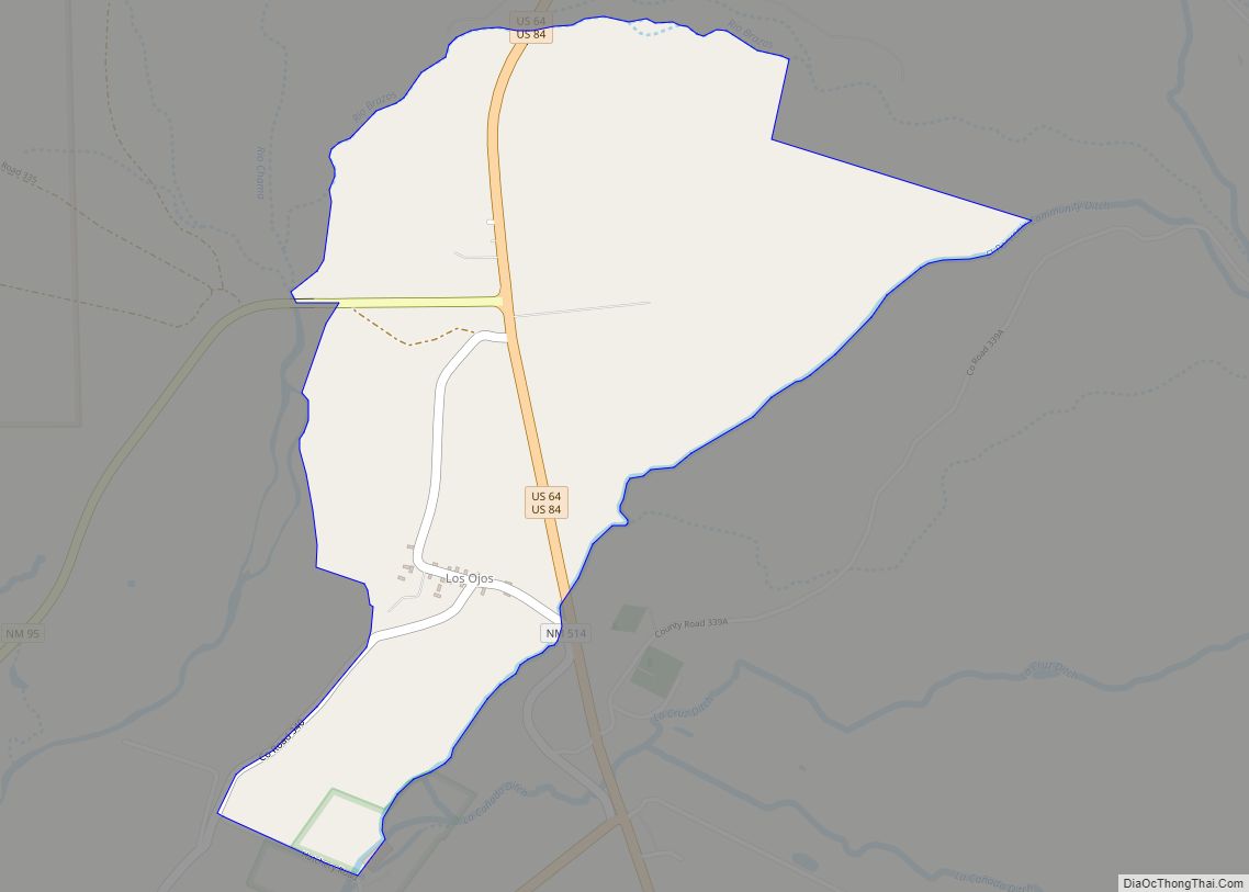
Los Ojos is a census-designated place (CDP) in Rio Arriba County, New Mexico, United States. Its population was 125 as of the 2010 census. Los Ojos has a post office with ZIP code 87551, which opened on February 7, 1877. The community is located near U.S. routes 64 and 84. Los Ojos CDP overview: Name: ... Read more
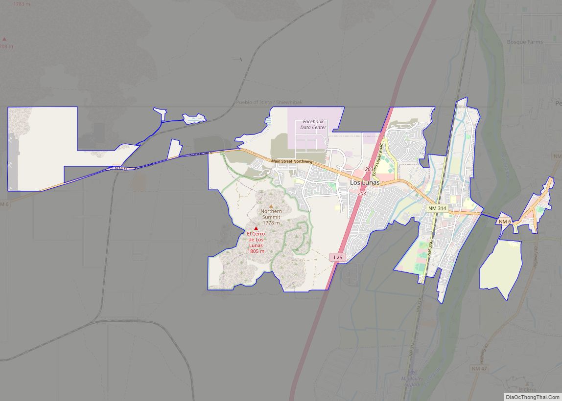
Los Lunas is a village in Valencia County, New Mexico, United States. As of the 2010 census, the village population is 14,835 inside the village limits due to the new housing developments at El Cerro de Los Lunas (Huning Ranch). It is the county seat of Valencia County. Los Lunas is part of the Albuquerque ... Read more
Los Luceros is an unincorporated community and census-designated place in Rio Arriba County, New Mexico, United States. Its population was 906 as of the 2010 census. It includes or is close to Los Luceros Hacienda, a historic plantation with chapel that is listed on the National Register of Historic Places. Los Luceros CDP overview: Name: ... Read more
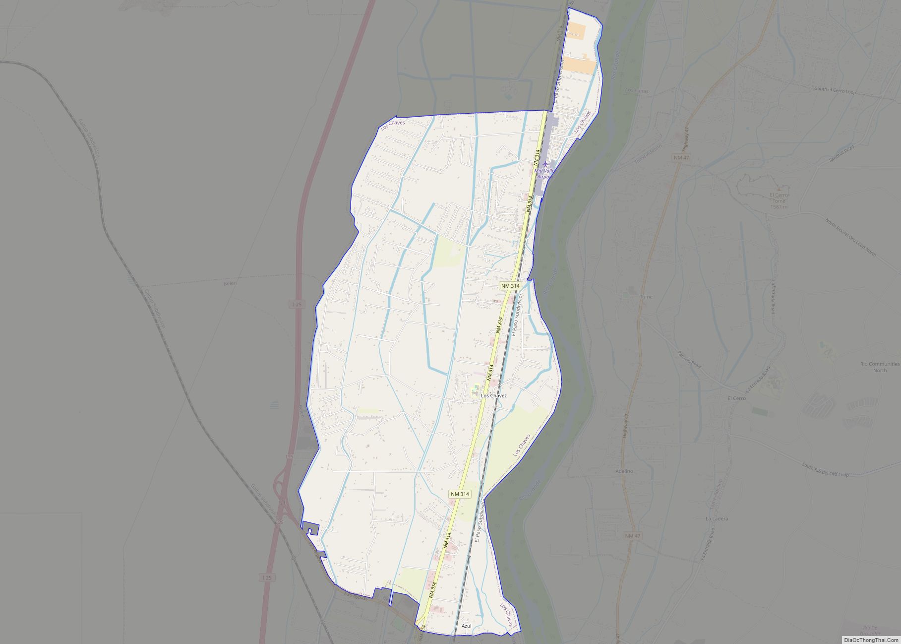
Los Chavez is a census-designated place (CDP) in Valencia County, New Mexico. The population was 5,033 at the time of the 2000 census. It is part of the Albuquerque Metropolitan Statistical Area. Los Chaves CDP overview: Name: Los Chaves CDP LSAD Code: 57 LSAD Description: CDP (suffix) State: New Mexico County: Valencia County Elevation: 4,823 ft ... Read more
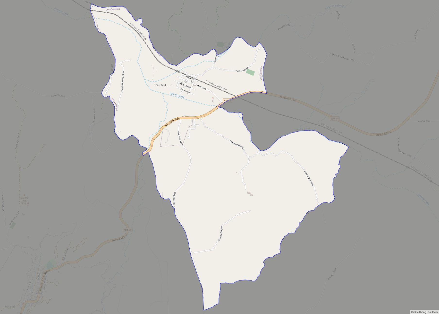
Los Cerrillos is a census-designated place (CDP) in Santa Fe County, New Mexico, United States. It is part of the Santa Fe, New Mexico Metropolitan Statistical Area. The population was 229 at the 2000 census. Accessible from State Highway 14 or The Turquoise Trail, Cerrillos is on the road from Santa Fe to Albuquerque, closer ... Read more
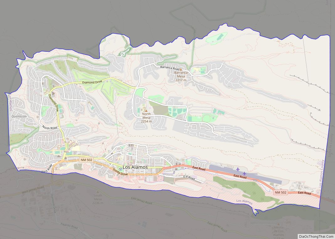
Los Alamos (Spanish: Los Álamos) is a census-designated place in Los Alamos County, New Mexico, United States, that is recognized as the development and creation place of the atomic bomb—the primary objective of the Manhattan Project by Los Alamos National Laboratory during World War II. The town is located on four mesas of the Pajarito ... Read more
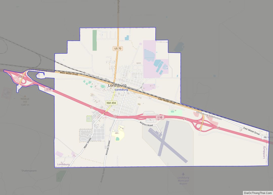
Lordsburg is a city in and the county seat of Hidalgo County, New Mexico, United States. Hidalgo County includes the southern “bootheel” of New Mexico, along the Arizona border. The population was 2,797 at the 2010 census, down from 3,379 in 2000. Lordsburg city overview: Name: Lordsburg city LSAD Code: 25 LSAD Description: city (suffix) ... Read more
