Lordsburg is a city in and the county seat of Hidalgo County, New Mexico, United States. Hidalgo County includes the southern “bootheel” of New Mexico, along the Arizona border. The population was 2,797 at the 2010 census, down from 3,379 in 2000.
| Name: | Lordsburg city |
|---|---|
| LSAD Code: | 25 |
| LSAD Description: | city (suffix) |
| State: | New Mexico |
| County: | Hidalgo County |
| Founded: | 1880 |
| Elevation: | 4,250 ft (1,295 m) |
| Total Area: | 8.43 sq mi (21.82 km²) |
| Land Area: | 8.43 sq mi (21.82 km²) |
| Water Area: | 0.00 sq mi (0.00 km²) |
| Total Population: | 2,335 |
| Population Density: | 277.15/sq mi (107.01/km²) |
| ZIP code: | 88009, 88045 |
| Area code: | 575 |
| FIPS code: | 3542180 |
| GNISfeature ID: | 0891335 |
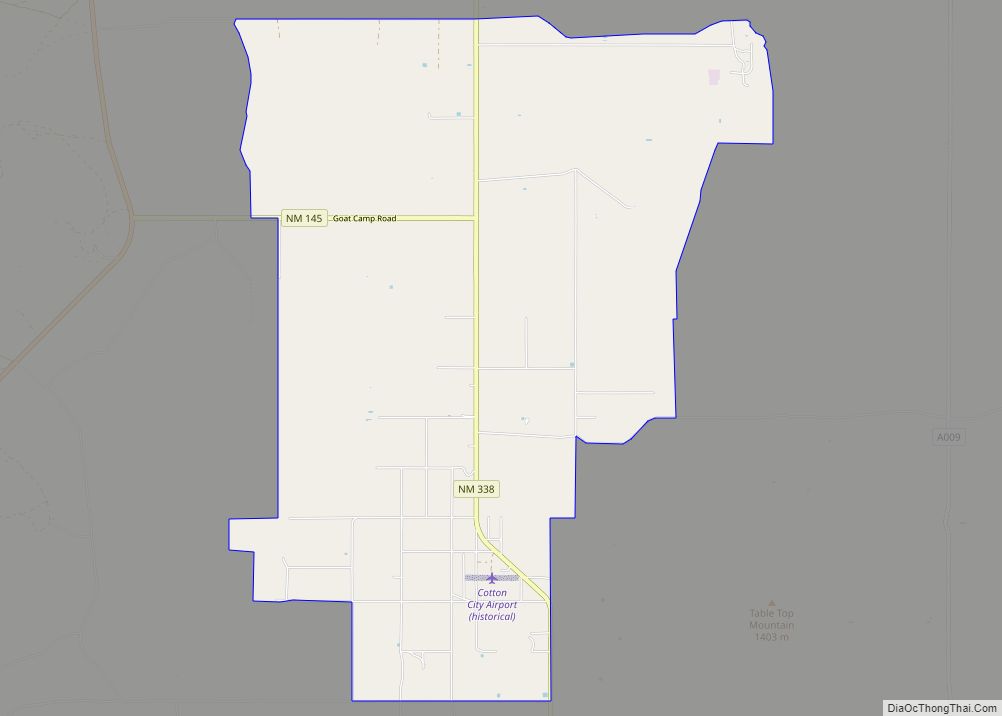
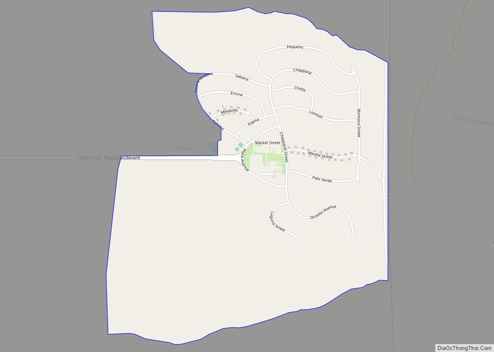
Online Interactive Map
Click on ![]() to view map in "full screen" mode.
to view map in "full screen" mode.
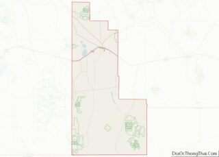
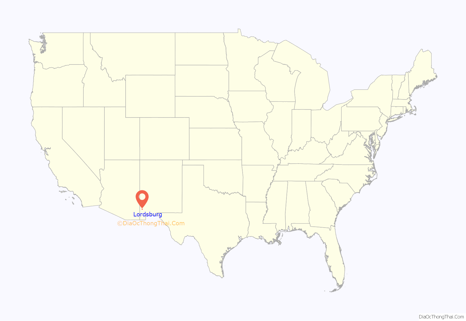
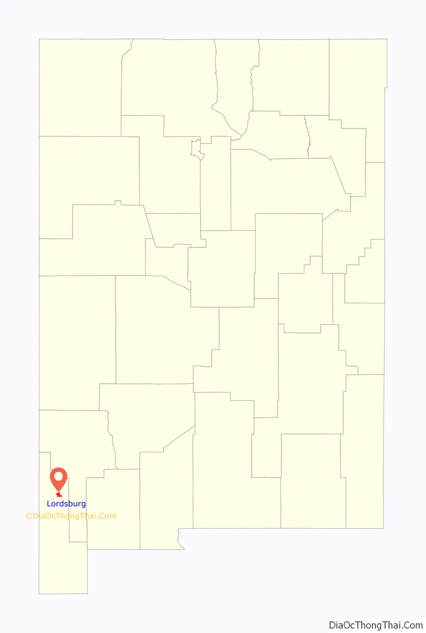
Lordsburg location map. Where is Lordsburg city?
History
Lordsburg was founded in 1880 on the route of the Southern Pacific Railroad. The Continental Divide Trail starts at the Crazy Cook Monument and travels through Lordsburg. Local lore is that Billy the Kid washed dishes in Lordsburg hotel kitchens such as the Stratford Hotel, and La Fonda, the historic “inn at the end of the Santa Fe Trail” during his teenage years.
New Mexico state song
Lordsburg is the birthplace of the official New Mexico state song, “O Fair New Mexico”. It was written by Lordsburg resident Elizabeth Garrett, the blind daughter of famed sheriff Pat Garrett. In 1917, Governor Washington Ellsworth Lindsey signed the legislation making it the official state song. In 1928, John Philip Sousa presented Governor Arthur T. Hannett and the people of New Mexico an arrangement of the state song embracing a musical story of the Indian, the cavalry, the Spanish and the Mexican.
Lordsburg Municipal Airport
In December 1938, the Lordsburg Municipal Airport (KLSB) began operation. It was the first airport in New Mexico. In 1927, Lordsburg was one of the stops on Charles Lindbergh’s transcontinental Spirit of Saint Louis air tour. In the early 1950s the airport was served by the original Frontier Airlines (1950–1986) which flew DC-3s on a route from El Paso to Phoenix that included stops at Las Cruces, Deming, and Lordsburg, as well as Clifton, Safford, and Tucson, Arizona. It is owned by the City of Lordsburg and is southeast, about one mile outside the city limits.
World War II
Lordsburg held as many as 1,500 Japanese Americans in a Japanese American internment camp operated by the U.S. Army during World War II. On July 27, 1942, shortly after the Lordsburg Internment Camp was opened, Private First Class Clarence Burleson, a sentry at the facility, allegedly shot two Japanese American internees under questionable circumstances. One of the victims, Hirota Isomura, apparently died instantly. The other, Toshiro Kobata, died before dawn. After a military investigation and court-martial, Burleson was found to have lawfully killed the two men. The camp operated until July 1943. The incident inspired an episode of the new Hawaii 5-0 series, “Ho’oani Makuakane”, Episode 4/9 (original air date December 13, 2013).
The camp at Lordsburg also held captured German and Italian soldiers.
Rest stop
For many years, Lordsburg has been a popular rest stop for people traveling to and from the West Coast by car on Interstate 10 and its precursor highway, U.S. Route 80. At 641 miles (1,032 km) from downtown Los Angeles, Lordsburg can comfortably be reached by car in less than one day. As Lordsburg had one of the few motels in the Southwest that would accept black guests (El Paso being a notable exception), it was especially popular with African American travelers in the mid-20th century during the end of legal segregation.
There are 12 motels and hotels in Lordsburg. Over 300 rooms are available to guests.
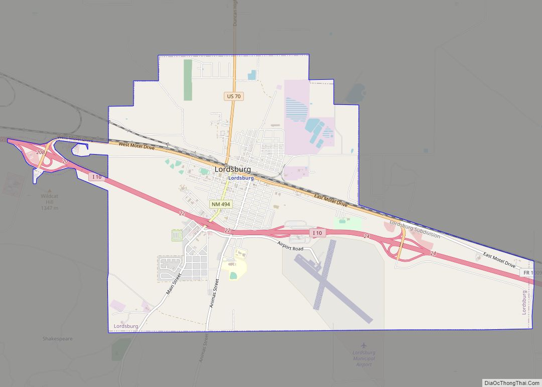
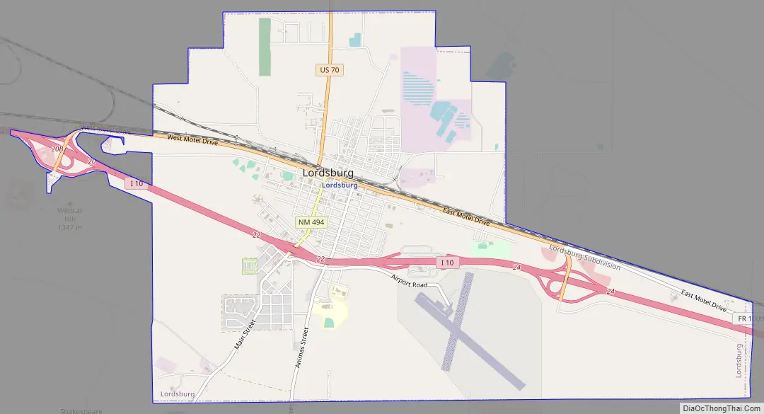
Lordsburg Road Map
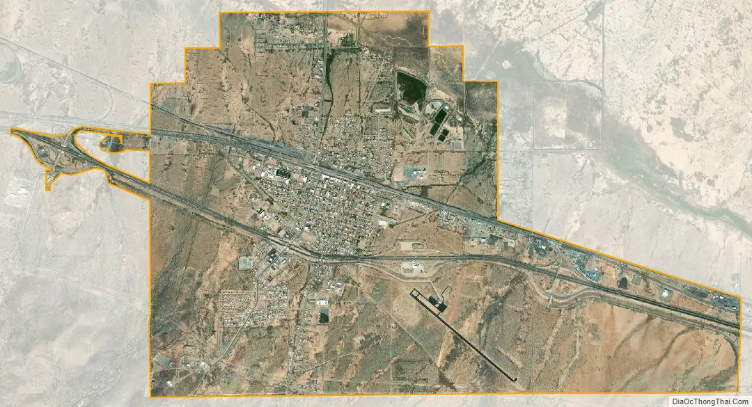
Lordsburg city Satellite Map
Geography
Lordsburg is in northern Hidalgo County, at the intersection of Interstate 10 and U.S. Route 70. I-10 leads east 60 miles (97 km) to Deming and 120 miles (190 km) to Las Cruces, while to the west it leads 155 miles (249 km) to Tucson, Arizona. US 70 follows I-10 to the east out of Lordsburg but leads northwest 153 miles (246 km) to its terminus at Globe, Arizona.
According to the United States Census Bureau, Lordsburg has a total area of 8.4 square miles (21.7 km), all land.
Climate
Lordsburg has a semi-arid climate (Köppen BSk), just avoiding designation as a desert climate (BWk).
Typical for the more southerly and lower elevations of the Intermountain West, summers are extremely hot during the daytime, with maxima above 90 °F or 32.2 °C for over four months on an average of 122 afternoons during a full year. 100 °F or 37.8 °C is exceeded on average during 30 afternoons each year, and the record high of 114 °F (45.6 °C) was set during a notorious southwestern heatwave on June 27, 1994. Humidity in early summer is very low, but increases in late summer due to the monsoon, which, between July and early October brings the majority of the year’s limited precipitation. From October temperatures cool off rapidly, and by November most mornings are below 32 °F or 0 °C, but afternoons remains comfortable to warm all through the winter, with only 10.1 afternoons failing to reach 50 °F or 10 °C and only one afternoon every two years not topping freezing. Minima fall below freezing on an average of 108 mornings, but 0 °F or −17.8 °C has been reached only during two exceptional cold waves in January 1962 and December 1978, when the record low of −14 °F or −25.6 °C was reached on the 9th.
Except for the freakishly wet December 1991 when 4.55 inches (115.6 mm) fell from a series of subtropical cyclones, monthly rainfalls above 4.00 inches or 101.6 millimetres are restricted to the monsoon season: the wettest month between 1971 and 2000 was July 1981 with 5.34 inches (135.6 mm). The wettest day has been June 28 of 1981 with 3.00 inches or 76.2 millimetres. Snowfall is very rare; the median for the year is zero and the mean only 3.5 inches or 0.09 metres; with the heaviest snowfall between 1971 and 2000 being of 11.0 inches or 0.28 metres during Christmas and Boxing Days, 1987.
See also
Map of New Mexico State and its subdivision: Map of other states:- Alabama
- Alaska
- Arizona
- Arkansas
- California
- Colorado
- Connecticut
- Delaware
- District of Columbia
- Florida
- Georgia
- Hawaii
- Idaho
- Illinois
- Indiana
- Iowa
- Kansas
- Kentucky
- Louisiana
- Maine
- Maryland
- Massachusetts
- Michigan
- Minnesota
- Mississippi
- Missouri
- Montana
- Nebraska
- Nevada
- New Hampshire
- New Jersey
- New Mexico
- New York
- North Carolina
- North Dakota
- Ohio
- Oklahoma
- Oregon
- Pennsylvania
- Rhode Island
- South Carolina
- South Dakota
- Tennessee
- Texas
- Utah
- Vermont
- Virginia
- Washington
- West Virginia
- Wisconsin
- Wyoming