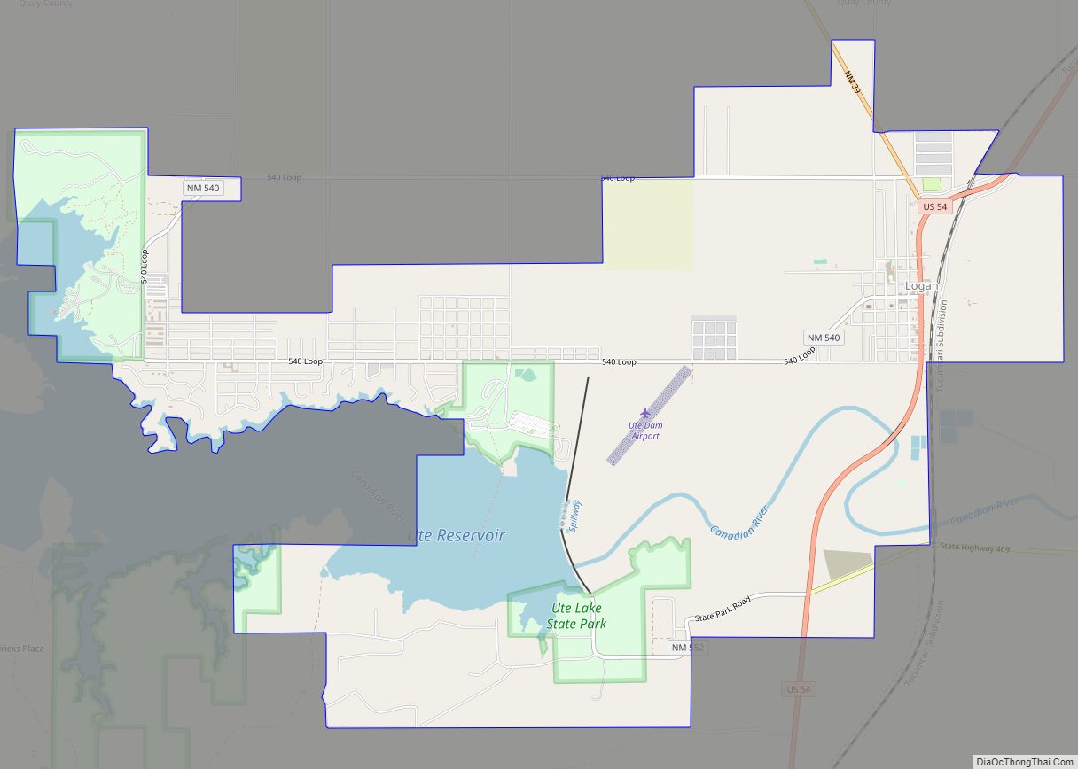
Logan is a village in Quay County, New Mexico, United States. The population was 1,042 at the 2010 census.
| Name: | Logan village |
|---|---|
| LSAD Code: | 47 |
| LSAD Description: | village (suffix) |
| State: | New Mexico |
| County: | Quay County |
| Elevation: | 3,819 ft (1,164 m) |
| Total Area: | 11.31 sq mi (29.28 km²) |
| Land Area: | 10.60 sq mi (27.44 km²) |
| Water Area: | 0.71 sq mi (1.84 km²) |
| Total Population: | 970 |
| Population Density: | 91.54/sq mi (35.35/km²) |
| ZIP code: | 88426 |
| Area code: | 575 |
| FIPS code: | 3542040 |
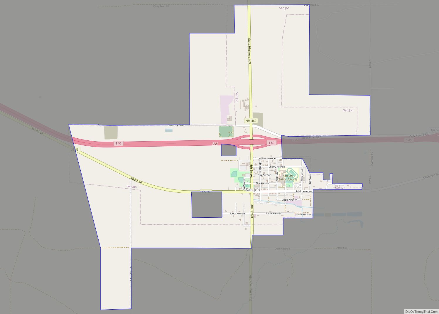
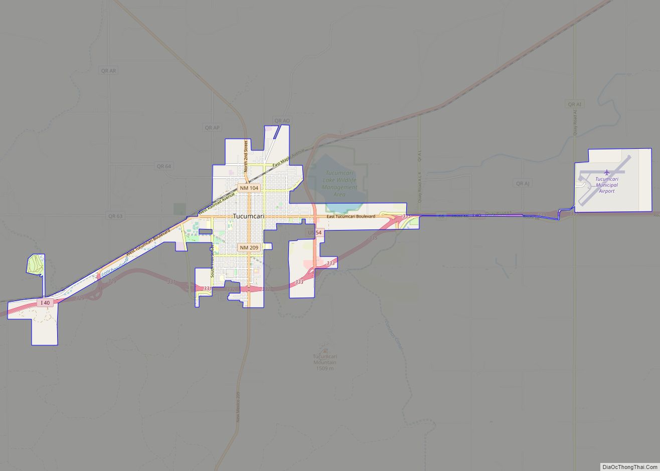
Online Interactive Map
Click on ![]() to view map in "full screen" mode.
to view map in "full screen" mode.
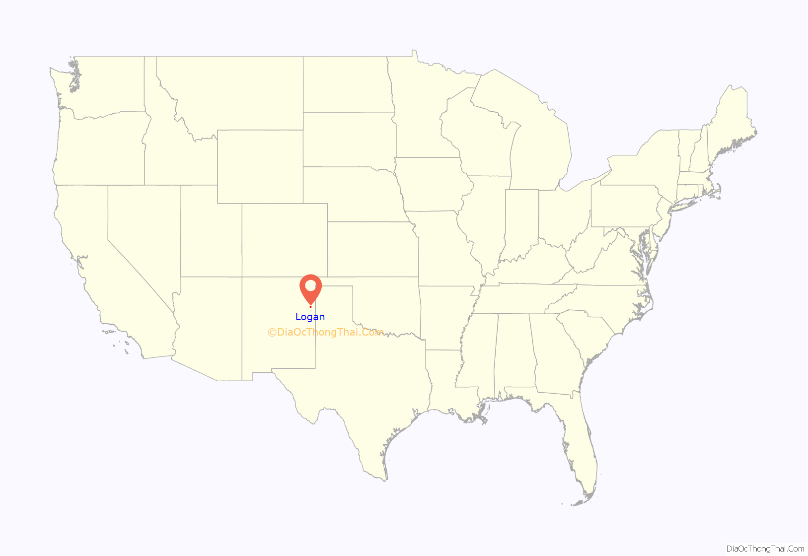
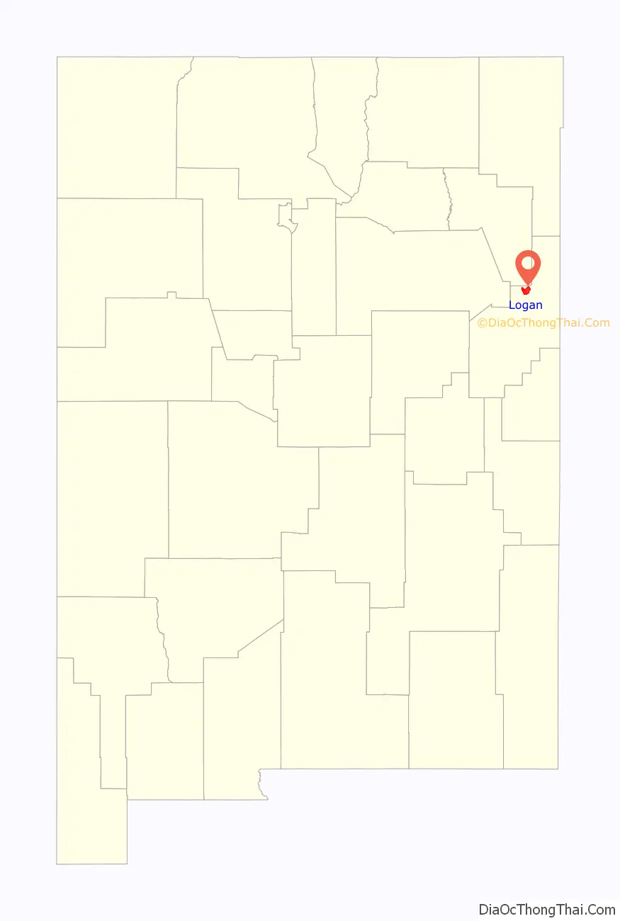
Logan location map. Where is Logan village?
History
Logan was born when the Chicago, Rock Island and Pacific Railroad constructed a bridge over the Canadian River. Eugene Logan was a well-known Texas Ranger who came to work on the bridge.
In 1963 and 1964, Ute Dam, its reservoir, and Ute Lake State Park were built west of Logan.
On March 23, 2007, severe thunderstorms passed through Eastern New Mexico and West Texas. The storms spawned several tornadoes including one in Logan, which destroyed 30 motor homes and mobile homes. Three were injured.
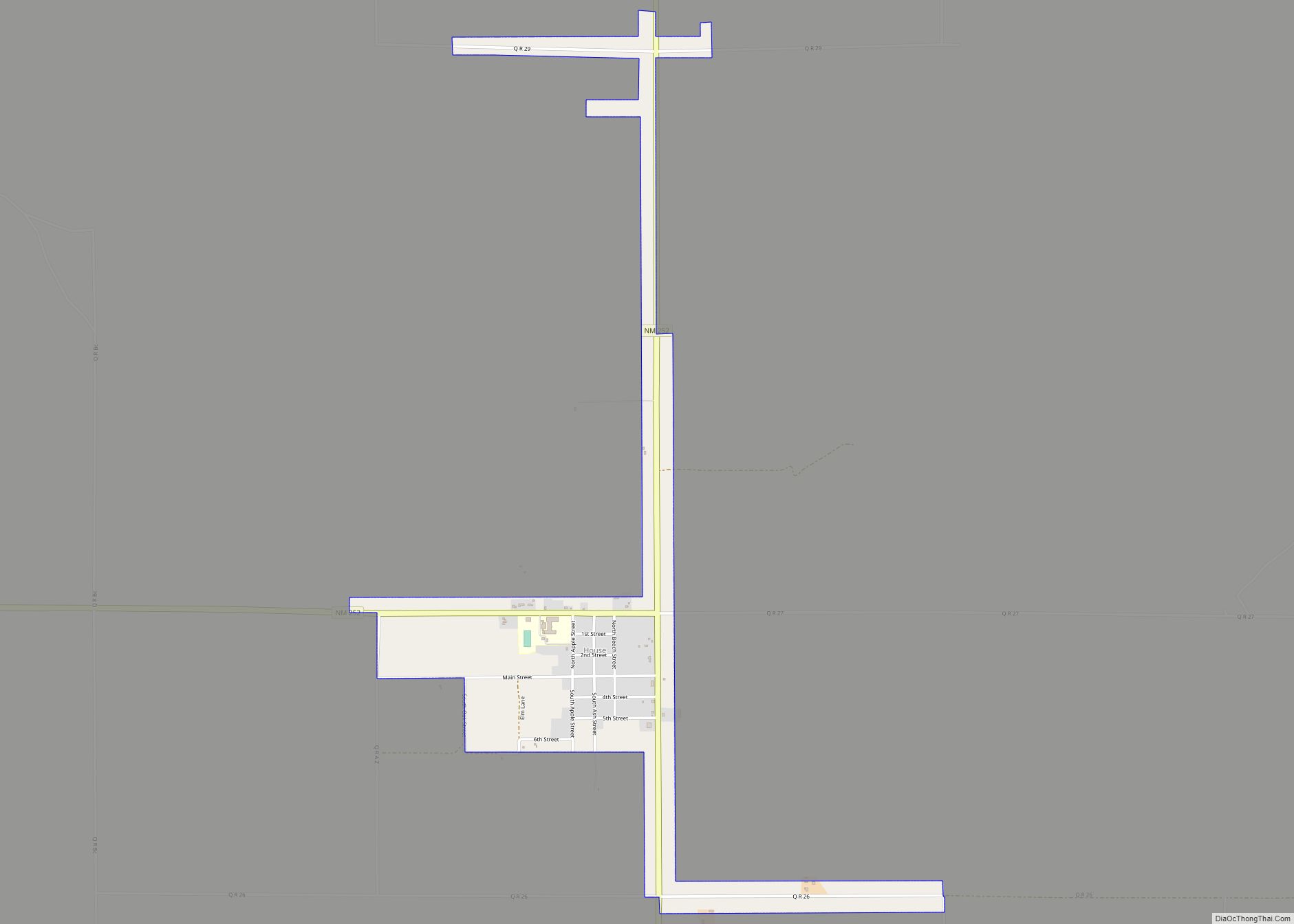
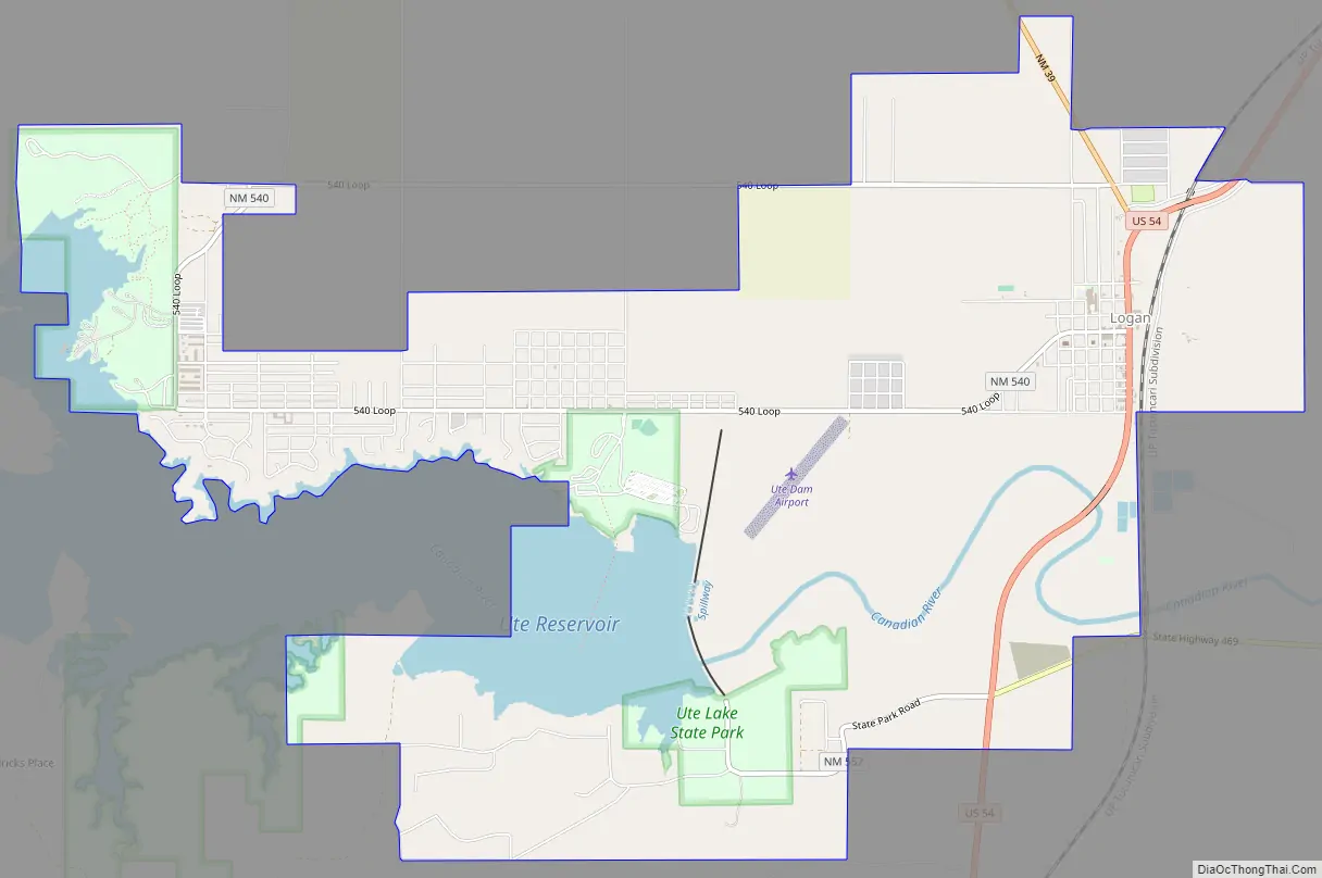
Logan Road Map
Logan city Satellite Map
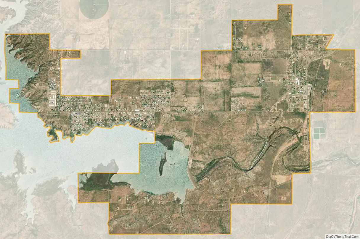
Geography
Logan is located at 35°21′41″N 103°26′52″W / 35.36139°N 103.44778°W / 35.36139; -103.44778 (35.361492, -103.447733). According to the United States Census Bureau, the village has a total area of 8.4 square miles (22 km), of which 8.0 square miles (21 km) is land and 0.5 square miles (1.3 km) (5.58%) is water.
See also
Map of New Mexico State and its subdivision: Map of other states:- Alabama
- Alaska
- Arizona
- Arkansas
- California
- Colorado
- Connecticut
- Delaware
- District of Columbia
- Florida
- Georgia
- Hawaii
- Idaho
- Illinois
- Indiana
- Iowa
- Kansas
- Kentucky
- Louisiana
- Maine
- Maryland
- Massachusetts
- Michigan
- Minnesota
- Mississippi
- Missouri
- Montana
- Nebraska
- Nevada
- New Hampshire
- New Jersey
- New Mexico
- New York
- North Carolina
- North Dakota
- Ohio
- Oklahoma
- Oregon
- Pennsylvania
- Rhode Island
- South Carolina
- South Dakota
- Tennessee
- Texas
- Utah
- Vermont
- Virginia
- Washington
- West Virginia
- Wisconsin
- Wyoming