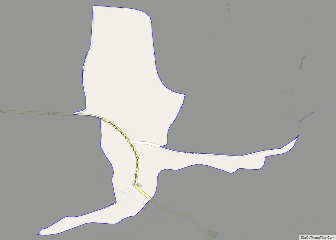
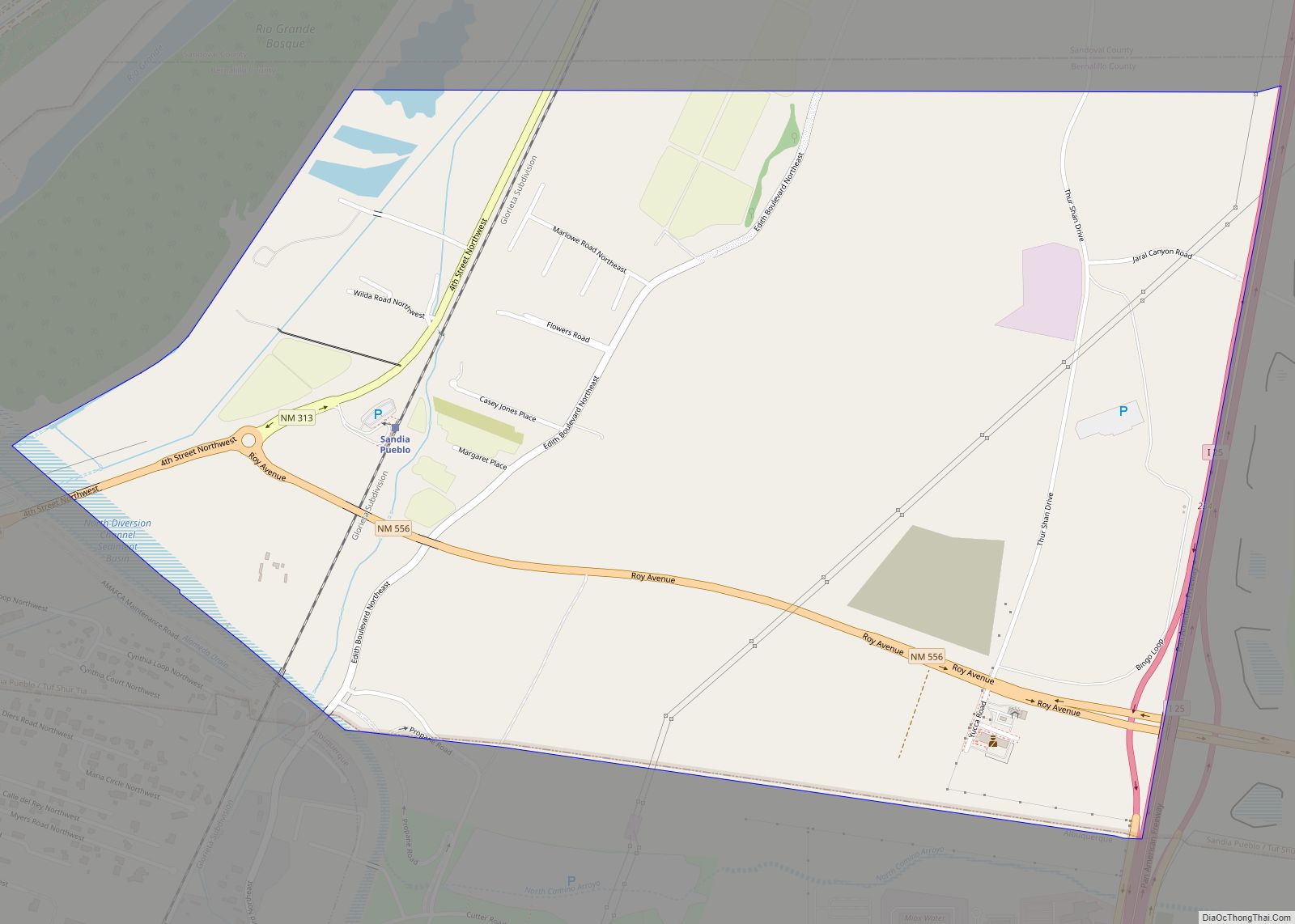
Los Ranchos de Albuquerque, known locally simply as “Los Ranchos” or “The Village,” is a village in Bernalillo County, New Mexico. The population was 6,024 at the time of the 2010 Census.
| Name: | Los Ranchos de Albuquerque village |
|---|---|
| LSAD Code: | 47 |
| LSAD Description: | village (suffix) |
| State: | New Mexico |
| County: | Bernalillo County |
| Elevation: | 4,987 ft (1,520 m) |
| Total Area: | 4.45 sq mi (11.53 km²) |
| Land Area: | 4.45 sq mi (11.53 km²) |
| Water Area: | 0.00 sq mi (0.00 km²) |
| Total Population: | 5,874 |
| Population Density: | 1,319.41/sq mi (509.45/km²) |
| ZIP code: | 87107, 87114 |
| Area code: | 505 |
| FIPS code: | 3543930 |
| GNISfeature ID: | 0918239 |
| Website: | losranchosnm.gov |
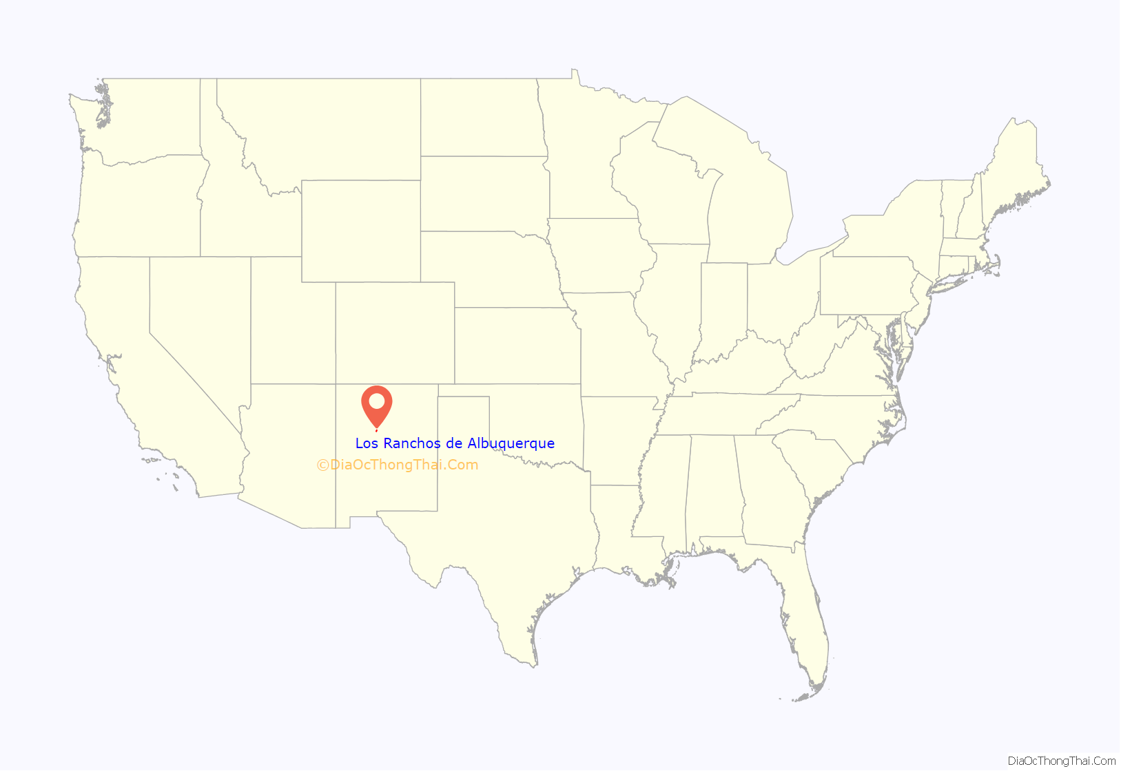
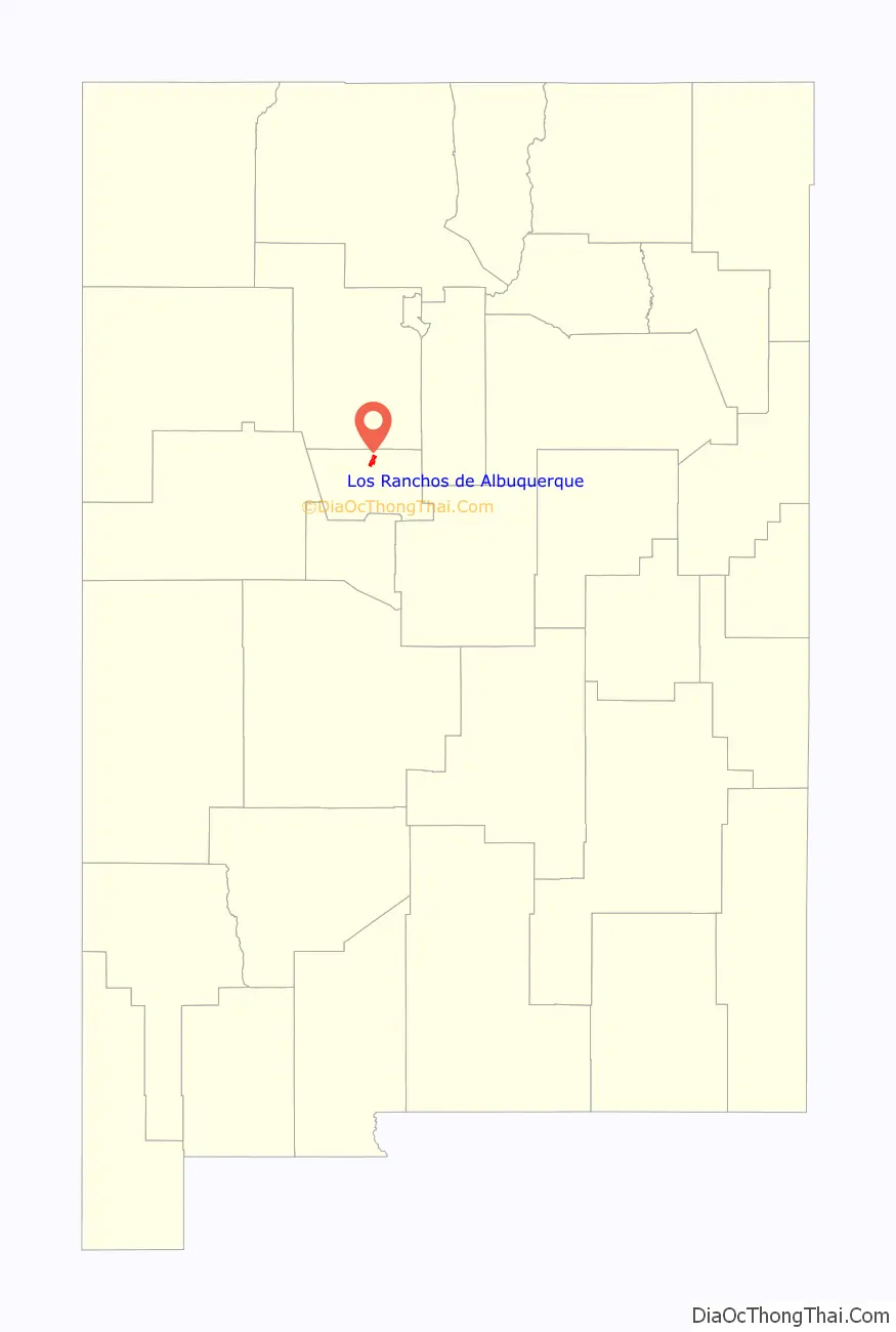
Online Interactive Map
Click on ![]() to view map in "full screen" mode.
to view map in "full screen" mode.
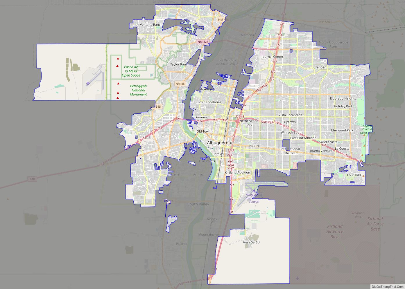
Los Ranchos de Albuquerque location map. Where is Los Ranchos de Albuquerque village?
History
Pueblo tribes
Signs of human activity in the middle Rio Grande valley date back to as early as 10,000 B.C. The introduction of cultivated maize from Mexico in 1,000 B.C. marked a major turning point in the settlement of the region, causing the traditionally nomadic tribes of the area to adopt a more agricultural way of life. The first pueblos in the area appeared between one and 600 A.D., established by the Tiwas (called Tigua by the Spaniards), and by 1,200 AD there were already 14 major sites along the Rio Grande from Algodones to Isleta, the Chamisal Site in present-day Los Ranchos being among the largest of these communities.
Hernando de Alvarado was reported as being one of the first Europeans to lay eyes on the region in September 1540 as the leader of a small convoy sent out by Coronado. He described the area as a “broad valley planted with fields of maize and dotted with cottonwood groves. There are twelve pueblos, whose houses are built of mud and are two stories high.”
Early settlers
The first colonizing expedition into New Mexico was led by Juan de Oñate in 1598, and the fertile valley between Alameda and Atrisco was gradually populated by settlers living on scattered farms. The settlers were briefly driven out during the Pueblo Revolt of 1680, but returned in 1692. Frequent Apache and Navajo raiding compelled the settlers to consolidate their scattered dwellings into a series of plazas, which were easier to defend. Upriver from Albuquerque, these included Los Duranes, Los Candelarias, Los Griegos, and Los Ranchos, or more formally Plaza de Señor San José de los Ranchos. The Los Ranchos plaza was probably established around 1750, and had 176 residents living in 40 households at the time of the 1790 census. By 1814, the population had increased to 65 households and 331 people, and the village even became the seat of Bernalillo County for a brief period from 1851 to 1854. Unfortunately for its residents, the Los Ranchos area was prone to flooding, and the old village was badly damaged by major floods in 1874 and 1891 before being completely wiped away in a third flood in 1904. The continued flooding also turned much of the land alkaline and untillable.
Early 20th-century development
Many of the settling families sold their land to Anglo settlers and speculators after the railroad reached Albuquerque in 1880. In the face of growing demand for more housing, small subdivisions, land holdings and large country estates began to appear along Rio Grande Boulevard, new roads were constructed and existing ones were paved or removed. During the 20th century, a half-mile-long section of the Guadalupe Trail starting just south of Chamisal Road and extending north to Ranchitos Road became known as the new Los Ranchos.
“The 1930s marked a time when Albuquerque families began moving to the North Valley in greater numbers, some buying and restoring abandoned adobe homes, others proceeding to build large new houses.” United States Representatives Albert Simms and his wife Ruth Hanna McCormick were among these families and built two houses designed by Santa Fe architect John Gaw Meem on the site of the current-day Los Poblanos Ranch. The valley continued to be home to many farms and ranches, and dairies were run by both Anglo and Spanish families alike. After World War II there was a new flood of settlers to Albuquerque, and the number of able-bodied men to work the land had thinned. Housing developments began to pop up on any available land around the Valley. Rob Lee Meadows was built on the site of the old Los Ranchos plaza, the farmlands belonging to the Robert Dietz family were turned into the rows of houses of Dietz Farms and over 100 acres of farm owned by the Charles Mann family became the present day Meadows on Rio Grande and Thomas Village homes.
Founding and incorporation
This sudden influx of newcomers and development after the war caused alarm that Albuquerque proper would annex Los Ranchos, and residents sought incorporation to prevent such a fate. After a successful vote, the village of Los Ranchos de Albuquerque was incorporated on December 29, 1958. People involved in incorporating the village included William Kitsch, Frederick O’Hara, Sam Hartnett, Paul Gillespie and Robert Nordhaus. This area contained the least developed section of the valley and included many of the larger homes and remaining open space. Restrictions on lot size and use have kept this area less built up and more verdant than other parts of the North Valley.
Today Los Ranchos has been able to preserve much of its original rural agricultural nature and is one of the most desirable places of high-end residence in the entire Albuquerque area.
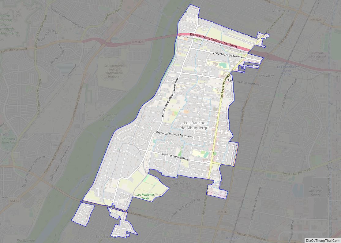
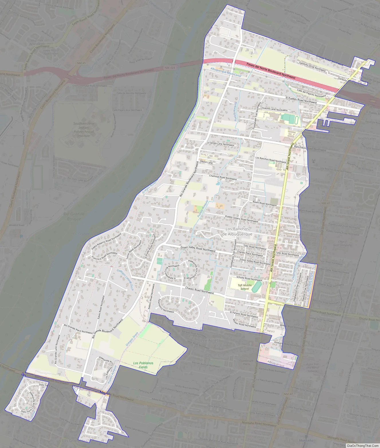
Los Ranchos de Albuquerque Road Map
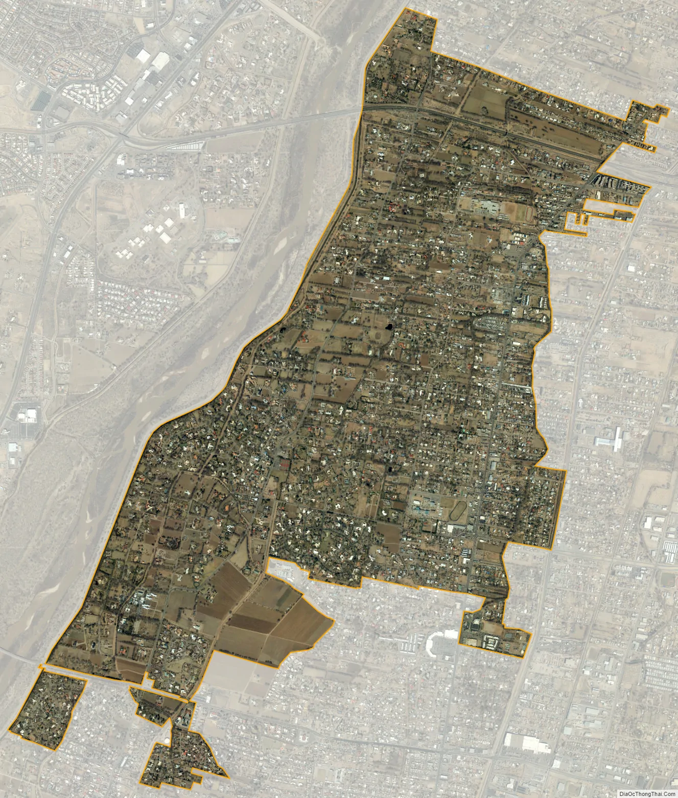
Los Ranchos de Albuquerque city Satellite Map
Geography
Los Ranchos de Albuquerque is located at 35°9′42″N 106°38′47″W / 35.16167°N 106.64639°W / 35.16167; -106.64639 (35.161644, -106.646432).
According to the United States Census Bureau, the village has a total area of 4.4 square miles (11.3 km), all land.
See also
Map of New Mexico State and its subdivision: Map of other states:- Alabama
- Alaska
- Arizona
- Arkansas
- California
- Colorado
- Connecticut
- Delaware
- District of Columbia
- Florida
- Georgia
- Hawaii
- Idaho
- Illinois
- Indiana
- Iowa
- Kansas
- Kentucky
- Louisiana
- Maine
- Maryland
- Massachusetts
- Michigan
- Minnesota
- Mississippi
- Missouri
- Montana
- Nebraska
- Nevada
- New Hampshire
- New Jersey
- New Mexico
- New York
- North Carolina
- North Dakota
- Ohio
- Oklahoma
- Oregon
- Pennsylvania
- Rhode Island
- South Carolina
- South Dakota
- Tennessee
- Texas
- Utah
- Vermont
- Virginia
- Washington
- West Virginia
- Wisconsin
- Wyoming