Lamy is a census-designated place (CDP) in Santa Fe County, New Mexico, United States, 18 miles (29 km) south of the city of Santa Fe. The community was named for Archbishop Jean-Baptiste Lamy, and lies within the Bishop John Lamy Spanish Land Grant, which dates back to the eighteenth century.
Lamy is part of the Santa Fe, New Mexico, Metropolitan Statistical Area. The population was 218 at the 2010 census. The former Atchison, Topeka, and Santa Fe Railroad (ATSF), now the Burlington Northern Santa Fe (BNSF), passes through Lamy. This railroad, usually called just the “Santa Fe,” was originally planned to run from Atchison, Kansas, on the Missouri River, to Santa Fe, the capital city of New Mexico, and then points west. However, as the tracks progressed west into New Mexico, the civil engineers in charge realized that the hills surrounding Santa Fe made this impractical. Hence, they built the railway line though Lamy, instead. Later on, a spur line was built from Lamy to Santa Fe, bringing the railroad to Santa Fe at last. In 1896 the Fred Harvey Company built the luxurious El Ortiz Hotel here. Thus Lamy became an important railroad junction. From 1992 to 2014, the spur line was taken over by the Santa Fe Southern Railway, which operated a popular excursion train, using vintage passenger railcars and modern freight cars, between Santa Fe and Lamy.
In 2020, several prominent Santa Fe residents, including novelist George R.R. Martin, created Sky Railway, an excursion train that runs on Santa Fe Southern Railway’s route between Lamy and Santa Fe. Sky Railway began operations in December, 2021.
The significance of Lamy as a railroad junction is related in the Oscar-nominated documentary, The Day After Trinity (1980), about the building of the first atomic bomb, and is referred to by instrumental group the California Guitar Trio in a five-part suite Train to Lamy on their second album Invitation (1995).
| Name: | Lamy CDP |
|---|---|
| LSAD Code: | 57 |
| LSAD Description: | CDP (suffix) |
| State: | New Mexico |
| County: | Santa Fe County |
| Elevation: | 6,483 ft (1,976 m) |
| Total Area: | 2.59 sq mi (6.71 km²) |
| Land Area: | 2.59 sq mi (6.71 km²) |
| Water Area: | 0.00 sq mi (0.00 km²) |
| Total Population: | 210 |
| Population Density: | 81.08/sq mi (31.30/km²) |
| ZIP code: | 87540 |
| Area code: | 505 |
| FIPS code: | 3538890 |
| GNISfeature ID: | 0890917 |
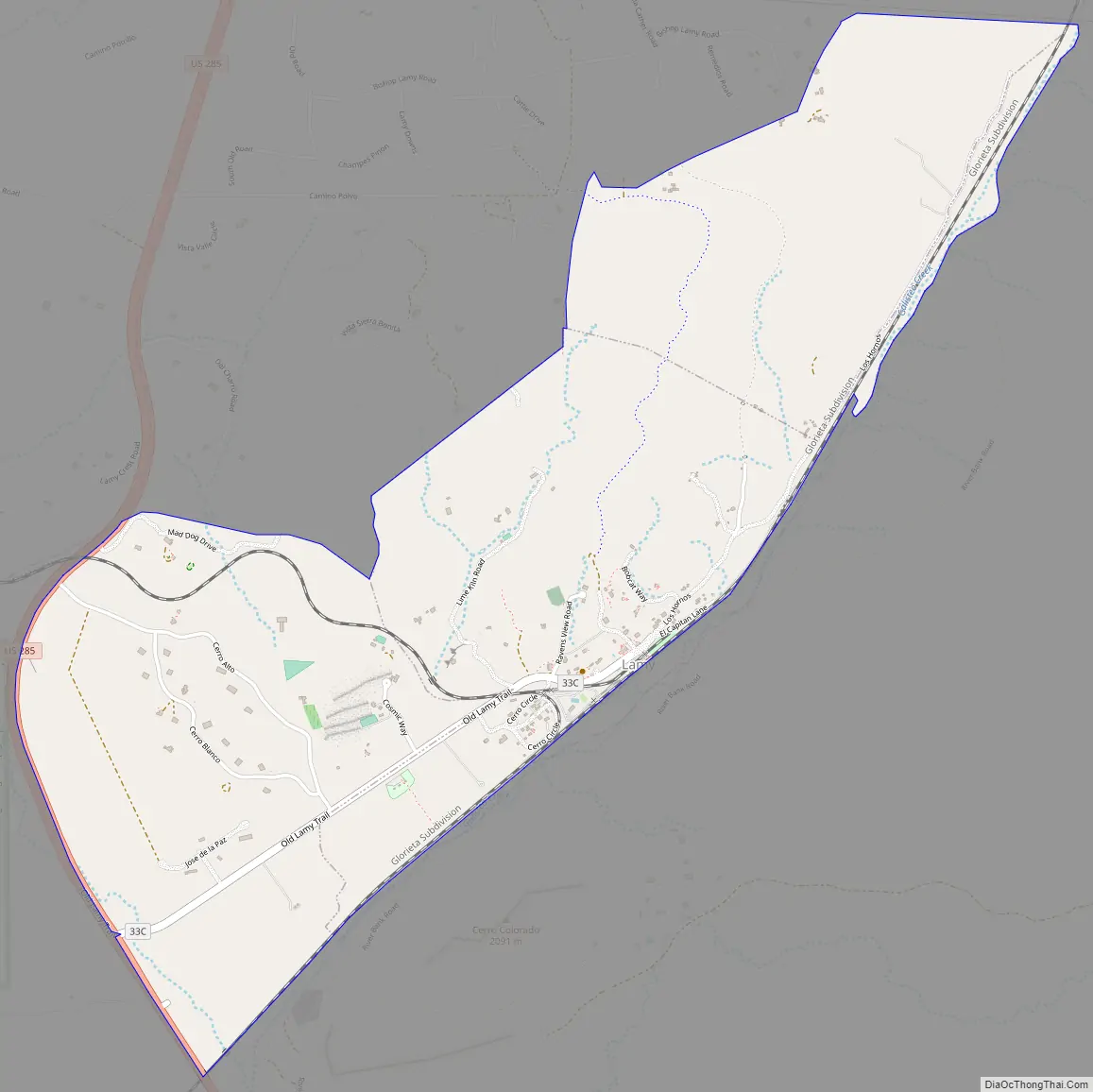
Online Interactive Map
Click on ![]() to view map in "full screen" mode.
to view map in "full screen" mode.
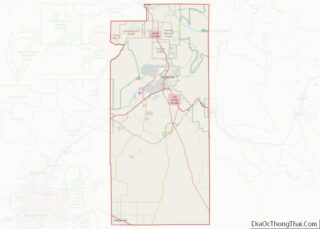
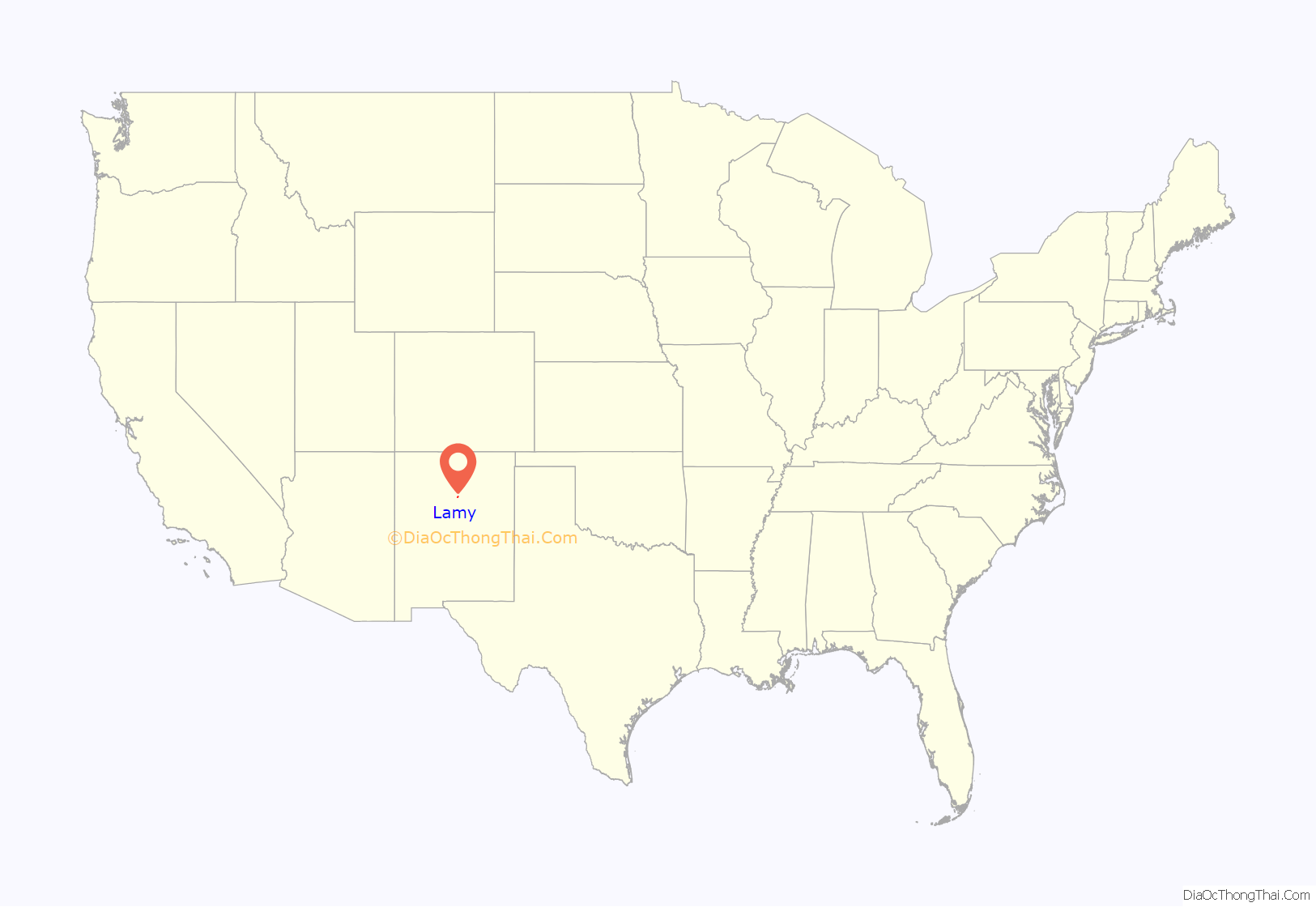
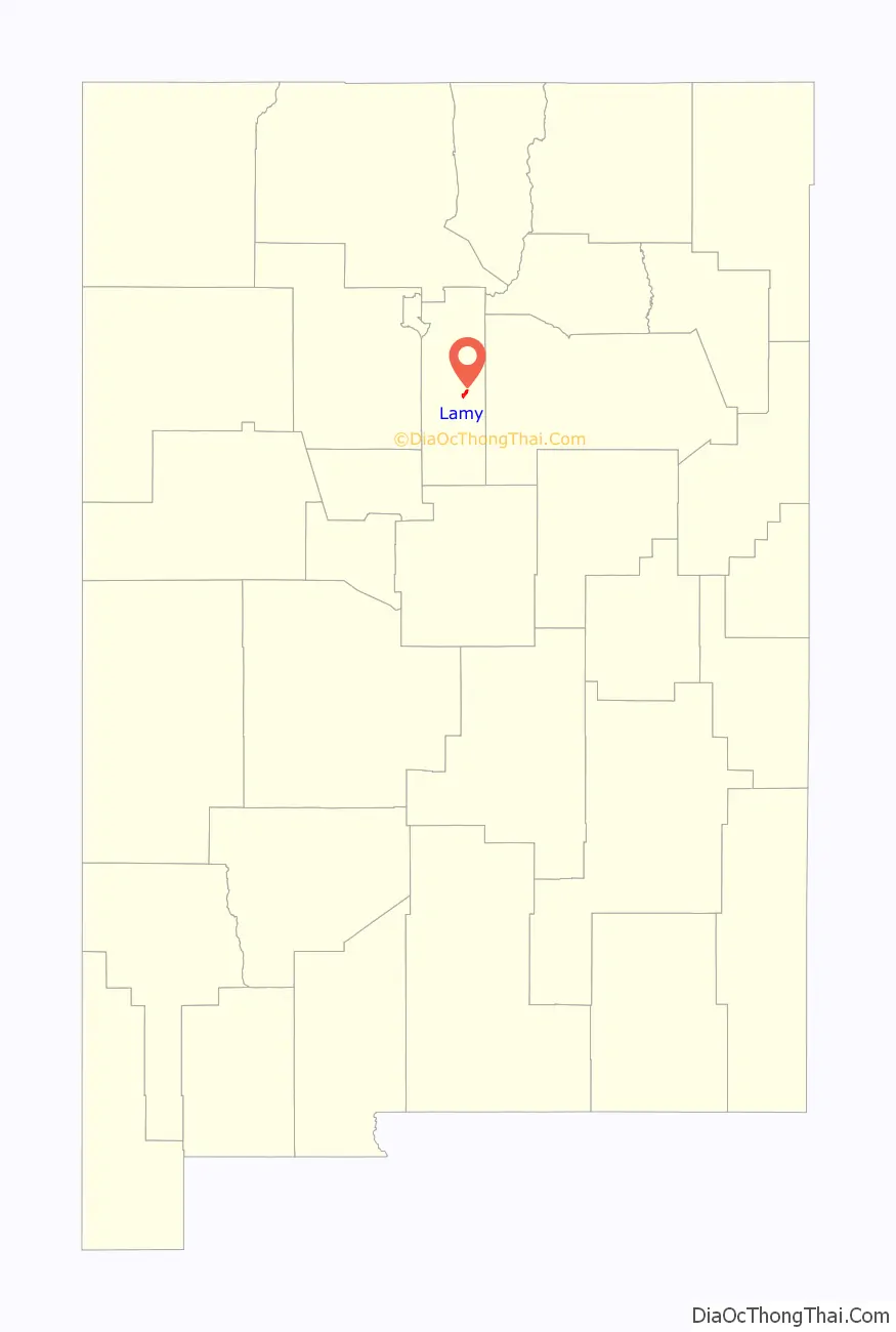
Lamy location map. Where is Lamy CDP?
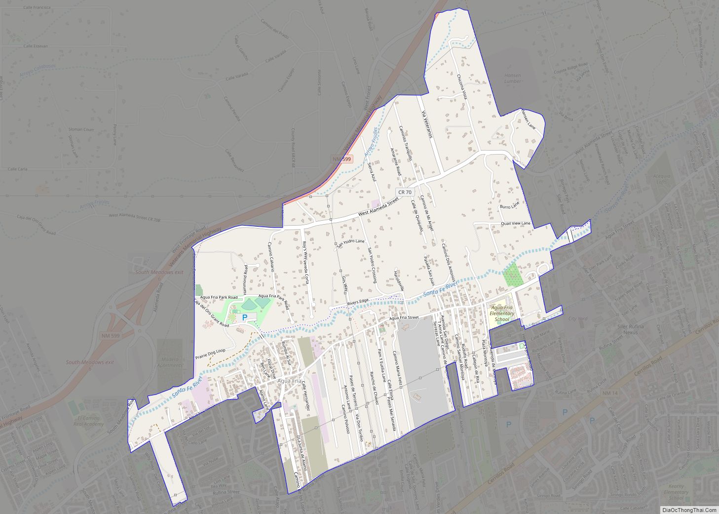
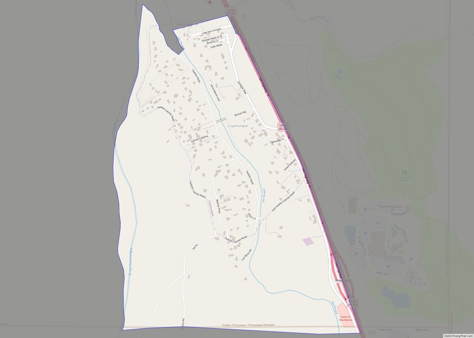
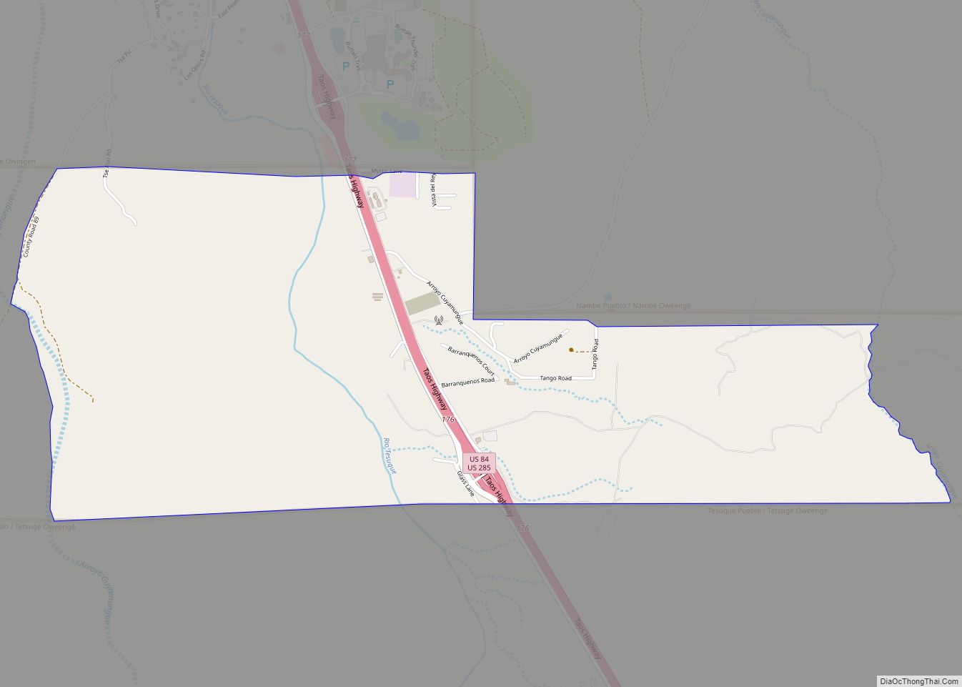
Lamy Road Map
Lamy city Satellite Map

Geography
Lamy is located at 35°28′48″N 105°52′48″W / 35.480°N 105.88°W / 35.480; -105.88.
According to the United States Census Bureau, the CDP has a total area of 1.1 square miles (2.8 km), all land.
See also
Map of New Mexico State and its subdivision: Map of other states:- Alabama
- Alaska
- Arizona
- Arkansas
- California
- Colorado
- Connecticut
- Delaware
- District of Columbia
- Florida
- Georgia
- Hawaii
- Idaho
- Illinois
- Indiana
- Iowa
- Kansas
- Kentucky
- Louisiana
- Maine
- Maryland
- Massachusetts
- Michigan
- Minnesota
- Mississippi
- Missouri
- Montana
- Nebraska
- Nevada
- New Hampshire
- New Jersey
- New Mexico
- New York
- North Carolina
- North Dakota
- Ohio
- Oklahoma
- Oregon
- Pennsylvania
- Rhode Island
- South Carolina
- South Dakota
- Tennessee
- Texas
- Utah
- Vermont
- Virginia
- Washington
- West Virginia
- Wisconsin
- Wyoming