Los Lunas is a village in Valencia County, New Mexico, United States. As of the 2010 census, the village population is 14,835 inside the village limits due to the new housing developments at El Cerro de Los Lunas (Huning Ranch). It is the county seat of Valencia County. Los Lunas is part of the Albuquerque Metropolitan Statistical Area. The name “Los Lunas” is a partial Anglicization of the name of the Luna family, who originally settled in the area (los Luna, in Spanish).
| Name: | Los Lunas village |
|---|---|
| LSAD Code: | 47 |
| LSAD Description: | village (suffix) |
| State: | New Mexico |
| County: | Valencia County |
| Elevation: | 4,856 ft (1,480 m) |
| Total Area: | 20.37 sq mi (52.75 km²) |
| Land Area: | 20.36 sq mi (52.74 km²) |
| Water Area: | 0.00 sq mi (0.01 km²) |
| Total Population: | 17,242 |
| Population Density: | 846.73/sq mi (326.93/km²) |
| ZIP code: | 87031 |
| Area code: | 505 |
| FIPS code: | 3543370 |
| GNISfeature ID: | 0891361 |
| Website: | www.loslunasnm.gov |
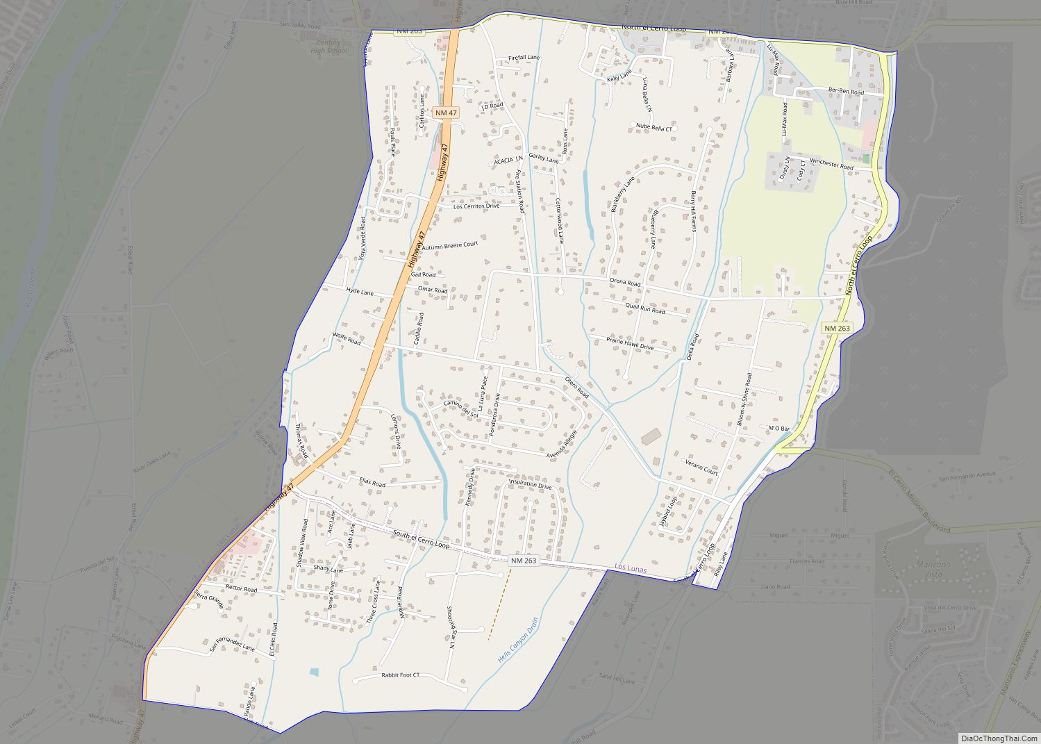
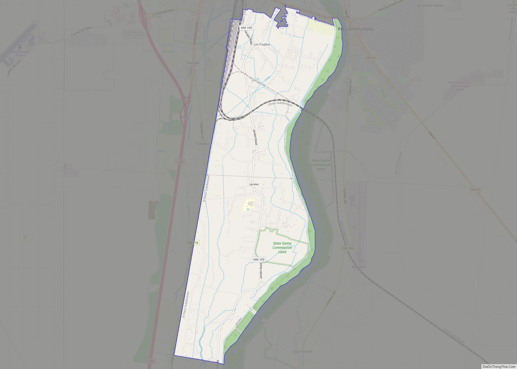
Online Interactive Map
Click on ![]() to view map in "full screen" mode.
to view map in "full screen" mode.
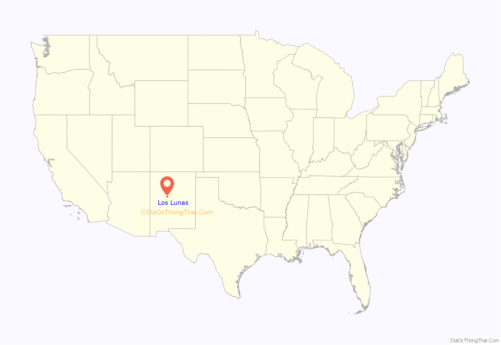
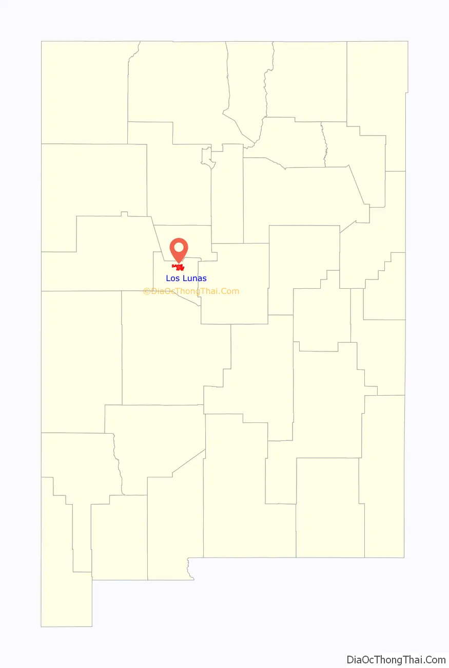
Los Lunas location map. Where is Los Lunas village?
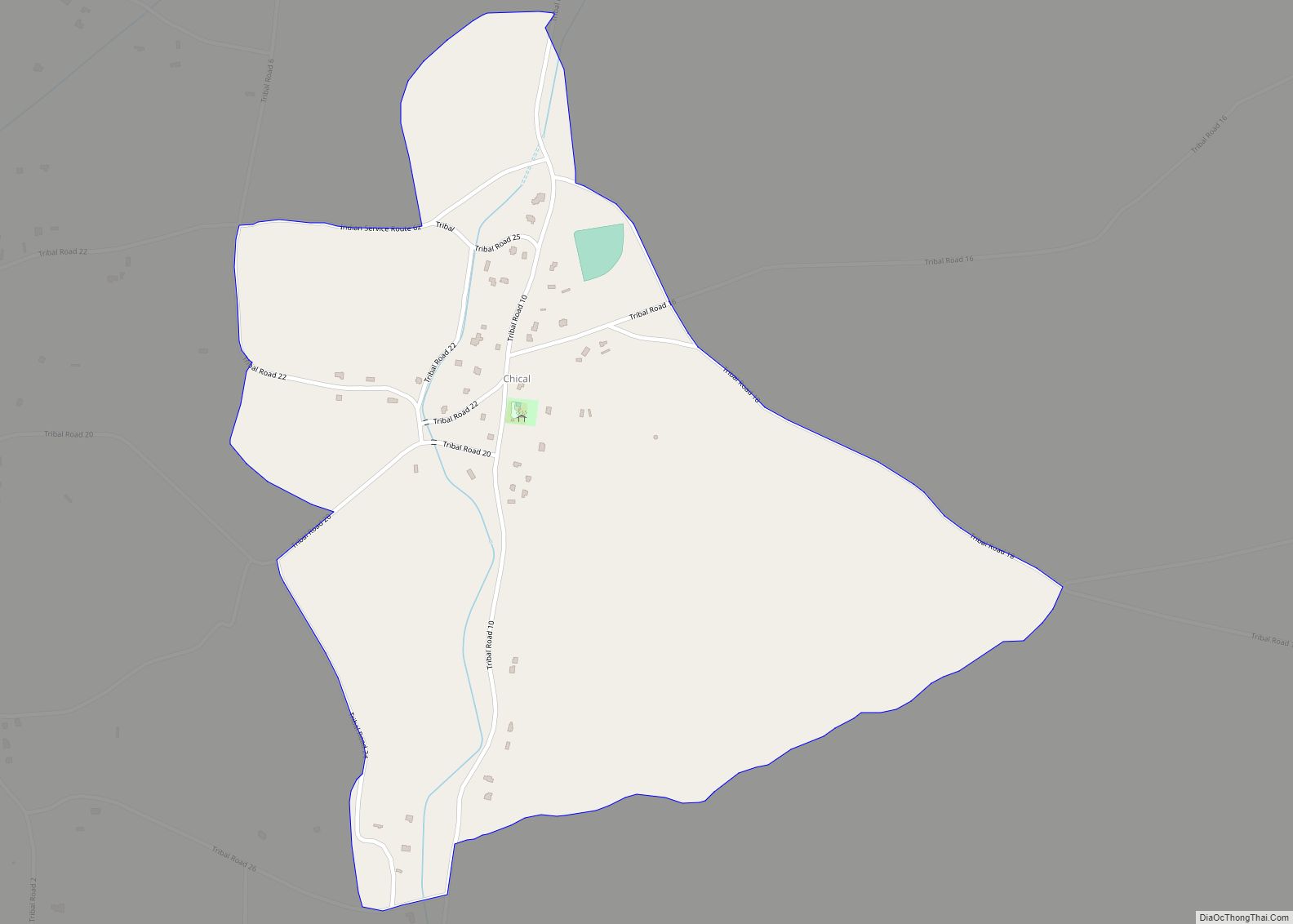
History
The original land grant was made to Don Adrian Luna Candelaria in 1716, but within two years it was given to the Luna family. Some Civil War battles were fought near the village. Los Lunas became the county seat in 1876 and became an incorporated village in 1928. The Los Lunas Decalogue Stone is located nearby.
Los Lunas Road Map

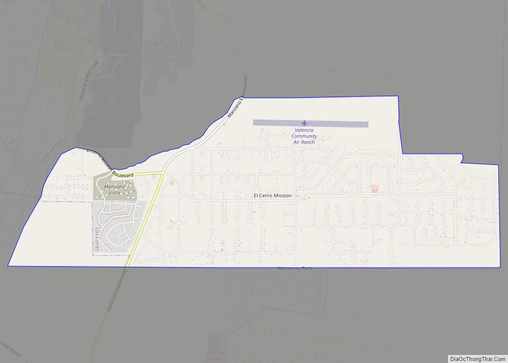
Los Lunas city Satellite Map

Geography
Los Lunas is located at 34°48′34″N 106°44′7″W / 34.80944°N 106.73528°W / 34.80944; -106.73528 (34.809336, −106.735247). According to the United States Census Bureau, the village has a total area of 10.1 square miles (26.0 km), all land. The village lies in the Rio Grande Valley of the Albuquerque Basin on the west bank of the Rio Grande, and is on State Highway 6, east of Interstate 25. El Cerro de Los Lunas, a volcano related to the Rio Grande rift, forms a prominent landmark at the western edge of the village.
See also
Map of New Mexico State and its subdivision: Map of other states:- Alabama
- Alaska
- Arizona
- Arkansas
- California
- Colorado
- Connecticut
- Delaware
- District of Columbia
- Florida
- Georgia
- Hawaii
- Idaho
- Illinois
- Indiana
- Iowa
- Kansas
- Kentucky
- Louisiana
- Maine
- Maryland
- Massachusetts
- Michigan
- Minnesota
- Mississippi
- Missouri
- Montana
- Nebraska
- Nevada
- New Hampshire
- New Jersey
- New Mexico
- New York
- North Carolina
- North Dakota
- Ohio
- Oklahoma
- Oregon
- Pennsylvania
- Rhode Island
- South Carolina
- South Dakota
- Tennessee
- Texas
- Utah
- Vermont
- Virginia
- Washington
- West Virginia
- Wisconsin
- Wyoming