Map of New Hyde Park village
New Hyde Park is a village in the Towns of Hempstead and North Hempstead in Nassau County, on Long Island, in New York, United States. It is the anchor community of the Greater New Hyde Park area. The population was 9,712 at the 2010 census. New Hyde Park village overview: Name: New Hyde Park village ... Read more
Map of New Hyde Park village
Map of New Hempstead village
New Hempstead is a village in the town of Ramapo, Rockland County, New York, United States. It is located north of New Square, east of Wesley Hills, south of Pomona, and west of New City. The population was 5,132 at the 2010 census. Residents utilize the Spring Valley and New City post offices. New Hempstead ... Read more
Map of New Hempstead village
Map of New Hartford village, New York
New Hartford is a village in Oneida County, New York, United States. The population was 1,847 at the 2010 census. The name was provided by early settlers from New Hartford, Connecticut. The Village of New Hartford is inside the Town of New Hartford, near the border with Utica. New Hartford village overview: Name: New Hartford ... Read more
Map of New Hartford village, New York
Map of New City CDP
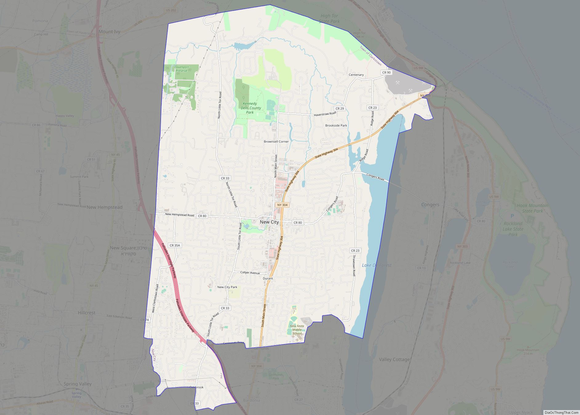
New City is a hamlet and census-designated place in the town of Clarkstown, Rockland County, New York, United States, part of the New York Metropolitan Area. An affluent suburb of New York City, the hamlet is located 18 miles (29 km) north of the city at its closest point, Riverdale, Bronx. Within Rockland County, New City ... Read more
Map of New City CDP
Map of New Cassel CDP
New Cassel is a hamlet and census-designated place (CDP) in the Town of North Hempstead in Nassau County, on Long Island, in New York, United States. The population was 14,059 at the 2010 census, representing a net gain of 761 over the 2000 census. New Cassel CDP overview: Name: New Cassel CDP LSAD Code: 57 ... Read more
Map of New Cassel CDP
Map of New Berlin village, New York
New Berlin (/ˈbɜːrlɪn/ BUR-lin) is a village in Chenango County, New York, United States. The population was 1,028 at the 2010 census. The village is by the eastern town line of the town of New Berlin and is northeast of Norwich. New Berlin village overview: Name: New Berlin village LSAD Code: 47 LSAD Description: village ... Read more
Map of New Berlin village, New York
Map of Nesconset CDP
Nesconset is a hamlet and census-designated place (CDP) in the town of Smithtown, located in Suffolk County, Long Island, New York, United States. The population was 13,387 at the 2010 census. Nesconset CDP overview: Name: Nesconset CDP LSAD Code: 57 LSAD Description: CDP (suffix) State: New York County: Suffolk County Elevation: 118 ft (36 m) Total Area: ... Read more
Map of Nesconset CDP
Map of Newburgh city, New York
Newburgh is a city in the U.S. state of New York, within Orange County. With a population of 28,856 as of the 2020 census, it is a principal city of the Poughkeepsie–Newburgh–Middletown metropolitan area. Located 60 miles (97 km) north of New York City, and 90 miles (140 km) south of Albany on the Hudson River within ... Read more
Map of Newburgh city, New York
Map of Newark village, New York
Newark is a village in Wayne County, New York, United States, 35 miles (56 km) south east of Rochester and 48 miles (77 km) west of Syracuse. The population was 9,017 at the 2020 census. The Village of Newark is in the south part of the Town of Arcadia and is in the south of Wayne County. ... Read more
Map of Newark village, New York
Map of Newark Valley village
Newark Valley is a village in Tioga County, New York, United States. The population was 997 at the 2010 census. It is part of the Binghamton Metropolitan Statistical Area. The village is named after the city of Newark, New Jersey. Newark Valley is in the western part of the Town of Newark Valley and is ... Read more
Map of Newark Valley village
Map of New York Mills village, New York
New York Mills is a village in Oneida County, New York, United States. The population was 3,327 at the 2010 census. The village of New York Mills is partly in the town of Whitestown and partly in the town of New Hartford. It is a western suburb of the city of Utica. New York Mills ... Read more
Map of New York Mills village, New York
Map of New Windsor CDP, New York
New Windsor is a census-designated place (CDP) in the town of New Windsor in Orange County, New York, United States. The population was 8,882 at the 2020 census. It is part of the Poughkeepsie–Newburgh–Middletown, NY Metropolitan Statistical Area as well as the larger New York–Newark–Bridgeport, NY-NJ–CT–PA Combined Statistical Area. New Windsor CDP overview: Name: New ... Read more
Map of New Windsor CDP, New York