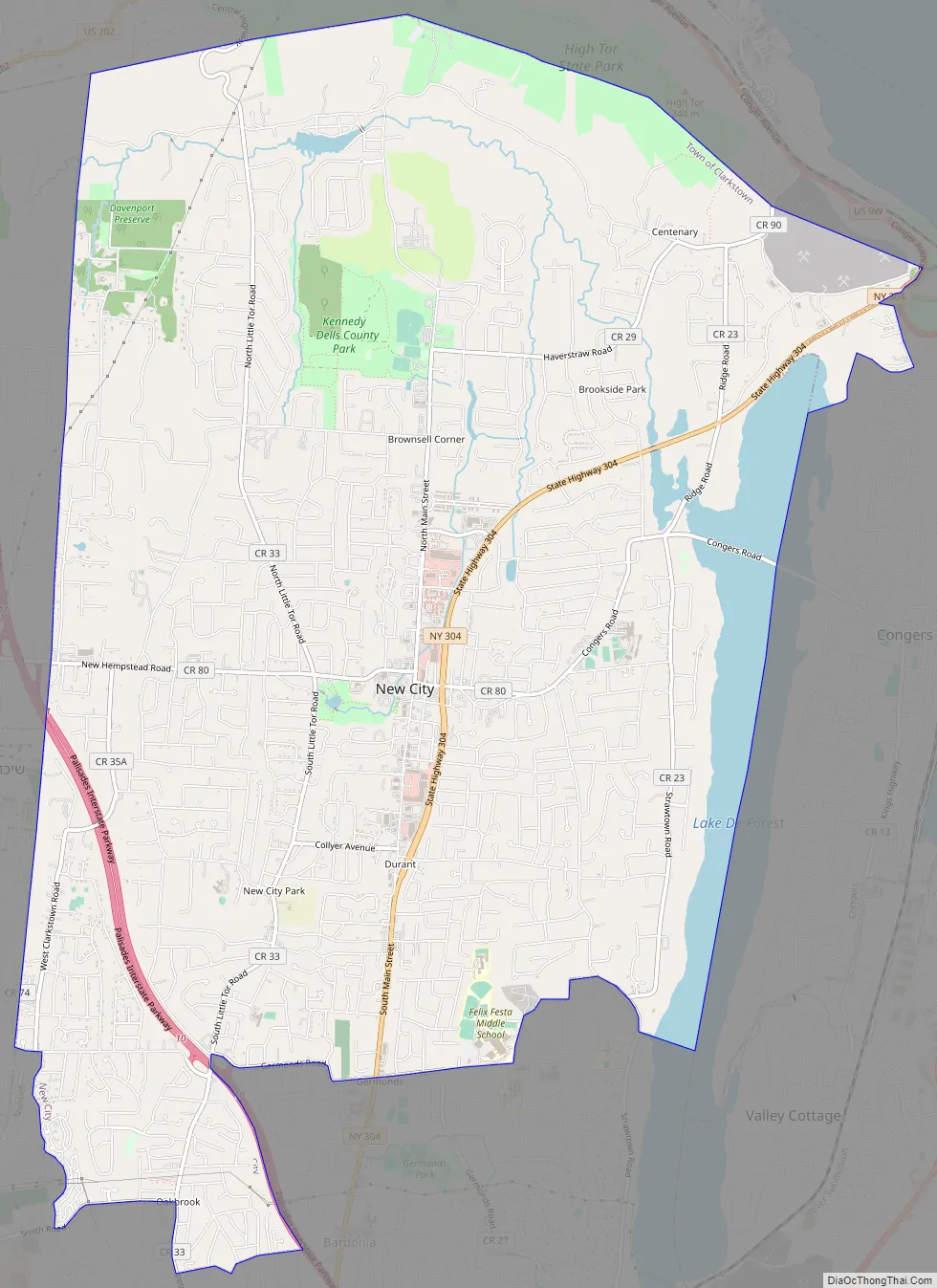
New City is a hamlet and census-designated place in the town of Clarkstown, Rockland County, New York, United States, part of the New York Metropolitan Area. An affluent suburb of New York City, the hamlet is located 18 miles (29 km) north of the city at its closest point, Riverdale, Bronx. Within Rockland County, New City is located north of Bardonia, northeast of Nanuet, east of New Square and New Hempstead, south of Garnerville and the village of Haverstraw, and west of Congers (across Lake DeForest). New City’s population was 35,101 at the 2020 census, making it the 14th most populous CDP/hamlet in the state of New York.
New City is the county seat, and most populous community of Rockland County and the location of the Clarkstown Police Department, sheriff’s office and corrections facility. The downtown area is one of the main business districts in the county. The ZIP code of New City is 10956.
| Name: | New City CDP |
|---|---|
| LSAD Code: | 57 |
| LSAD Description: | CDP (suffix) |
| State: | New York |
| County: | Rockland County |
| Elevation: | 157 ft (48 m) |
| Total Area: | 16.25 sq mi (42.10 km²) |
| Land Area: | 15.46 sq mi (40.05 km²) |
| Water Area: | 0.79 sq mi (2.05 km²) |
| Total Population: | 34,135 |
| Population Density: | 2,207.67/sq mi (852.38/km²) |
| ZIP code: | 10956 |
| Area code: | 845 |
| FIPS code: | 3650100 |
| GNISfeature ID: | 0958400 |
Online Interactive Map
Click on ![]() to view map in "full screen" mode.
to view map in "full screen" mode.
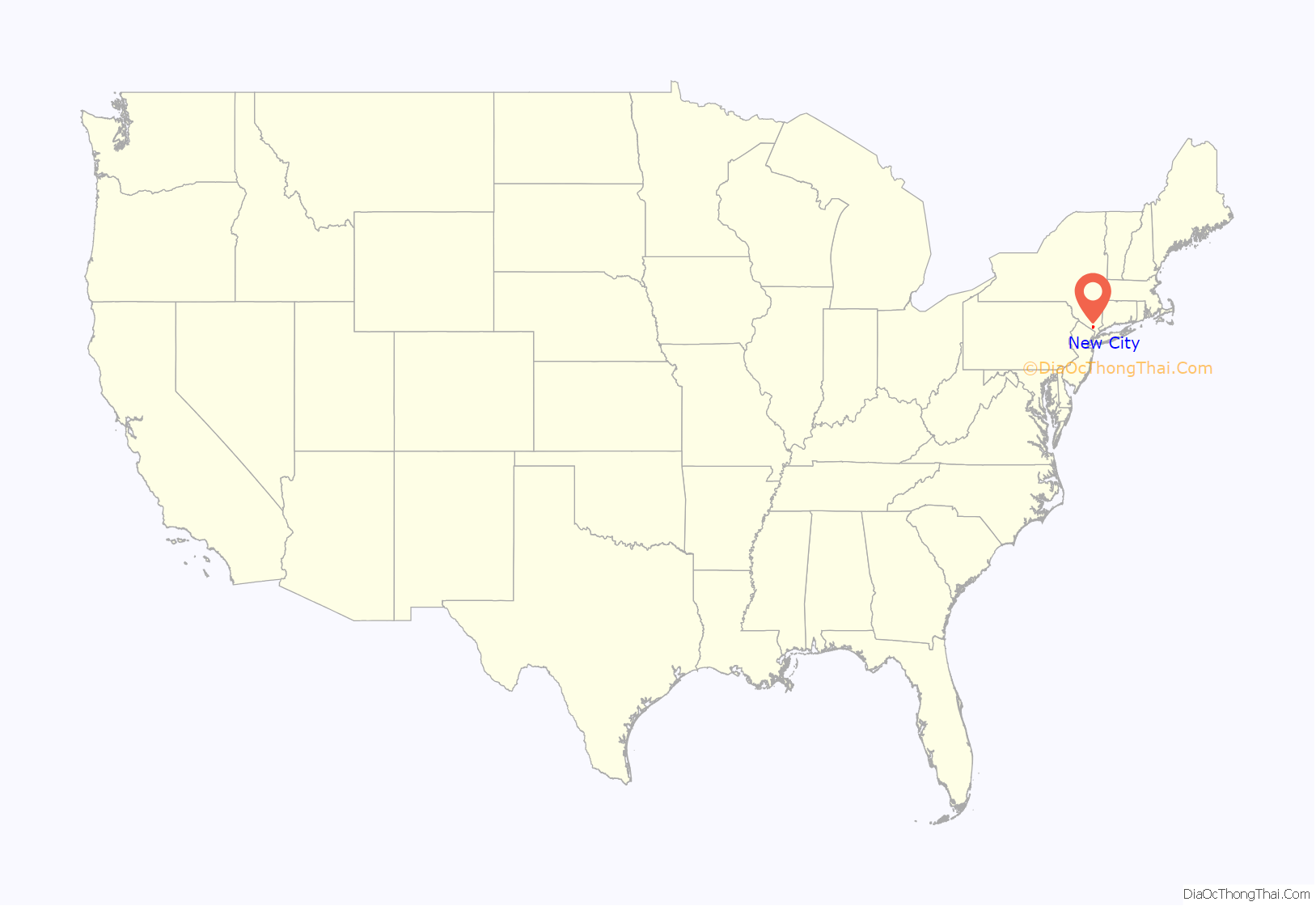
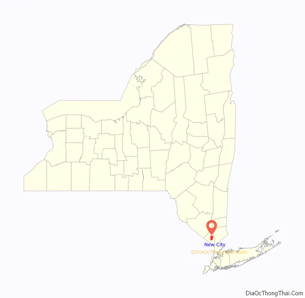
New City location map. Where is New City CDP?
History
Before the Revolutionary War, the land that would later become known as New City was inhabited mostly by Lenni Lenape American Indians. The Dutch were the first Europeans to settle in the area. Orange County was established in 1683 as one of the first 12 counties in Province of New York, which included present day Rockland County. In 1780, Major John André and Josh Hett Smith stopped at Coe’s Tavern, located on what is now the corner of New Hempstead Road and Route 45.
New City was formed in 1798, when Rockland County was incorporated as a separate county from the south-easternmost portion of Orange County. With the formation of a new county, there were needs for a new county seat. The central location of New City was a convenient location for a county seat, since travel in 1798 was difficult, and the existing main towns in the county were not centrally located. At the time, the Squadron Cavalry of New York City had a summer encampment of what is now the busy streets of Squadron Boulevard and Cavalry Drive, hence how these streets were named. The community got its name because the founding fathers envisioned a “new” city when forming the new county seat.
Other than county and town government, the early downtown area consisted mainly of small retail shops in what was mainly an agricultural area. There was also a county fairgrounds and racetrack located on the Route 304 and Congers Road intersection.
In 1918, Paramount Pictures founder Adolph Zukor moved to New City where he bought 300 acres of land from Lawrence Abraham which already had a large house, a swimming pool, and a 9-hole golf course on the property. Two years later, in 1920, Zukor bought 500 more acres from Abraham and built multiple additions including a night house, guest house, greenhouses, garages, and more. He also hired A.W. Tillinghast to build an 18-hole championship golf course on the property. The land is now currently known as Paramount Country Club. Zukor Park, located just south of the country club, is also named after the producer. Zukor’s property attracted a large number of artistic people to the area; including Maxwell Anderson, Henry Varnum Poor, Norman Lloyd, Kurt Weill, Martha MacGuffie, Lotte Lenya, John Houseman and more who all lived on South Mountain Road and formed an artist colony there.
Dutch Gardens, the oldest remaining park in the county, was built in 1934 by Italian artisans, known for its unique patterned brickwork. It was designed by West Nyack native Mary Mowbray-Clark. It was honored as the 1934 Garden of the Year by Better Homes and Gardens Magazine. It was listed on the National Register of Historic Places in 1991. Located just south of the courthouse in the downtown area, it is still one of the most commonly visited parks in Rockland County today.
New City remained rural in character until the 1950s, when the idea of post-World War II suburbia, as well as the opening of the Tappan Zee Bridge and Palisades Interstate Parkway, made traveling between New York City and Rockland County faster, and easier. Many former New York City residents migrated to Rockland, which transformed New City from a quiet rural community to a busy populated suburb of New York City. Along with residential development, business development increased rapidly as well. The downtown area became home to many banks, retail, and real-estate companies; as well as restaurants, shops, a movie theater, bars, and many other forms of entertainment. Certain parts of the town, such as South Mountain Road and Lake Lucille, have been preserved, and remain quiet, wooded, historic old-wealth neighborhoods.
New City Road Map
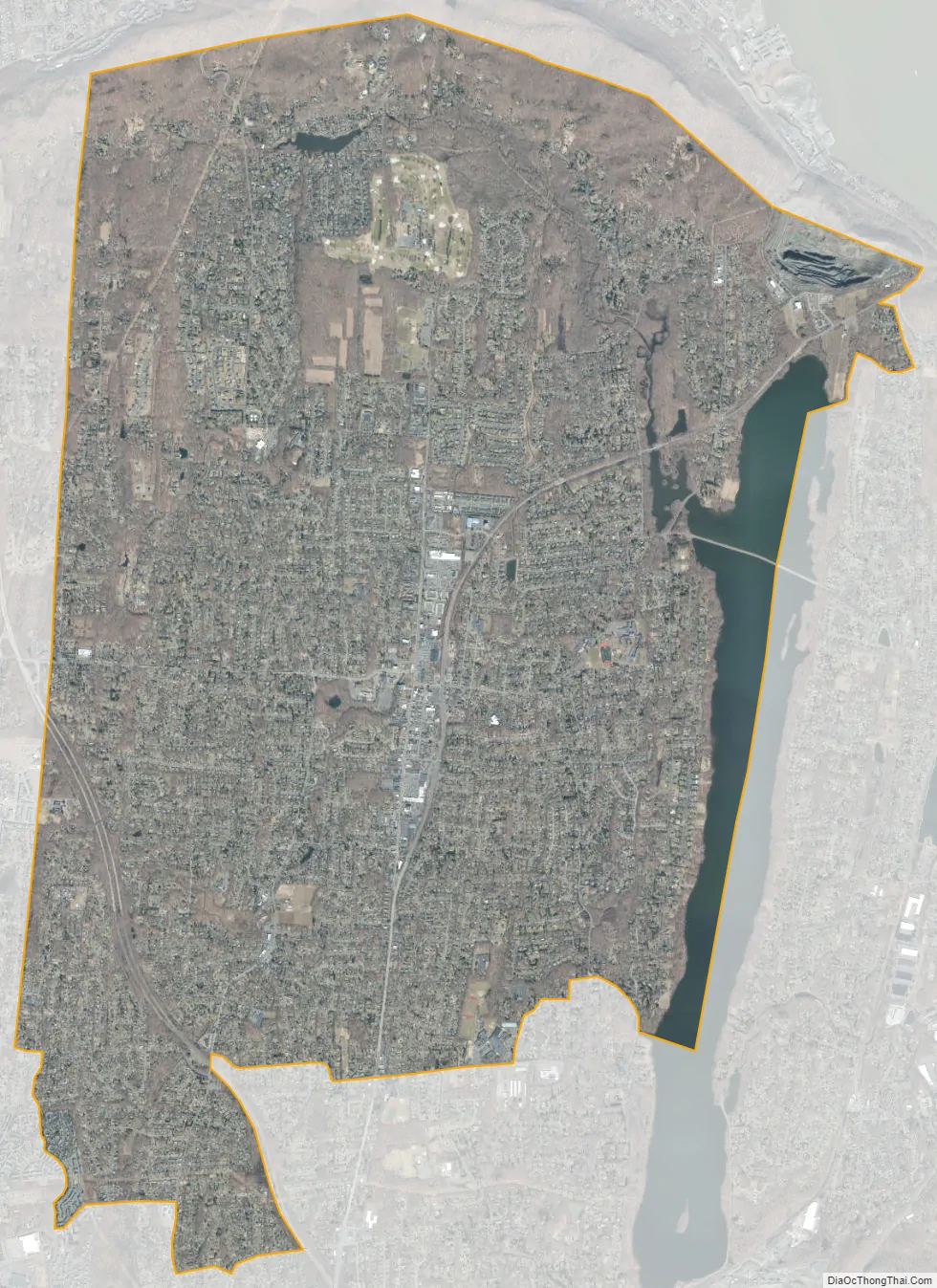
New City city Satellite Map
Geography
New City is located at 41°8′44″N 73°59′42″W / 41.14556°N 73.99500°W / 41.14556; -73.99500 (41.145495, −73.994901).
New City is accessible from major Rockland arteries providing rapid access to Bergen County, New Jersey, Westchester County, Manhattan, and the Bronx in New York City.
See also
Map of New York State and its subdivision:- Albany
- Allegany
- Bronx
- Broome
- Cattaraugus
- Cayuga
- Chautauqua
- Chemung
- Chenango
- Clinton
- Columbia
- Cortland
- Delaware
- Dutchess
- Erie
- Essex
- Franklin
- Fulton
- Genesee
- Greene
- Hamilton
- Herkimer
- Jefferson
- Kings
- Lake Ontario
- Lewis
- Livingston
- Madison
- Monroe
- Montgomery
- Nassau
- New York
- Niagara
- Oneida
- Onondaga
- Ontario
- Orange
- Orleans
- Oswego
- Otsego
- Putnam
- Queens
- Rensselaer
- Richmond
- Rockland
- Saint Lawrence
- Saratoga
- Schenectady
- Schoharie
- Schuyler
- Seneca
- Steuben
- Suffolk
- Sullivan
- Tioga
- Tompkins
- Ulster
- Warren
- Washington
- Wayne
- Westchester
- Wyoming
- Yates
- Alabama
- Alaska
- Arizona
- Arkansas
- California
- Colorado
- Connecticut
- Delaware
- District of Columbia
- Florida
- Georgia
- Hawaii
- Idaho
- Illinois
- Indiana
- Iowa
- Kansas
- Kentucky
- Louisiana
- Maine
- Maryland
- Massachusetts
- Michigan
- Minnesota
- Mississippi
- Missouri
- Montana
- Nebraska
- Nevada
- New Hampshire
- New Jersey
- New Mexico
- New York
- North Carolina
- North Dakota
- Ohio
- Oklahoma
- Oregon
- Pennsylvania
- Rhode Island
- South Carolina
- South Dakota
- Tennessee
- Texas
- Utah
- Vermont
- Virginia
- Washington
- West Virginia
- Wisconsin
- Wyoming


