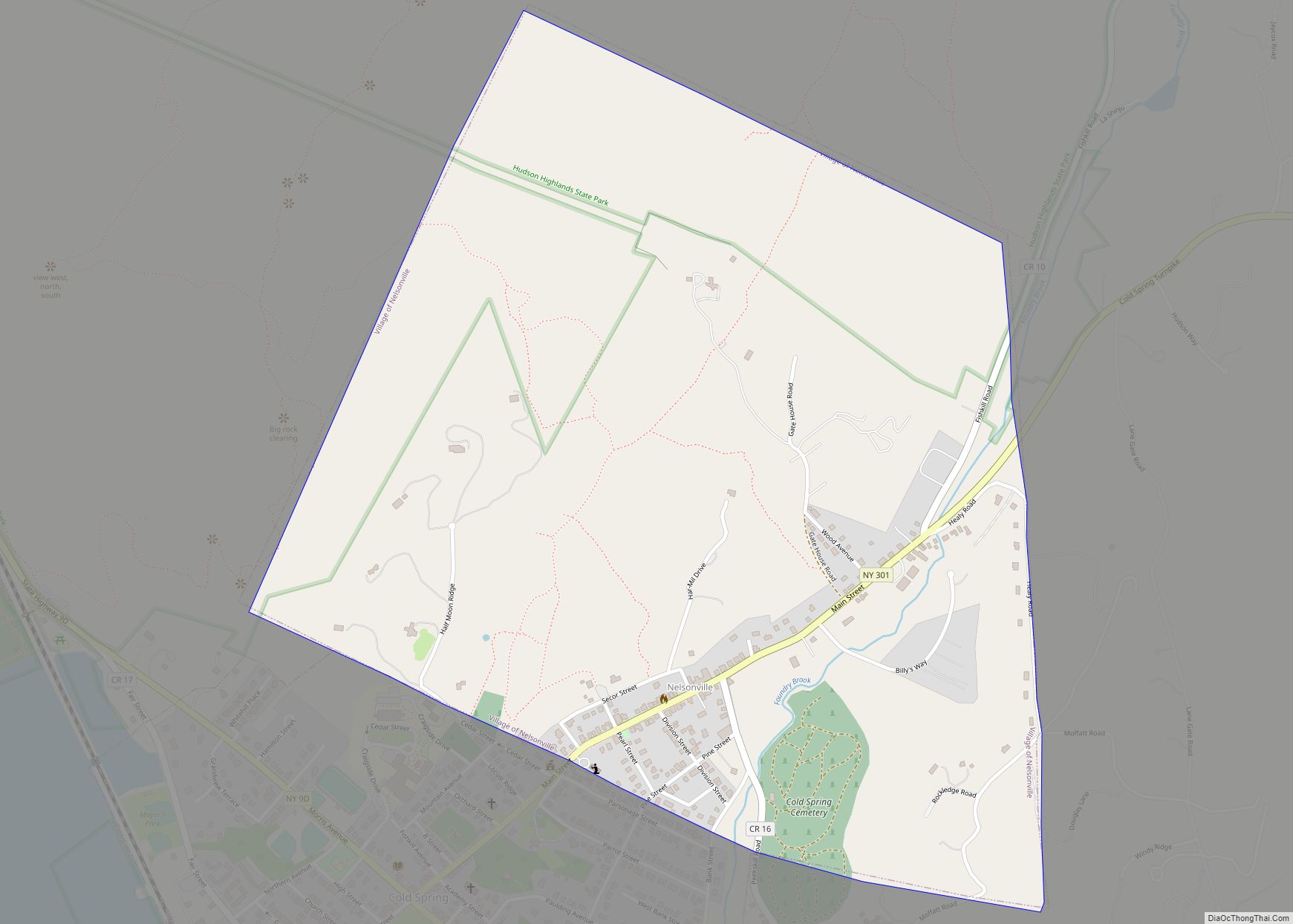
Nelsonville is a village located in the town of Philipstown in Putnam County, New York, United States. The population was 628 at the time of the 2010 census.
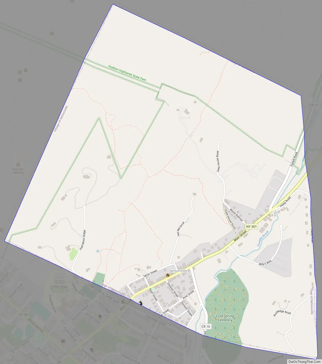
Nelsonville Lies in the Hudson Highlands directly east of the village of Cold Spring. On Main Street, the border is roughly demarcated by the western property line of the Baptist Church at the height of land, and by the property line along the rear of the church lot, extending south toward the Cold Spring Cemetery.
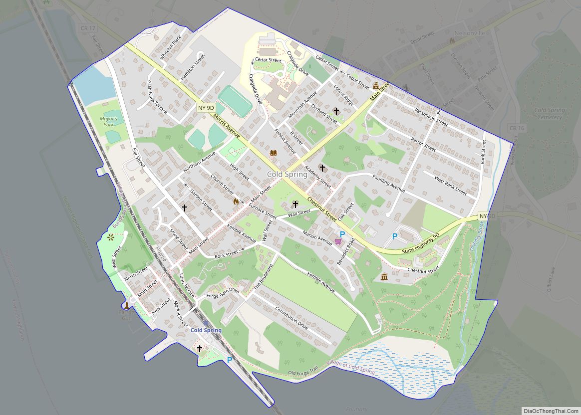
Along with its neighbor, Cold Spring, the village is known for being a small, picturesque enclave with a historic housing stock. It is a popular weekend and fall foliage destination for New York City residents, and the origin of several well-known hiking trails that traverse the Hudson Highlands. The village is served by the Cold Spring Metro-North commuter railroad stop on the Hudson Line.
| Name: | Nelsonville village |
|---|---|
| LSAD Code: | 47 |
| LSAD Description: | village (suffix) |
| State: | New York |
| County: | Putnam County |
| Elevation: | 187 ft (57 m) |
| Total Area: | 1.03 sq mi (2.68 km²) |
| Land Area: | 1.03 sq mi (2.68 km²) |
| Water Area: | 0.00 sq mi (0.00 km²) |
| Total Population: | 624 |
| Population Density: | 603.48/sq mi (233.04/km²) |
| ZIP code: | 10516 |
| Area code: | 845 |
| FIPS code: | 3649781 |
| GNISfeature ID: | 0970401 |
| Website: | villageofnelsonville.org |
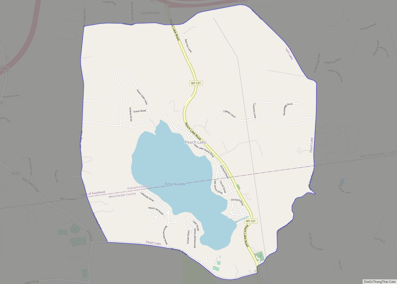
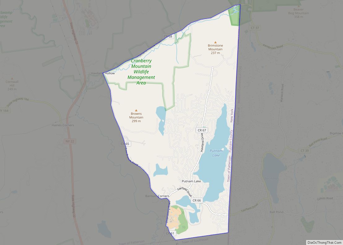
Online Interactive Map
Click on ![]() to view map in "full screen" mode.
to view map in "full screen" mode.
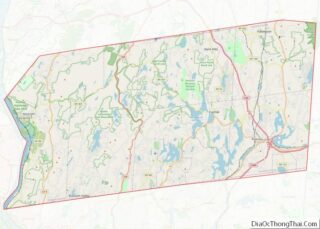
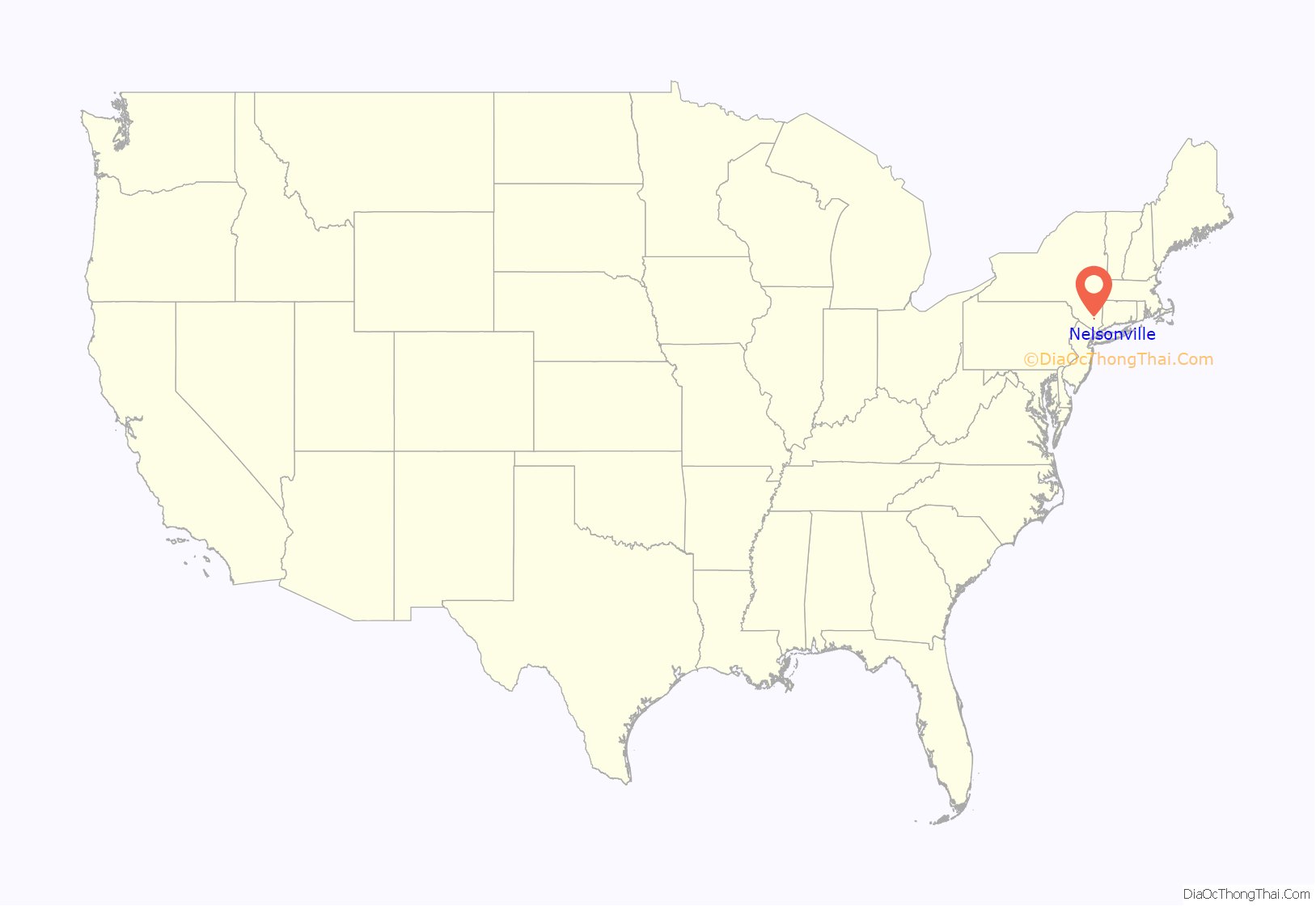
Nelsonville location map. Where is Nelsonville village?
History
Nelsonville is named after the Nelson family, early residents in the area. The West Point Foundry Association’s operations supported many of the residents of the settlement, directly or indirectly. It was incorporated as a village in 1855. The post office opened in 1888.
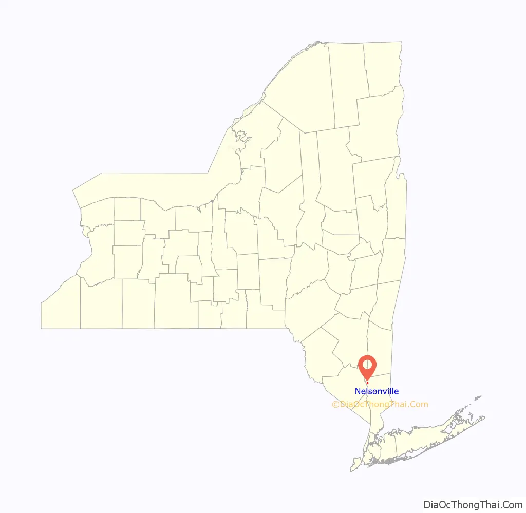
Nelsonville Road Map
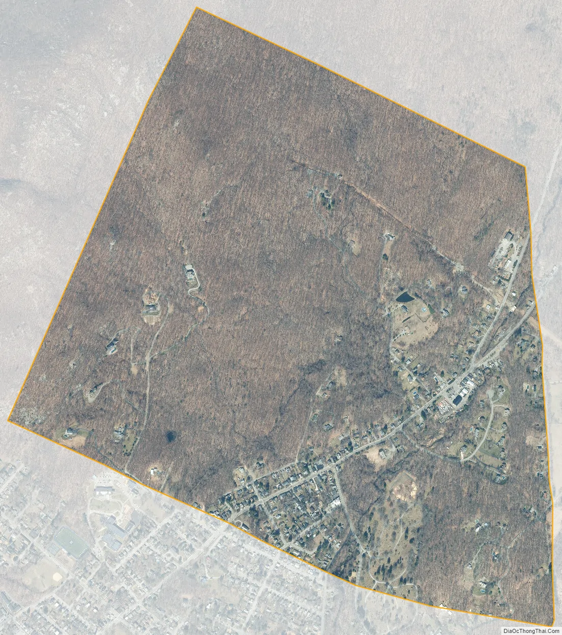
Nelsonville city Satellite Map
Geography
Nelsonville is located at 41°25′28″N 73°56′39″W / 41.42444°N 73.94417°W / 41.42444; -73.94417 (41.424550, −73.944170).
According to the United States Census Bureau, the village has a total area of 1.0 square mile (2.6 km), all land.
Immediately to the north of Nelsonville is the tourist hot spot, Mount Taurus, known to residents of Nelsonville as Bull Hill.
See also
Map of New York State and its subdivision:- Albany
- Allegany
- Bronx
- Broome
- Cattaraugus
- Cayuga
- Chautauqua
- Chemung
- Chenango
- Clinton
- Columbia
- Cortland
- Delaware
- Dutchess
- Erie
- Essex
- Franklin
- Fulton
- Genesee
- Greene
- Hamilton
- Herkimer
- Jefferson
- Kings
- Lake Ontario
- Lewis
- Livingston
- Madison
- Monroe
- Montgomery
- Nassau
- New York
- Niagara
- Oneida
- Onondaga
- Ontario
- Orange
- Orleans
- Oswego
- Otsego
- Putnam
- Queens
- Rensselaer
- Richmond
- Rockland
- Saint Lawrence
- Saratoga
- Schenectady
- Schoharie
- Schuyler
- Seneca
- Steuben
- Suffolk
- Sullivan
- Tioga
- Tompkins
- Ulster
- Warren
- Washington
- Wayne
- Westchester
- Wyoming
- Yates
- Alabama
- Alaska
- Arizona
- Arkansas
- California
- Colorado
- Connecticut
- Delaware
- District of Columbia
- Florida
- Georgia
- Hawaii
- Idaho
- Illinois
- Indiana
- Iowa
- Kansas
- Kentucky
- Louisiana
- Maine
- Maryland
- Massachusetts
- Michigan
- Minnesota
- Mississippi
- Missouri
- Montana
- Nebraska
- Nevada
- New Hampshire
- New Jersey
- New Mexico
- New York
- North Carolina
- North Dakota
- Ohio
- Oklahoma
- Oregon
- Pennsylvania
- Rhode Island
- South Carolina
- South Dakota
- Tennessee
- Texas
- Utah
- Vermont
- Virginia
- Washington
- West Virginia
- Wisconsin
- Wyoming