New Paltz is a village in Ulster County located in the U.S. state of New York. It is approximately 80 miles (130 km) north of New York City and 70 miles (110 km) south of Albany. The population was 7,324 at the 2020 census.
New Paltz is located within the town of New Paltz. It is also home to the State University of New York at New Paltz, founded in 1828. The town is served by exit 18 on the New York State Thruway (I-87), as well as state routes 299, 32, and 208, and is about 90 minutes from both New York City and Albany.
| Name: | New Paltz village |
|---|---|
| LSAD Code: | 47 |
| LSAD Description: | village (suffix) |
| State: | New York |
| County: | Ulster County |
| Founded: | 1887 |
| Total Area: | 1.80 sq mi (4.66 km²) |
| Land Area: | 1.76 sq mi (4.56 km²) |
| Water Area: | 0.04 sq mi (0.10 km²) |
| Total Population: | 7,324 |
| Population Density: | 4,156.64/sq mi (1,605.12/km²) |
| Area code: | 845 |
| FIPS code: | 3650551 |
| GNISfeature ID: | 0958443 |
Online Interactive Map
Click on ![]() to view map in "full screen" mode.
to view map in "full screen" mode.
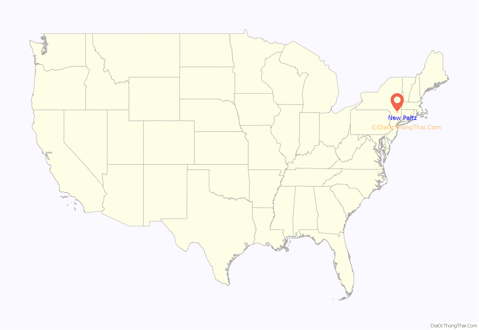
New Paltz location map. Where is New Paltz village?

History
The Elting Memorial Library, Guilford-Bower Farm House, Jean Hasbrouck House, Major Jacob Hasbrouck Jr. House, Huguenot Street Historic District, Lake Mohonk Mountain House Complex, New Paltz Downtown Historic District, and The Locusts are listed on the National Register of Historic Places.
Early development
New Paltz was founded in 1678 by French Huguenots settlers, including Louis DuBois, who had taken refuge in Mannheim, Germany, for a brief period of time, being married there in 1655, before emigrating to the Dutch colony of New Netherland in 1660 with his family. Mannheim was a major town of the Palatinate (in German, the Pfalz), at the time a center of Protestantism. The settlers lived in Wiltwyck (present day Kingston, New York) and in 1677 purchased a patent for the land surrounding present day New Paltz from a Lenape tribe known as the Esopus.
The people of Mannheim use a dialect form of the name Pfalz without the “f”, pronouncing it “Paltz.” Records of the New Paltz Reformed Church, which was formed in 1683, show the name of the settlement was first expressed not in German, nor in English, but in French: Nouveau Palatinat. The community was governed by a kind of corporation called the Duzine, referring to the twelve partners who acquired the royal patent. That form of government continued well past the time of the American Revolution, by special action of the New York State legislature.
The 40,000 acres (16,000 ha) or so of the patent, stretching to the Hudson River and augmented soon by the other patents on the south, were eventually divided among those twelve partners, their relatives, and a few friends into large plots – part wilderness and part farm. The farms were grouped principally around the heights west and east of the Wallkill River. The commercial center serving the agricultural base was located on the east shore of the Wallkill River, in the area where the first settlers had built their shelters. The street is now known as Huguenot Street.
There, the church, schools, blacksmith, seamstresses, and stores flourished for the benefit of farmers who required goods such as seed, tools, clothing, and food not available on all farms, including alcoholic beverages. The church, which was also used as a school, was located here. Many of the buildings still stand today, as a living museum community.
Population slowly spread from the Wallkill up along the street now known as North Front Street and then along what is now Chestnut Street. In the nineteenth century, development continued along what is now Main Street. The secession of the town of Lloyd and parts of Shawangunk, Esopus, and Gardiner, between 1843 and 1853, reduced New Paltz to its present size. In 1887, the village of New Paltz was incorporated within the eponymous town.
Higher education has been one of the main concerns of the community since the 1830s, with facilities on Huguenot and North Front streets. Late in the nineteenth century, the college was built in the area of Plattekill Avenue and Manheim Boulevard, where the State University of New York at New Paltz now stands.
The Wallkill Valley Railroad reached New Paltz by 1870, and provided passenger service through the town until 1937. After the rail line’s closure in 1977, the section of the corridor running through New Paltz was converted to the Wallkill Valley Rail Trail, and the former train station in New Paltz was renovated as a restaurant, The Station. Many different types of restaurants are located in New Paltz, including several that have earned high ratings from both local and national critics, making it a destination for those seeking a variety of good food.
New Paltz Road Map

New Paltz city Satellite Map

Geography
According to the United States Census Bureau, the village has a total area of 1.8 square miles (4.7 km), of which 1.7 square miles (4.4 km) is land and 0.04 square miles (0.10 km) (1.70%) is water.
The Wallkill River runs north along the western border of New Paltz, flowing into the Rondout Creek and eventually the Hudson River.
See also
Map of New York State and its subdivision:- Albany
- Allegany
- Bronx
- Broome
- Cattaraugus
- Cayuga
- Chautauqua
- Chemung
- Chenango
- Clinton
- Columbia
- Cortland
- Delaware
- Dutchess
- Erie
- Essex
- Franklin
- Fulton
- Genesee
- Greene
- Hamilton
- Herkimer
- Jefferson
- Kings
- Lake Ontario
- Lewis
- Livingston
- Madison
- Monroe
- Montgomery
- Nassau
- New York
- Niagara
- Oneida
- Onondaga
- Ontario
- Orange
- Orleans
- Oswego
- Otsego
- Putnam
- Queens
- Rensselaer
- Richmond
- Rockland
- Saint Lawrence
- Saratoga
- Schenectady
- Schoharie
- Schuyler
- Seneca
- Steuben
- Suffolk
- Sullivan
- Tioga
- Tompkins
- Ulster
- Warren
- Washington
- Wayne
- Westchester
- Wyoming
- Yates
- Alabama
- Alaska
- Arizona
- Arkansas
- California
- Colorado
- Connecticut
- Delaware
- District of Columbia
- Florida
- Georgia
- Hawaii
- Idaho
- Illinois
- Indiana
- Iowa
- Kansas
- Kentucky
- Louisiana
- Maine
- Maryland
- Massachusetts
- Michigan
- Minnesota
- Mississippi
- Missouri
- Montana
- Nebraska
- Nevada
- New Hampshire
- New Jersey
- New Mexico
- New York
- North Carolina
- North Dakota
- Ohio
- Oklahoma
- Oregon
- Pennsylvania
- Rhode Island
- South Carolina
- South Dakota
- Tennessee
- Texas
- Utah
- Vermont
- Virginia
- Washington
- West Virginia
- Wisconsin
- Wyoming


