New Square (Yiddish: שיכון סקווירא, romanized: Shikun Skvir) is an all-Hasidic village in the town of Ramapo, Rockland County, New York, United States. It is located north of Hillcrest, east of Viola, south of New Hempstead, and west of New City. As of the 2020 United States census, it had a population of 9,679. Its inhabitants are predominantly members of the Skverer Hasidic movement who seek to maintain a Hasidic lifestyle disconnected from the secular world. It is the poorest town (measured by median income) in New York, and the eighth poorest in the United States. It also has the highest poverty rate, at 64.4%.
| Name: | New Square village |
|---|---|
| LSAD Code: | 47 |
| LSAD Description: | village (suffix) |
| State: | New York |
| County: | Rockland County |
| Incorporated: | November 6, 1961 |
| Elevation: | 492 ft (150 m) |
| Total Area: | 0.37 sq mi (0.95 km²) |
| Land Area: | 0.37 sq mi (0.95 km²) |
| Water Area: | 0.00 sq mi (0.00 km²) |
| Total Population: | 9,679 |
| Population Density: | 26,373.30/sq mi (10,192.07/km²) |
| ZIP code: | 10977 |
| Area code: | 845 |
| FIPS code: | 3650705 |
| GNISfeature ID: | 0971939 |
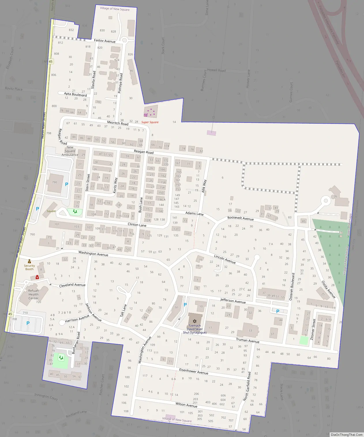
Online Interactive Map
Click on ![]() to view map in "full screen" mode.
to view map in "full screen" mode.
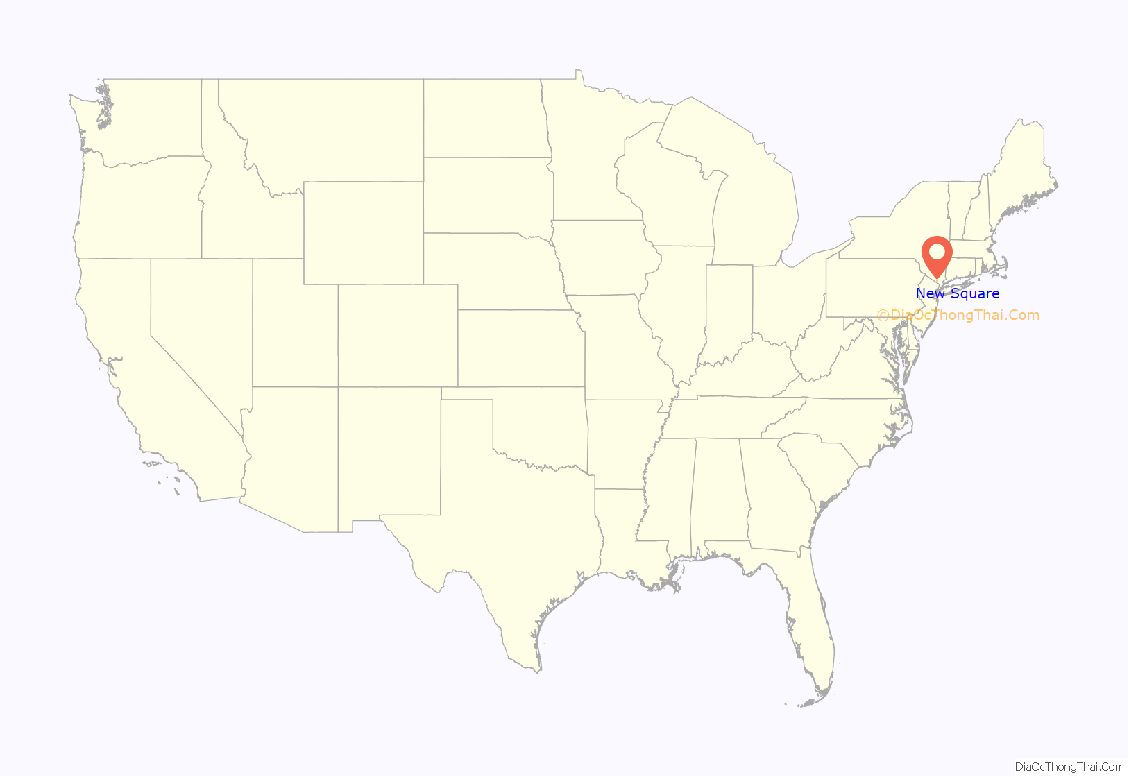
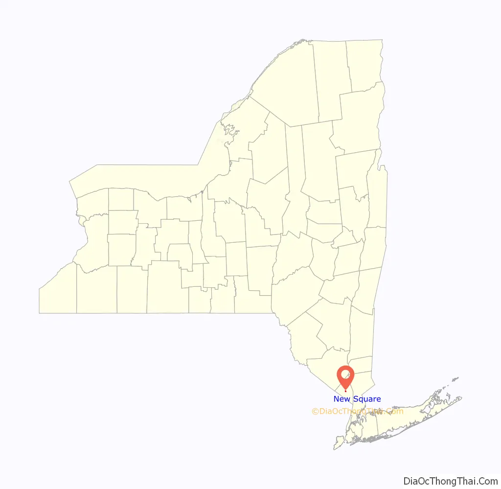
New Square location map. Where is New Square village?
History
New Square is named after the Ukrainian town Skvyra, where the Skverer Hasidic group originated. The founders intended to name the settlement New Skver, but a typist’s error anglicized the name. New Square was established in 1954, when the Zemach David Corporation, representing Skverer Grand Rabbi Yakov Yosef Twersky, purchased a 130-acre (0.53 km) dairy farm near Spring Valley, New York, in the town of Ramapo. At that time, most Skverer members lived in the Williamsburg section of Brooklyn. New Square’s founders had felt that the Hasidic community in Williamsburg was being “threatened by assimilation”, as The New York Times later described it. Construction began in 1956, and the first four families moved to New Square in December 1956. In 1958, the settlement had 68 houses.
The development of New Square was obstructed by Ramapo’s zoning regulations, which forbade the construction of multi-family houses and the use of basements for shops and stores. Multiple families sharing single-family houses said that they belonged to extended families, and businesses in private homes had to be secret. In 1959, the community asked for a building permit to expand its synagogue, located in the basement of a Cape Cod-style house. The Ramapo town attorney requested condemnation of the entire New Square community, claiming that it threatened sewage lines. In response, the community requested incorporation as a village, but Ramapo town officials refused to allow it. In 1961, a New York state court ruled in favor of New Square, and the village was incorporated in July of that year.
After incorporating, New Square set its own zoning and building codes, legalizing the existing houses, and the liens disappeared. Lots were sold, and new houses were built. The basement businesses could trade openly, and new businesses were founded, including a watch assembly plant and a cap manufacturer. Three knitting mills and a used car lot opened, but most men continued to go to work in New York City. A Kollel was opened in 1963. In 1968, Grand Rabbi Yakov Yosef Twersky died; he was succeeded as Grand Rabbi by his son David Twersky.
In New Square’s first mayoral election in 1961, Mates Friesel was chosen unopposed. Friesel was re-elected every two years until his death in 2015, thereby becoming one of the longest-serving mayors in the United States.
New Square Road Map
New Square city Satellite Map

Geography
New Square is located at 41°8′23″N 74°1′42″W / 41.13972°N 74.02833°W / 41.13972; -74.02833 (41.139745, -74.028197).
According to the United States Census Bureau, the village has a total area of 0.4 square mile (0.9 km), all land.
See also
Map of New York State and its subdivision:- Albany
- Allegany
- Bronx
- Broome
- Cattaraugus
- Cayuga
- Chautauqua
- Chemung
- Chenango
- Clinton
- Columbia
- Cortland
- Delaware
- Dutchess
- Erie
- Essex
- Franklin
- Fulton
- Genesee
- Greene
- Hamilton
- Herkimer
- Jefferson
- Kings
- Lake Ontario
- Lewis
- Livingston
- Madison
- Monroe
- Montgomery
- Nassau
- New York
- Niagara
- Oneida
- Onondaga
- Ontario
- Orange
- Orleans
- Oswego
- Otsego
- Putnam
- Queens
- Rensselaer
- Richmond
- Rockland
- Saint Lawrence
- Saratoga
- Schenectady
- Schoharie
- Schuyler
- Seneca
- Steuben
- Suffolk
- Sullivan
- Tioga
- Tompkins
- Ulster
- Warren
- Washington
- Wayne
- Westchester
- Wyoming
- Yates
- Alabama
- Alaska
- Arizona
- Arkansas
- California
- Colorado
- Connecticut
- Delaware
- District of Columbia
- Florida
- Georgia
- Hawaii
- Idaho
- Illinois
- Indiana
- Iowa
- Kansas
- Kentucky
- Louisiana
- Maine
- Maryland
- Massachusetts
- Michigan
- Minnesota
- Mississippi
- Missouri
- Montana
- Nebraska
- Nevada
- New Hampshire
- New Jersey
- New Mexico
- New York
- North Carolina
- North Dakota
- Ohio
- Oklahoma
- Oregon
- Pennsylvania
- Rhode Island
- South Carolina
- South Dakota
- Tennessee
- Texas
- Utah
- Vermont
- Virginia
- Washington
- West Virginia
- Wisconsin
- Wyoming


