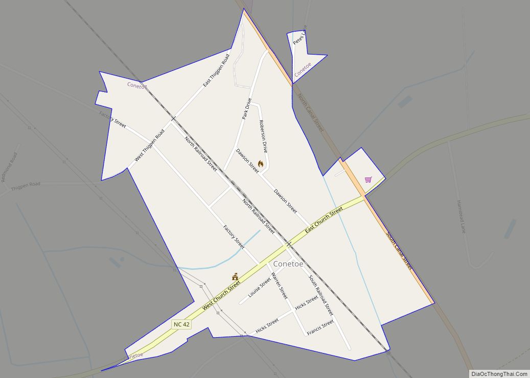
Conetoe (/kəˈniːtə/ kə-NEE-tə) is a town in Edgecombe County, North Carolina, United States. It is part of the Rocky Mount, North Carolina Metropolitan Statistical Area. The population was 294 at the 2010 census. Conetoe town overview: Name: Conetoe town LSAD Code: 43 LSAD Description: town (suffix) State: North Carolina County: Edgecombe County Incorporated: 1887 Elevation: ... Read more
North Carolina Cities and Places
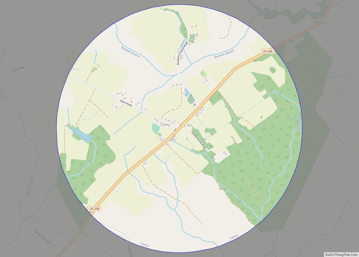
Como is a town in Hertford County, North Carolina, United States. The population was 91 at the 2010 census. Como town overview: Name: Como town LSAD Code: 43 LSAD Description: town (suffix) State: North Carolina County: Hertford County Elevation: 75 ft (23 m) Total Area: 3.15 sq mi (8.17 km²) Land Area: 3.15 sq mi (8.15 km²) Water Area: 0.01 sq mi (0.02 km²) Total Population: ... Read more
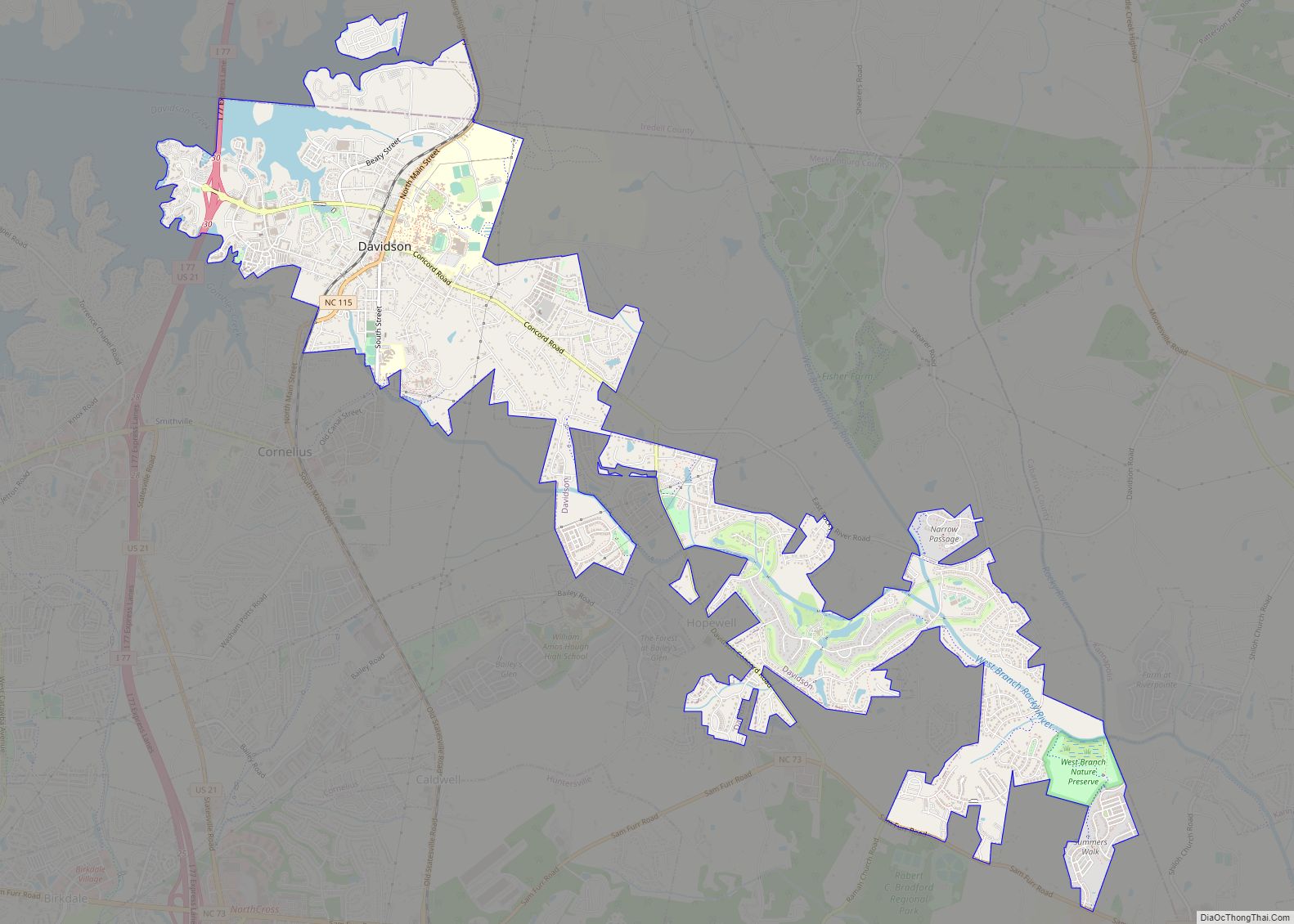
Davidson is a suburban town located in northern Mecklenburg and Iredell counties, North Carolina, United States, on the banks of Lake Norman. It is a suburb in the Charlotte metropolitan area. The population was 10,944 at the 2010 census, and in 2019 the estimated population was 13,054. The town was founded in 1837 with the ... Read more
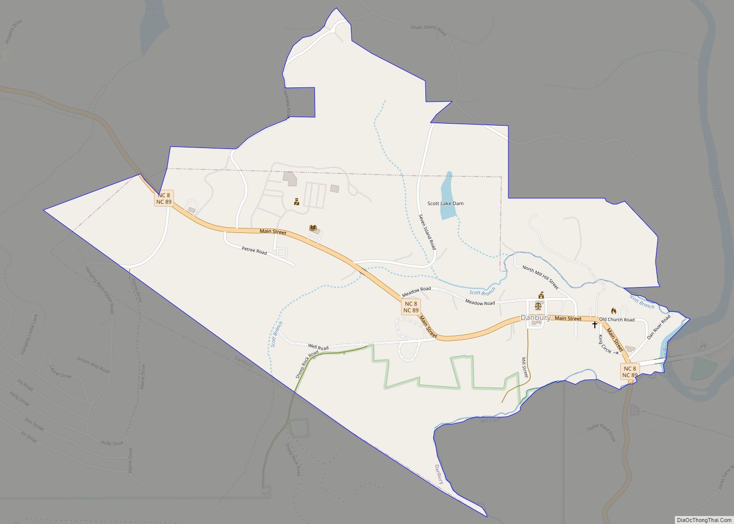
Danbury is a city located in Danbury Township, Stokes County, North Carolina. As of the 2020 census, the city had a total population of 142. It is the county seat of Stokes County. Danbury is located on NC 8/89 approximately 20 miles (32 km) north of Winston-Salem and is the “Gateway to Hanging Rock”. The Stokes ... Read more
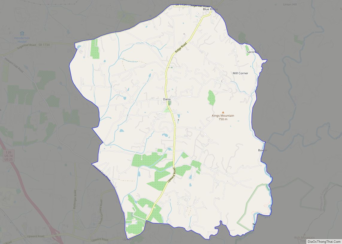
Dana is an unincorporated community and census-designated place (CDP) in Henderson County, North Carolina, United States. Its population was 3,329 as of the 2010 census. Dana CDP overview: Name: Dana CDP LSAD Code: 57 LSAD Description: CDP (suffix) State: North Carolina County: Henderson County Elevation: 2,251 ft (686 m) Total Area: 8.93 sq mi (23.12 km²) Land Area: 8.90 sq mi (23.06 km²) ... Read more
Dallas is a town in Gaston County, North Carolina, United States, and a suburb of Charlotte, located north of Gastonia. The population was 4,488 at the 2010 census. It was named for George M. Dallas, Vice President of the United States under James K. Polk. Dallas town overview: Name: Dallas town LSAD Code: 43 LSAD ... Read more
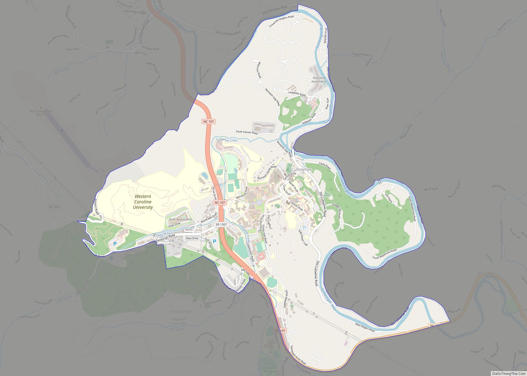
Cullowhee (/ˈkʌləhwiː/) is a census-designated place (CDP) in Jackson County, North Carolina, United States. It is located on the Tuckasegee River, and the permanent population was 7,682 at the 2020 census up from 6,228 at the 2010 census. The community is the home of Western Carolina University, part of the University of North Carolina System. ... Read more
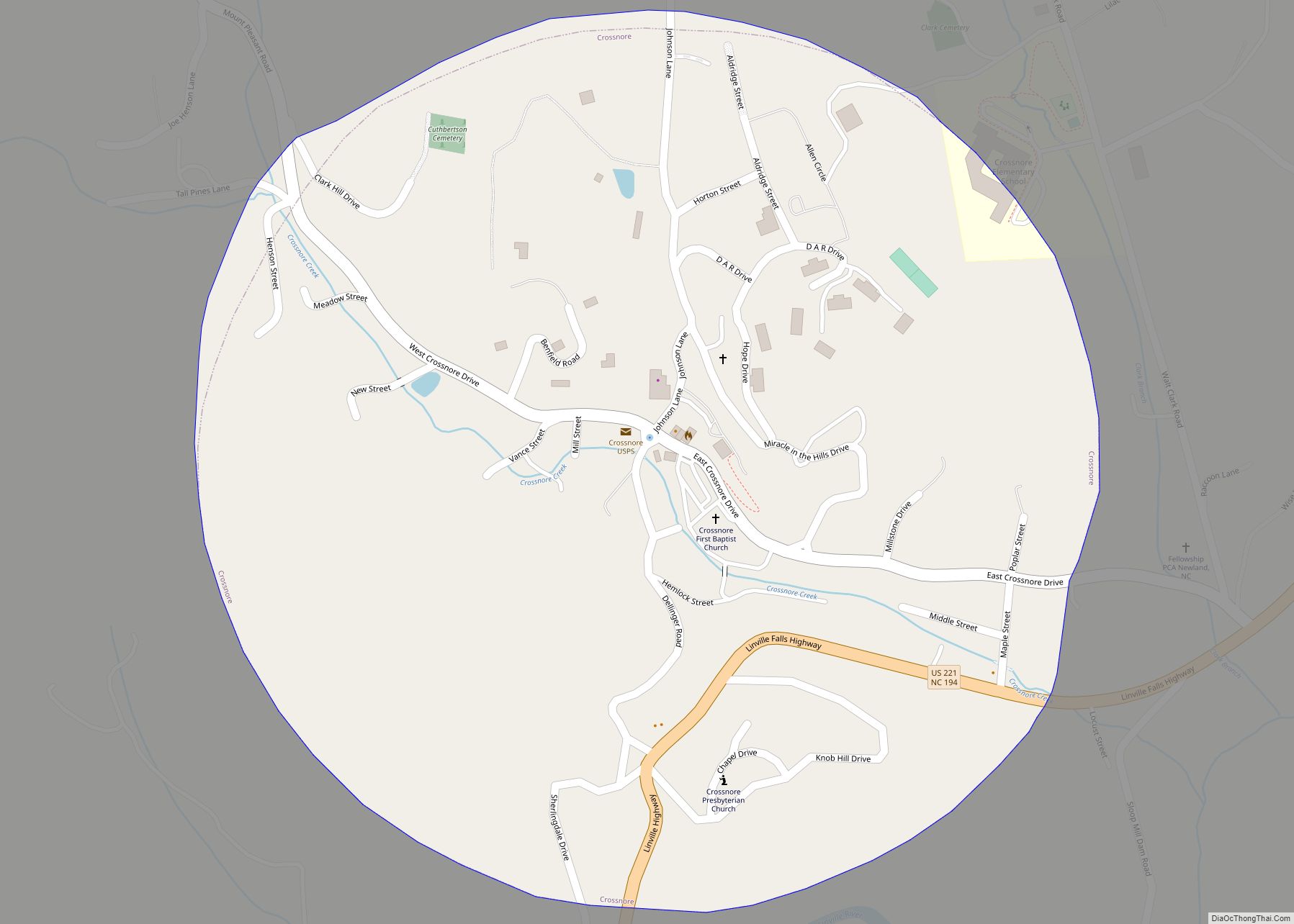
Crossnore is a town in Avery County, North Carolina, United States. The population was 192 at the 2010 census. Crossnore town overview: Name: Crossnore town LSAD Code: 43 LSAD Description: town (suffix) State: North Carolina County: Avery County Elevation: 3,369 ft (1,027 m) Total Area: 0.45 sq mi (1.16 km²) Land Area: 0.45 sq mi (1.16 km²) Water Area: 0.00 sq mi (0.00 km²) Total Population: ... Read more
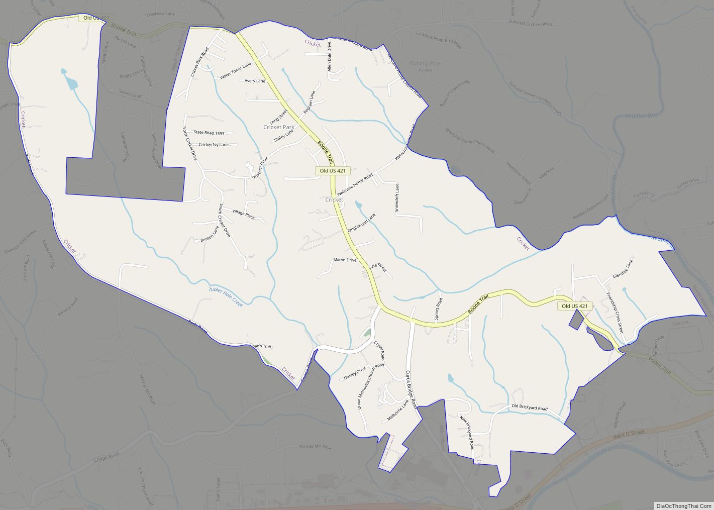
Cricket is a census-designated place (CDP) located between Wilkesboro and North Wilkesboro in Wilkes County, North Carolina, United States. The population was 2,053 at the 2000 census. Cricket CDP overview: Name: Cricket CDP LSAD Code: 57 LSAD Description: CDP (suffix) State: North Carolina County: Wilkes County Elevation: 1,280 ft (390 m) Total Area: 3.54 sq mi (9.16 km²) Land Area: ... Read more
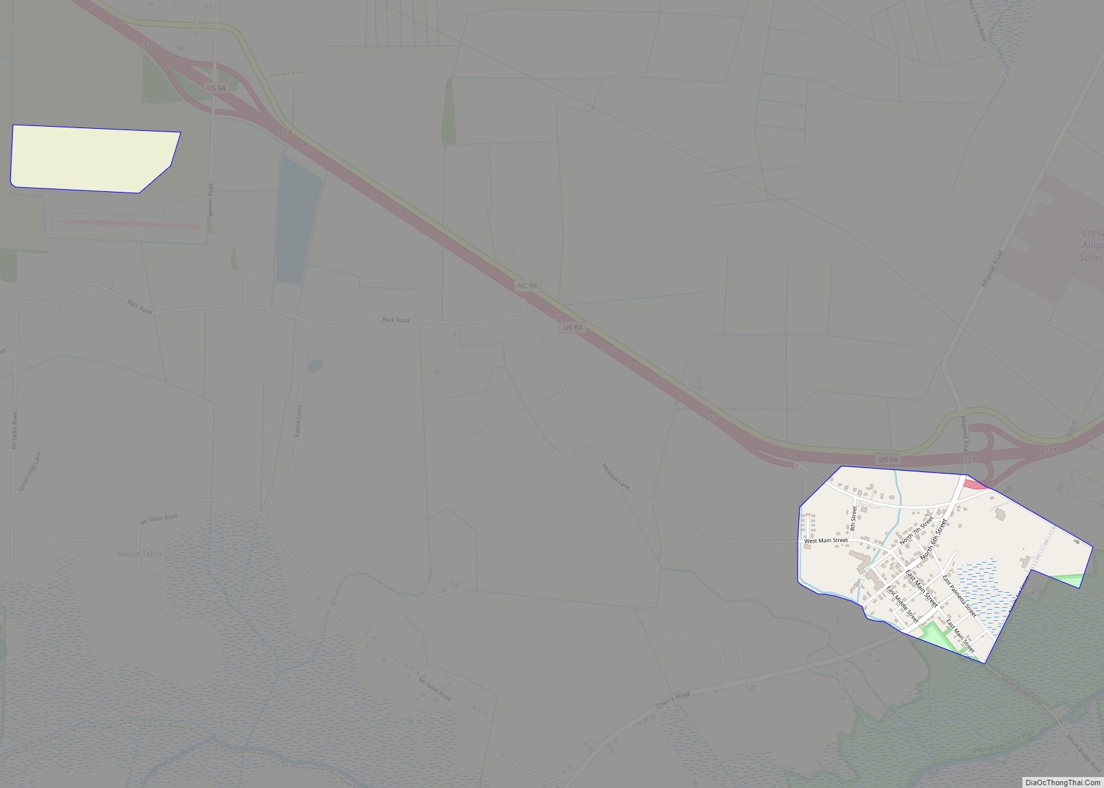
Creswell is a town in Washington County, North Carolina, United States. The population was 276 at the 2010 census. Creswell town overview: Name: Creswell town LSAD Code: 43 LSAD Description: town (suffix) State: North Carolina County: Washington County Elevation: 7 ft (2 m) Total Area: 0.57 sq mi (1.47 km²) Land Area: 0.57 sq mi (1.47 km²) Water Area: 0.00 sq mi (0.00 km²) Total Population: ... Read more
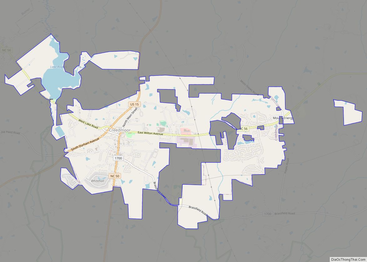
Creedmoor is a city in Granville County, North Carolina, United States. The population was 4,124 at the 2010 census. Creedmoor city overview: Name: Creedmoor city LSAD Code: 25 LSAD Description: city (suffix) State: North Carolina County: Granville County Founded: April 10, 1885 Incorporated: 1905 Elevation: 374 ft (114 m) Total Area: 5.59 sq mi (14.48 km²) Land Area: 5.35 sq mi (13.85 km²) ... Read more
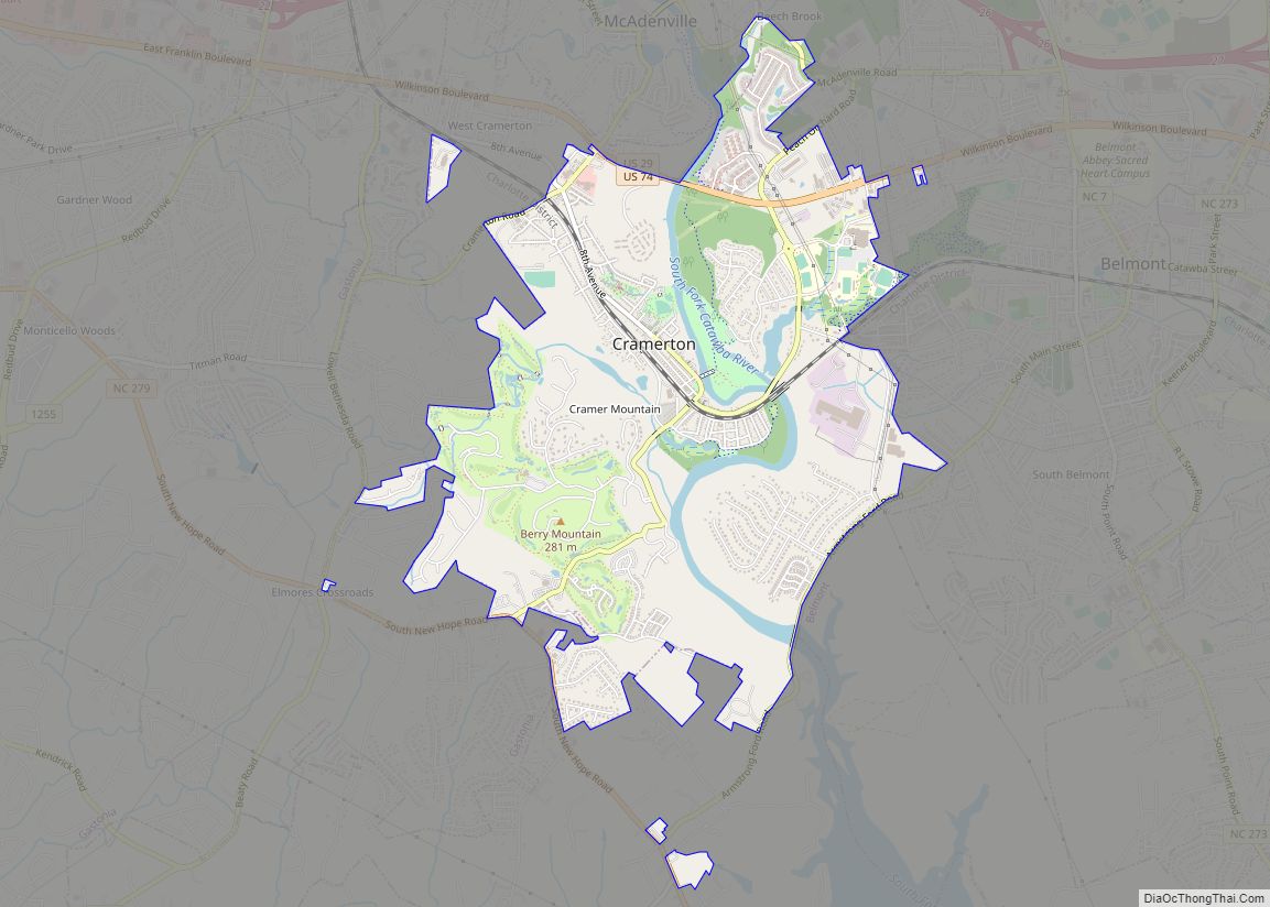
Cramerton is a small town in Gaston County, North Carolina, United States. It is a suburb of Charlotte and located east of Gastonia. The population was 4,165 at the 2010 census. A well-known feature is the Cramer Mountain gated development, featuring homes around an 18-hole golf course at Cramer Mountain Country Club. Cramerton town overview: ... Read more
