Cullowhee (/ˈkʌləhwiː/) is a census-designated place (CDP) in Jackson County, North Carolina, United States. It is located on the Tuckasegee River, and the permanent population was 7,682 at the 2020 census up from 6,228 at the 2010 census.
The community is the home of Western Carolina University, part of the University of North Carolina System. Developing from a high school and normal school, it has 12,000 students and has become a strong influence in community life. The Jackson County Airport is located just outside the CDP limits.
The present community developed at the site of a historic Cherokee town, which was centered around the earthwork Cullowhee Mound. The name was long thought to mean “Valley of the Lilies.” In fact, it is derived from the Cherokee phrase joolth-cullah-wee, which translates as “Judacullah’s Place.” Judacullah, a giant warrior and hunter who the Cherokee believe lived in the area, is an important figure in their religion and culture.
| Name: | Cullowhee CDP |
|---|---|
| LSAD Code: | 57 |
| LSAD Description: | CDP (suffix) |
| State: | North Carolina |
| County: | Jackson County |
| Elevation: | 2,116 ft (645 m) |
| Total Area: | 3.81 sq mi (9.86 km²) |
| Land Area: | 3.81 sq mi (9.86 km²) |
| Water Area: | 0.00 sq mi (0.00 km²) |
| Total Population: | 7,682 |
| Population Density: | 2,017.33/sq mi (778.91/km²) |
| ZIP code: | 28723 |
| Area code: | 828 |
| FIPS code: | 3715880 |
| GNISfeature ID: | 1019881 |
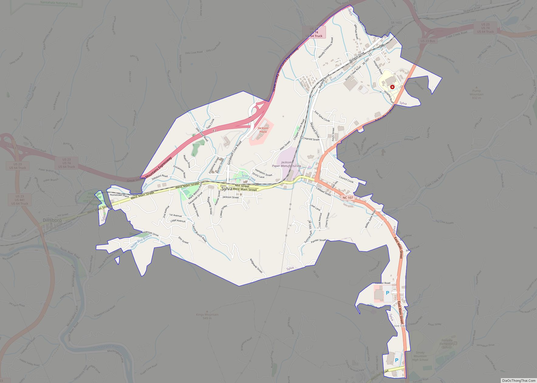
Online Interactive Map
Click on ![]() to view map in "full screen" mode.
to view map in "full screen" mode.
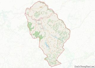
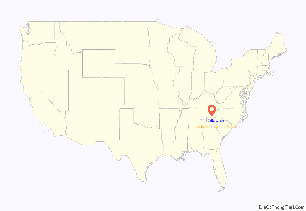
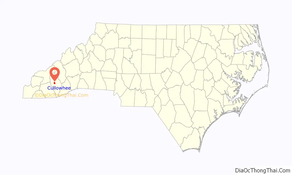
Cullowhee location map. Where is Cullowhee CDP?
History
Developed along a mountain river valley and by a creek, Cullowhee was known as a historic Cherokee village centered around an earthwork platform mound estimated to have been built by 1000 CE by people of the South Appalachian Mississippian culture. Archeological evidence from excavations at Cullowhee Mound suggests that this area had been occupied since 3000 BCE by cultures of indigenous peoples. The historic Cherokee developed a style of public architecture characterized by building large town houses, or council houses, on top of the mounds. This was the center place for the community to gather, and the town elders to meet in council. It expressed the consensus nature of their society.
The Cherokee were forced to cede their land in this area in the early nineteenth century. When European-American settlers moved in, they occupied the site of the former Cherokee village. Cullowhee became one of the first European-American settlements in Jackson County. Residents reportedly founded the first school in the area, a one-room school in 1830. They developed the floodplain area for agriculture. The settlers cleared more land during the 1800s than the Cherokee had cultivated.
In 1883, Roland A. Painter founded Painter Post Office, located in his store on the Old Cullowhee Road. Other businesses clustered there. The post office was renamed as “Cullowhee” in 1908, taking over from another post office in the vicinity of nearby Forest Hills.
In 1889, Cullowhee High School was founded by Robert Lee Madison. It eventually developed as a normal school for teacher training. Later its offerings were expanded into a four-year college curriculum, and ultimately graduate departments supporting today’s Western Carolina University.
The institution ceased to be named a high school in 1923. A new brick building was opened serving grades 1–11. In 1940, a massive flood caused severe damage to the business district, destroying almost all the buildings on the north side of the river. The buildings on the south side survived, though waterlogged. The flood crested at 21 feet (6.4 m) above Cullowhee Dam, the highest on record.
Since then, dams have been built for flood control on the East and West forks of the Tuckasegee River. When the area rebuilt, buildings were developed on the higher ground around Old Cullowhee Road, and the area closer to the river floodplain was abandoned. The mid-century buildings have since become outdated, particularly compared to newer developments.
Businesses in the Old Cullowhee Road area declined in the late 20th century after it was bypassed by the relocation of highway N.C. 107 in the late 1970s to early 1980s. But, since the 1960s, the development of Western Carolina University has stimulated growth around its large campus. In the 21st century, the university has 12,000 students, and offers a variety of related sports and cultural programs. Cullowhee has also been a destination for retirees and people with second homes, resulting in new residential construction.
The university has proposed a new Town Center to incorporate some of its land. (See “Plans” below). Businessmen are also collaborating on revitalization of Old Cullowhee Road, and many new homes are being built or planned for the area.
As noted, the town has had a public school since 1923, which has been in four buildings. It has always been associated with teacher training at the college (and now university). It was established as Cullowhee Training School, serving until 1939. It was replaced by the McKee Training School, which served until 1964. Both of these buildings were located on what is now the university campus. From 1964 to 1994, the public school was known as Cordelia Camp Laboratory School, still associated with educational programs at the university. The Cullowhee Valley School is the latest structure holding the school, which now serves grades K-8. Students go to Sylva for high school.
The oldest surviving European-American structure in the area is St. David’s in the Valley church, which was built in 1880. The Joyner Building and Judaculla Rock are each listed on the National Register of Historic Places.
A Walton Family Foundation report ranked the Cullowhee micropolitan area (Jackson County) as number 13 in the United States. Reasons included the area’s status as a tourist destination and ” superior job growth, wage increases and young businesses.”
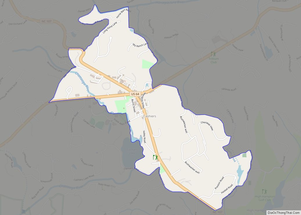
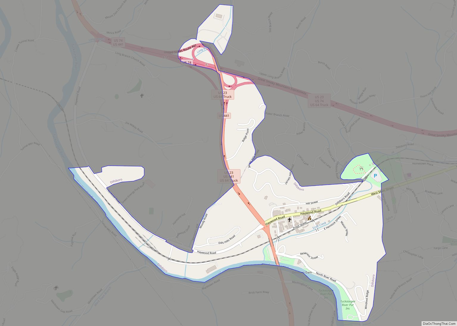
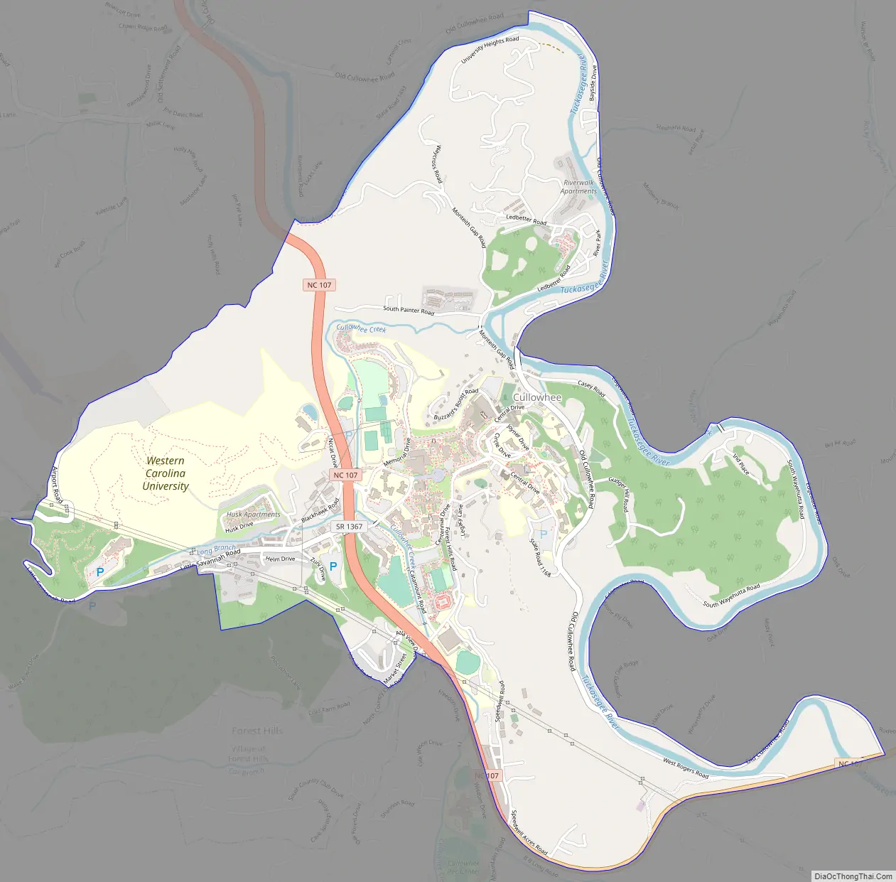
Cullowhee Road Map
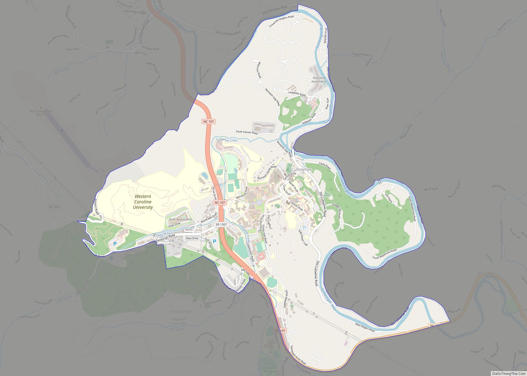
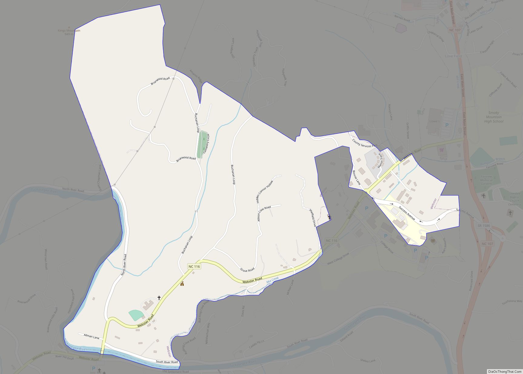
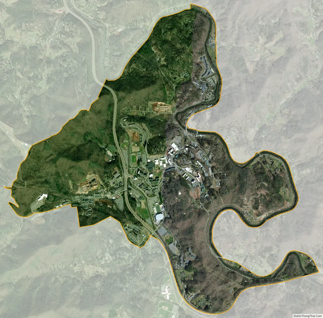
Cullowhee city Satellite Map
Geography
Cullowhee is located in central Jackson County at 35°18′35″N 83°11′01″W / 35.309704°N 83.183726°W / 35.309704; -83.183726, in the valley of the Tuckasegee River. North Carolina Highway 107 runs through the community, leading north 6 miles (10 km) to Sylva, the Jackson county seat, and southeast 7 miles (11 km) to Tuckasegee.
According to the United States Census Bureau, the Cullowhee CDP has a total area of 3.5 square miles (9.1 km), all land.
Climate
Cullowhee typically has a rather mild winter season. In the summer, high temperatures can reach into the 90s Fahrenheit (32-plus degrees Celsius).
See also
Map of North Carolina State and its subdivision:- Alamance
- Alexander
- Alleghany
- Anson
- Ashe
- Avery
- Beaufort
- Bertie
- Bladen
- Brunswick
- Buncombe
- Burke
- Cabarrus
- Caldwell
- Camden
- Carteret
- Caswell
- Catawba
- Chatham
- Cherokee
- Chowan
- Clay
- Cleveland
- Columbus
- Craven
- Cumberland
- Currituck
- Dare
- Davidson
- Davie
- Duplin
- Durham
- Edgecombe
- Forsyth
- Franklin
- Gaston
- Gates
- Graham
- Granville
- Greene
- Guilford
- Halifax
- Harnett
- Haywood
- Henderson
- Hertford
- Hoke
- Hyde
- Iredell
- Jackson
- Johnston
- Jones
- Lee
- Lenoir
- Lincoln
- Macon
- Madison
- Martin
- McDowell
- Mecklenburg
- Mitchell
- Montgomery
- Moore
- Nash
- New Hanover
- Northampton
- Onslow
- Orange
- Pamlico
- Pasquotank
- Pender
- Perquimans
- Person
- Pitt
- Polk
- Randolph
- Richmond
- Robeson
- Rockingham
- Rowan
- Rutherford
- Sampson
- Scotland
- Stanly
- Stokes
- Surry
- Swain
- Transylvania
- Tyrrell
- Union
- Vance
- Wake
- Warren
- Washington
- Watauga
- Wayne
- Wilkes
- Wilson
- Yadkin
- Yancey
- Alabama
- Alaska
- Arizona
- Arkansas
- California
- Colorado
- Connecticut
- Delaware
- District of Columbia
- Florida
- Georgia
- Hawaii
- Idaho
- Illinois
- Indiana
- Iowa
- Kansas
- Kentucky
- Louisiana
- Maine
- Maryland
- Massachusetts
- Michigan
- Minnesota
- Mississippi
- Missouri
- Montana
- Nebraska
- Nevada
- New Hampshire
- New Jersey
- New Mexico
- New York
- North Carolina
- North Dakota
- Ohio
- Oklahoma
- Oregon
- Pennsylvania
- Rhode Island
- South Carolina
- South Dakota
- Tennessee
- Texas
- Utah
- Vermont
- Virginia
- Washington
- West Virginia
- Wisconsin
- Wyoming