Dallas is a town in Gaston County, North Carolina, United States, and a suburb of Charlotte, located north of Gastonia. The population was 4,488 at the 2010 census. It was named for George M. Dallas, Vice President of the United States under James K. Polk.
| Name: | Dallas town |
|---|---|
| LSAD Code: | 43 |
| LSAD Description: | town (suffix) |
| State: | North Carolina |
| County: | Gaston County |
| Founded: | 1846 |
| Incorporated: | 1863 |
| Elevation: | 794 ft (242 m) |
| Total Area: | 3.06 sq mi (7.93 km²) |
| Land Area: | 3.06 sq mi (7.93 km²) |
| Water Area: | 0.00 sq mi (0.00 km²) |
| Total Population: | 5,927 |
| Population Density: | 1,935.66/sq mi (747.39/km²) |
| ZIP code: | 28034 |
| Area code: | 704, 980 |
| FIPS code: | 3716180 |
| GNISfeature ID: | 0983917 |
| Website: | www.dallasnc.net |
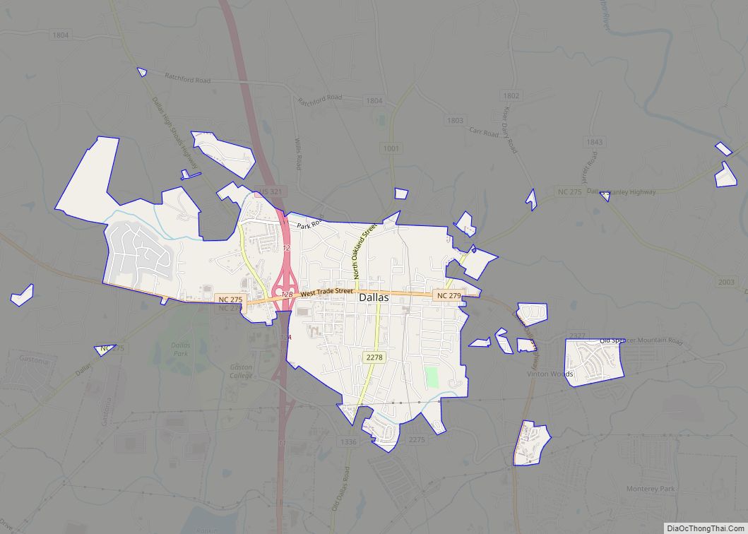
Online Interactive Map
Click on ![]() to view map in "full screen" mode.
to view map in "full screen" mode.
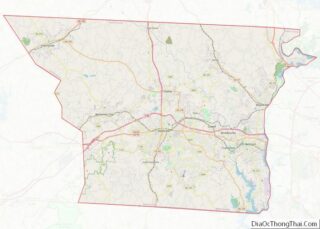
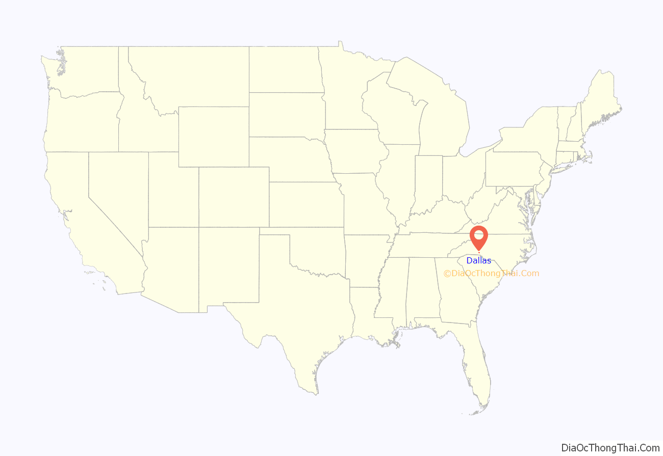
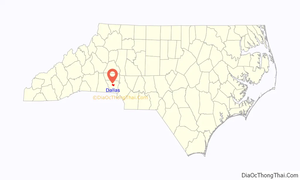
Dallas location map. Where is Dallas town?
History
Dallas was officially incorporated in 1863 and is the oldest incorporated town in Gaston County. It served as the original county seat for Gaston County from 1846 until 1911. The old Gaston County courthouse, renovated in 1868 after a fire, still stands in the main square of the town and formerly served as the headquarters of the Dallas Police Department. The town government has renovated the courthouse.
Dallas began to decline in importance when the town commissioners refused to appropriate money for construction of bridges over several creeks for the Atlanta and Richmond Air-Line Railway in the 1872. The commissioners said the reason was because residents thought that trains would wake them during the night and frighten their livestock. In 1890, White Caps attacked the town “‘Kuklux’ style”, destroying entire portions of the town. After this the county seat was relocated to Gastonia in 1911.
The Dallas Graded and High School, Dallas Historic District, Hoyle House, and Eli Hoyle House are listed on the National Register of Historic Places.
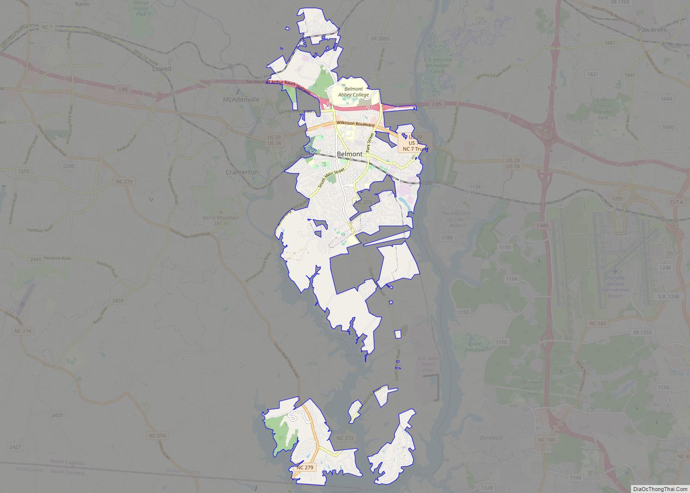
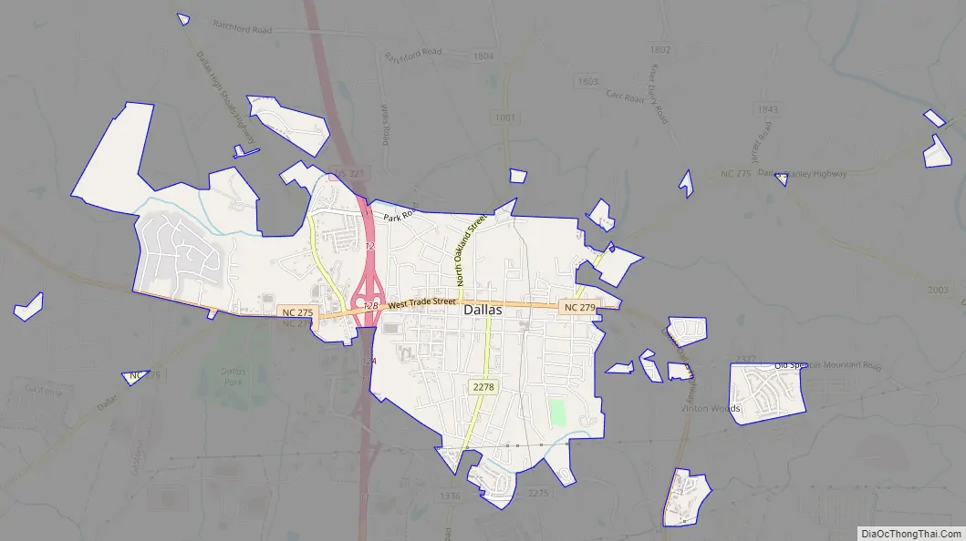
Dallas Road Map
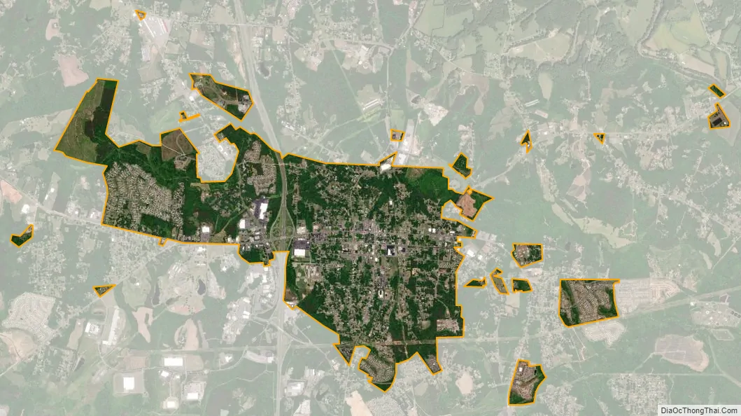
Dallas city Satellite Map
Geography
Dallas is located at 35°18′53″N 81°10′31″W / 35.314816°N 81.175215°W / 35.314816; -81.175215 (35.314816, -81.175215). It is approximately four miles north of the city of Gastonia and about 24 miles (39 km) west of Charlotte. Lincolnton is 13 miles (21 km) north and Hickory is 34 miles (55 km) north of Dallas along US 321.
According to the United States Census Bureau, the town has a total area of 2.9 square miles (7.5 km), all of it land.
Dallas lies within the Long Creek watershed. Long Creek is a right tributary of the South Fork Catawba River. Dallas is drained by Long Creek tributaries Dallas Branch and Little Long Creek.
See also
Map of North Carolina State and its subdivision:- Alamance
- Alexander
- Alleghany
- Anson
- Ashe
- Avery
- Beaufort
- Bertie
- Bladen
- Brunswick
- Buncombe
- Burke
- Cabarrus
- Caldwell
- Camden
- Carteret
- Caswell
- Catawba
- Chatham
- Cherokee
- Chowan
- Clay
- Cleveland
- Columbus
- Craven
- Cumberland
- Currituck
- Dare
- Davidson
- Davie
- Duplin
- Durham
- Edgecombe
- Forsyth
- Franklin
- Gaston
- Gates
- Graham
- Granville
- Greene
- Guilford
- Halifax
- Harnett
- Haywood
- Henderson
- Hertford
- Hoke
- Hyde
- Iredell
- Jackson
- Johnston
- Jones
- Lee
- Lenoir
- Lincoln
- Macon
- Madison
- Martin
- McDowell
- Mecklenburg
- Mitchell
- Montgomery
- Moore
- Nash
- New Hanover
- Northampton
- Onslow
- Orange
- Pamlico
- Pasquotank
- Pender
- Perquimans
- Person
- Pitt
- Polk
- Randolph
- Richmond
- Robeson
- Rockingham
- Rowan
- Rutherford
- Sampson
- Scotland
- Stanly
- Stokes
- Surry
- Swain
- Transylvania
- Tyrrell
- Union
- Vance
- Wake
- Warren
- Washington
- Watauga
- Wayne
- Wilkes
- Wilson
- Yadkin
- Yancey
- Alabama
- Alaska
- Arizona
- Arkansas
- California
- Colorado
- Connecticut
- Delaware
- District of Columbia
- Florida
- Georgia
- Hawaii
- Idaho
- Illinois
- Indiana
- Iowa
- Kansas
- Kentucky
- Louisiana
- Maine
- Maryland
- Massachusetts
- Michigan
- Minnesota
- Mississippi
- Missouri
- Montana
- Nebraska
- Nevada
- New Hampshire
- New Jersey
- New Mexico
- New York
- North Carolina
- North Dakota
- Ohio
- Oklahoma
- Oregon
- Pennsylvania
- Rhode Island
- South Carolina
- South Dakota
- Tennessee
- Texas
- Utah
- Vermont
- Virginia
- Washington
- West Virginia
- Wisconsin
- Wyoming