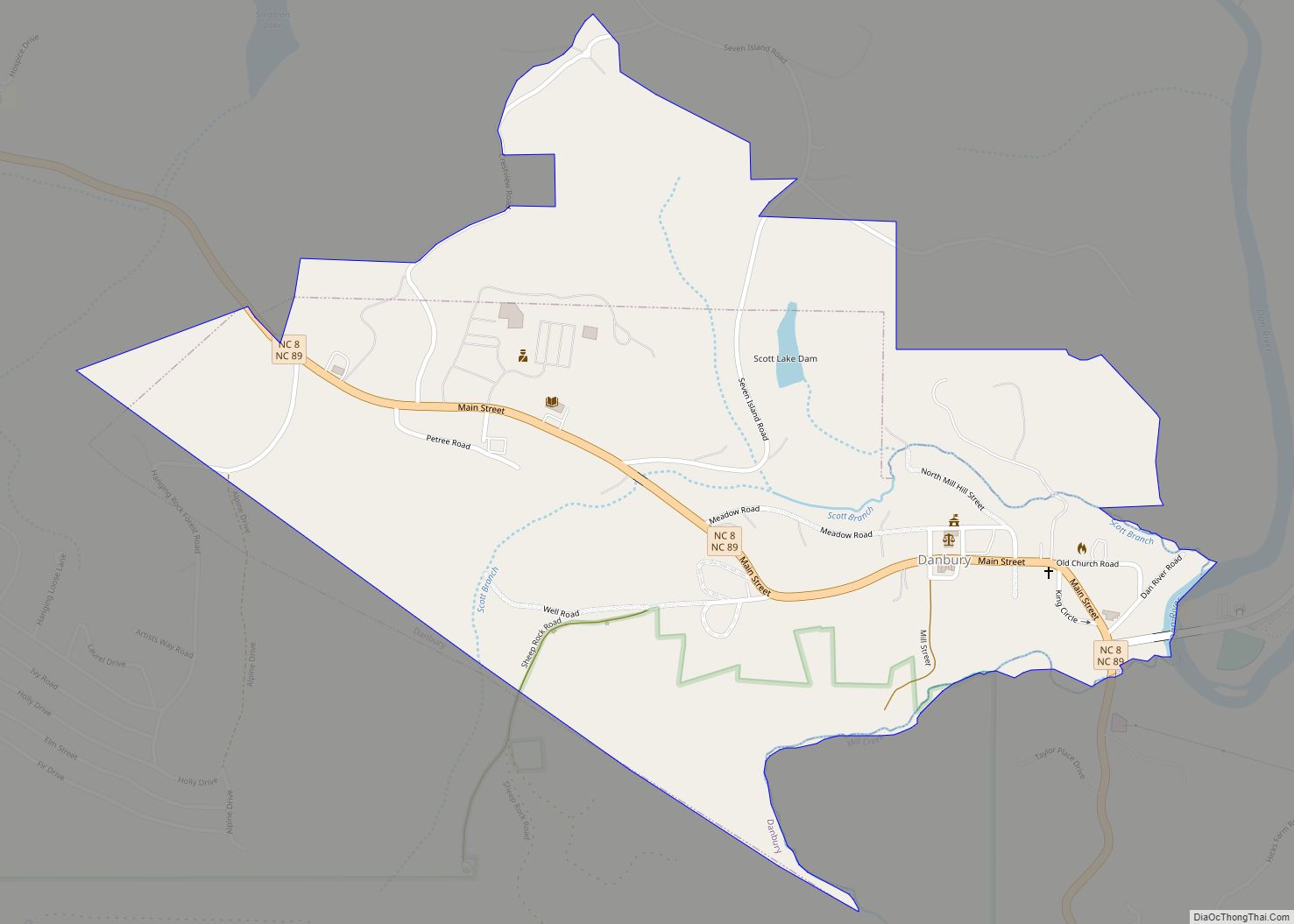
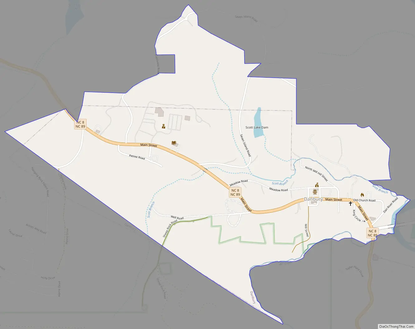
Danbury is a city located in Danbury Township, Stokes County, North Carolina. As of the 2020 census, the city had a total population of 142. It is the county seat of Stokes County. Danbury is located on NC 8/89 approximately 20 miles (32 km) north of Winston-Salem and is the “Gateway to Hanging Rock”. The Stokes County Government Center, Arts Council, school board, county jail, a public library, a post office, and other public services are found within the town limits. LifeBrite Community Hospital of Stokes is located about a half mile northwest of the town.
Danbury is a popular rest stop for bicyclists, motorcyclists, and driving enthusiasts due to the numerous scenic roads in Stokes County. Danbury also attracts outdoor enthusiasts because of its location on the Dan River and near the entrance to Hanging Rock State Park.
There are no regional or national franchises in Danbury, only local shops like the Danbury General Store, and small restaurants. First National Bank has a branch in town. J.E.Priddy’s General Store, a local historic landmark dating from the late 19th century, is still in business selling goods old and new. It is located about 2 miles (3.2 km) east of town on Sheppard Mill Rd.
| Name: | Danbury town |
|---|---|
| LSAD Code: | 43 |
| LSAD Description: | town (suffix) |
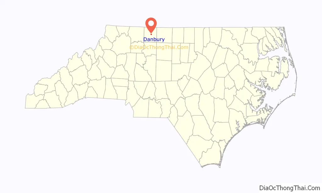
| State: | North Carolina |
| County: | Stokes County |
| Elevation: | 820 ft (250 m) |
| Total Area: | 0.75 sq mi (1.95 km²) |
| Land Area: | 0.75 sq mi (1.94 km²) |
| Water Area: | 0.00 sq mi (0.01 km²) |
| Total Population: | 189 |
| Population Density: | 252.00/sq mi (97.30/km²) |
| ZIP code: | 27016 |
| Area code: | 336 |
| FIPS code: | 3716240 |
| GNISfeature ID: | 1019902 |
| Website: | www.townofdanbury.org |
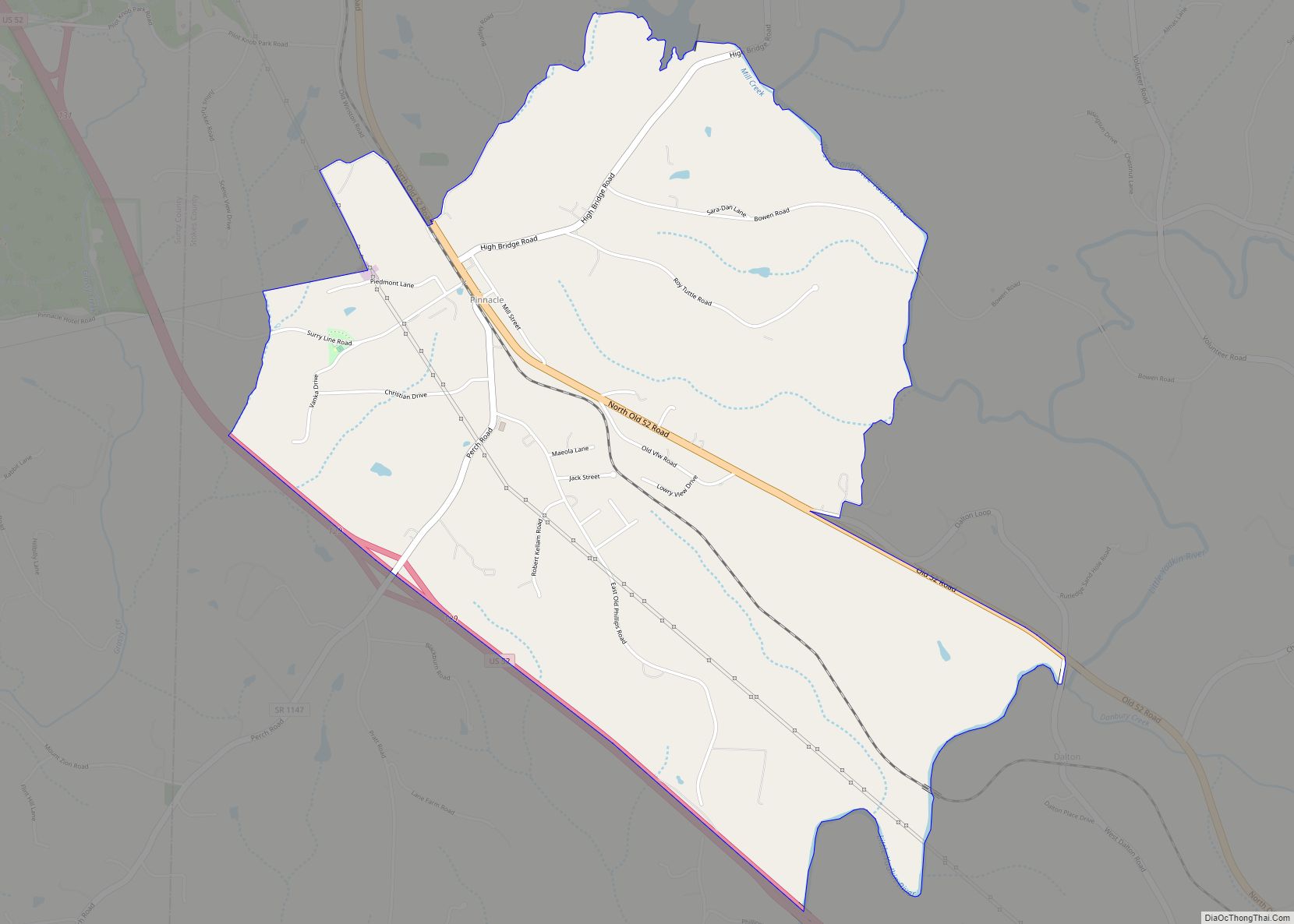
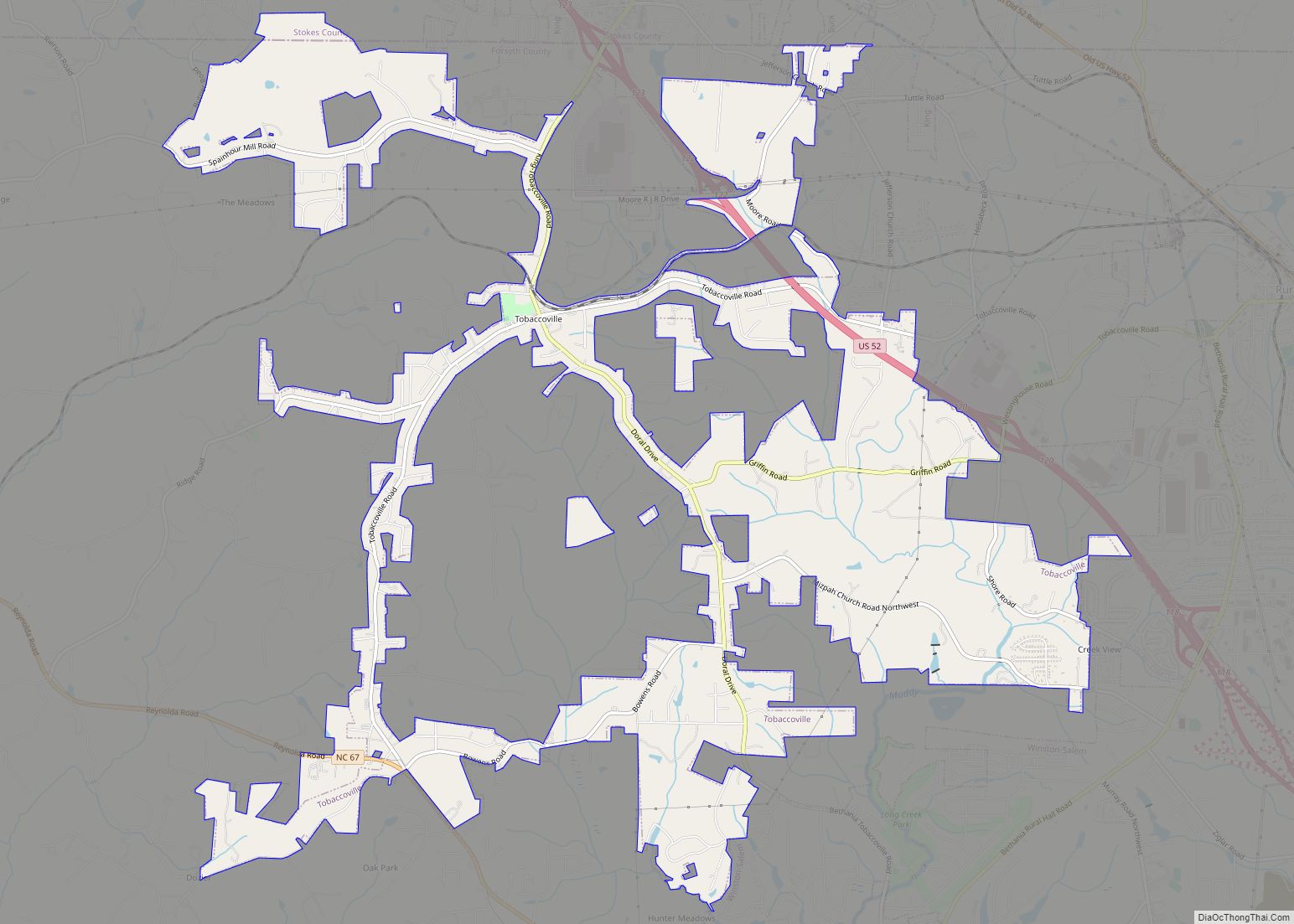
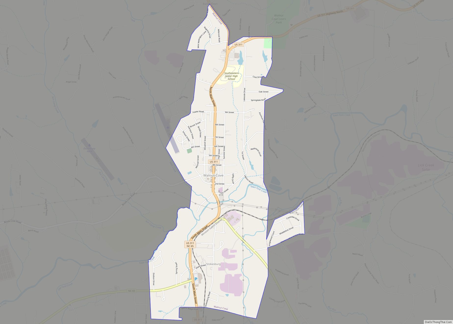
Online Interactive Map
Click on ![]() to view map in "full screen" mode.
to view map in "full screen" mode.
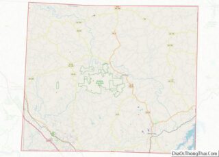
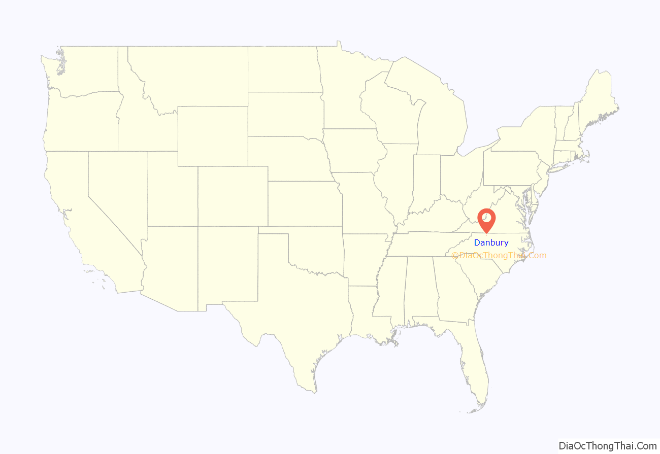
Danbury location map. Where is Danbury town?
History
Danbury was founded in 1851 specifically to serve as the new centrally-located county seat after Stokes County was divided in 1849, creating Forsyth County to the south (with the new county seat of Winston, later Winston-Salem) and a smaller Stokes County. Danbury was briefly known as Crawford.
No battles occurred in Danbury during the Civil War, but it housed and supported the war efforts of the Confederate Army. The Moratock Iron Furnace, which is still found in Moratock Park, was used in the smelting of iron ore. General George Stoneman’s raid passed through Danbury on April 9, 1865, the day of the surrender of Confederate forces at Appomattox Court House, Va. Other historical features in the town include the Wilson Fulton House, the Old Stokes County Court House, and Moody’s Tavern (later McCanless Hotel).
In addition to the Moratock Iron Furnace, the Danbury Historic District, Hanging Rock State Park Bathhouse, and Stokes County Courthouse are listed on the National Register of Historic Places.
Danbury Road Map
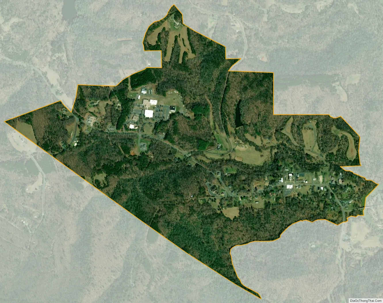
Danbury city Satellite Map
Geography
Danbury is located at 36°24’34” North, 80°12’32” West (36.409419, -80.208785).
According to the United States Census Bureau, the town has a total area of 0.6 square miles (1.6 km).
See also
Map of North Carolina State and its subdivision:- Alamance
- Alexander
- Alleghany
- Anson
- Ashe
- Avery
- Beaufort
- Bertie
- Bladen
- Brunswick
- Buncombe
- Burke
- Cabarrus
- Caldwell
- Camden
- Carteret
- Caswell
- Catawba
- Chatham
- Cherokee
- Chowan
- Clay
- Cleveland
- Columbus
- Craven
- Cumberland
- Currituck
- Dare
- Davidson
- Davie
- Duplin
- Durham
- Edgecombe
- Forsyth
- Franklin
- Gaston
- Gates
- Graham
- Granville
- Greene
- Guilford
- Halifax
- Harnett
- Haywood
- Henderson
- Hertford
- Hoke
- Hyde
- Iredell
- Jackson
- Johnston
- Jones
- Lee
- Lenoir
- Lincoln
- Macon
- Madison
- Martin
- McDowell
- Mecklenburg
- Mitchell
- Montgomery
- Moore
- Nash
- New Hanover
- Northampton
- Onslow
- Orange
- Pamlico
- Pasquotank
- Pender
- Perquimans
- Person
- Pitt
- Polk
- Randolph
- Richmond
- Robeson
- Rockingham
- Rowan
- Rutherford
- Sampson
- Scotland
- Stanly
- Stokes
- Surry
- Swain
- Transylvania
- Tyrrell
- Union
- Vance
- Wake
- Warren
- Washington
- Watauga
- Wayne
- Wilkes
- Wilson
- Yadkin
- Yancey
- Alabama
- Alaska
- Arizona
- Arkansas
- California
- Colorado
- Connecticut
- Delaware
- District of Columbia
- Florida
- Georgia
- Hawaii
- Idaho
- Illinois
- Indiana
- Iowa
- Kansas
- Kentucky
- Louisiana
- Maine
- Maryland
- Massachusetts
- Michigan
- Minnesota
- Mississippi
- Missouri
- Montana
- Nebraska
- Nevada
- New Hampshire
- New Jersey
- New Mexico
- New York
- North Carolina
- North Dakota
- Ohio
- Oklahoma
- Oregon
- Pennsylvania
- Rhode Island
- South Carolina
- South Dakota
- Tennessee
- Texas
- Utah
- Vermont
- Virginia
- Washington
- West Virginia
- Wisconsin
- Wyoming