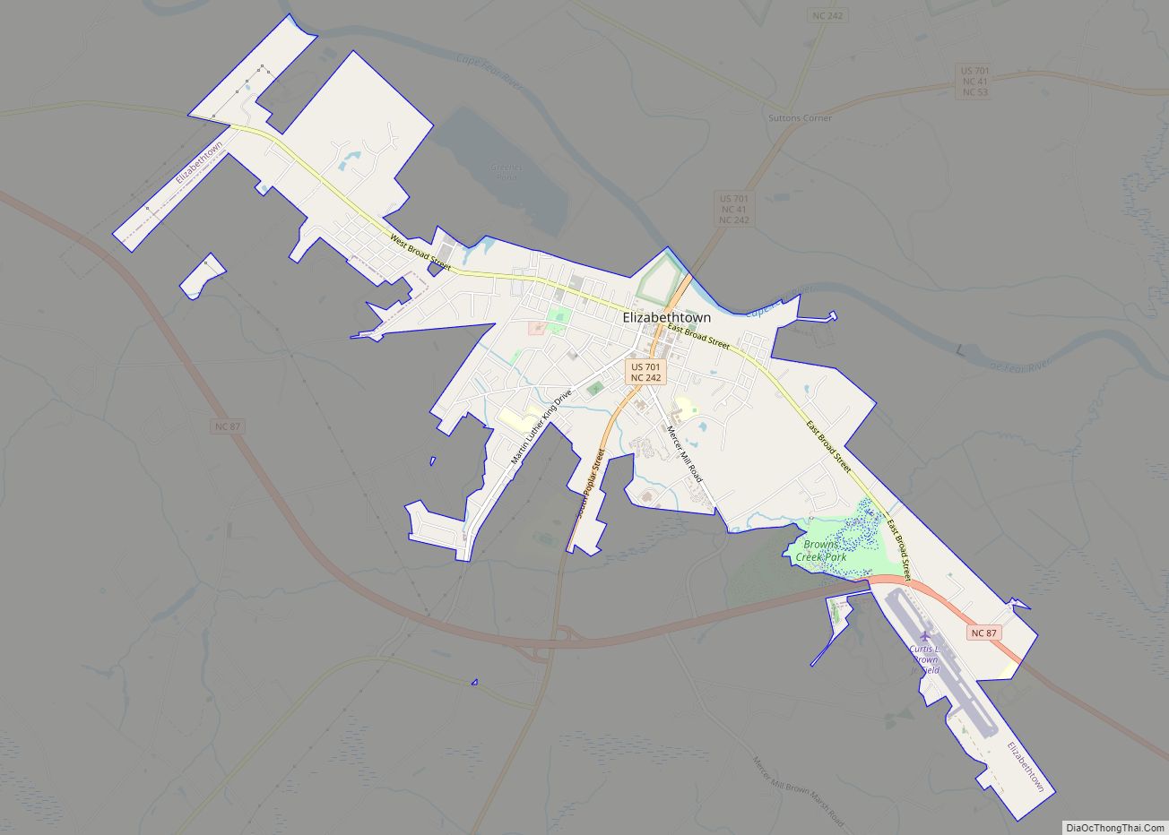
Elizabethtown is a town in Bladen County, North Carolina, United States. The population was 3,583 at the 2010 census. It is the county seat of Bladen County. Elizabethtown town overview: Name: Elizabethtown town LSAD Code: 43 LSAD Description: town (suffix) State: North Carolina County: Bladen County Elevation: 108 ft (33 m) Total Area: 5.11 sq mi (13.24 km²) Land Area: ... Read more
North Carolina Cities and Places
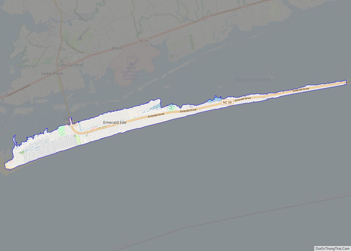
Emerald Isle is a town in Carteret County, North Carolina, United States. It is part of the Crystal Coast and is located entirely on Bogue Banks. The population was 3,847 at the 2020 census, but as many as 50,000 tourists each week inhabit the area during the summer season, filling up vacant rental properties that ... Read more
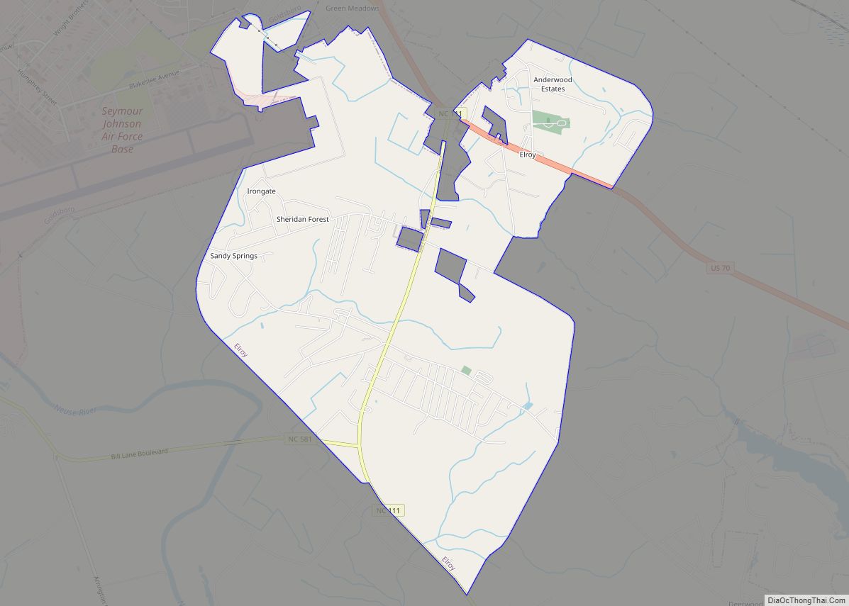
Elroy is a town in Wayne County, North Carolina, United States. In 2007, the estimated population was 3,905. It is included in the Goldsboro, North Carolina Metropolitan Statistical Area. Elroy CDP overview: Name: Elroy CDP LSAD Code: 57 LSAD Description: CDP (suffix) State: North Carolina County: Wayne County Elevation: 112 ft (34 m) Total Area: 6.54 sq mi (16.93 km²) ... Read more
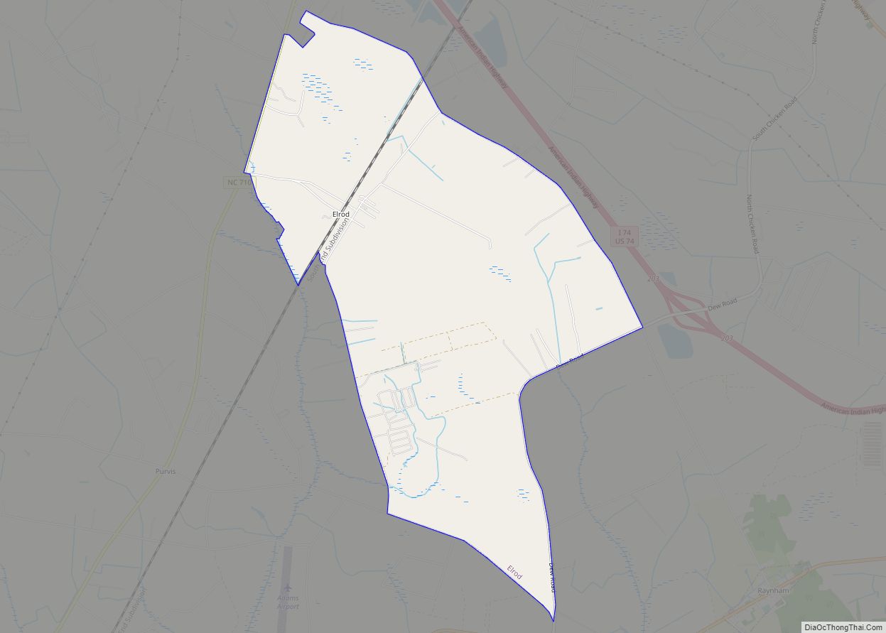
Elrod is a census-designated place (CDP) in Robeson County, North Carolina, United States. The population was 441 at the 2000 census. Elrod CDP overview: Name: Elrod CDP LSAD Code: 57 LSAD Description: CDP (suffix) State: North Carolina County: Robeson County Elevation: 157 ft (48 m) Total Area: 5.34 sq mi (13.83 km²) Land Area: 5.34 sq mi (13.83 km²) Water Area: 0.00 sq mi (0.00 km²) ... Read more
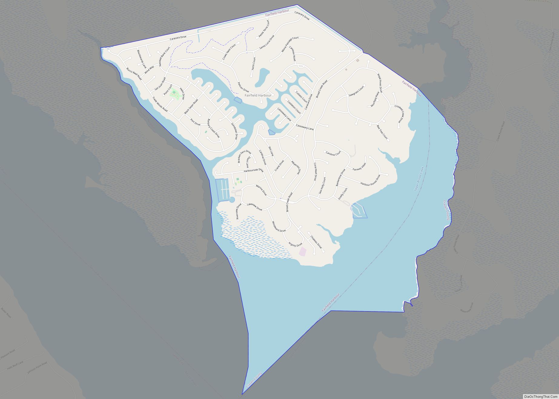
Fairfield Harbour is an unincorporated community and census-designated place (CDP) in Craven County, North Carolina, United States. The population was 2,952 at the 2010 census, up from 1,983 in 2000. It is part of the New Bern, North Carolina Metropolitan Statistical Area. Fairfield Harbour CDP overview: Name: Fairfield Harbour CDP LSAD Code: 57 LSAD Description: ... Read more
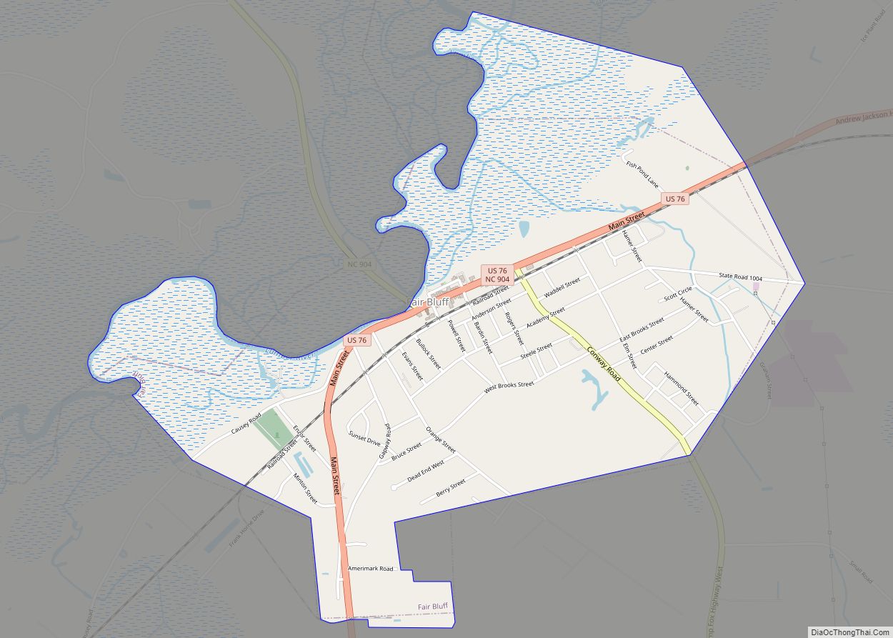
Fair Bluff is a town in Columbus County, North Carolina, United States that was devastated by coastal flooding from Hurricane Matthew in 2016 and inundated again by high water by Hurricane Florence in 2018. Before the two events, the population was 951 at the 2010 census but is believed to be lower following the two ... Read more
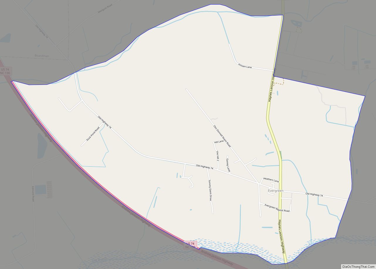
Evergreen is an unincorporated community and census-designated place (CDP) in Tatums Township, Columbus County, North Carolina, United States. It lies on North Carolina Highway 242, north of U.S. Route 74 and NC 130, at an elevation of 108 feet (33 m). The population was 420 at the 2010 census. Evergreen CDP overview: Name: Evergreen CDP LSAD ... Read more
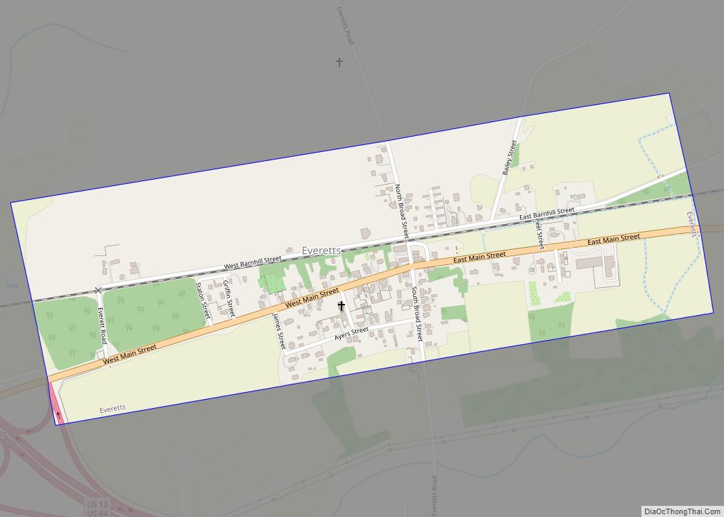
Everetts is a town in Martin County, North Carolina, United States. The population was 164 at the 2010 census. Everetts town overview: Name: Everetts town LSAD Code: 43 LSAD Description: town (suffix) State: North Carolina County: Martin County Elevation: 56 ft (17 m) Total Area: 0.49 sq mi (1.28 km²) Land Area: 0.49 sq mi (1.28 km²) Water Area: 0.00 sq mi (0.00 km²) Total Population: ... Read more
Eureka is a town in Wayne County, North Carolina, United States. The population was 197 at the 2010 census. It is included in the Goldsboro, North Carolina Metropolitan Statistical Area. Eureka town overview: Name: Eureka town LSAD Code: 43 LSAD Description: town (suffix) State: North Carolina County: Wayne County Elevation: 125 ft (38 m) Total Area: 0.34 sq mi ... Read more
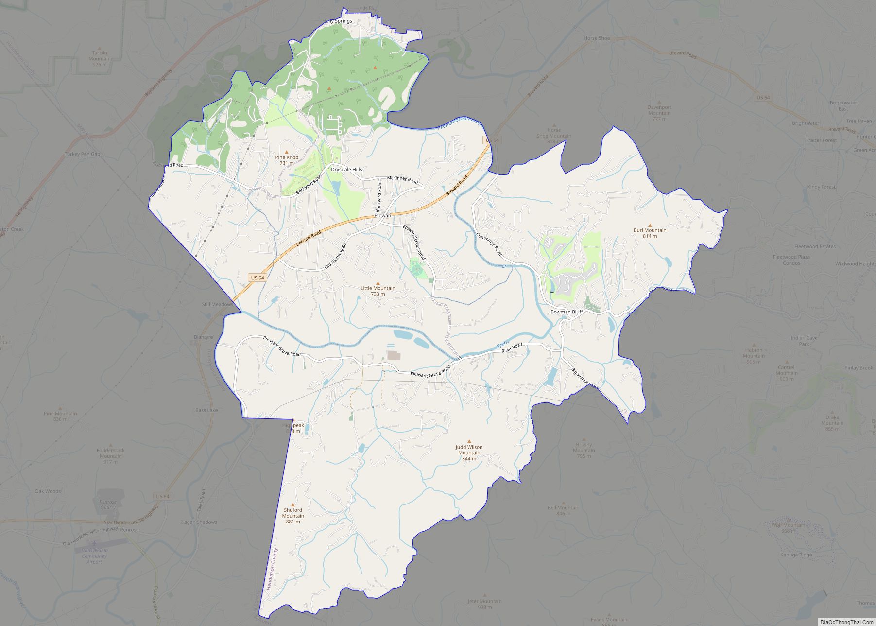
Etowah is an unincorporated community and census-designated place (CDP) in Henderson County, North Carolina, United States. The population was 6,944 at the 2010 census. It is part of the Asheville Metropolitan Statistical Area. Etowah CDP overview: Name: Etowah CDP LSAD Code: 57 LSAD Description: CDP (suffix) State: North Carolina County: Henderson County Elevation: 2,119 ft (646 m) ... Read more
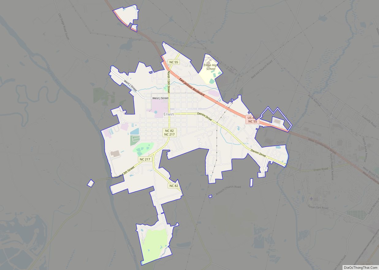
Erwin is a town that is located in the eastern part of Harnett County, North Carolina, United States, located approximately 5 miles (8.0 km) from Dunn and approximately 20 miles (32 km) from Fayetteville. The city is a part of the Dunn, NC Micropolitan Statistical Area, which is additionally a part of the greater Raleigh-Durham-Cary, NC CSA, ... Read more
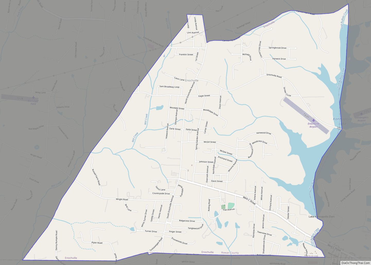
Enochville is a census-designated place (CDP) in Rowan County, North Carolina, United States. The population was 2,851 at the 2000 census. Enochville CDP overview: Name: Enochville CDP LSAD Code: 57 LSAD Description: CDP (suffix) State: North Carolina County: Rowan County Elevation: 866 ft (264 m) Total Area: 4.71 sq mi (12.20 km²) Land Area: 4.48 sq mi (11.60 km²) Water Area: 0.23 sq mi (0.60 km²) ... Read more
