Erwin is a town that is located in the eastern part of Harnett County, North Carolina, United States, located approximately 5 miles (8.0 km) from Dunn and approximately 20 miles (32 km) from Fayetteville. The city is a part of the Dunn, NC Micropolitan Statistical Area, which is additionally a part of the greater Raleigh-Durham-Cary, NC CSA, according to the United States Census Bureau. Currently, the city has a population of 5,270 as of the 2020 census. Its current mayor is Randy Baker, who has been the mayor since being elected on May 17, 2022.
| Name: | Erwin town |
|---|---|
| LSAD Code: | 43 |
| LSAD Description: | town (suffix) |
| State: | North Carolina |
| County: | Harnett County |
| Elevation: | 187 ft (57 m) |
| Total Area: | 4.25 sq mi (11.02 km²) |
| Land Area: | 4.22 sq mi (10.92 km²) |
| Water Area: | 0.04 sq mi (0.10 km²) |
| Total Population: | 4,542 |
| Population Density: | 1,077.32/sq mi (415.98/km²) |
| ZIP code: | 28339 |
| FIPS code: | 3721740 |
| GNISfeature ID: | 1020169 |
| Website: | www.erwin-nc.org |
Online Interactive Map
Click on ![]() to view map in "full screen" mode.
to view map in "full screen" mode.
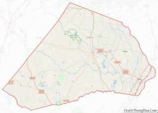
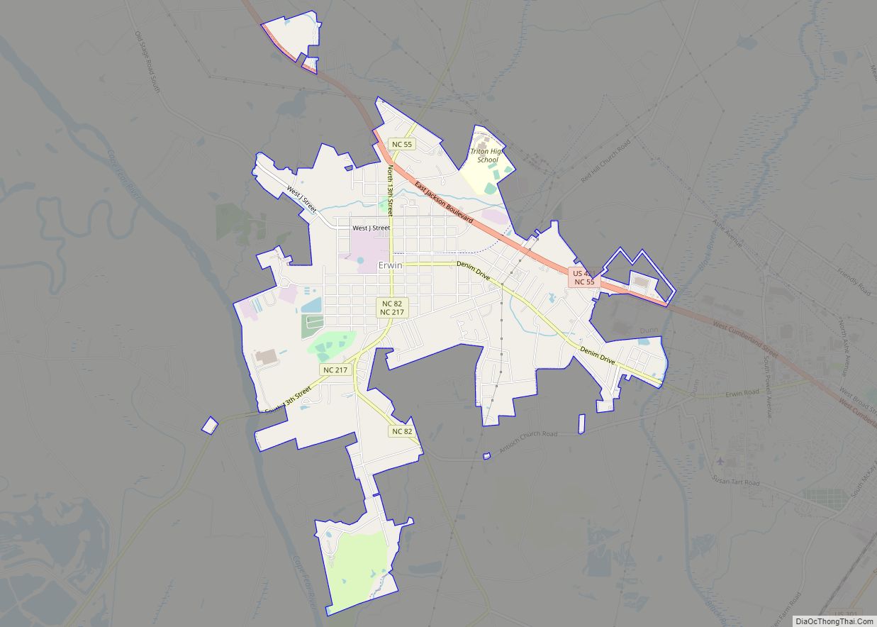
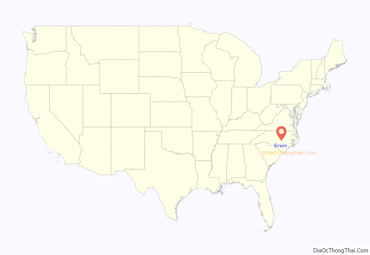
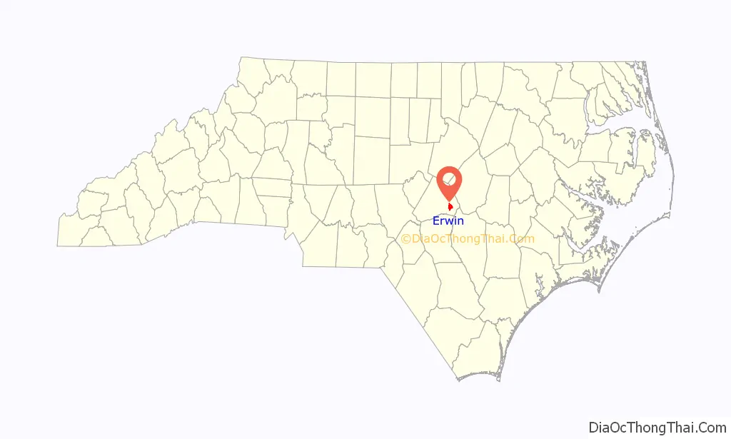
Erwin location map. Where is Erwin town?
History
Prior to Erwin, there was a colonial-era settlement in the area known as “Averasboro”. The Battle of Averasborough was fought nearby during the American Civil War. In 1902, the Duke family built the Erwin Cotton Mill, which closed on December 1, 2000, due to the North American Free Trade Agreement increasing the labor costs of the mill workers, leaving Swift Textiles to relocate the mill’s operations to Mexico. The new town was named “Duke” after the founding shareholders. In 1925, the name was changed to “Erwin” because of the formation of Duke University in Durham, North Carolina. Oak Grove, Averasboro Battlefield Historic District, and Downtown Erwin are listed on the National Register of Historic Places.
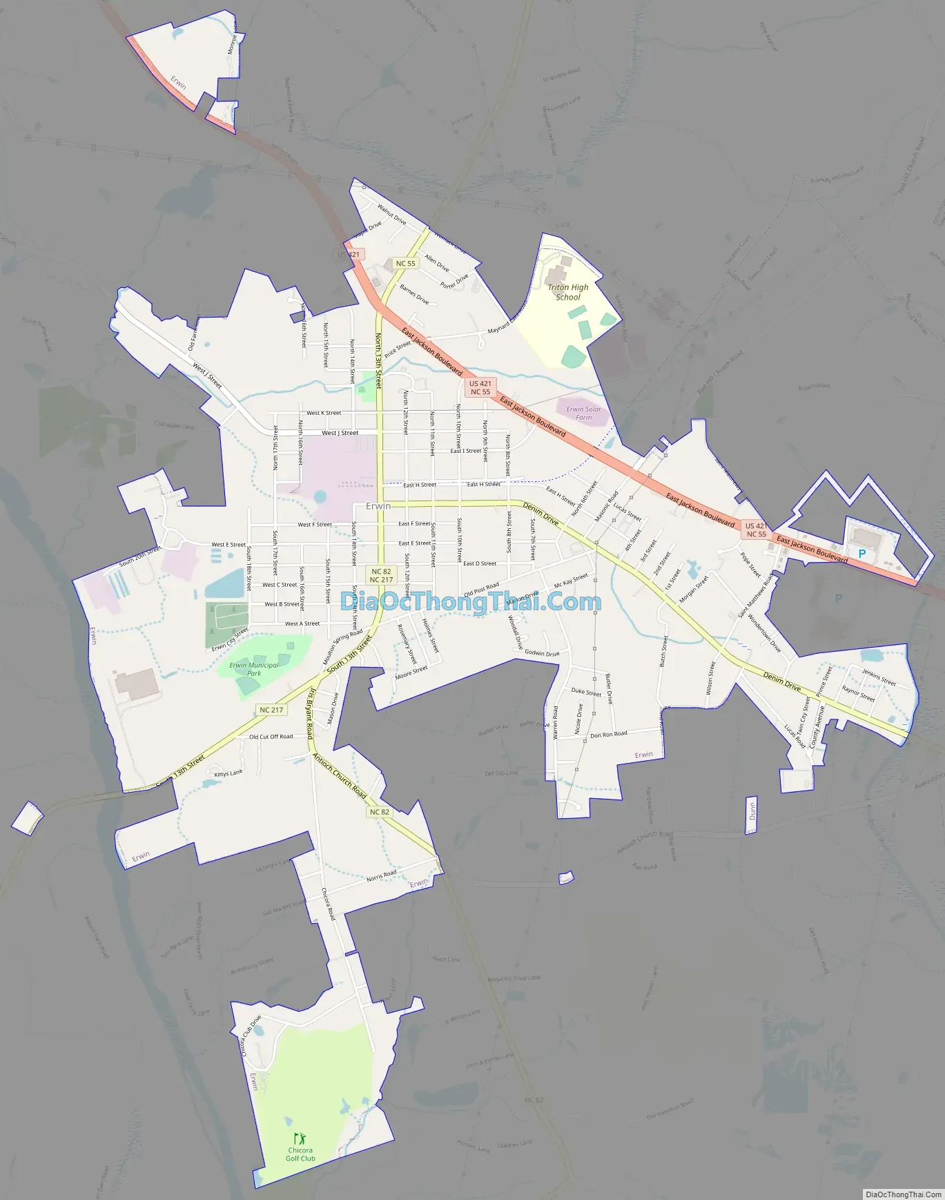
Erwin Road Map
Erwin city Satellite Map

Geography
According to the United States Census Bureau, the town of Erwin has a total area of 4.23 square miles (10.95 km), of which 0.04 square miles (0.10 km), or 0.91%, are water. The Cape Fear River forms part of the western border of the town. Juniper Creek, a tributary to the Cape Fear River, enters in Erwin.
See also
Map of North Carolina State and its subdivision:- Alamance
- Alexander
- Alleghany
- Anson
- Ashe
- Avery
- Beaufort
- Bertie
- Bladen
- Brunswick
- Buncombe
- Burke
- Cabarrus
- Caldwell
- Camden
- Carteret
- Caswell
- Catawba
- Chatham
- Cherokee
- Chowan
- Clay
- Cleveland
- Columbus
- Craven
- Cumberland
- Currituck
- Dare
- Davidson
- Davie
- Duplin
- Durham
- Edgecombe
- Forsyth
- Franklin
- Gaston
- Gates
- Graham
- Granville
- Greene
- Guilford
- Halifax
- Harnett
- Haywood
- Henderson
- Hertford
- Hoke
- Hyde
- Iredell
- Jackson
- Johnston
- Jones
- Lee
- Lenoir
- Lincoln
- Macon
- Madison
- Martin
- McDowell
- Mecklenburg
- Mitchell
- Montgomery
- Moore
- Nash
- New Hanover
- Northampton
- Onslow
- Orange
- Pamlico
- Pasquotank
- Pender
- Perquimans
- Person
- Pitt
- Polk
- Randolph
- Richmond
- Robeson
- Rockingham
- Rowan
- Rutherford
- Sampson
- Scotland
- Stanly
- Stokes
- Surry
- Swain
- Transylvania
- Tyrrell
- Union
- Vance
- Wake
- Warren
- Washington
- Watauga
- Wayne
- Wilkes
- Wilson
- Yadkin
- Yancey
- Alabama
- Alaska
- Arizona
- Arkansas
- California
- Colorado
- Connecticut
- Delaware
- District of Columbia
- Florida
- Georgia
- Hawaii
- Idaho
- Illinois
- Indiana
- Iowa
- Kansas
- Kentucky
- Louisiana
- Maine
- Maryland
- Massachusetts
- Michigan
- Minnesota
- Mississippi
- Missouri
- Montana
- Nebraska
- Nevada
- New Hampshire
- New Jersey
- New Mexico
- New York
- North Carolina
- North Dakota
- Ohio
- Oklahoma
- Oregon
- Pennsylvania
- Rhode Island
- South Carolina
- South Dakota
- Tennessee
- Texas
- Utah
- Vermont
- Virginia
- Washington
- West Virginia
- Wisconsin
- Wyoming