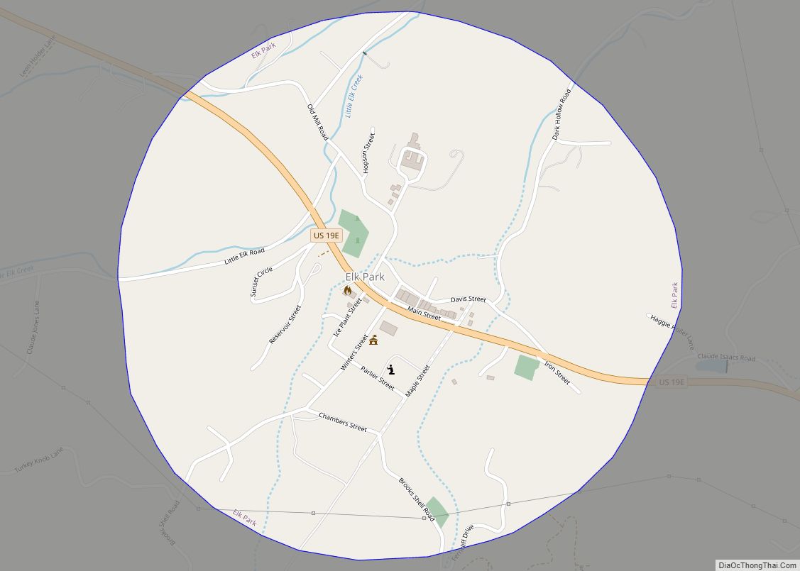
Elk Park is a town in Avery County, North Carolina, United States. The town was so named because of the number of elk killed there. The population was 452 at the 2010 census.
| Name: | Elk Park town |
|---|---|
| LSAD Code: | 43 |
| LSAD Description: | town (suffix) |
| State: | North Carolina |
| County: | Avery County |
| Incorporated: | 1885 |
| Elevation: | 3,166 ft (965 m) |
| Total Area: | 0.69 sq mi (1.79 km²) |
| Land Area: | 0.69 sq mi (1.79 km²) |
| Water Area: | 0.00 sq mi (0.00 km²) |
| Total Population: | 542 |
| Population Density: | 784.37/sq mi (303.03/km²) |
| ZIP code: | 28622 |
| Area code: | 828 |
| FIPS code: | 3720700 |
| GNISfeature ID: | 1011054 |
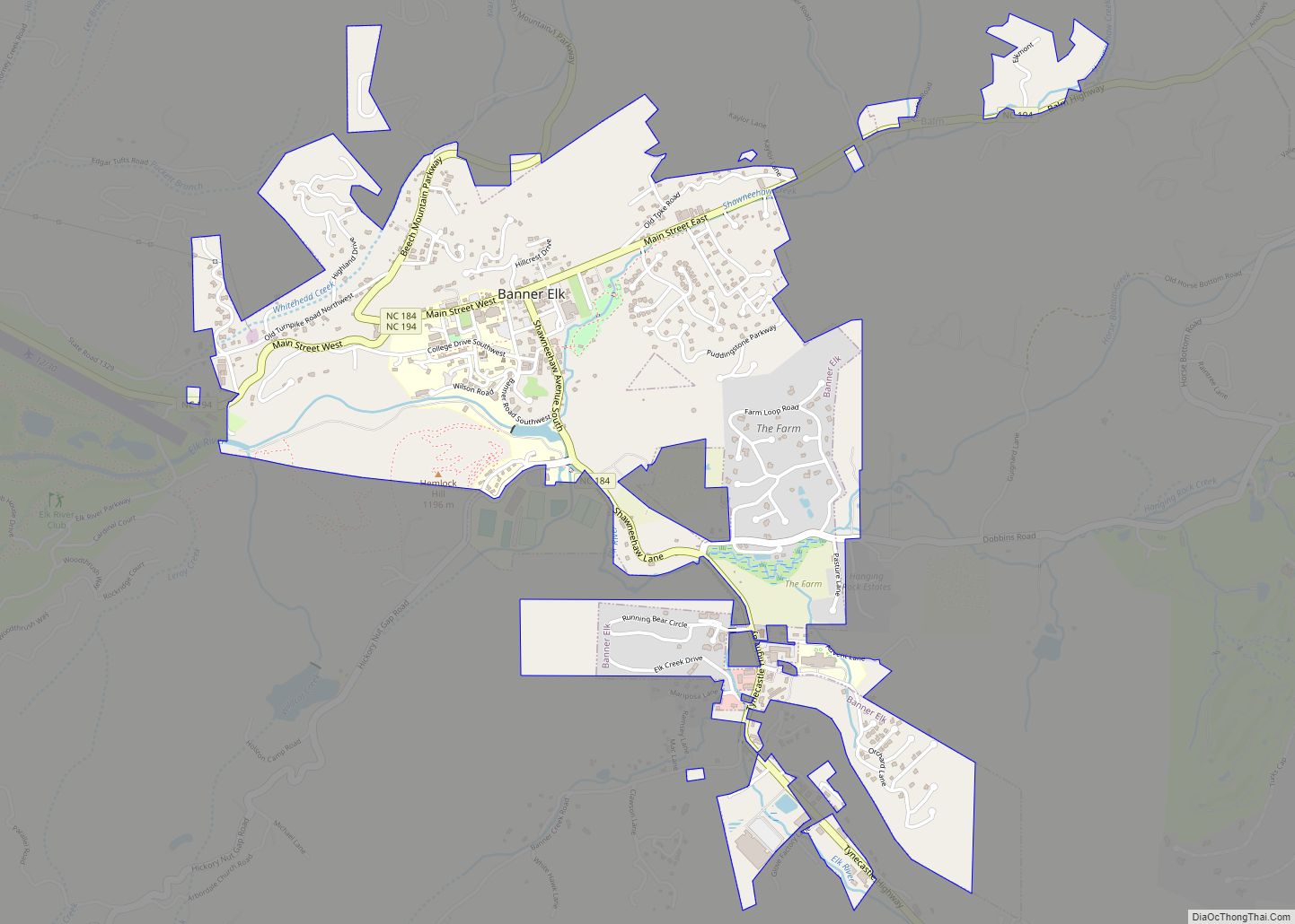
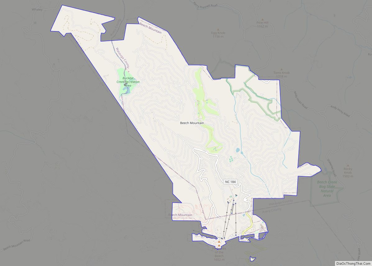
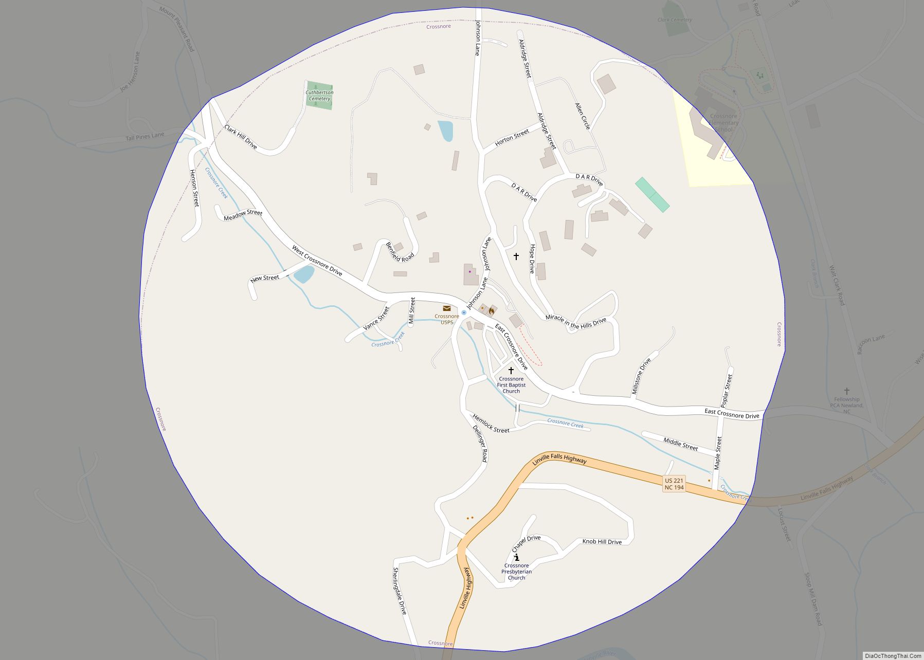
Online Interactive Map
Click on ![]() to view map in "full screen" mode.
to view map in "full screen" mode.
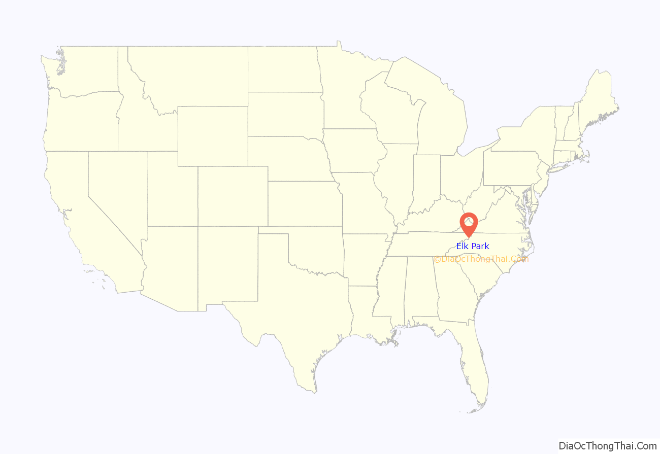
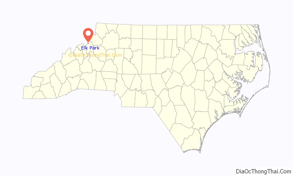
Elk Park location map. Where is Elk Park town?
History
In 1882, the East Tennessee and Western North Carolina Railroad (“Tweetsie”) linked Cranberry and Johnson City, Tennessee with a stop at Elk Park; three years later, Elk Park was incorporated. In 1911, Avery County was established; originally Elk Park was to serve as the county seat, but was changed after North Carolina Lieutenant Governor William C. Newland made a deal that the new county seat would be named after him for his aid in passage of the bill. However, Elk Park served as a temporary county seat while the new incorporated town of Newland was being constructed. In 1950, the East Tennessee and Western North Carolina decommissioned the railroad at Elk Park, ending rail service in Avery County, though it has survived as a town, unlike neighboring Cranberry.
Elk Park School was listed on the National Register of Historic Places in 2005.
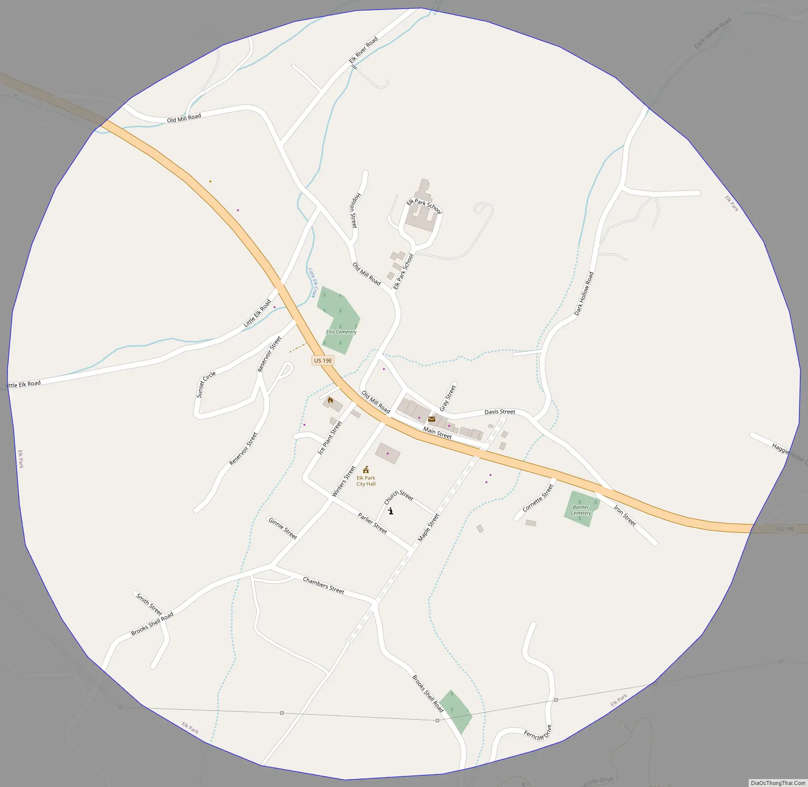
Elk Park Road Map
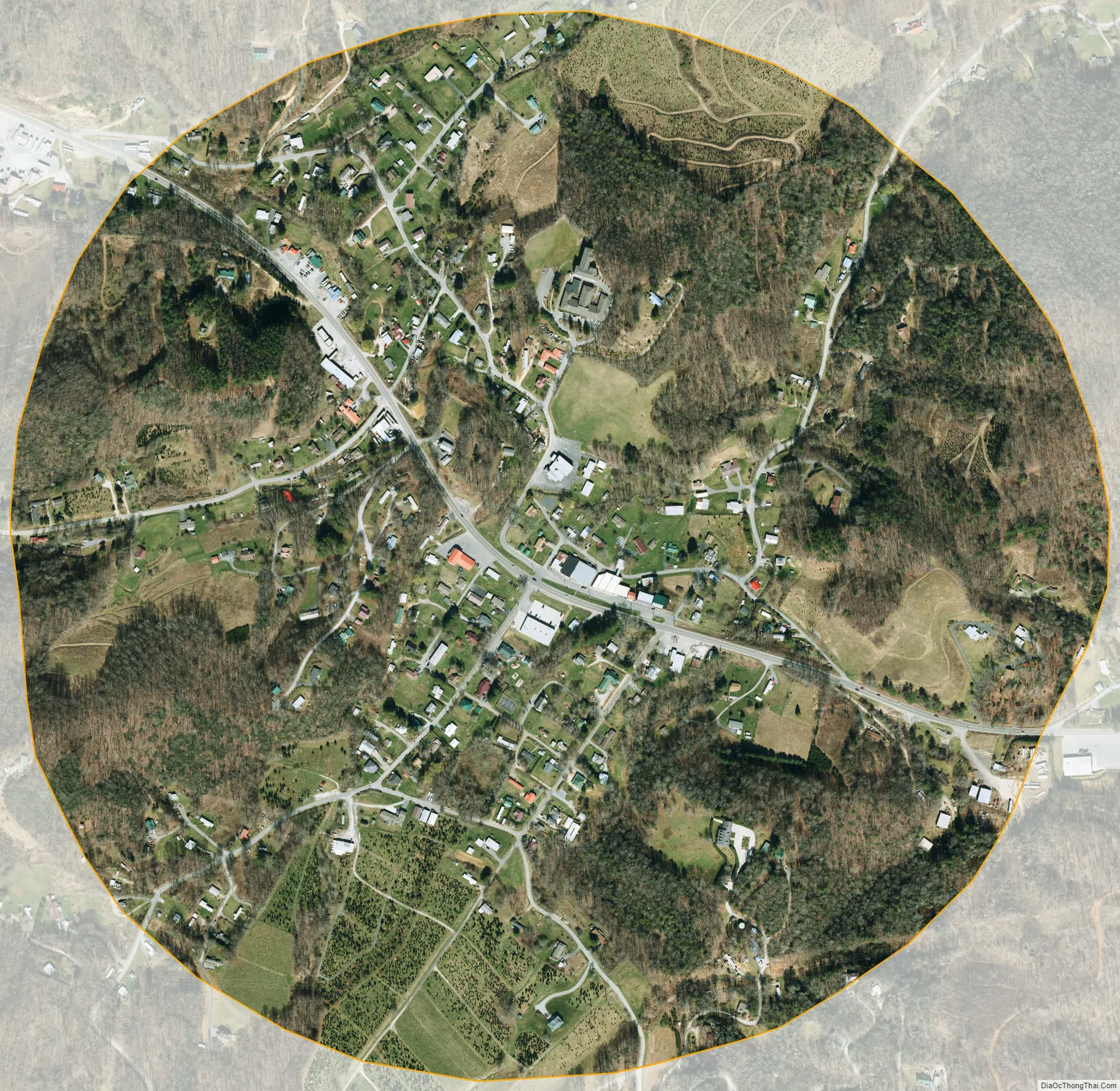
Elk Park city Satellite Map
Geography
Elk Park is located at 36°9′30″N 81°58′52″W / 36.15833°N 81.98111°W / 36.15833; -81.98111 (36.158356, -81.981088).
According to the United States Census Bureau, the town has a total area of 0.7 square miles (1.8 km), all land.
See also
Map of North Carolina State and its subdivision:- Alamance
- Alexander
- Alleghany
- Anson
- Ashe
- Avery
- Beaufort
- Bertie
- Bladen
- Brunswick
- Buncombe
- Burke
- Cabarrus
- Caldwell
- Camden
- Carteret
- Caswell
- Catawba
- Chatham
- Cherokee
- Chowan
- Clay
- Cleveland
- Columbus
- Craven
- Cumberland
- Currituck
- Dare
- Davidson
- Davie
- Duplin
- Durham
- Edgecombe
- Forsyth
- Franklin
- Gaston
- Gates
- Graham
- Granville
- Greene
- Guilford
- Halifax
- Harnett
- Haywood
- Henderson
- Hertford
- Hoke
- Hyde
- Iredell
- Jackson
- Johnston
- Jones
- Lee
- Lenoir
- Lincoln
- Macon
- Madison
- Martin
- McDowell
- Mecklenburg
- Mitchell
- Montgomery
- Moore
- Nash
- New Hanover
- Northampton
- Onslow
- Orange
- Pamlico
- Pasquotank
- Pender
- Perquimans
- Person
- Pitt
- Polk
- Randolph
- Richmond
- Robeson
- Rockingham
- Rowan
- Rutherford
- Sampson
- Scotland
- Stanly
- Stokes
- Surry
- Swain
- Transylvania
- Tyrrell
- Union
- Vance
- Wake
- Warren
- Washington
- Watauga
- Wayne
- Wilkes
- Wilson
- Yadkin
- Yancey
- Alabama
- Alaska
- Arizona
- Arkansas
- California
- Colorado
- Connecticut
- Delaware
- District of Columbia
- Florida
- Georgia
- Hawaii
- Idaho
- Illinois
- Indiana
- Iowa
- Kansas
- Kentucky
- Louisiana
- Maine
- Maryland
- Massachusetts
- Michigan
- Minnesota
- Mississippi
- Missouri
- Montana
- Nebraska
- Nevada
- New Hampshire
- New Jersey
- New Mexico
- New York
- North Carolina
- North Dakota
- Ohio
- Oklahoma
- Oregon
- Pennsylvania
- Rhode Island
- South Carolina
- South Dakota
- Tennessee
- Texas
- Utah
- Vermont
- Virginia
- Washington
- West Virginia
- Wisconsin
- Wyoming