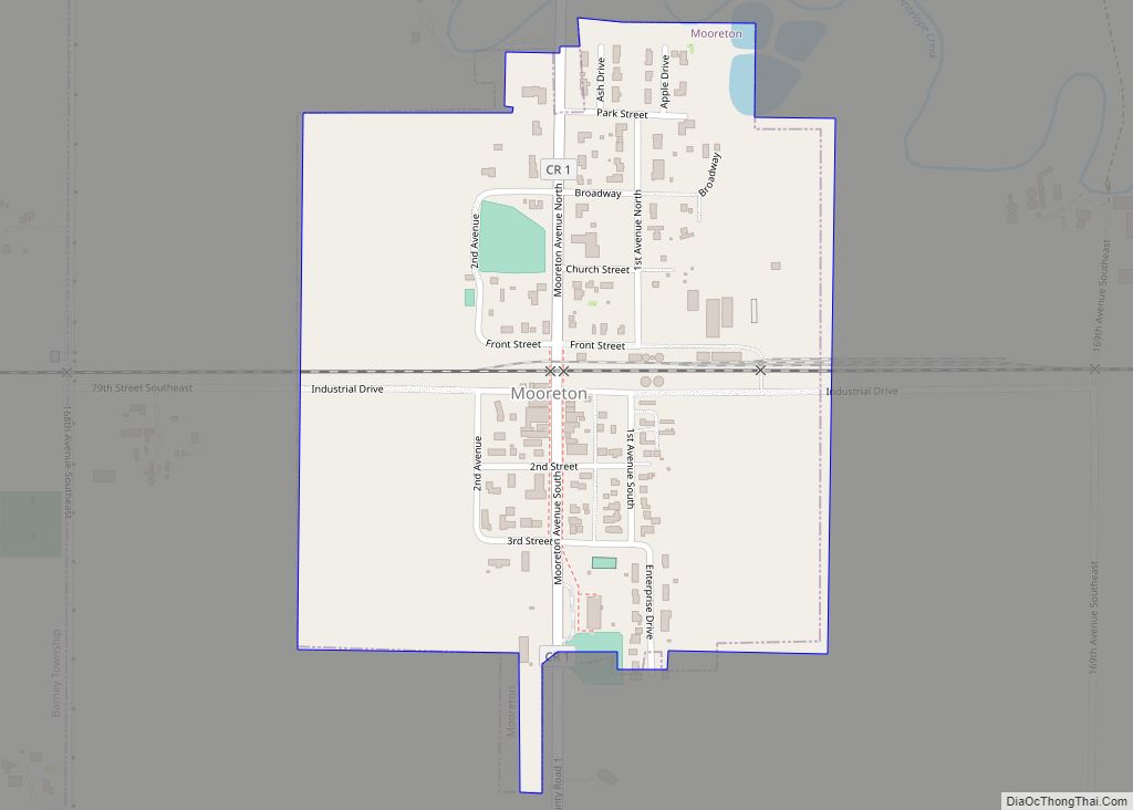
Mooreton is a city in Richland County, North Dakota, United States. The population was 177 at the 2020 census. Mooreton was founded in 1884. It is part of the Wahpeton, ND–MN Micropolitan Statistical Area. Mooreton city overview: Name: Mooreton city LSAD Code: 25 LSAD Description: city (suffix) State: North Dakota County: Richland County Founded: 1884 ... Read more
North Dakota Cities and Places
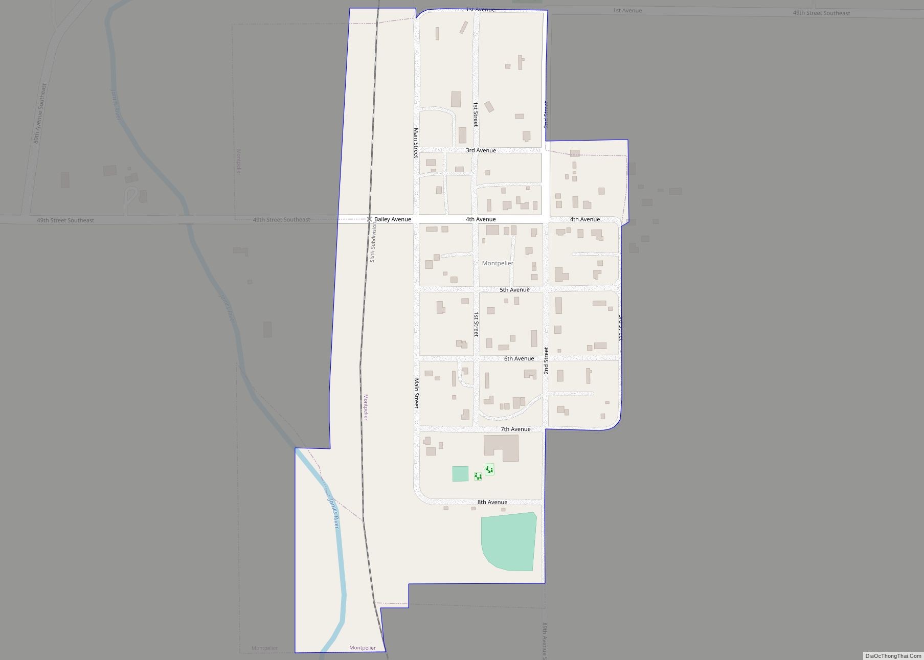
Montpelier is a city in Stutsman County, North Dakota, United States. The population was 85 at the 2020 census. Montpelier was founded in 1885. Montpelier city overview: Name: Montpelier city LSAD Code: 25 LSAD Description: city (suffix) State: North Dakota County: Stutsman County Elevation: 1,365 ft (416 m) Total Area: 0.15 sq mi (0.40 km²) Land Area: 0.15 sq mi (0.40 km²) Water ... Read more
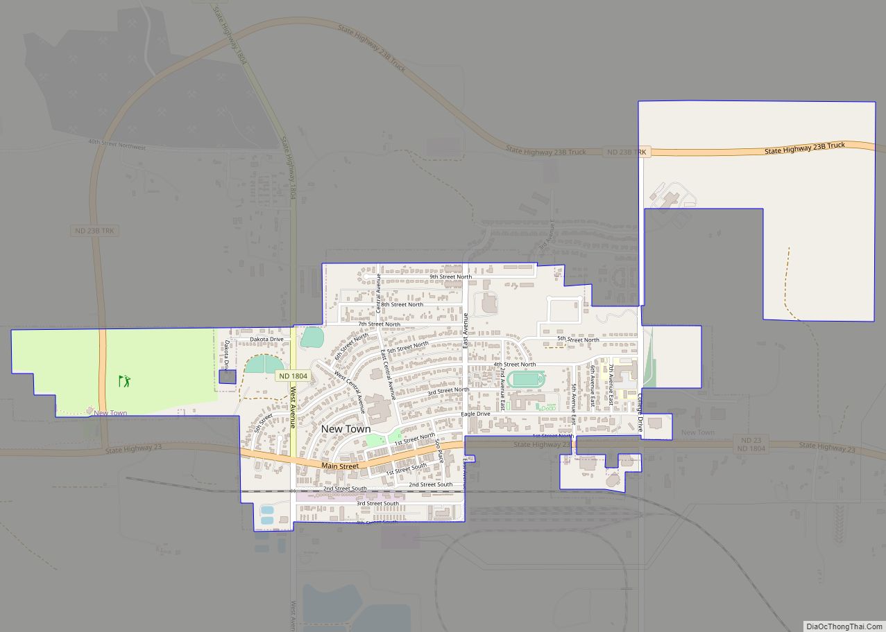
New Town is a city in Mountrail County, North Dakota. The population was 2,764 at the time of the 2020 census, making it the 18th largest city in North Dakota. New Town was platted in 1950 as a replacement site for the residents of Sanish and Van Hook, as these towns were scheduled to be ... Read more
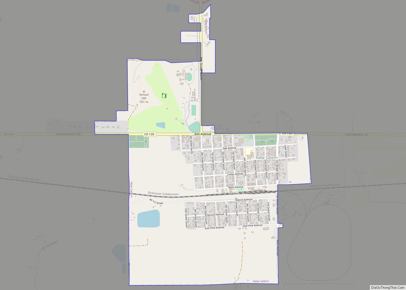
New Salem is a city in Morton County, North Dakota, United States. It is part of the “Bismarck, ND Metropolitan Statistical Area” or “Bismarck-Mandan”. The population was 973 at the 2020 census. New Salem was founded in 1883. New Salem city overview: Name: New Salem city LSAD Code: 25 LSAD Description: city (suffix) State: North ... Read more
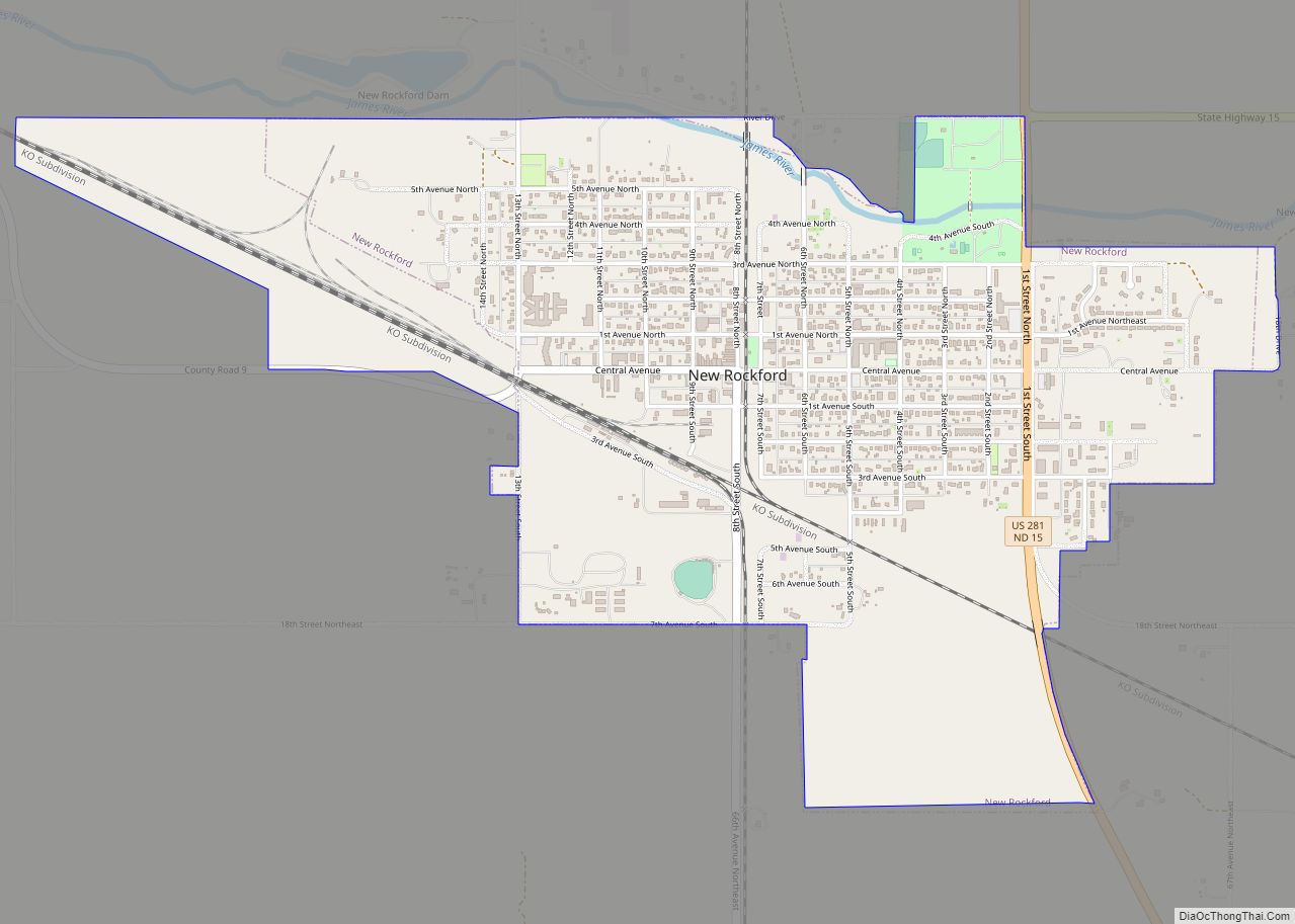
New Rockford is a city in Eddy County, North Dakota, United States. It is the county seat of Eddy County. The population was 1,361 at the 2020 census. New Rockford was founded in 1883. New Rockford city overview: Name: New Rockford city LSAD Code: 25 LSAD Description: city (suffix) State: North Dakota County: Eddy County ... Read more
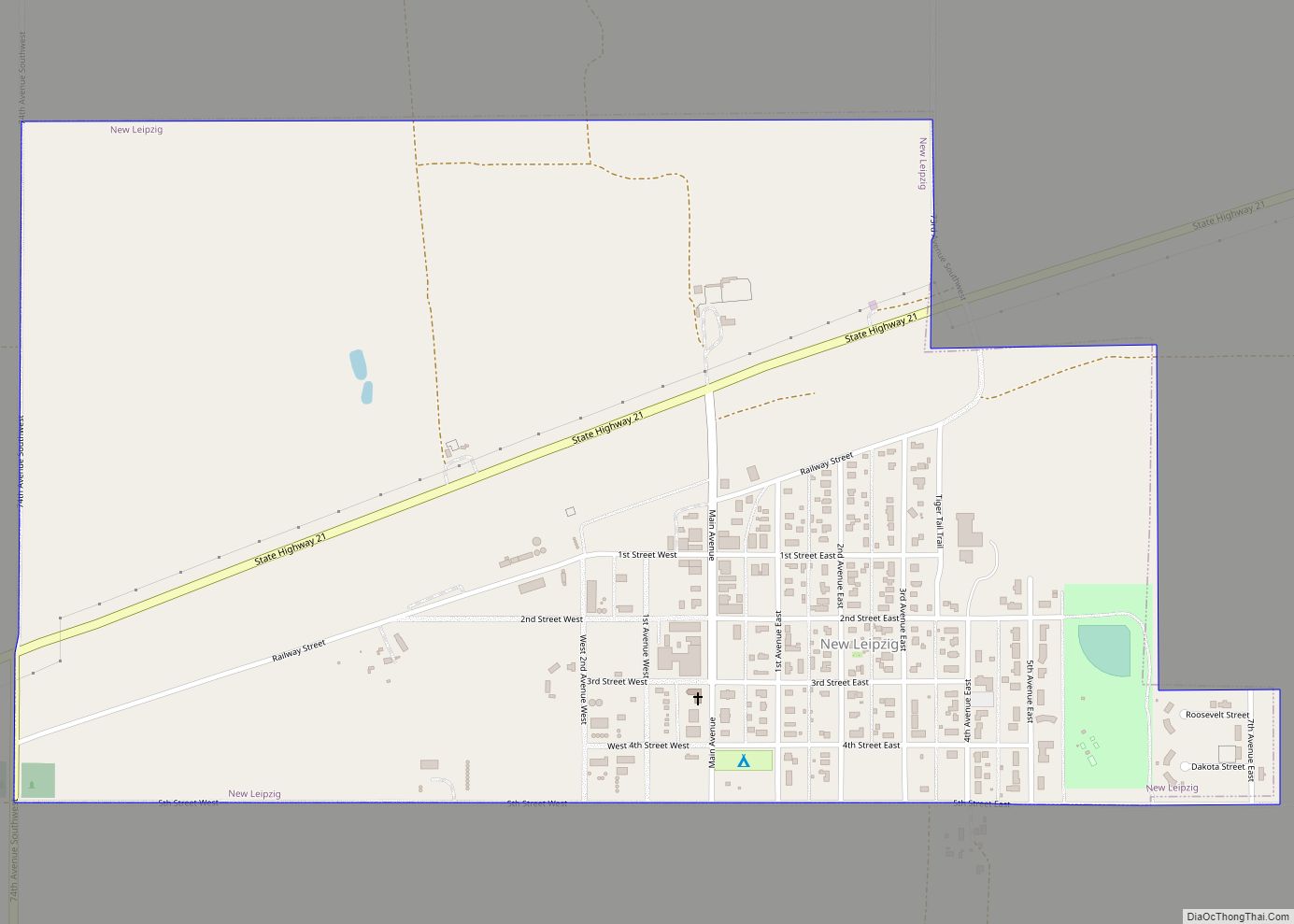
New Leipzig is a city in Grant County, North Dakota, United States. The population was 218 at the 2020 census. New Leipzig city overview: Name: New Leipzig city LSAD Code: 25 LSAD Description: city (suffix) State: North Dakota County: Grant County Founded: 1910 Elevation: 2,346 ft (715 m) Total Area: 0.89 sq mi (2.30 km²) Land Area: 0.89 sq mi (2.30 km²) Water ... Read more
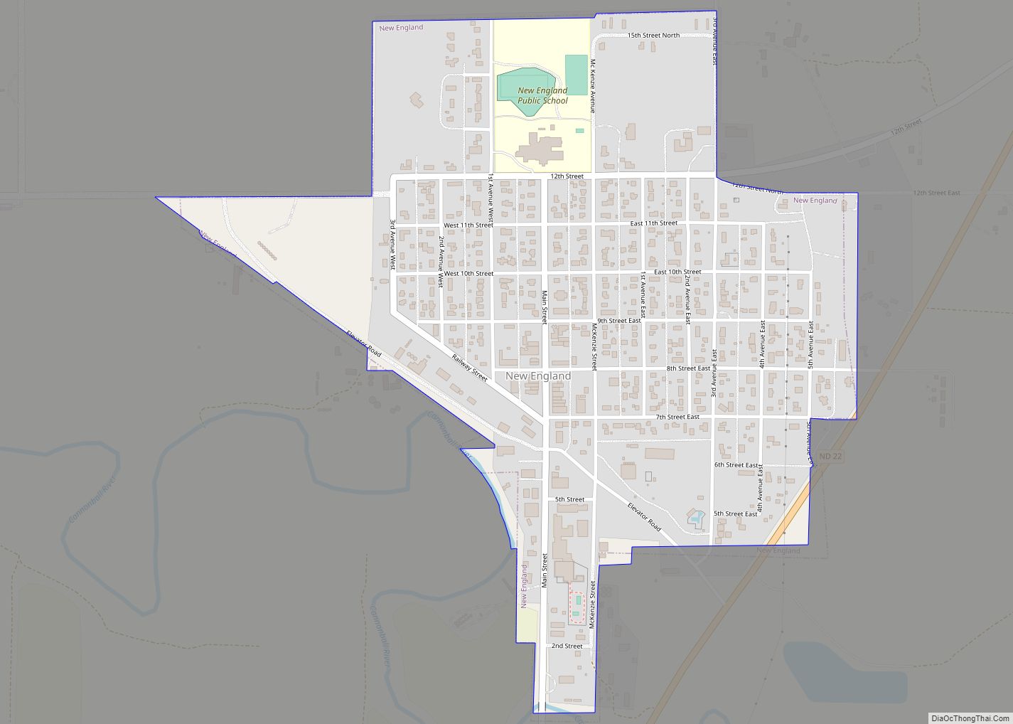
New England is a city in Hettinger County, North Dakota, United States. The population was 683 at the 2020 census. New England was founded in 1887, predating all other settlements in Hettinger County by many years. The name recognizes that many early settlers were from the New England states of Vermont and Massachusetts. Until the ... Read more
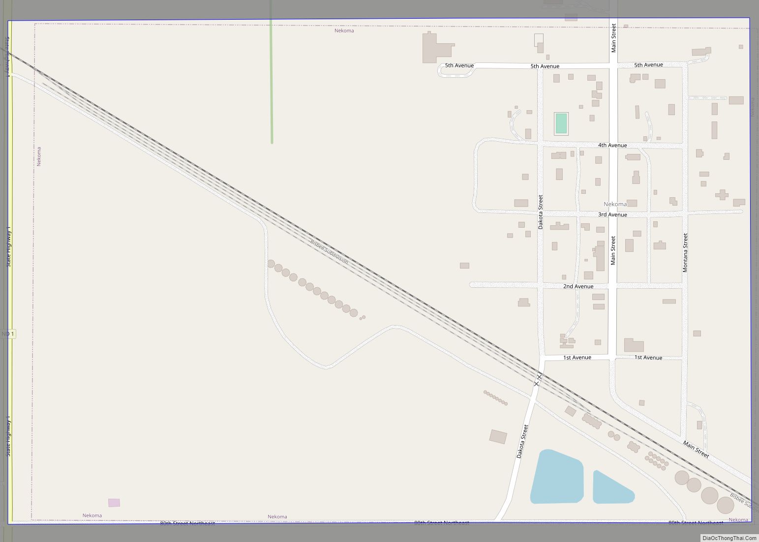
Nekoma is a city in Cavalier County, North Dakota, United States. The population was 31 at the 2020 census. Nekoma was founded in 1905. Nekoma is 15 miles south of Langdon. Of particular interest in Nekoma is the Stanley R. Mickelsen Safeguard Complex, with a large pyramid phased array radar structure visible for miles in ... Read more
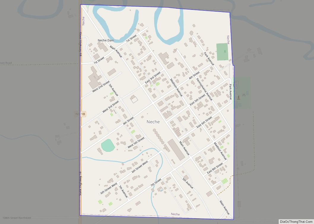
Neche (/ˈnɪtʃiː/ NITCH-ee) is a city in Pembina County, North Dakota, United States. It sits on the banks of the Pembina River. The population was 344 at the 2020 census. Neche city overview: Name: Neche city LSAD Code: 25 LSAD Description: city (suffix) State: North Dakota County: Pembina County Founded: 1882 Elevation: 823 ft (251 m) Total ... Read more
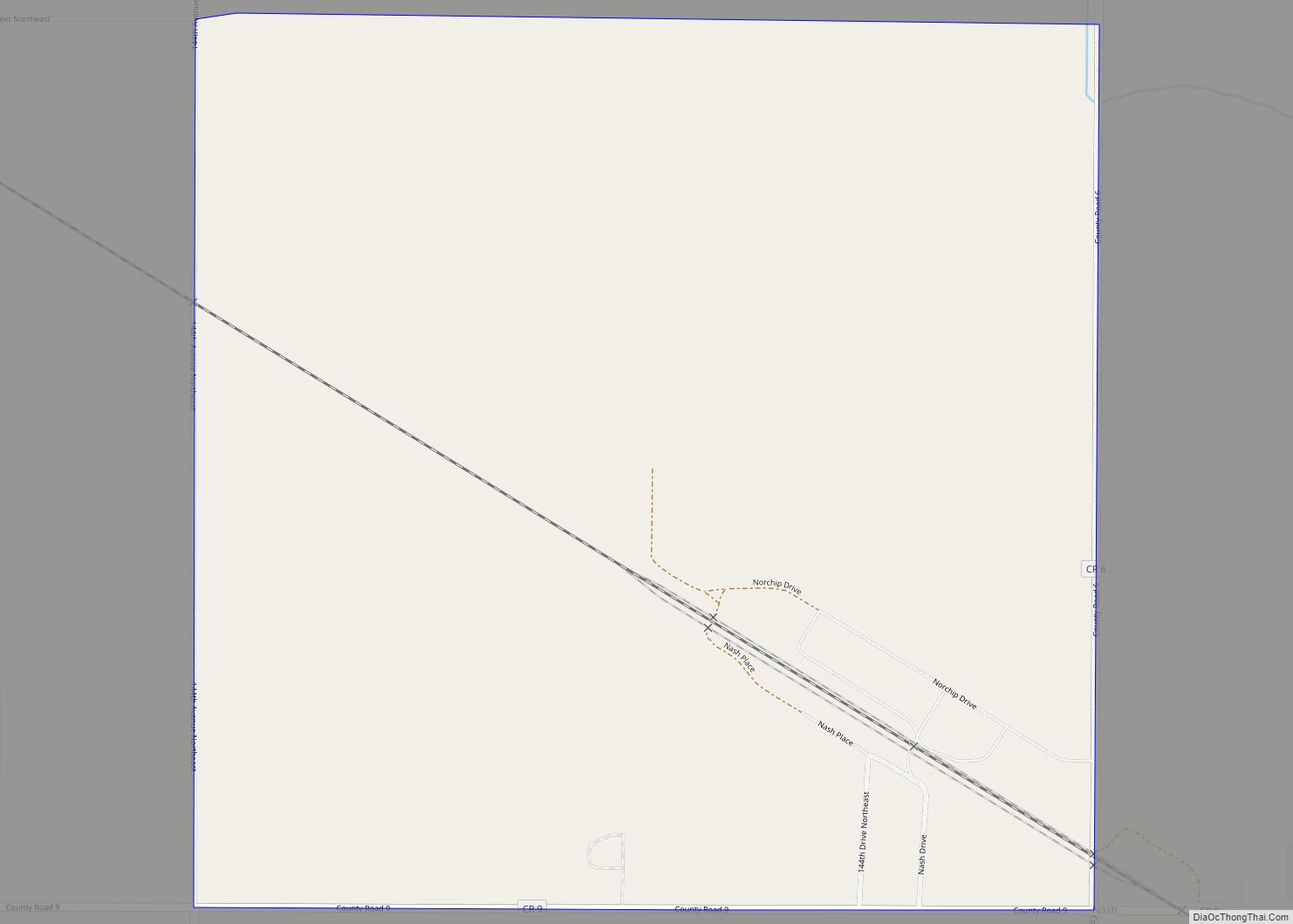
Nash is a census-designated place and unincorporated community in Walsh County, North Dakota, United States. Its population was 32 as of the 2010 census. The unincorporated community is located in Farmington Township, northwest of Grafton. Nash was designated as part of the U.S. Census Bureau’s Participant Statistical Areas Program on March 31, 2010. It was ... Read more
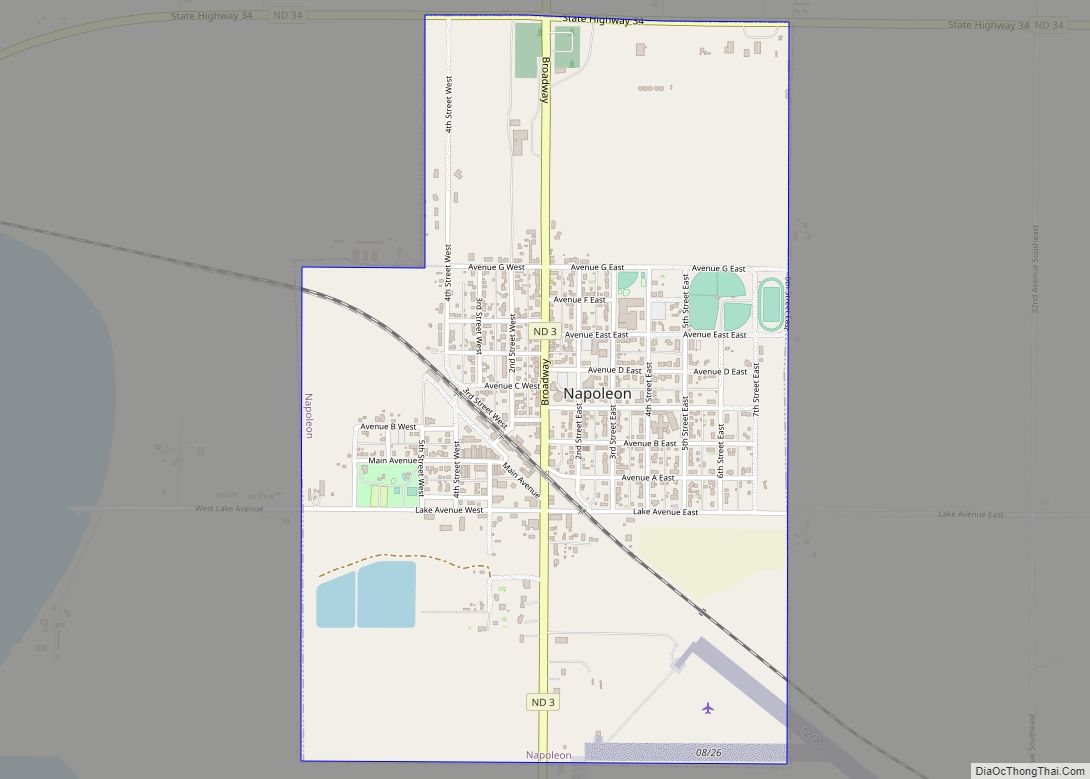
Napoleon is a city in Logan County, North Dakota, United States. It is the county seat of Logan County. The population was 749 at the 2020 census. Napoleon city overview: Name: Napoleon city LSAD Code: 25 LSAD Description: city (suffix) State: North Dakota County: Logan County Founded: 1886 Elevation: 1,959 ft (597 m) Total Area: 1.38 sq mi (3.58 km²) ... Read more
Mylo is a city in Rolette County, North Dakota, United States. The population was 21 at the 2020 census. Mylo city overview: Name: Mylo city LSAD Code: 25 LSAD Description: city (suffix) State: North Dakota County: Rolette County Founded: 1905 Elevation: 1,657 ft (505 m) Total Area: 0.86 sq mi (2.23 km²) Land Area: 0.86 sq mi (2.23 km²) Water Area: 0.00 sq mi (0.00 km²) ... Read more
