New Town is a city in Mountrail County, North Dakota. The population was 2,764 at the time of the 2020 census, making it the 18th largest city in North Dakota. New Town was platted in 1950 as a replacement site for the residents of Sanish and Van Hook, as these towns were scheduled to be flooded by the creation of Lake Sakakawea, a reservoir to provide water for irrigation.
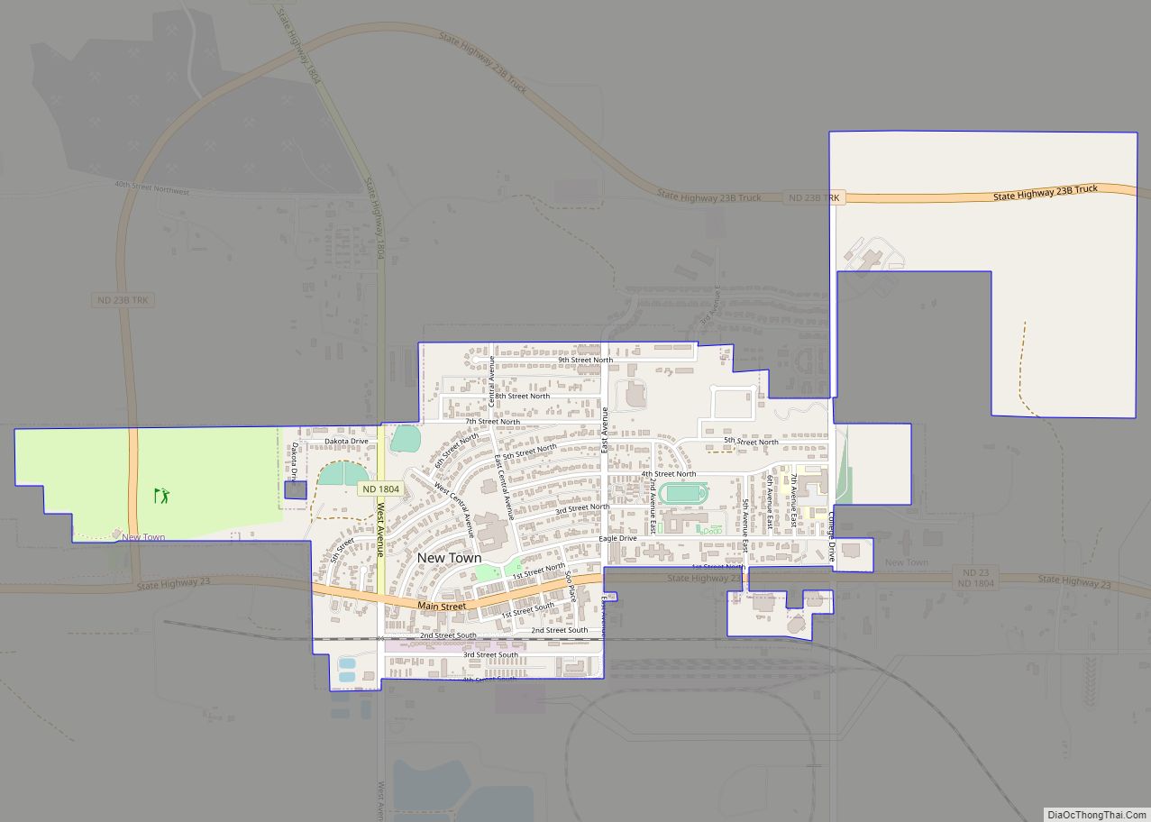
It is the largest city and the administrative center of the Fort Berthold Reservation. New Town is home to Fort Berthold Community College. New Town is located on State Highway 23 at the crossing of Lake Sakakawea by the Four Bears Bridge. The city has recreation for all seasons, including fishing, boating, water skiing, and trails for hiking.
| Name: | New Town city |
|---|---|
| LSAD Code: | 25 |
| LSAD Description: | city (suffix) |
| State: | North Dakota |
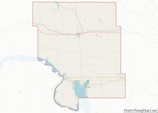
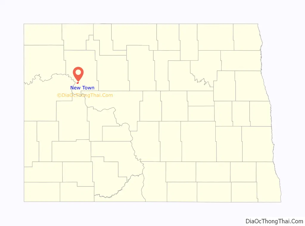
| County: | Mountrail County |
| Elevation: | 1,900 ft (579 m) |
| Total Area: | 2.89 sq mi (7.48 km²) |
| Land Area: | 2.89 sq mi (7.48 km²) |
| Water Area: | 0.00 sq mi (0.00 km²) |
| Total Population: | 2,764 |
| Population Density: | 957.06/sq mi (369.58/km²) |
| ZIP code: | 58763 |
| Area code: | 701 |
| FIPS code: | 3856740 |
| GNISfeature ID: | 1030400 |
| Website: | citynewtownnd.com |
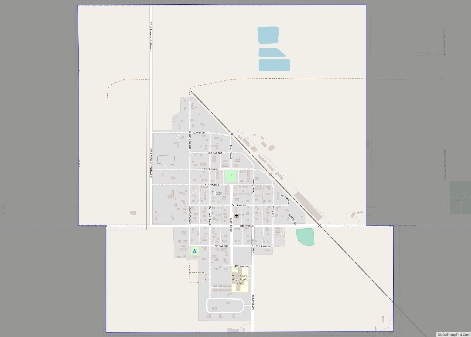
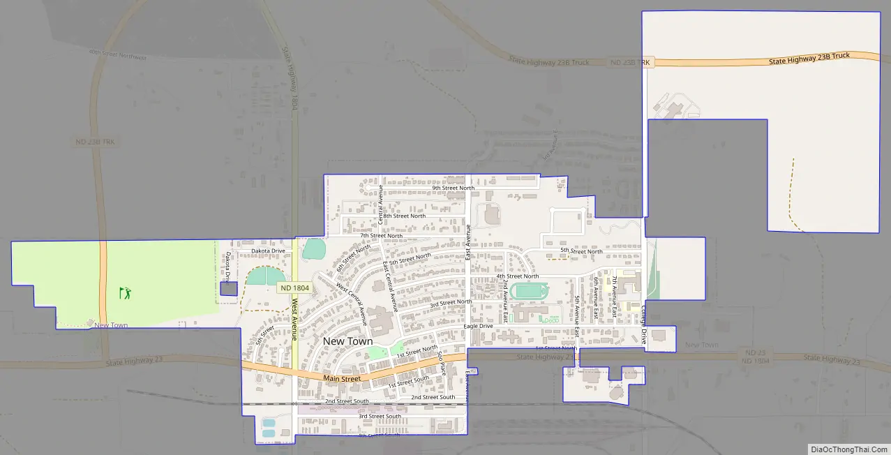
Online Interactive Map
Click on ![]() to view map in "full screen" mode.
to view map in "full screen" mode.
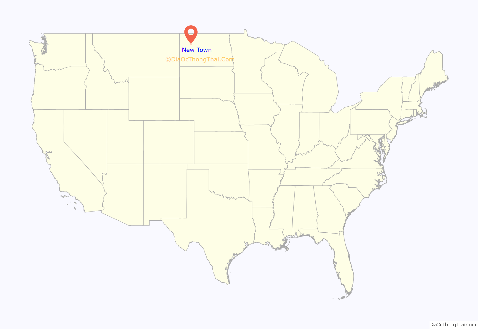
New Town location map. Where is New Town city?
History
In 1944, the United States Congress passed the Flood Control Act of 1944, which authorized the construction of the Garrison Dam. The dam was planned to be the world’s largest rolled-earth filled dam and would create the second-largest reservoir in the world to collect water for irrigation and regional water needs. It would form a lake 200 miles long, 14 miles wide in some places and have roughly 1,500 miles of shoreline. In order to make this dam and reservoir, the towns of Sanish, Elbowoods, Lucky Mound, Shell Creek, Nishu, Charging Eagle, Beaver Creek, Red Butte, Independence, and Van Hook had to be dissolved and the residents relocated before the area was flooded. A total of seven possible sites were inspected before the present site was chosen.
After the site was purchased, plans were quickly developed for the proposed town. With the help of Army engineers, by August 1950, the combined town site was platted. On September 10, 1950, a ground-breaking ceremony and celebration was held at the proposed town site. The official ground-breaking was a furrow cut by a county road grader in what was to become Main Street. The first building set up was for the relocation company. They held an auction to sell off lots in what was called New Town.
Two days later more than sixty percent of the lots had sold. The school was gifted to the town, as were lots for the relocating churches. In November 1952, seventy-four voters went to the polls to elect the first city officials of New Town. On January 1, 1953, the post office was established in the former office of the Relocation Company. Businesses were moved from the surrounding villages, and soon people had to go to New Town for groceries and supplies. The towns were officially dissolved as of April 30, 1953. July 1, 1953 was the deadline given to the residents to be moved out of their respective towns.
In the fall of 1953, school opened for New Town students. The New School was ready in September 1954 and dedicated April 15, 1955. The first scheduled train arrived at New Town on September 22, 1953. By 1955, the town had grown to about 1,400 residents.
The discovery of oil in this part of North Dakota led to the development of oil fields in the vicinity. Many new workers were attracted to the community and, with work on the new bridge, roads, and construction in the town, jobs were plentiful. The bridge across the reservoir was completed in October 1955. It was named Four Bears after two great Indian chiefs, a Mandan and a Hidatsa, who bore the same name.
New Town is home to a statue of cowboy Earl Bunyan, “brother” of fictional lumberjack Paul Bunyan, built in 1953 by New Town resident cowboy Fred LaRocque.
New Town Road Map
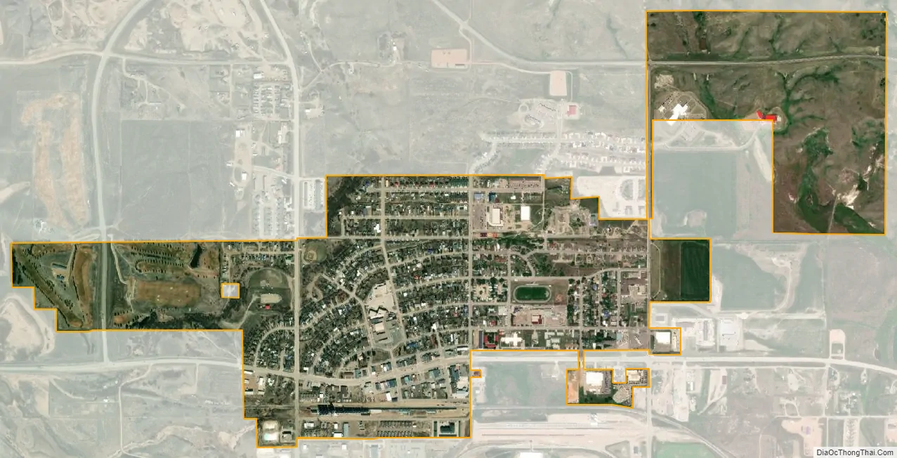
New Town city Satellite Map
See also
Map of North Dakota State and its subdivision:- Adams
- Barnes
- Benson
- Billings
- Bottineau
- Bowman
- Burke
- Burleigh
- Cass
- Cavalier
- Dickey
- Divide
- Dunn
- Eddy
- Emmons
- Foster
- Golden Valley
- Grand Forks
- Grant
- Griggs
- Hettinger
- Kidder
- Lamoure
- Logan
- McHenry
- McIntosh
- McKenzie
- McLean
- Mercer
- Morton
- Mountrail
- Nelson
- Oliver
- Pembina
- Pierce
- Ramsey
- Ransom
- Renville
- Richland
- Rolette
- Sargent
- Sheridan
- Sioux
- Slope
- Stark
- Steele
- Stutsman
- Towner
- Traill
- Walsh
- Ward
- Wells
- Williams
- Alabama
- Alaska
- Arizona
- Arkansas
- California
- Colorado
- Connecticut
- Delaware
- District of Columbia
- Florida
- Georgia
- Hawaii
- Idaho
- Illinois
- Indiana
- Iowa
- Kansas
- Kentucky
- Louisiana
- Maine
- Maryland
- Massachusetts
- Michigan
- Minnesota
- Mississippi
- Missouri
- Montana
- Nebraska
- Nevada
- New Hampshire
- New Jersey
- New Mexico
- New York
- North Carolina
- North Dakota
- Ohio
- Oklahoma
- Oregon
- Pennsylvania
- Rhode Island
- South Carolina
- South Dakota
- Tennessee
- Texas
- Utah
- Vermont
- Virginia
- Washington
- West Virginia
- Wisconsin
- Wyoming