Map of Carson city, North Dakota
Carson is a city in and the county seat of Grant County, North Dakota, United States. The population was 254 at the 2020 census. Carson city overview: Name: Carson city LSAD Code: 25 LSAD Description: city (suffix) State: North Dakota County: Grant County Founded: 1910 Elevation: 2,300 ft (701 m) Total Area: 3.99 sq mi (10.34 km²) Land Area: 3.99 sq mi ... Read more
Map of Carson city, North Dakota
Map of Carrington city
Carrington is a city in Foster County, North Dakota, United States. It is the county seat of Foster County. A part of Carrington Township and Wyard Township The population was 2,080 at the 2020 census. Carrington was founded in 1883. Carrington is home to Dakota Growers Pasta Company, Inc. Carrington city overview: Name: Carrington city ... Read more
Map of Carrington city
Map of Carpio city
Carpio is a city in Ward County, North Dakota, United States. The population was 144 at the 2020 census. It is part of the Minot Micropolitan Statistical Area. Carpio was founded in 1898. It is commonly believed that the town was named after the first post office which operated out of a railcar – hence ... Read more
Map of Carpio city
Map of Canton City (Hensel) city
Canton City, also known as Hensel, is a town located on the east edge of Park Township in Pembina County, North Dakota, United States. The population was 31 at the 2020 census. The city was founded as Canton Village in 1882. The post office was relocated from a location named Hensel a short distance away, ... Read more
Map of Canton City (Hensel) city
Map of Cannon Ball CDP
Cannon Ball is a census-designated place (CDP) on the Standing Rock Indian Reservation and in Sioux County, North Dakota, United States. It is located in the northeastern part of Sioux County, having developed at the confluence of the Cannonball River and Lake Oahe of the Missouri River. The population was 875 at the 2010 census. ... Read more
Map of Cannon Ball CDP
Map of Cando city
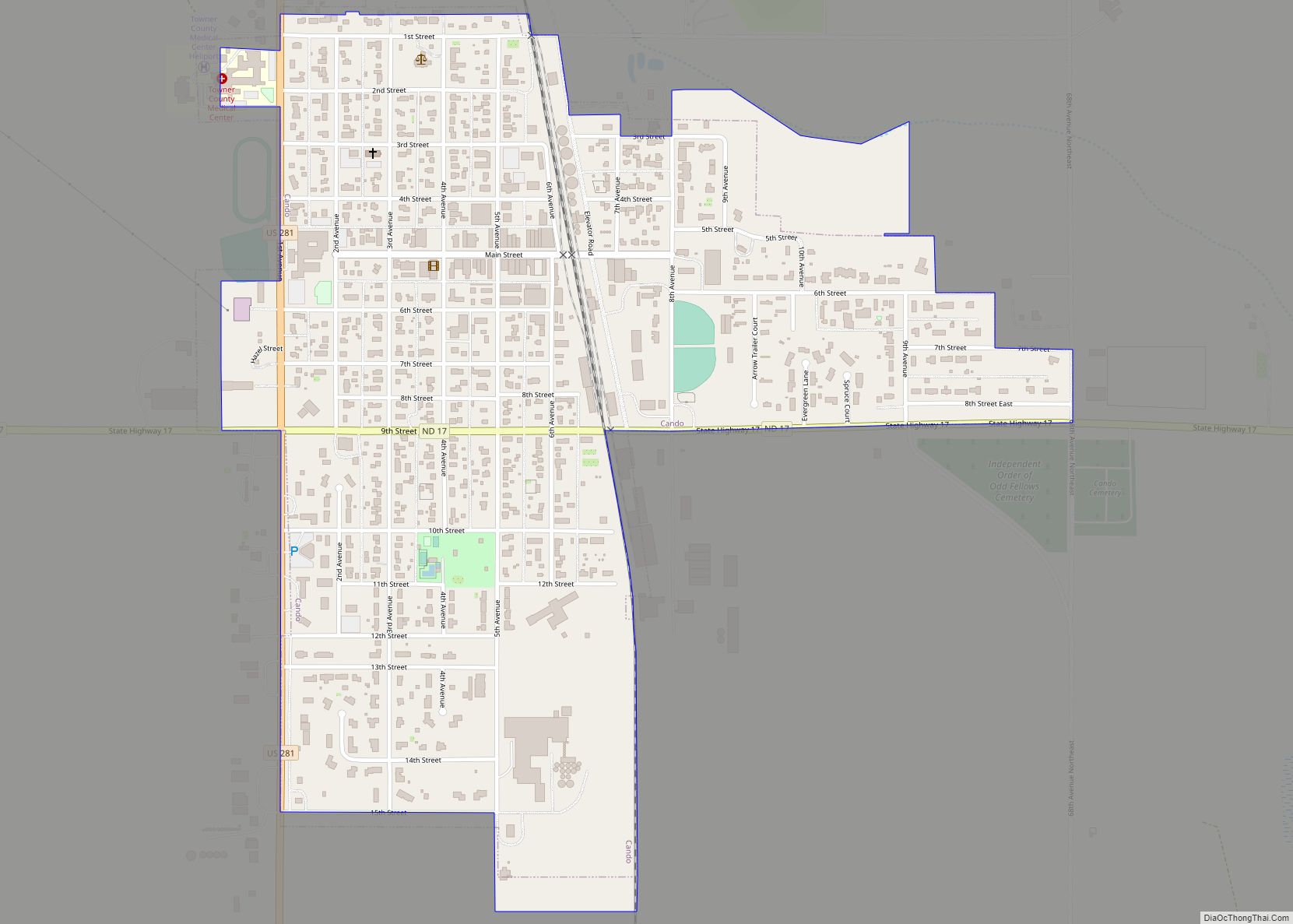
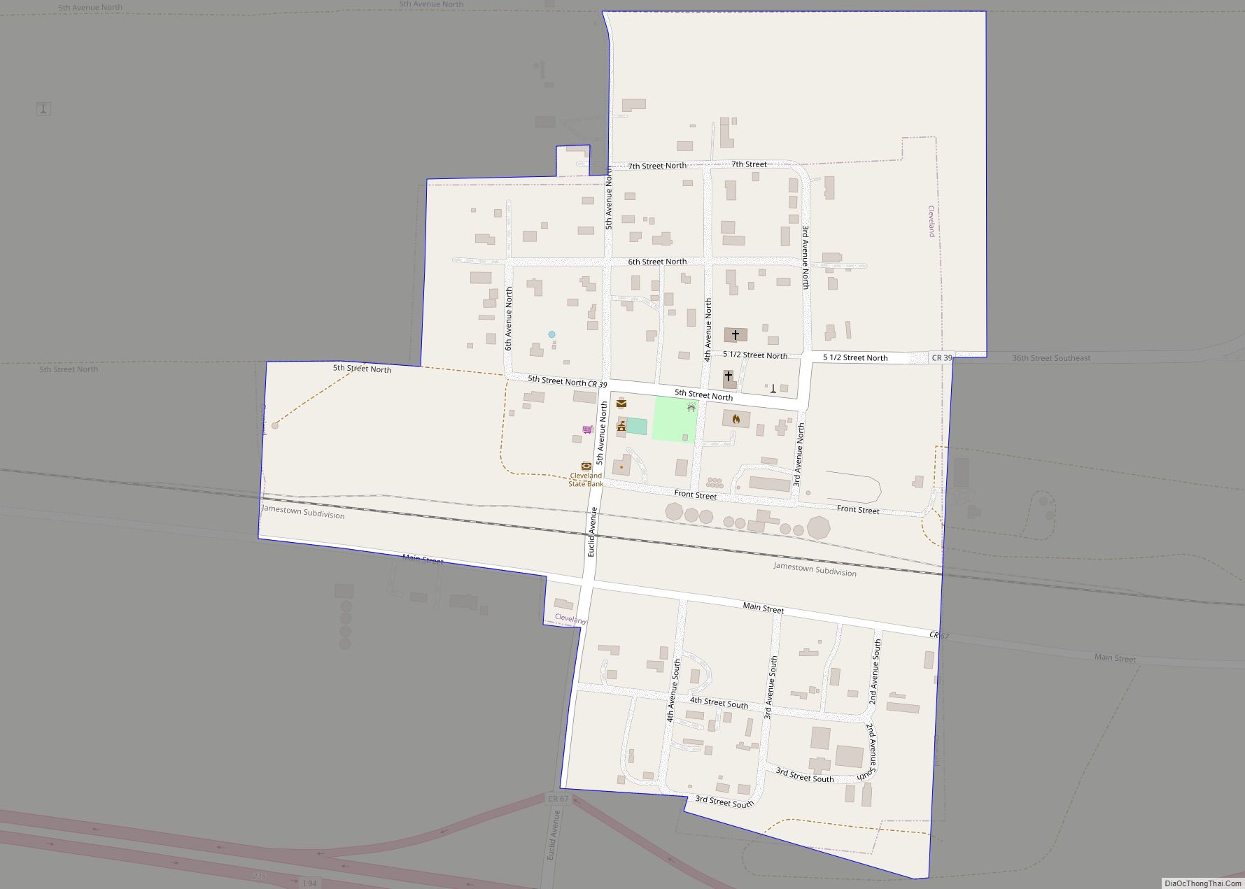
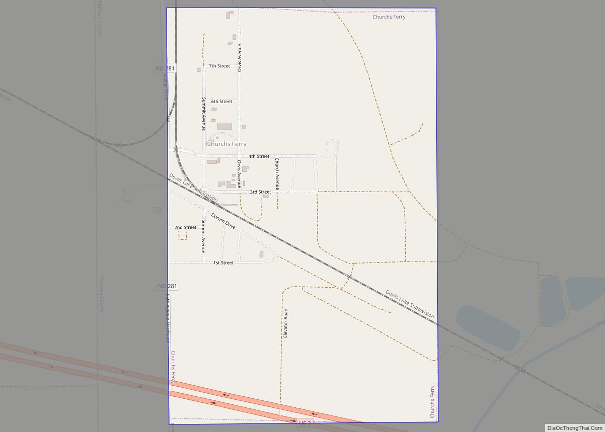
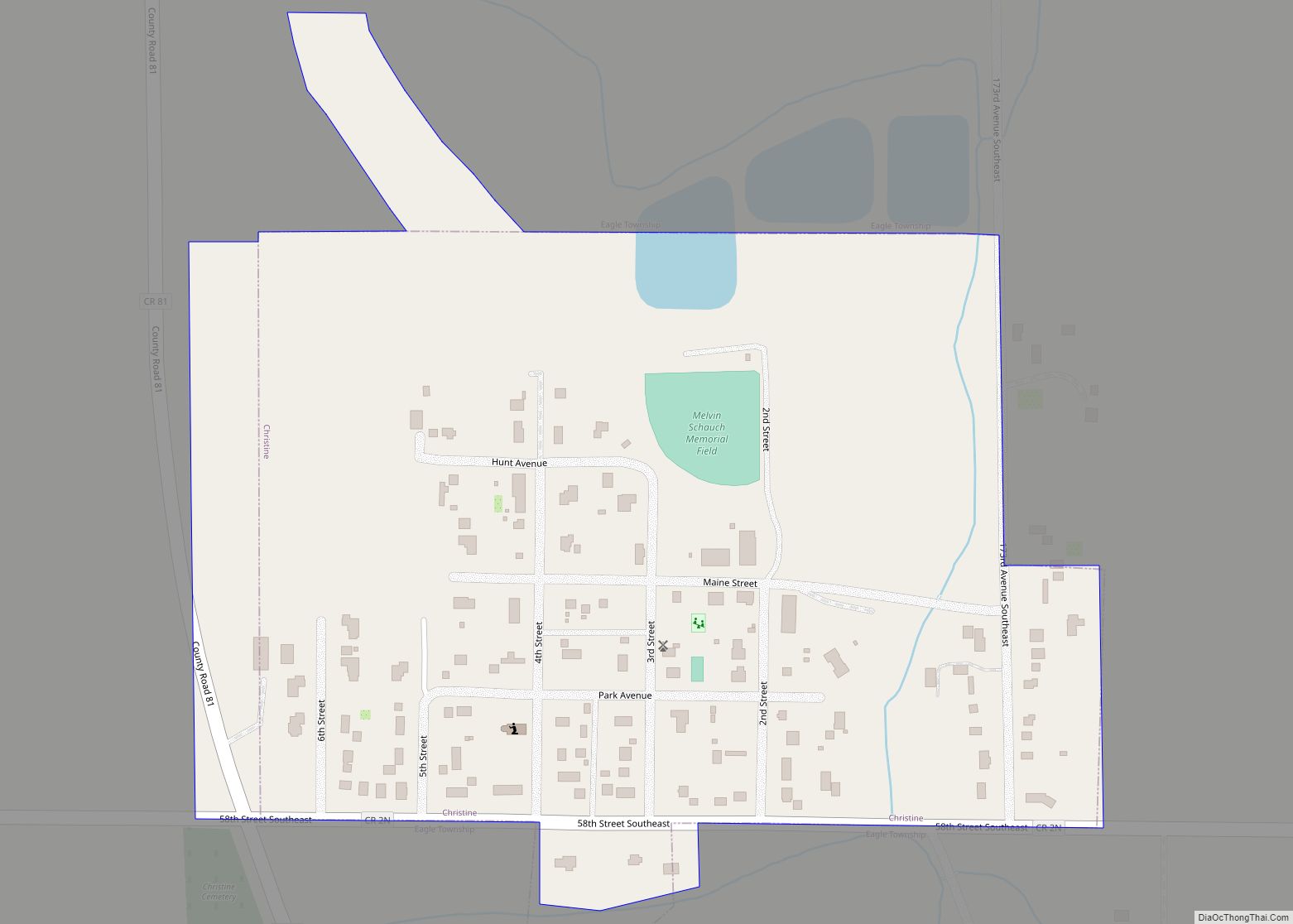
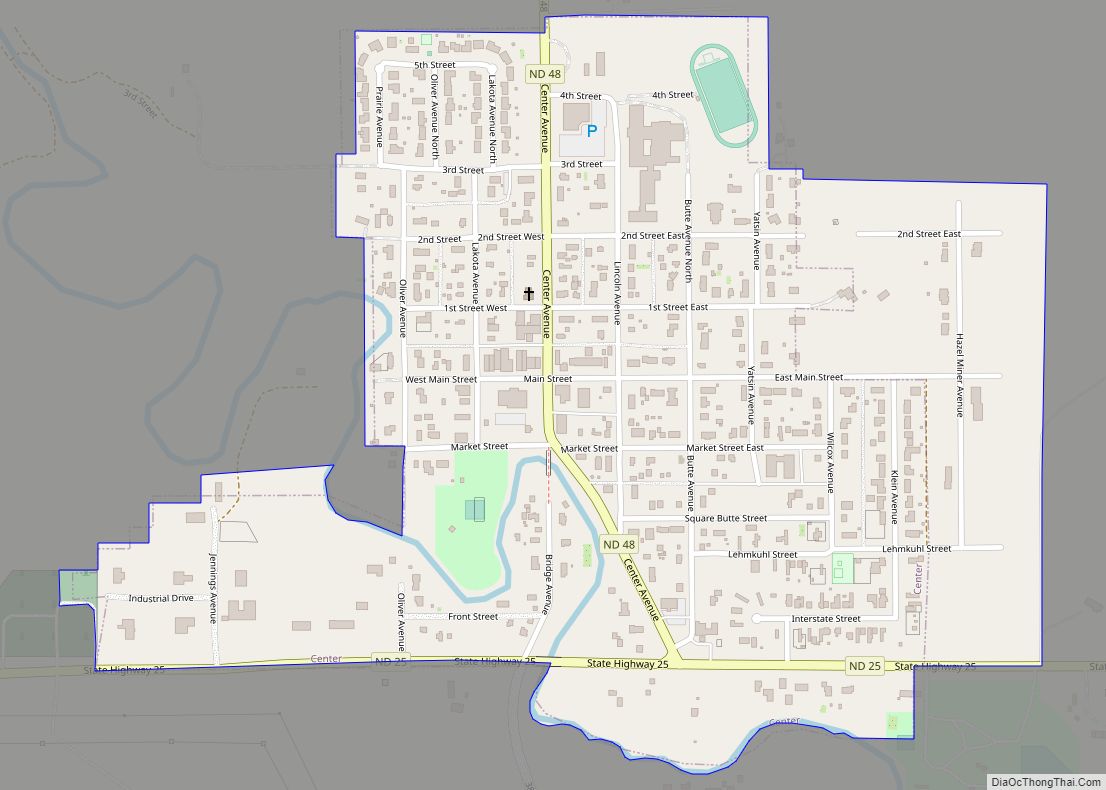
Cando (/ˈkænduː/ KAN-doo) is a city in Towner County, North Dakota, United States. It is the county seat of Towner County. The population was 1,117 at the 2020 census. Cando was founded in 1884. Cando city overview: Name: Cando city LSAD Code: 25 LSAD Description: city (suffix) State: North Dakota County: Towner County Founded: 1884 ... Read more
Map of Cando city
Map of Cogswell city
Cogswell is a city in Sargent County, North Dakota, United States. The population was 73 at the 2020 census. Cogswell was founded in 1890. Cogswell city overview: Name: Cogswell city LSAD Code: 25 LSAD Description: city (suffix) State: North Dakota County: Sargent County Founded: 1890 Elevation: 1,302 ft (397 m) Total Area: 0.33 sq mi (0.85 km²) Land Area: 0.33 sq mi ... Read more
Map of Cogswell city
Map of Clifford city, North Dakota
Clifford is a city in Traill County, North Dakota, United States. The population was 44 at the 2010 census. Clifford was founded in 1883. Clifford city overview: Name: Clifford city LSAD Code: 25 LSAD Description: city (suffix) State: North Dakota County: Traill County Founded: 1883 Elevation: 1,056 ft (322 m) Total Area: 0.14 sq mi (0.36 km²) Land Area: 0.14 sq mi ... Read more
Map of Clifford city, North Dakota
Map of Cleveland city, North Dakota
Cleveland is a city in Stutsman County, North Dakota, United States. The population was 57 at the 2020 census. Cleveland city overview: Name: Cleveland city LSAD Code: 25 LSAD Description: city (suffix) State: North Dakota County: Stutsman County Elevation: 1,864 ft (568 m) Total Area: 0.21 sq mi (0.55 km²) Land Area: 0.21 sq mi (0.55 km²) Water Area: 0.00 sq mi (0.00 km²) Total Population: ... Read more
Map of Cleveland city, North Dakota
Map of Churchs Ferry city
Churchs Ferry is an unincorporated community in Ramsey County, North Dakota, United States that has been impacted by the expansion of nearby Devils Lake. The population was 9 at the 2020 census. Churchs Ferry was a city from its founding in 1883 until September 2022 when the town unincorporated and was turned over to Ramsey ... Read more
Map of Churchs Ferry city
Map of Christine city, North Dakota
Christine is a city in Richland County, North Dakota, United States. The population was 151 at the 2020 census. Christine was founded in 1883. It is part of the Wahpeton, ND–MN Micropolitan Statistical Area. Christine city overview: Name: Christine city LSAD Code: 25 LSAD Description: city (suffix) State: North Dakota County: Richland County Founded: 1883 ... Read more
Map of Christine city, North Dakota
Map of Center city, North Dakota
Center is a city in Oliver County, North Dakota, United States. It is the county seat of, and the only incorporated place in, Oliver County. The population was 588 at the 2020 census. Center city overview: Name: Center city LSAD Code: 25 LSAD Description: city (suffix) State: North Dakota County: Oliver County Founded: 1902 Elevation: ... Read more
Map of Center city, North Dakota