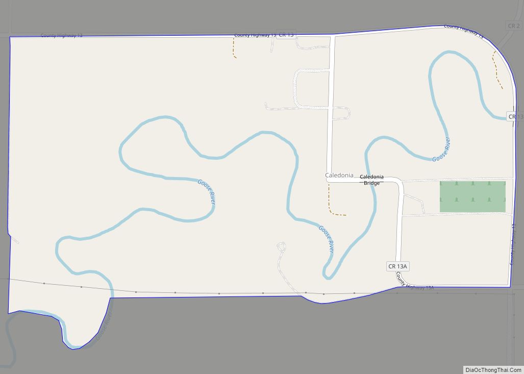
Caledonia is a census-designated place in Traill County, North Dakota, United States. A former boomtown of the 1870s and the era of the Hudson’s Bay Company steamship trade, the community has now all but virtually disappeared.
An unincorporated community, it was designated as part of the U.S. Census Bureau’s Participant Statistical Areas Program on March 31, 2010. It was not counted separately during the 2000 Census, but was included in the 2010 Census, where a population of 39 was reported.
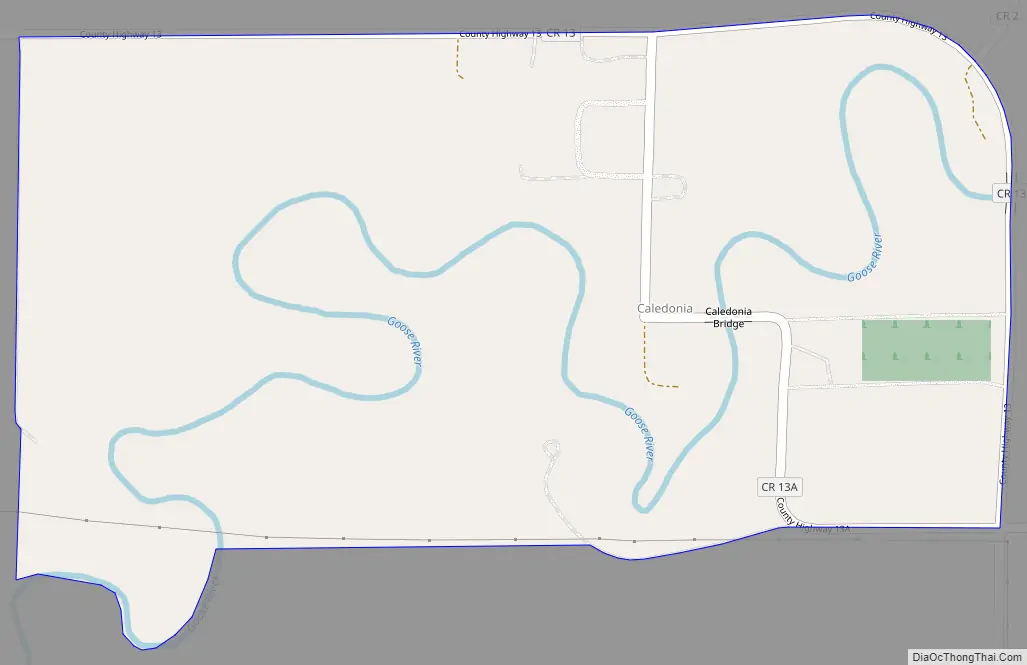
| Name: | Caledonia CDP |
|---|---|
| LSAD Code: | 57 |
| LSAD Description: | CDP (suffix) |
| State: | North Dakota |
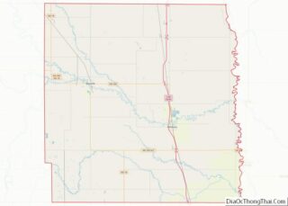
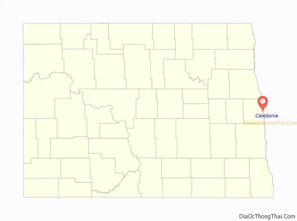
| County: | Traill County |
| Elevation: | 856 ft (261 m) |
| Total Area: | 0.52 sq mi (1.35 km²) |
| Land Area: | 0.52 sq mi (1.35 km²) |
| Water Area: | 0.00 sq mi (0.00 km²) |
| Total Population: | 37 |
| Population Density: | 71.29/sq mi (27.50/km²) |
| ZIP code: | 58219 |
| Area code: | 701 |
| FIPS code: | 3811500 |
| GNISfeature ID: | 2584338 |
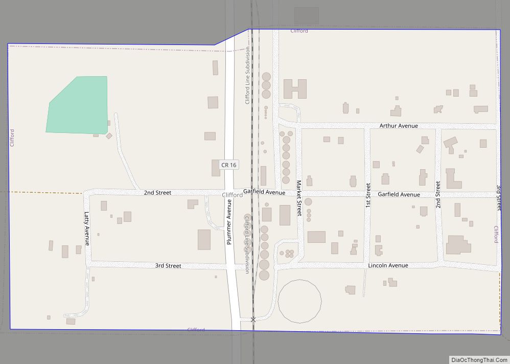
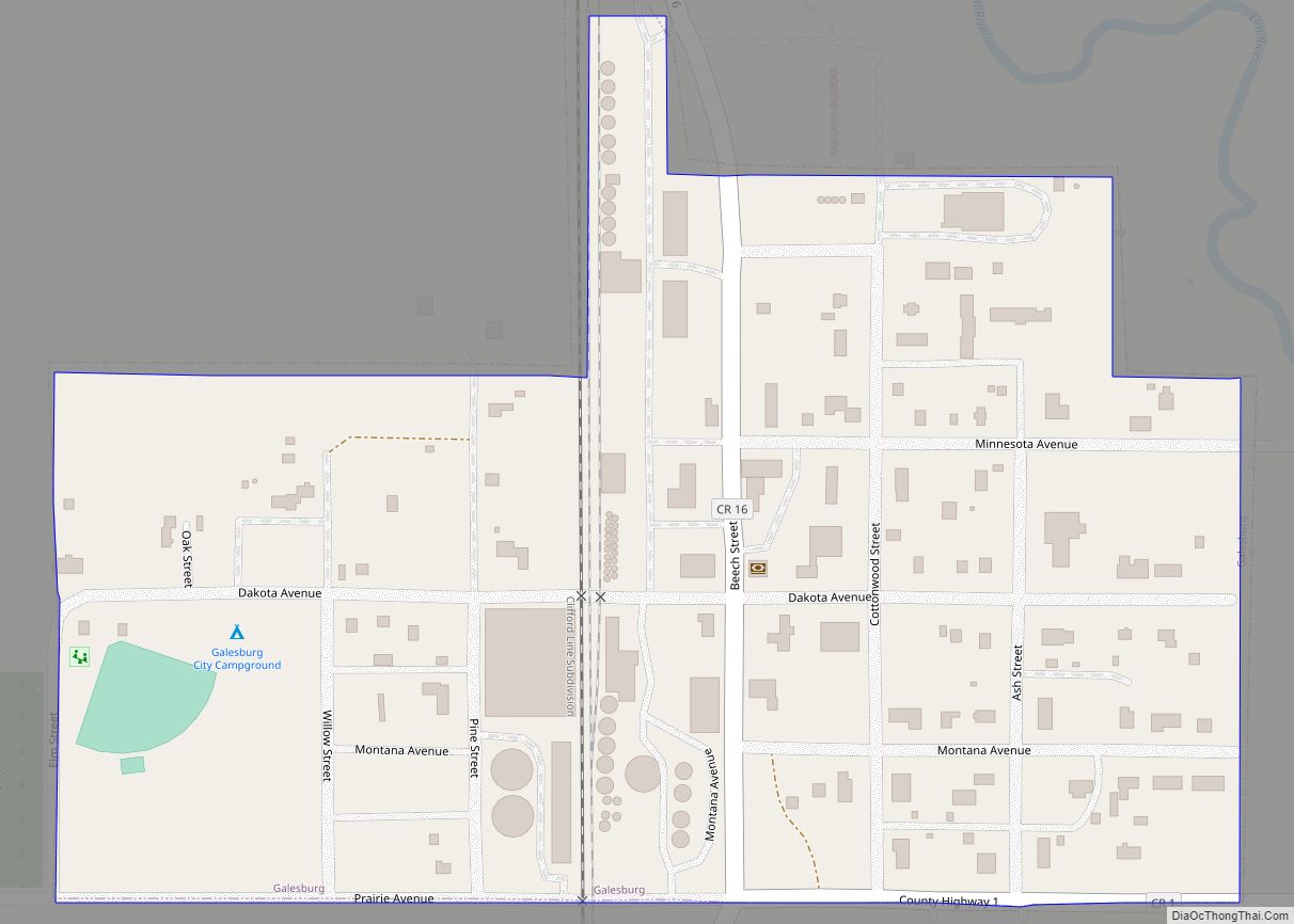
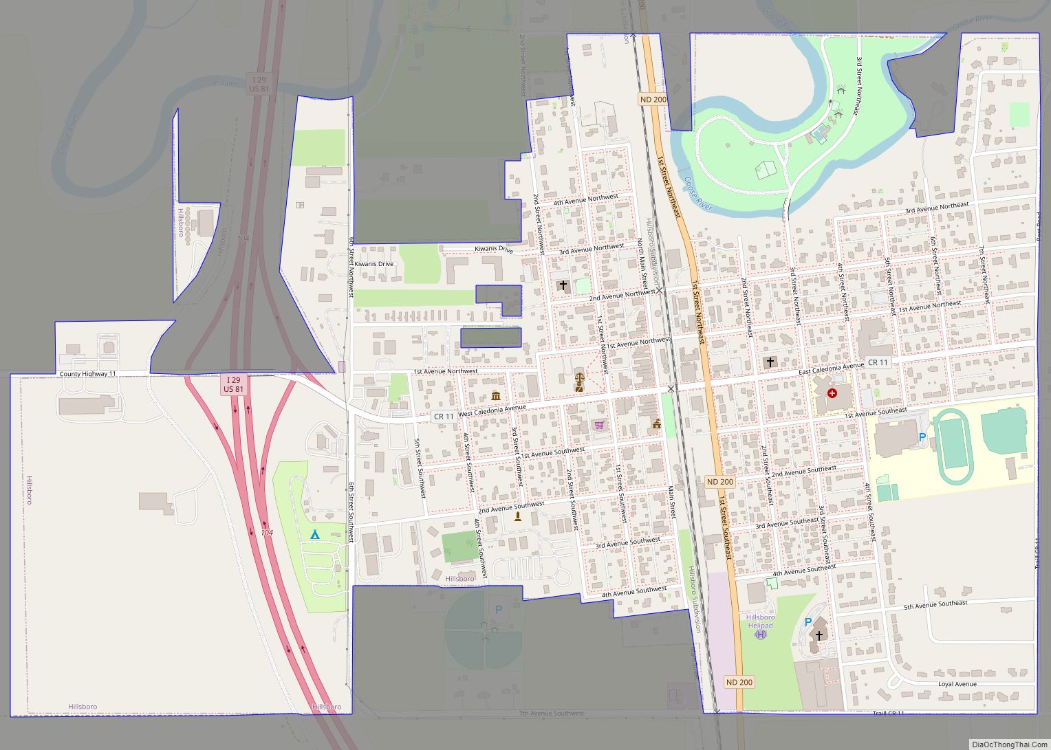
Online Interactive Map
Click on ![]() to view map in "full screen" mode.
to view map in "full screen" mode.
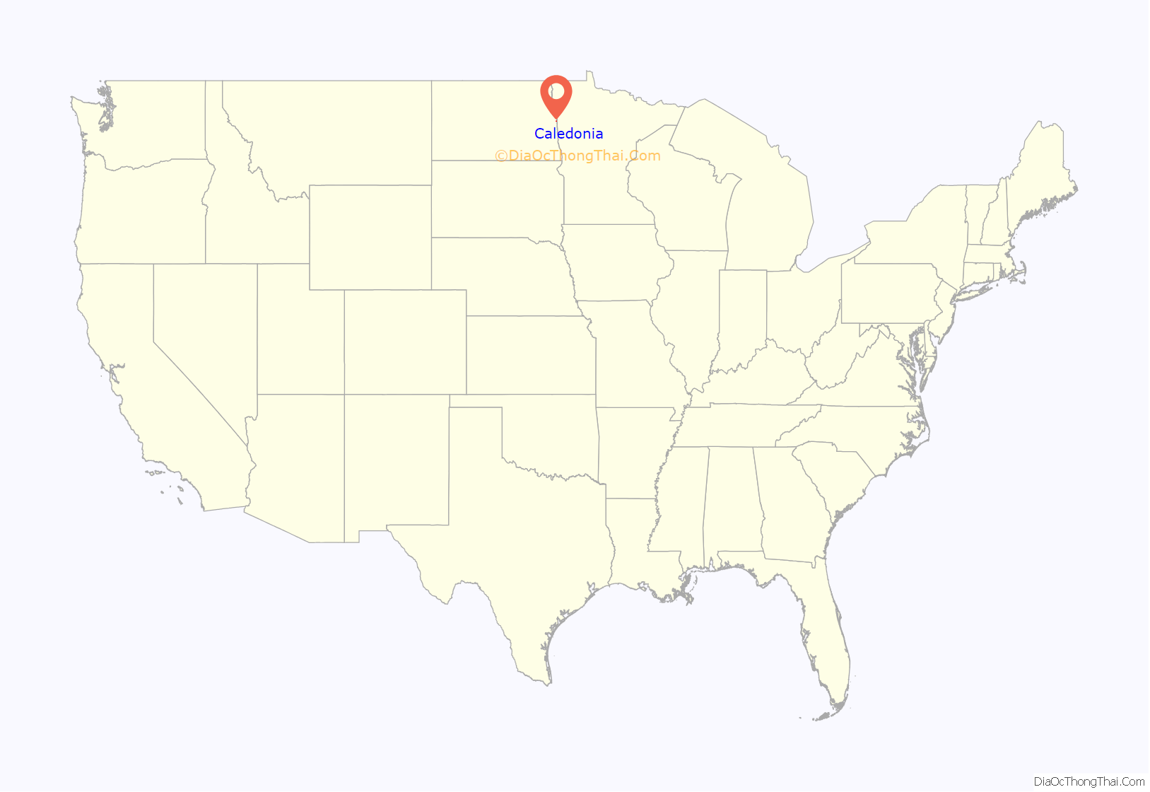
Caledonia location map. Where is Caledonia CDP?
History
First called Goose River, the community was established as a post for the Hudson’s Bay Company steamships which operated on the Red River of the North. Caledonia became an early boom town in the Red River Valley and also became a post for a stagecoach line which lead north to Fort Garry — now called Winnipeg. Upon the creation of Traill County in 1875, Caledonia was designated as the county seat. However, in that same year, the Hudson’s Bay Company closed their U.S. posts including the one at Caledonia. When James J. Hill’s railroad crossed Traill County, it bypassed Caledonia. The steamboat industry soon floundered and the county seat was moved to Hillsboro in 1896.
Caledonia Road Map
Caledonia city Satellite Map

Geography
Caledonia sits on the banks of the Goose River near the confluence with the Red River of the North.
See also
Map of North Dakota State and its subdivision:- Adams
- Barnes
- Benson
- Billings
- Bottineau
- Bowman
- Burke
- Burleigh
- Cass
- Cavalier
- Dickey
- Divide
- Dunn
- Eddy
- Emmons
- Foster
- Golden Valley
- Grand Forks
- Grant
- Griggs
- Hettinger
- Kidder
- Lamoure
- Logan
- McHenry
- McIntosh
- McKenzie
- McLean
- Mercer
- Morton
- Mountrail
- Nelson
- Oliver
- Pembina
- Pierce
- Ramsey
- Ransom
- Renville
- Richland
- Rolette
- Sargent
- Sheridan
- Sioux
- Slope
- Stark
- Steele
- Stutsman
- Towner
- Traill
- Walsh
- Ward
- Wells
- Williams
- Alabama
- Alaska
- Arizona
- Arkansas
- California
- Colorado
- Connecticut
- Delaware
- District of Columbia
- Florida
- Georgia
- Hawaii
- Idaho
- Illinois
- Indiana
- Iowa
- Kansas
- Kentucky
- Louisiana
- Maine
- Maryland
- Massachusetts
- Michigan
- Minnesota
- Mississippi
- Missouri
- Montana
- Nebraska
- Nevada
- New Hampshire
- New Jersey
- New Mexico
- New York
- North Carolina
- North Dakota
- Ohio
- Oklahoma
- Oregon
- Pennsylvania
- Rhode Island
- South Carolina
- South Dakota
- Tennessee
- Texas
- Utah
- Vermont
- Virginia
- Washington
- West Virginia
- Wisconsin
- Wyoming