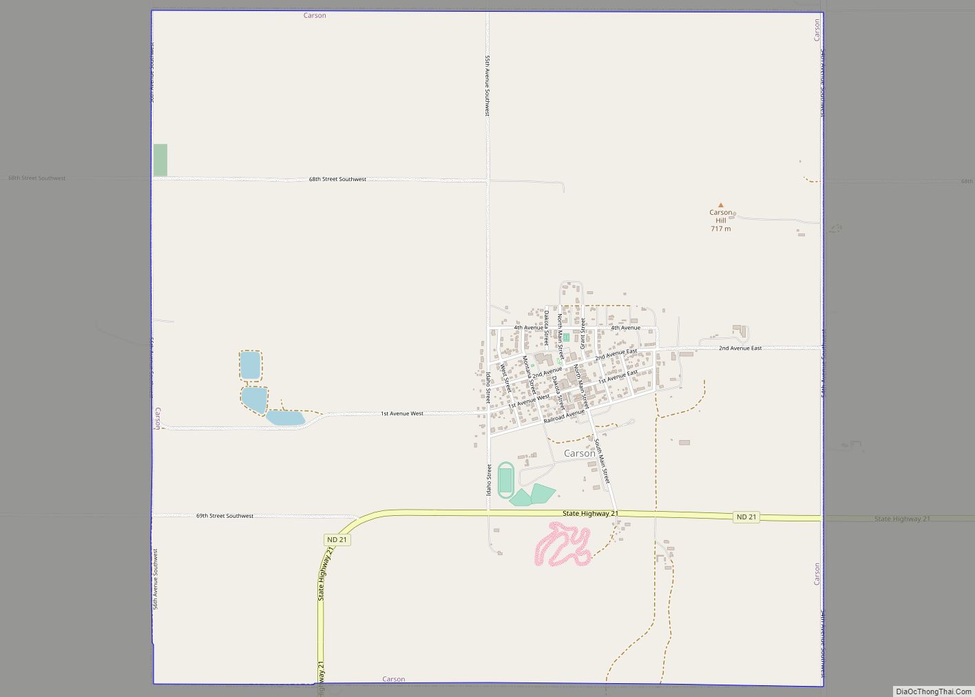
Carson is a city in and the county seat of Grant County, North Dakota, United States. The population was 254 at the 2020 census.
| Name: | Carson city |
|---|---|
| LSAD Code: | 25 |
| LSAD Description: | city (suffix) |
| State: | North Dakota |
| County: | Grant County |
| Founded: | 1910 |
| Elevation: | 2,300 ft (701 m) |
| Total Area: | 3.99 sq mi (10.34 km²) |
| Land Area: | 3.99 sq mi (10.34 km²) |
| Water Area: | 0.00 sq mi (0.00 km²) |
| Total Population: | 254 |
| Population Density: | 63.64/sq mi (24.57/km²) |
| ZIP code: | 58529 |
| Area code: | 701 |
| FIPS code: | 3812460 |
| GNISfeature ID: | 1028290 |
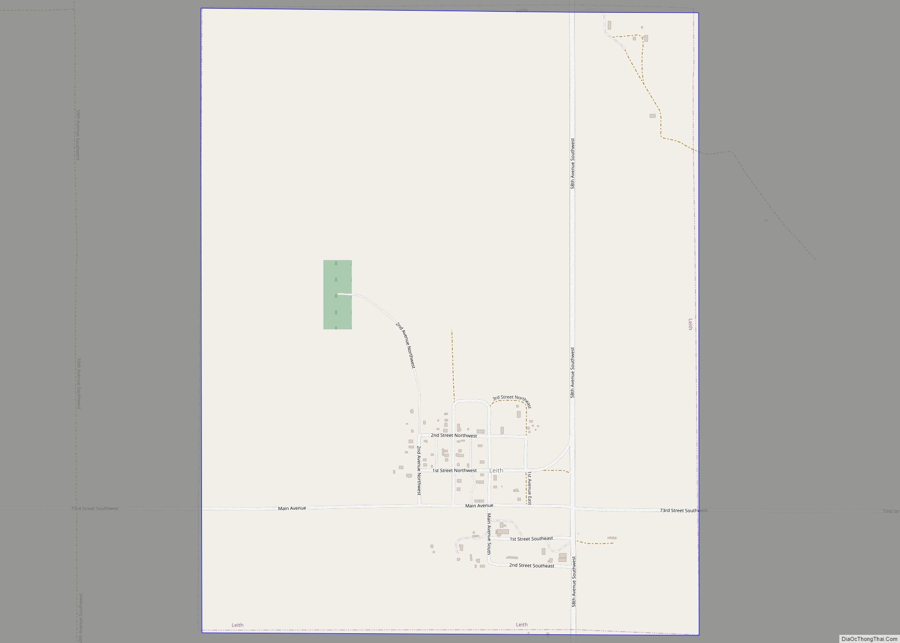
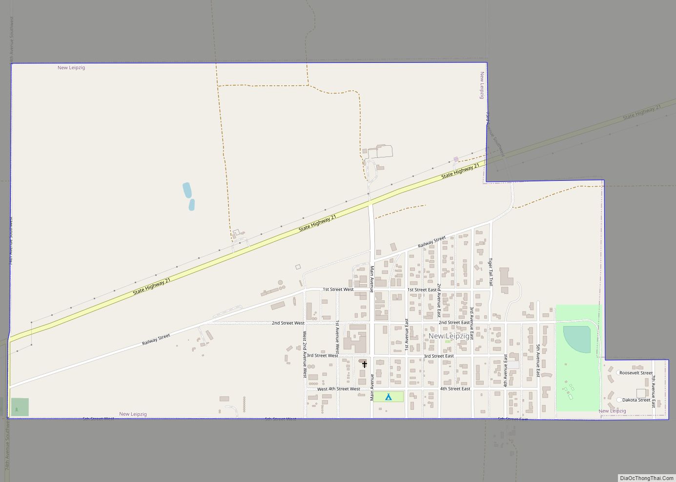
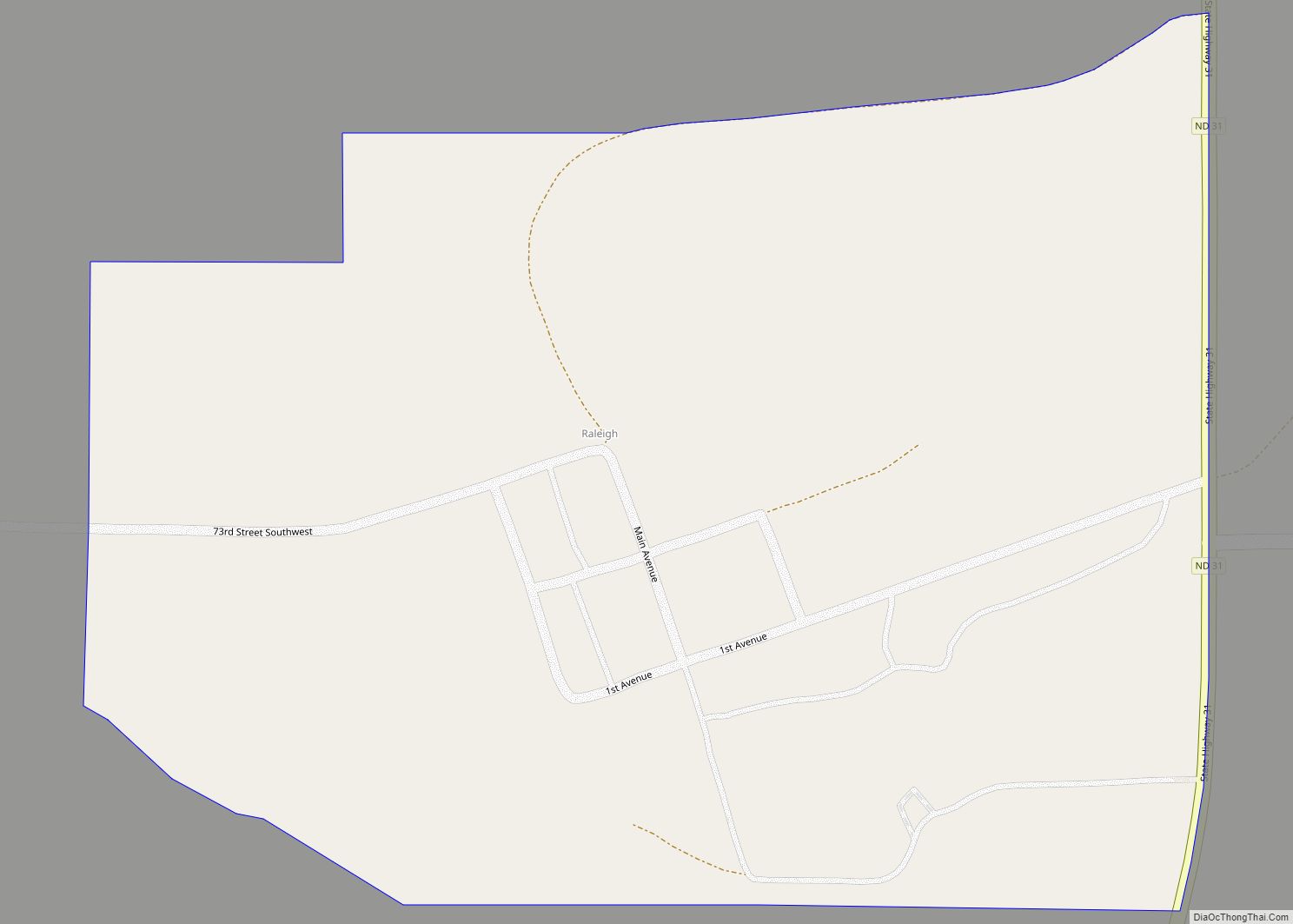
Online Interactive Map
Click on ![]() to view map in "full screen" mode.
to view map in "full screen" mode.
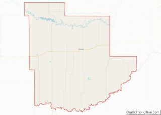
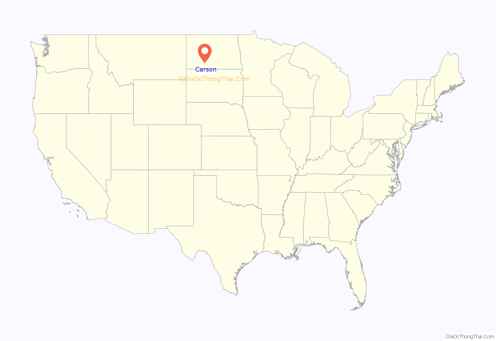
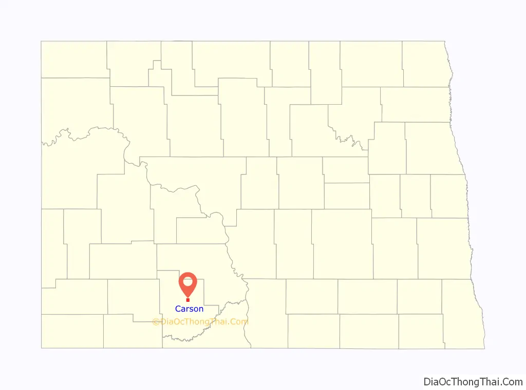
Carson location map. Where is Carson city?
History
Carson was laid out in 1910 when the Northern Pacific Railway was extended to that point. The city’s name is a portmanteau of the surnames of two settlers: Frank Carter and Simon Pederson.
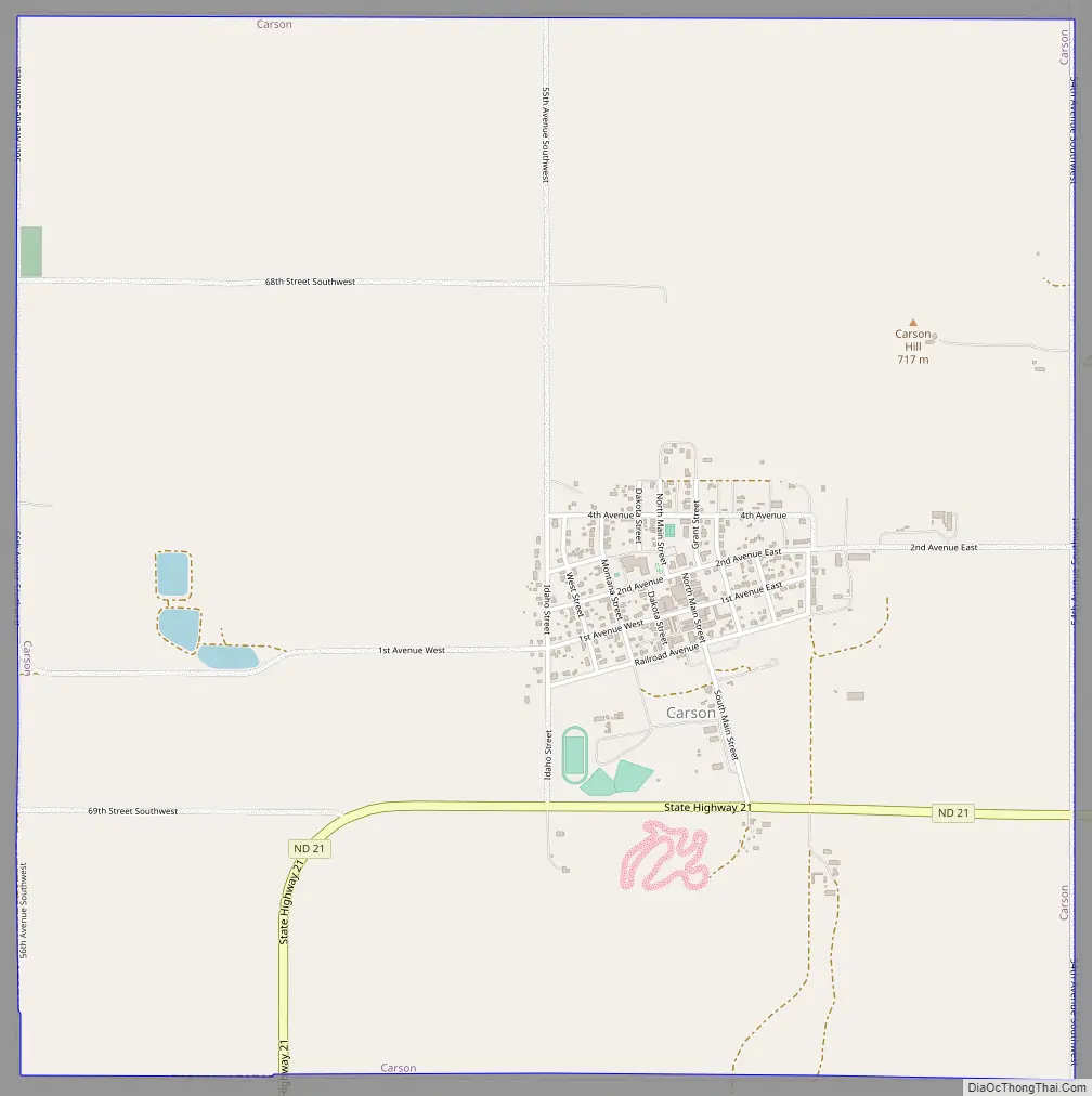
Carson Road Map
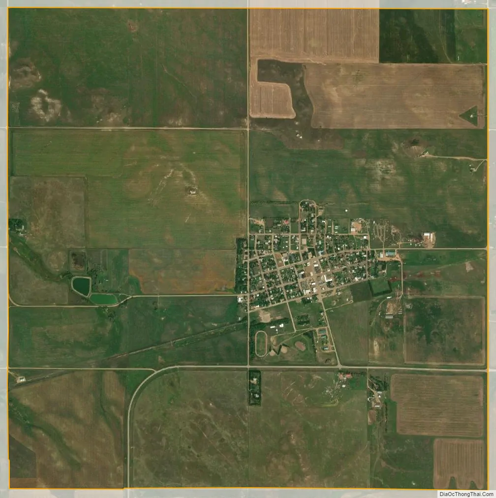
Carson city Satellite Map
Geography
Carson is located at 46°25′15″N 101°34′1″W / 46.42083°N 101.56694°W / 46.42083; -101.56694 (46.420706, -101.567025). According to the United States Census Bureau, the city has a total area of 4.02 square miles (10.41 km), all land.
See also
Map of North Dakota State and its subdivision:- Adams
- Barnes
- Benson
- Billings
- Bottineau
- Bowman
- Burke
- Burleigh
- Cass
- Cavalier
- Dickey
- Divide
- Dunn
- Eddy
- Emmons
- Foster
- Golden Valley
- Grand Forks
- Grant
- Griggs
- Hettinger
- Kidder
- Lamoure
- Logan
- McHenry
- McIntosh
- McKenzie
- McLean
- Mercer
- Morton
- Mountrail
- Nelson
- Oliver
- Pembina
- Pierce
- Ramsey
- Ransom
- Renville
- Richland
- Rolette
- Sargent
- Sheridan
- Sioux
- Slope
- Stark
- Steele
- Stutsman
- Towner
- Traill
- Walsh
- Ward
- Wells
- Williams
- Alabama
- Alaska
- Arizona
- Arkansas
- California
- Colorado
- Connecticut
- Delaware
- District of Columbia
- Florida
- Georgia
- Hawaii
- Idaho
- Illinois
- Indiana
- Iowa
- Kansas
- Kentucky
- Louisiana
- Maine
- Maryland
- Massachusetts
- Michigan
- Minnesota
- Mississippi
- Missouri
- Montana
- Nebraska
- Nevada
- New Hampshire
- New Jersey
- New Mexico
- New York
- North Carolina
- North Dakota
- Ohio
- Oklahoma
- Oregon
- Pennsylvania
- Rhode Island
- South Carolina
- South Dakota
- Tennessee
- Texas
- Utah
- Vermont
- Virginia
- Washington
- West Virginia
- Wisconsin
- Wyoming