Churchs Ferry is an unincorporated community in Ramsey County, North Dakota, United States that has been impacted by the expansion of nearby Devils Lake. The population was 9 at the 2020 census.
Churchs Ferry was a city from its founding in 1883 until September 2022 when the town unincorporated and was turned over to Ramsey County.
| Name: | Churchs Ferry city |
|---|---|
| LSAD Code: | 25 |
| LSAD Description: | city (suffix) |
| State: | North Dakota |
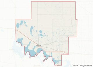
| County: | Ramsey County |
| Founded: | 1883 |
| Elevation: | 1,450 ft (442 m) |
| Total Area: | 0.43 sq mi (1.12 km²) |
| Land Area: | 0.43 sq mi (1.12 km²) |
| Water Area: | 0.00 sq mi (0.00 km²) |
| Total Population: | 9 |
| Population Density: | 20.83/sq mi (8.04/km²) |
| ZIP code: | 58325 |
| Area code: | 701 |
| FIPS code: | 3814140 |
| GNISfeature ID: | 1028374 |
Online Interactive Map
Click on ![]() to view map in "full screen" mode.
to view map in "full screen" mode.
Churchs Ferry location map. Where is Churchs Ferry city?


History
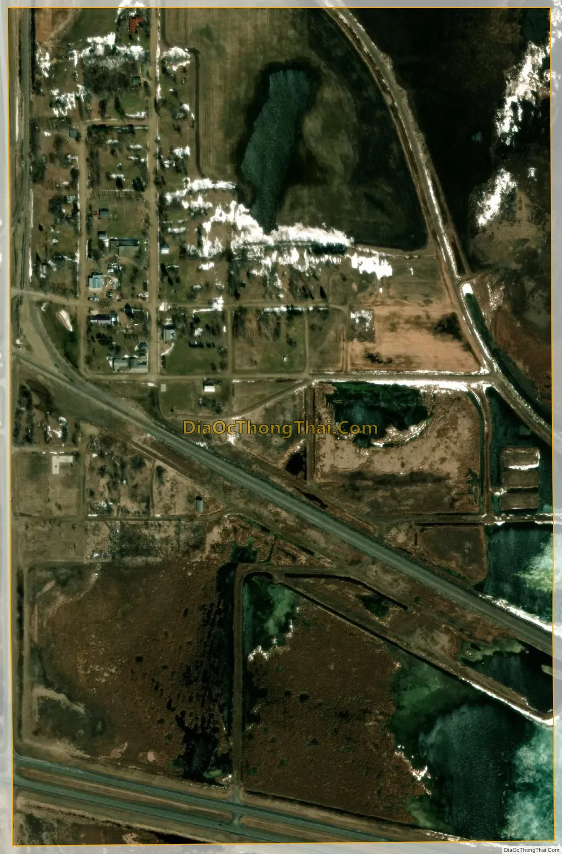
Devils Lake began rising in the early 1990s, and more than 400 homes around the lake have been relocated or destroyed. This includes much of the community of Churchs Ferry, one of two municipalities that have been bought out by government agencies. The other is Penn, although some people remain in both communities.
Devils Lake keeps getting larger as its outlet (Tolna Coulee) is significantly higher than the rest of the lake. In the 1880s, the lake was large enough that a man by the name of Irvine Church once operated a ferry in the area (hence the town’s name), but by 1940, the lake had all but dried out. The lake is now growing back towards its maximum size again.
On January 10, 2012, Churchs Ferry residents voted 5 to 2 to remain an incorporated town.
On June 14, 2022, the town’s 6 remaining residents voted to dissolve the city with a 5-1 vote. The city dissolved on September 1, 2022 with Paul Christenson being the last mayor of Churchs Ferry.
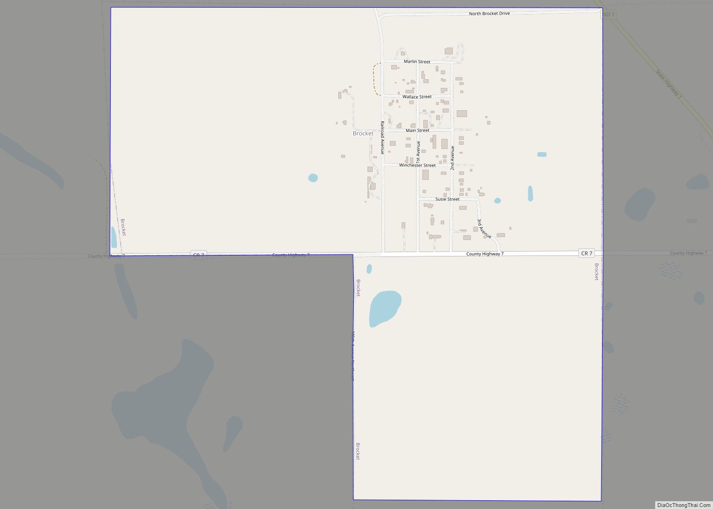
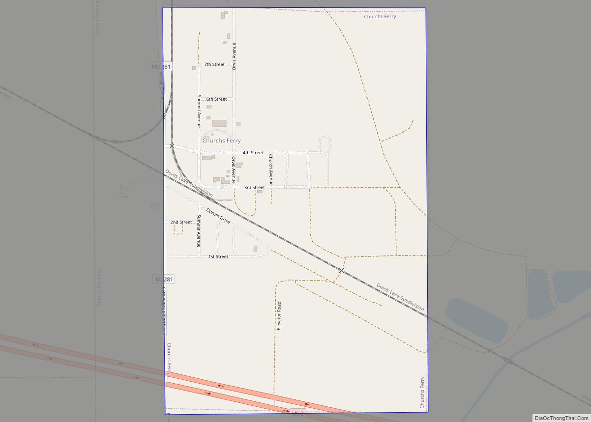
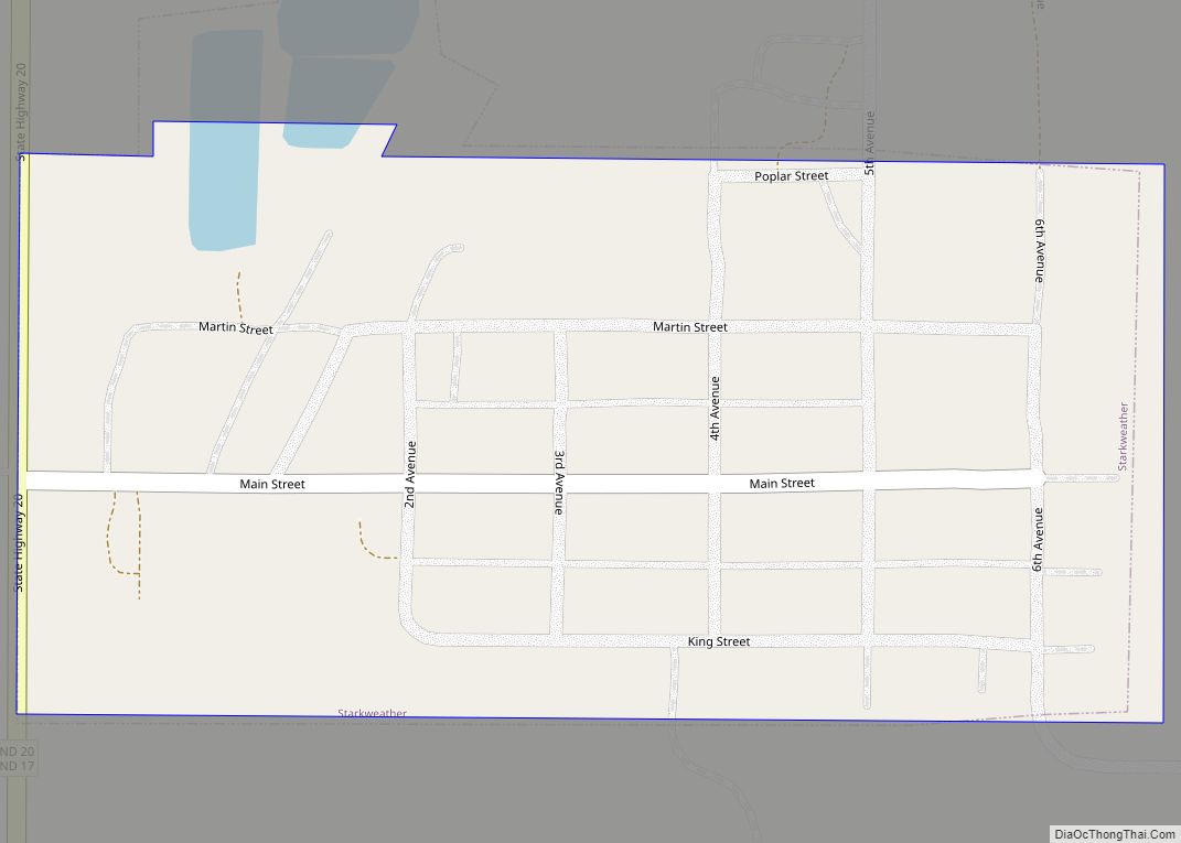
Churchs Ferry Road Map

Churchs Ferry city Satellite Map
Geography
Churchs Ferry is located at 48°16′8″N 99°11′47″W / 48.26889°N 99.19639°W / 48.26889; -99.19639 (48.268898, -99.196487).
According to the United States Census Bureau, the city has a total area of 0.43 square miles (1.11 km), all land.
See also
Map of North Dakota State and its subdivision:- Adams
- Barnes
- Benson
- Billings
- Bottineau
- Bowman
- Burke
- Burleigh
- Cass
- Cavalier
- Dickey
- Divide
- Dunn
- Eddy
- Emmons
- Foster
- Golden Valley
- Grand Forks
- Grant
- Griggs
- Hettinger
- Kidder
- Lamoure
- Logan
- McHenry
- McIntosh
- McKenzie
- McLean
- Mercer
- Morton
- Mountrail
- Nelson
- Oliver
- Pembina
- Pierce
- Ramsey
- Ransom
- Renville
- Richland
- Rolette
- Sargent
- Sheridan
- Sioux
- Slope
- Stark
- Steele
- Stutsman
- Towner
- Traill
- Walsh
- Ward
- Wells
- Williams
- Alabama
- Alaska
- Arizona
- Arkansas
- California
- Colorado
- Connecticut
- Delaware
- District of Columbia
- Florida
- Georgia
- Hawaii
- Idaho
- Illinois
- Indiana
- Iowa
- Kansas
- Kentucky
- Louisiana
- Maine
- Maryland
- Massachusetts
- Michigan
- Minnesota
- Mississippi
- Missouri
- Montana
- Nebraska
- Nevada
- New Hampshire
- New Jersey
- New Mexico
- New York
- North Carolina
- North Dakota
- Ohio
- Oklahoma
- Oregon
- Pennsylvania
- Rhode Island
- South Carolina
- South Dakota
- Tennessee
- Texas
- Utah
- Vermont
- Virginia
- Washington
- West Virginia
- Wisconsin
- Wyoming