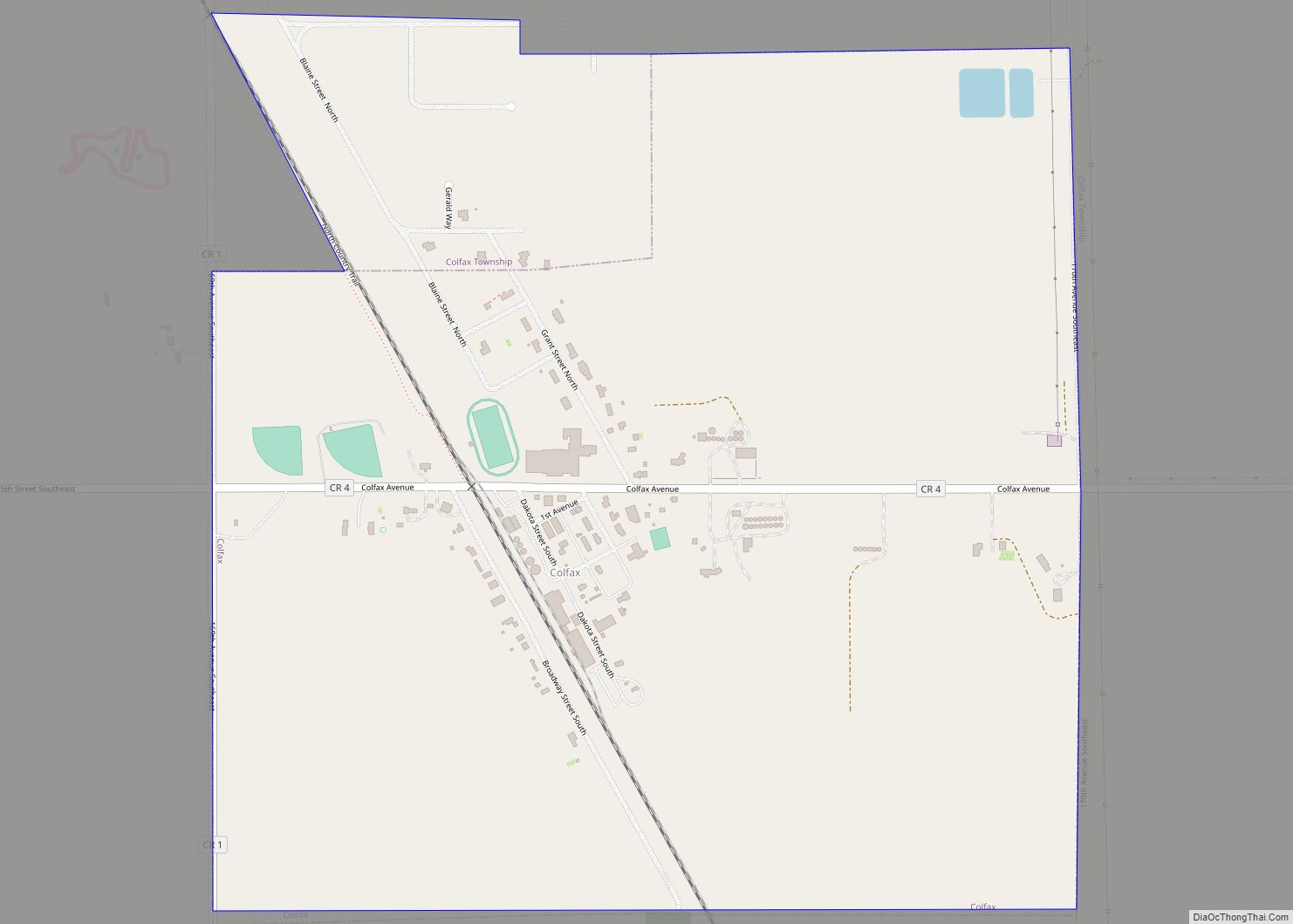
Colfax is a city in Richland County, North Dakota, United States. The population was 172 at the 2020 census. Colfax was founded in 1881. It is part of the Wahpeton, ND–MN Micropolitan Statistical Area. In the mid-1960s it billed itself as the “smallest town in the U.S. with a public swimming pool”. Colfax city overview: ... Read more
North Dakota Cities and Places
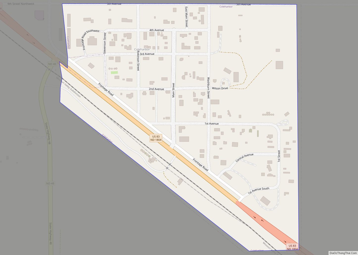
Coleharbor is a city in McLean County, North Dakota, United States. The population was 59 at the 2020 census. Coleharbor was founded in 1904. Coleharbor city overview: Name: Coleharbor city LSAD Code: 25 LSAD Description: city (suffix) State: North Dakota County: McLean County Founded: 1904 Elevation: 1,906 ft (581 m) Total Area: 0.18 sq mi (0.47 km²) Land Area: 0.18 sq mi ... Read more
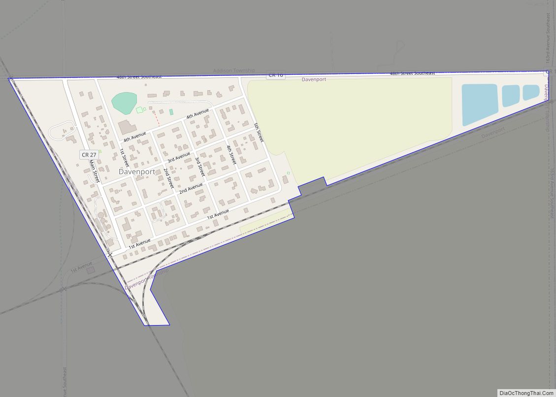
Davenport is a city in Cass County, North Dakota, United States. The population was 256 at the 2020 census. Davenport was founded in 1882. Davenport city overview: Name: Davenport city LSAD Code: 25 LSAD Description: city (suffix) State: North Dakota County: Cass County Elevation: 922 ft (281 m) Total Area: 0.27 sq mi (0.69 km²) Land Area: 0.27 sq mi (0.69 km²) Water ... Read more
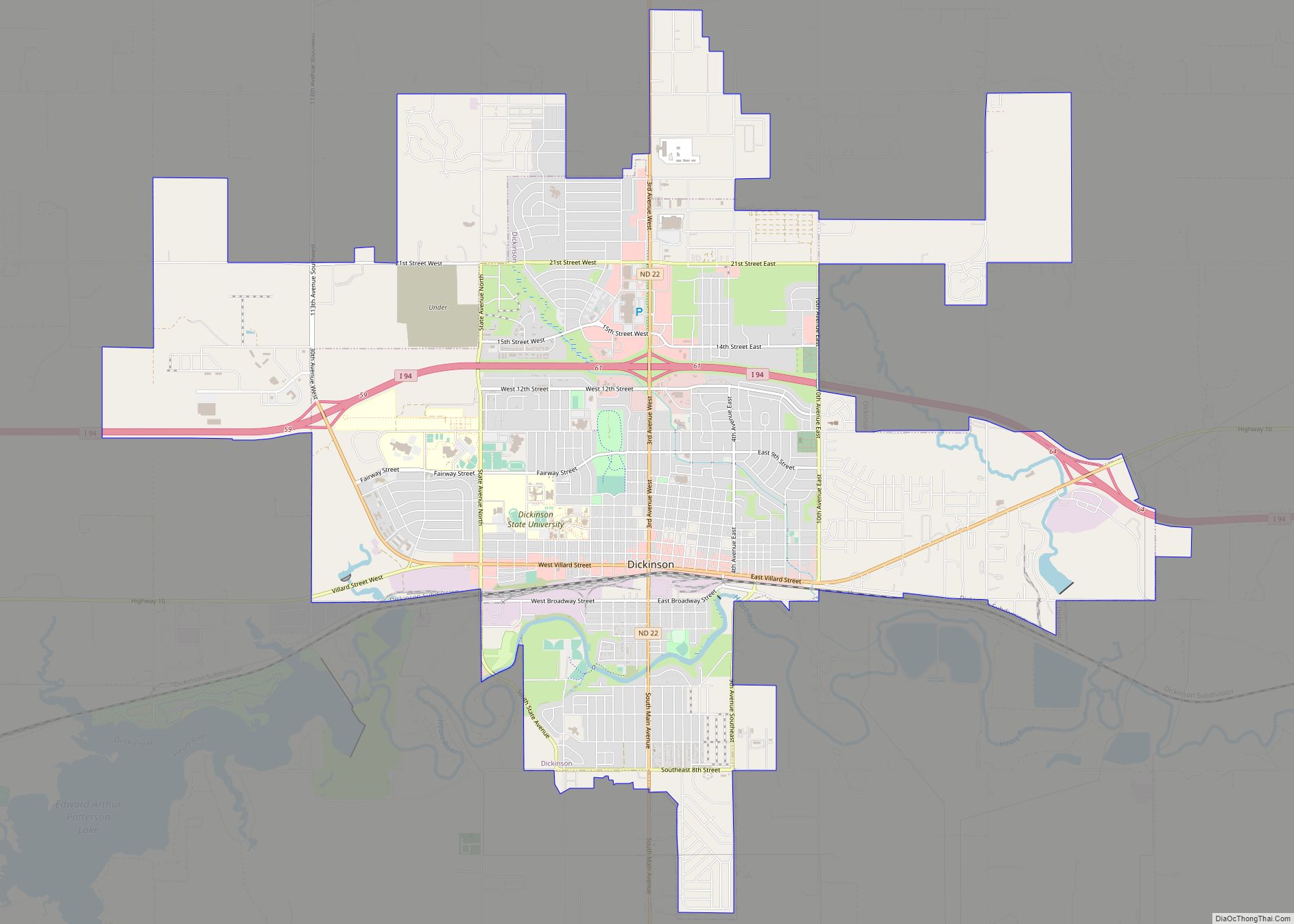
Dickinson is a city in and the county seat of Stark County, North Dakota, United States. The population was 25,679 at the 2020 census. Dickinson is home to the Ukrainian Cultural Institute, which has a museum and holds events year round for the local Ukrainian community. Western North Dakota has a high concentration of people ... Read more
Dickey is a city in LaMoure County, North Dakota, United States. The population was 42 at the 2020 census. Dickey city overview: Name: Dickey city LSAD Code: 25 LSAD Description: city (suffix) State: North Dakota County: LaMoure County Founded: 1885 Elevation: 1,355 ft (413 m) Total Area: 0.24 sq mi (0.62 km²) Land Area: 0.24 sq mi (0.62 km²) Water Area: 0.00 sq mi (0.00 km²) ... Read more
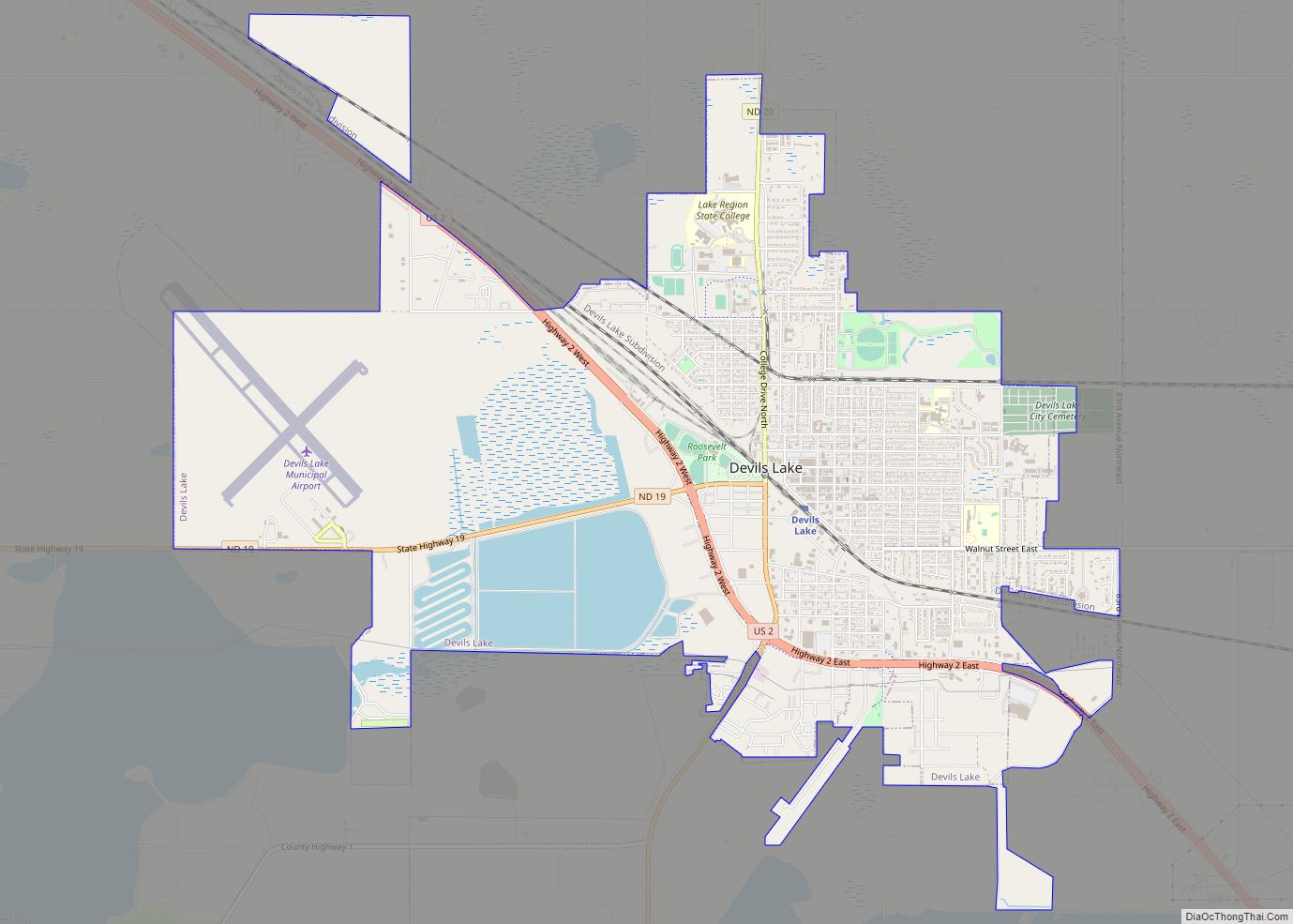
Devils Lake is a city in Ramsey County, North Dakota, United States. It is the county seat of Ramsey County. The population was 7,192 at the 2020 census. It is named after the nearby body of water called Devils Lake. The first house in Devils Lake was built in 1882. It was surveyed in 1883 ... Read more
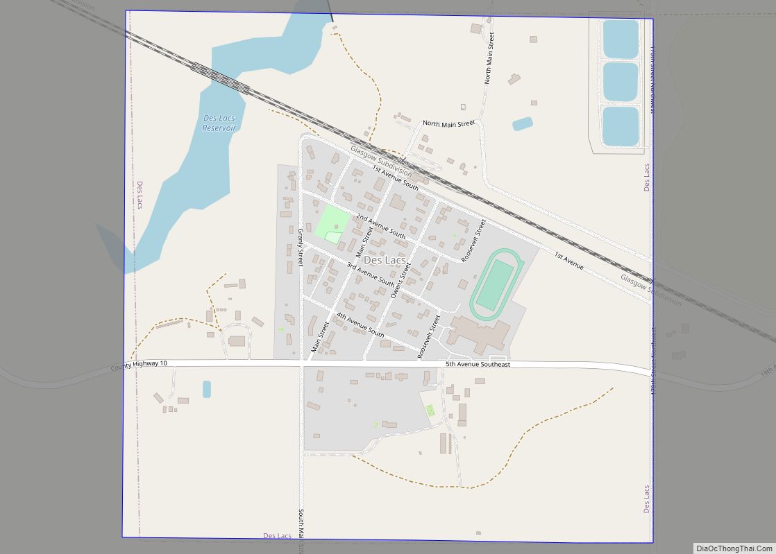
Des Lacs is a city in Ward County, North Dakota, United States. The population was 185 at the 2020 census. It is part of the Minot Micropolitan Statistical Area. Des Lacs was founded in 1888, named after the Riviere de Lacs (now Des Lacs River), from the French for “River [of] The Lakes.” Des Lacs ... Read more
Denhoff (/ˈdɛnhɔːf/) is an unincorporated community and census-designated place in central Sheridan County, North Dakota, United States. The community was designated as part of the U.S. Census Bureau’s Participant Statistical Areas Program on March 31, 2010. It was not counted separately during the 2000 Census, but was included in the 2010 Census, where a population ... Read more
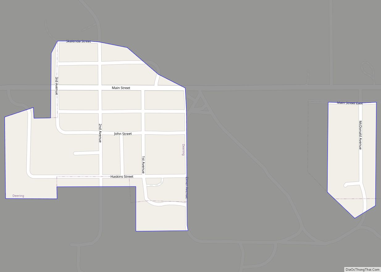
Deering is a city in McHenry County, North Dakota, United States. The population was 94 at the 2020 census. It is part of the Minot Micropolitan Statistical Area. Deering was founded in 1903. Deering city overview: Name: Deering city LSAD Code: 25 LSAD Description: city (suffix) State: North Dakota County: McHenry County Founded: 1903 Elevation: ... Read more
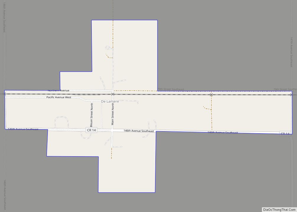
De Lamere is a census-designated place and unincorporated community in Sargent County, North Dakota, United States. Its population was 30 as of the 2010 census. The town received its French name after an official with the Northern Pacific Railroad. The town was established in 1885 in Hall Township. It was and still is the only ... Read more
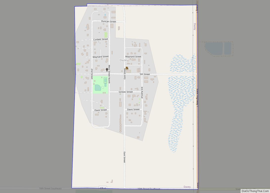
Dazey is a city in Barnes County, North Dakota, United States. The population was 78 at the 2020 census. Dazey was founded in 1883 after a local farmer, Charles Dazey, donated land to start a townsite. Dazey city overview: Name: Dazey city LSAD Code: 25 LSAD Description: city (suffix) State: North Dakota County: Barnes County ... Read more
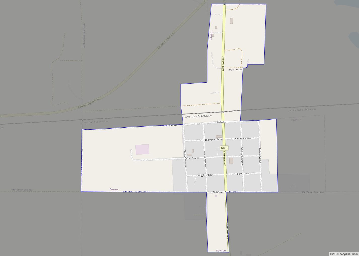
Dawson is a city in Kidder County, North Dakota, United States. The population was 74 at the 2020 census. Dawson city overview: Name: Dawson city LSAD Code: 25 LSAD Description: city (suffix) State: North Dakota County: Kidder County Elevation: 1,752 ft (534 m) Total Area: 0.34 sq mi (0.88 km²) Land Area: 0.34 sq mi (0.88 km²) Water Area: 0.00 sq mi (0.00 km²) Total Population: ... Read more
