Dickinson is a city in and the county seat of Stark County, North Dakota, United States. The population was 25,679 at the 2020 census. Dickinson is home to the Ukrainian Cultural Institute, which has a museum and holds events year round for the local Ukrainian community. Western North Dakota has a high concentration of people of Ukrainian descent.
Since the North Dakota oil boom the city has become one of the fastest-growing cities in the United States. According to the 2020 census, the city is estimated to have a population of 25,679, however, other sources have estimates of the population at 33,646 or possibly exceeding 35,000. The rapid growth of the city led to an increase in crime and homelessness within the city limits.
Dickinson is the principal city of the Dickinson Micropolitan Statistical Area, a micropolitan area that covers Billings and Stark counties and had a combined population of 34,591 at the 2010 census.
| Name: | Dickinson city |
|---|---|
| LSAD Code: | 25 |
| LSAD Description: | city (suffix) |
| State: | North Dakota |
| County: | Stark County |
| Elevation: | 2,411 ft (735 m) |
| Total Area: | 13.27 sq mi (34.36 km²) |
| Land Area: | 13.20 sq mi (34.19 km²) |
| Water Area: | 0.07 sq mi (0.17 km²) |
| Total Population: | 25,679 |
| Population Density: | 1,945.38/sq mi (751.11/km²) |
| ZIP code: | 58601–58602 |
| Area code: | 701 |
| FIPS code: | 3819620 |
| GNISfeature ID: | 1028683 |
| Website: | dickinsongov.com |
Online Interactive Map
Click on ![]() to view map in "full screen" mode.
to view map in "full screen" mode.
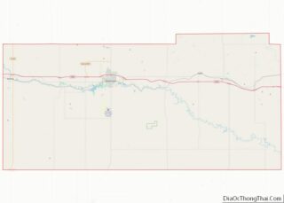
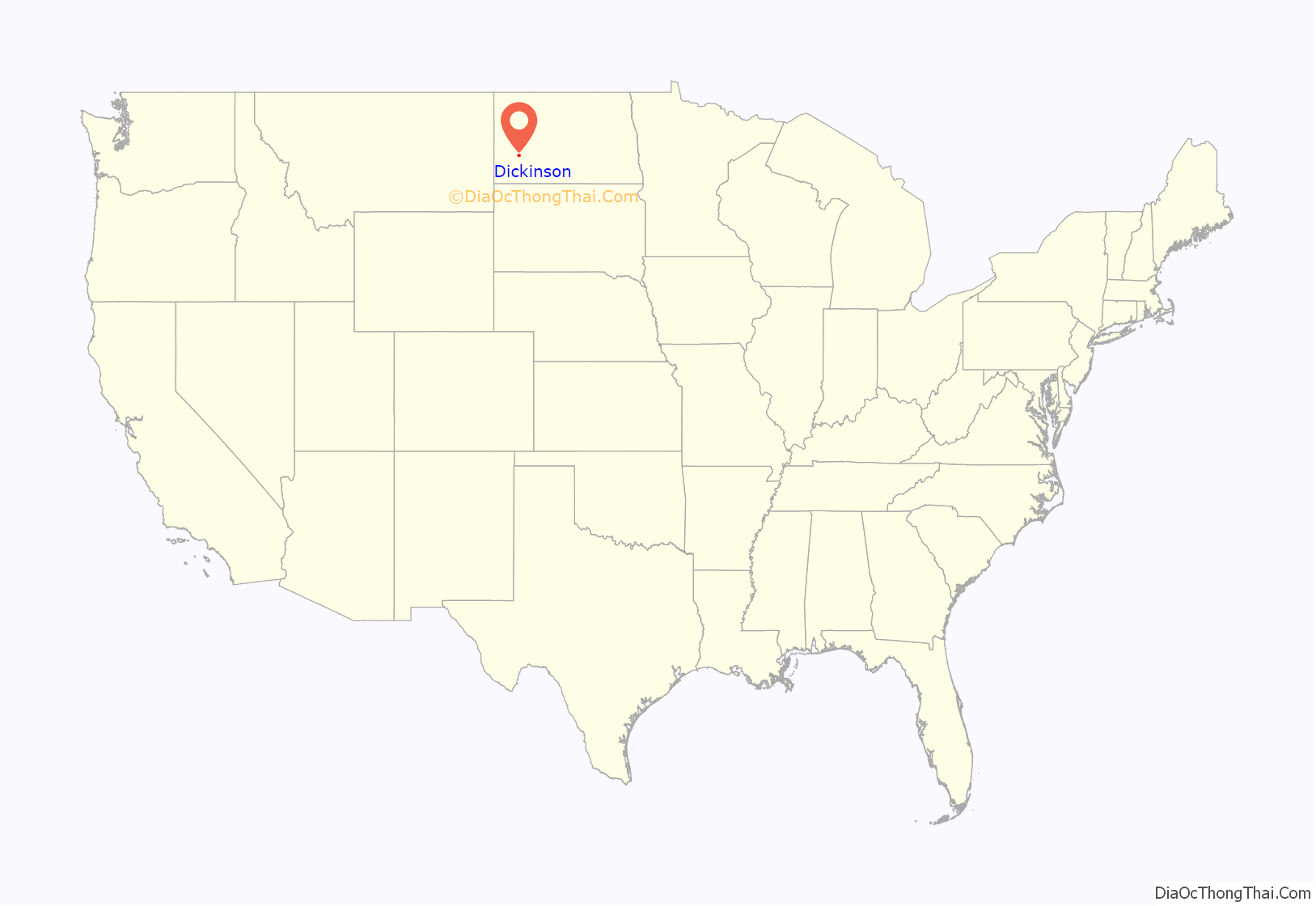
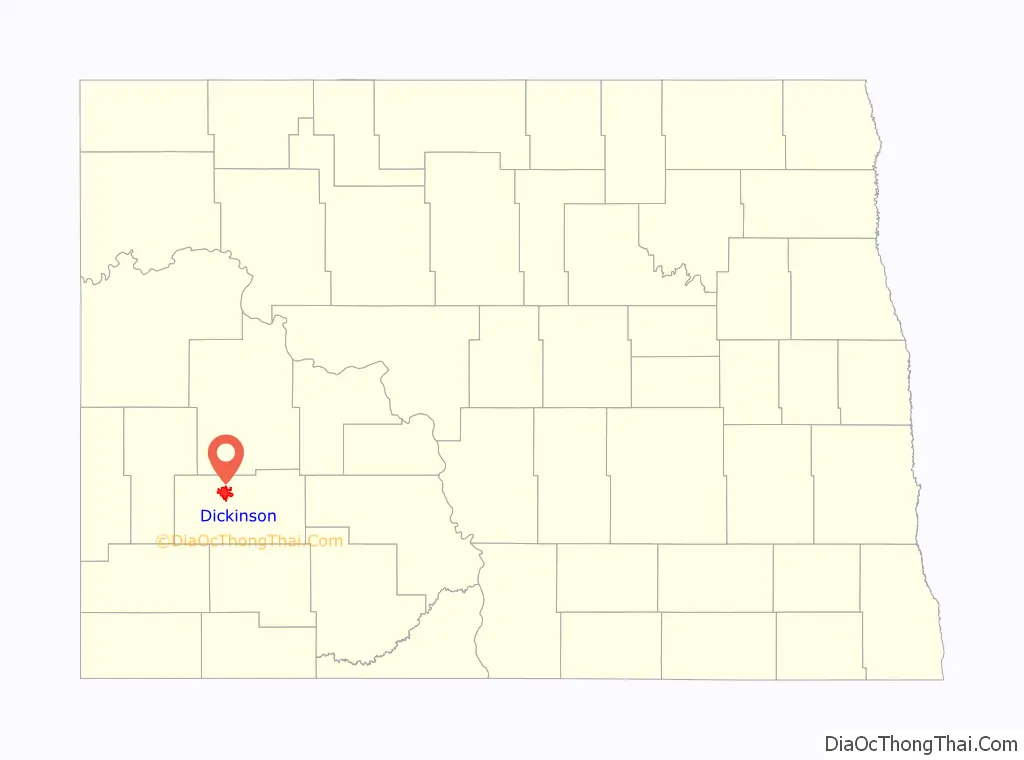
Dickinson location map. Where is Dickinson city?
History
Dickinson was founded in 1881. Dickinson was named for its founder, W. S. Dickinson, a native of Malone, New York.
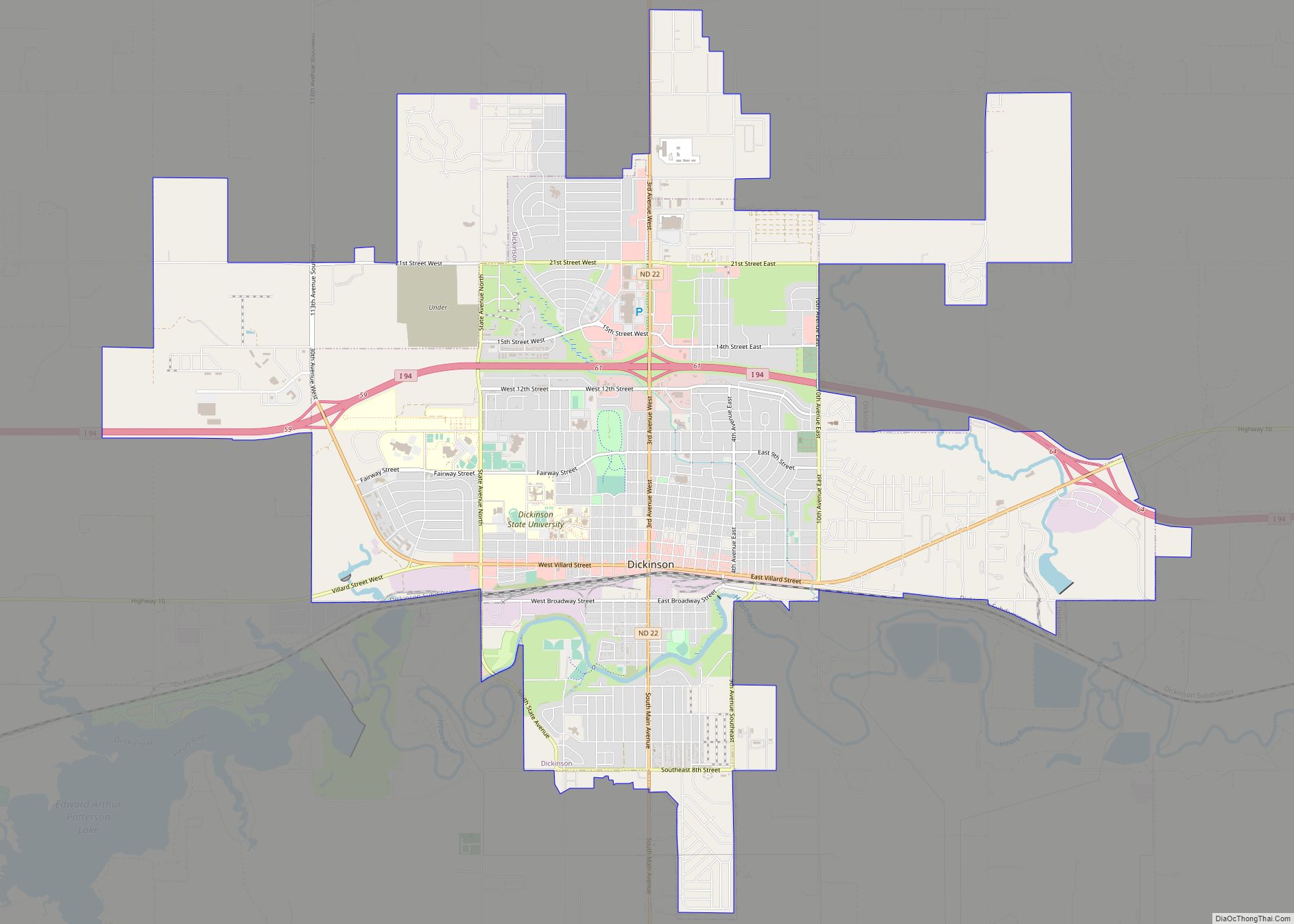
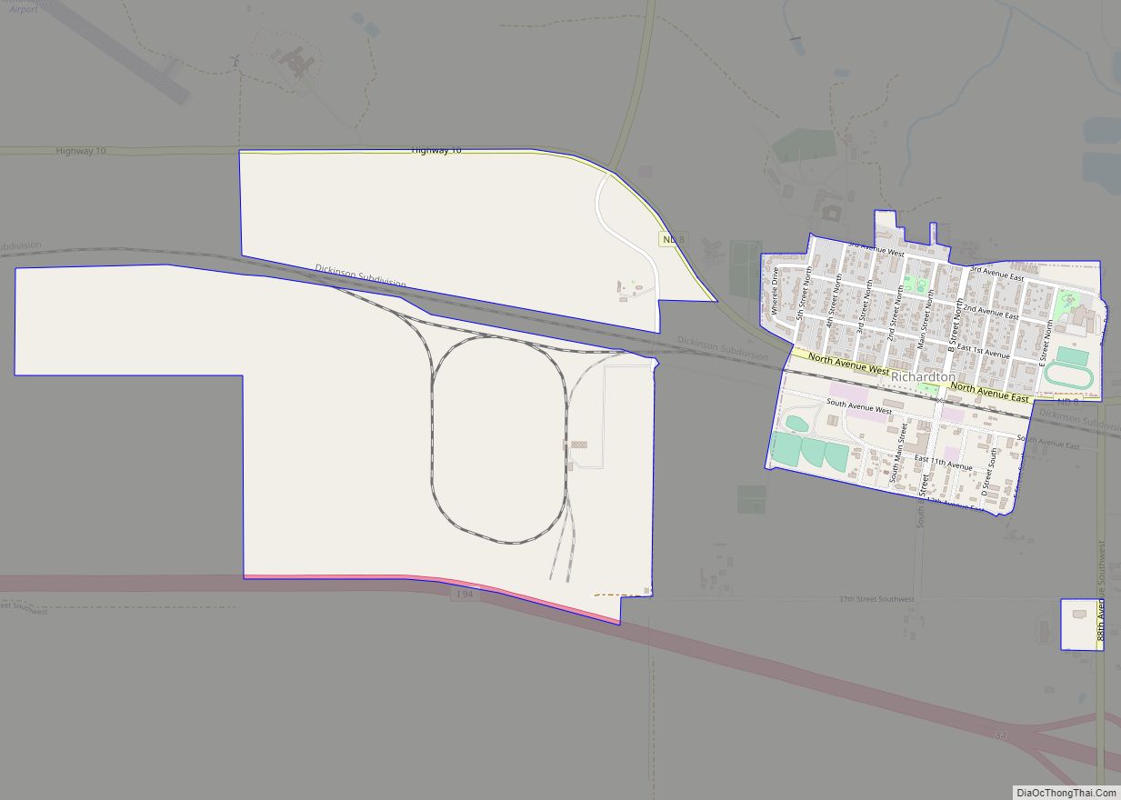
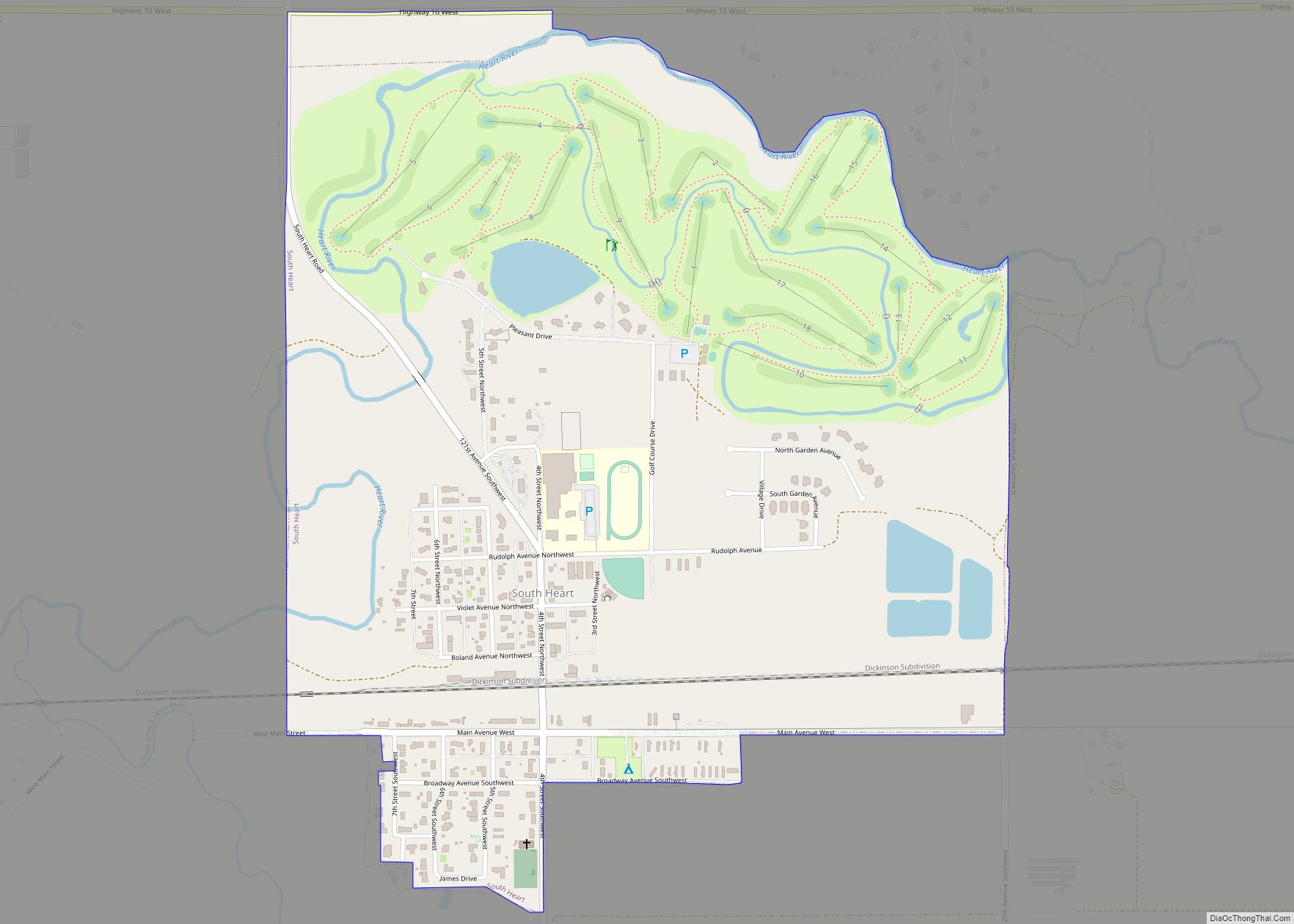
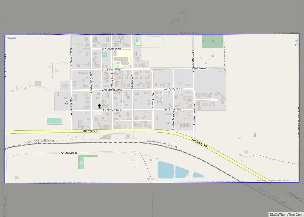
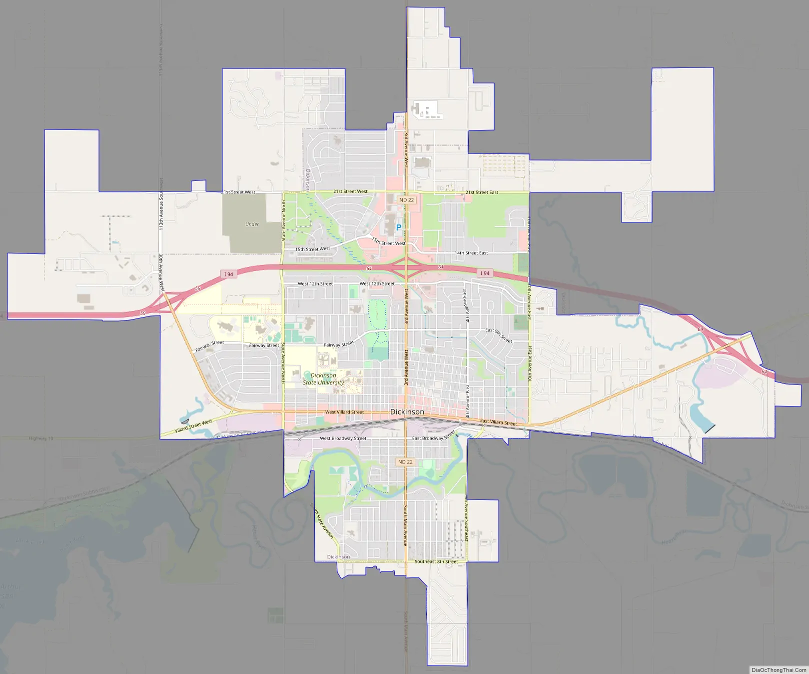
Dickinson Road Map
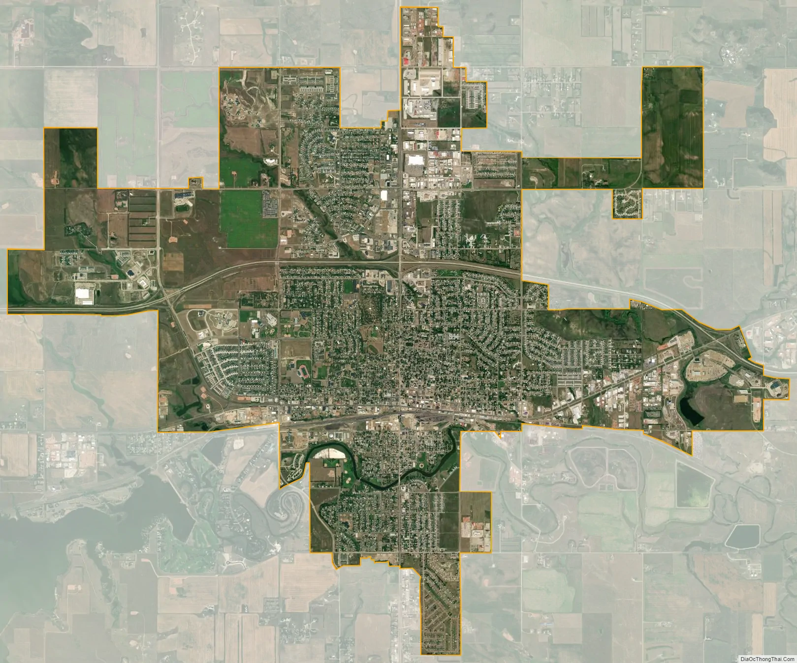
Dickinson city Satellite Map
Geography
Dickinson is located at 46°53′01″N 102°47′20″W / 46.883575°N 102.788811°W / 46.883575; -102.788811 (46.883575, −102.788811).
According to the United States Census Bureau, the city has a total area of 10.03 square miles (25.98 km), of which 9.96 square miles (25.80 km) is land and 0.07 square miles (0.18 km) is water. Dickinson’s municipal water supplies come from Southwest Water Authority which, in turn, gets their water from Lake Sakakawea through a transmission pipeline.
Climate
Nearly all of Stark County has a humid continental climate of warm summer (Köppen: Dfb), but due to low precipitation and marginality between climate with monsoon-influenced dry winter (Dwb) and semi-arid climate (BSk), Dickinson can be said to be prone to periods of drought, even though it is defined as wet all year round. Its climate is similar to Bismarck’s, though a bit less extreme. The monthly daily average temperature ranges from 16.3 °F (−8.7 °C) in January to 69.2 °F (20.7 °C) in July; on average, temperatures reach 100 °F (38 °C) on 2.2 days, 90 °F (32 °C) on 22 days, and 0 °F (−18 °C) on 32 days annually. The average window for freezing temperatures is September 22 thru May 16 and for measurable (≥0.1 inches or 0.25 centimetres) snow, October 26 thru April 19. Due to the relative aridity, there are only 2.8 days where 24-hour snowfall exceeds 3 inches (7.6 cm). With a period of record dating only to 1893, extreme temperatures range from −47 °F (−44 °C) as recently as January 12, 2011 to 114 °F (46 °C) on July 6, 1936.
See also
Map of North Dakota State and its subdivision:- Adams
- Barnes
- Benson
- Billings
- Bottineau
- Bowman
- Burke
- Burleigh
- Cass
- Cavalier
- Dickey
- Divide
- Dunn
- Eddy
- Emmons
- Foster
- Golden Valley
- Grand Forks
- Grant
- Griggs
- Hettinger
- Kidder
- Lamoure
- Logan
- McHenry
- McIntosh
- McKenzie
- McLean
- Mercer
- Morton
- Mountrail
- Nelson
- Oliver
- Pembina
- Pierce
- Ramsey
- Ransom
- Renville
- Richland
- Rolette
- Sargent
- Sheridan
- Sioux
- Slope
- Stark
- Steele
- Stutsman
- Towner
- Traill
- Walsh
- Ward
- Wells
- Williams
- Alabama
- Alaska
- Arizona
- Arkansas
- California
- Colorado
- Connecticut
- Delaware
- District of Columbia
- Florida
- Georgia
- Hawaii
- Idaho
- Illinois
- Indiana
- Iowa
- Kansas
- Kentucky
- Louisiana
- Maine
- Maryland
- Massachusetts
- Michigan
- Minnesota
- Mississippi
- Missouri
- Montana
- Nebraska
- Nevada
- New Hampshire
- New Jersey
- New Mexico
- New York
- North Carolina
- North Dakota
- Ohio
- Oklahoma
- Oregon
- Pennsylvania
- Rhode Island
- South Carolina
- South Dakota
- Tennessee
- Texas
- Utah
- Vermont
- Virginia
- Washington
- West Virginia
- Wisconsin
- Wyoming