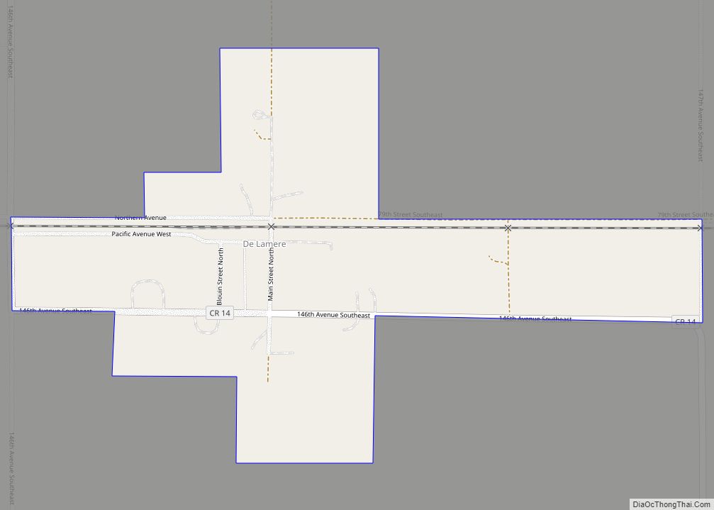
De Lamere is a census-designated place and unincorporated community in Sargent County, North Dakota, United States. Its population was 30 as of the 2010 census.
The town received its French name after an official with the Northern Pacific Railroad. The town was established in 1885 in Hall Township. It was and still is the only town in Hall Township.
At one time, the town had a train depot, church, school (DeLamere Dragons), general store, post office, grain elevators, blacksmith shop, pool hall, cream station, garages, and a town hall. The town also had its own newspaper (DeLamere Mistletoe.) and a bank (DeLamere State Bank).
| Name: | De Lamere CDP |
|---|---|
| LSAD Code: | 57 |
| LSAD Description: | CDP (suffix) |
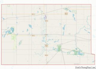
| State: | North Dakota |
| County: | Sargent County |
| Elevation: | 1,066 ft (325 m) |
| Total Area: | 0.26 sq mi (0.68 km²) |
| Land Area: | 0.26 sq mi (0.68 km²) |
| Water Area: | 0.00 sq mi (0.00 km²) |
| Total Population: | 25 |
| Population Density: | 95.06/sq mi (36.65/km²) |
| Area code: | 701 |
| FIPS code: | 3818820 |
| GNISfeature ID: | 1034818 |
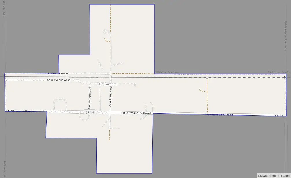
Online Interactive Map
Click on ![]() to view map in "full screen" mode.
to view map in "full screen" mode.
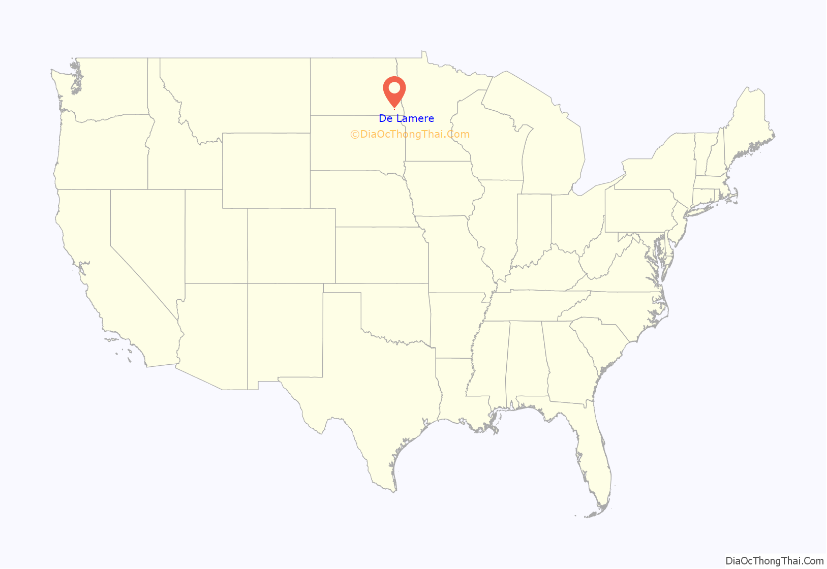
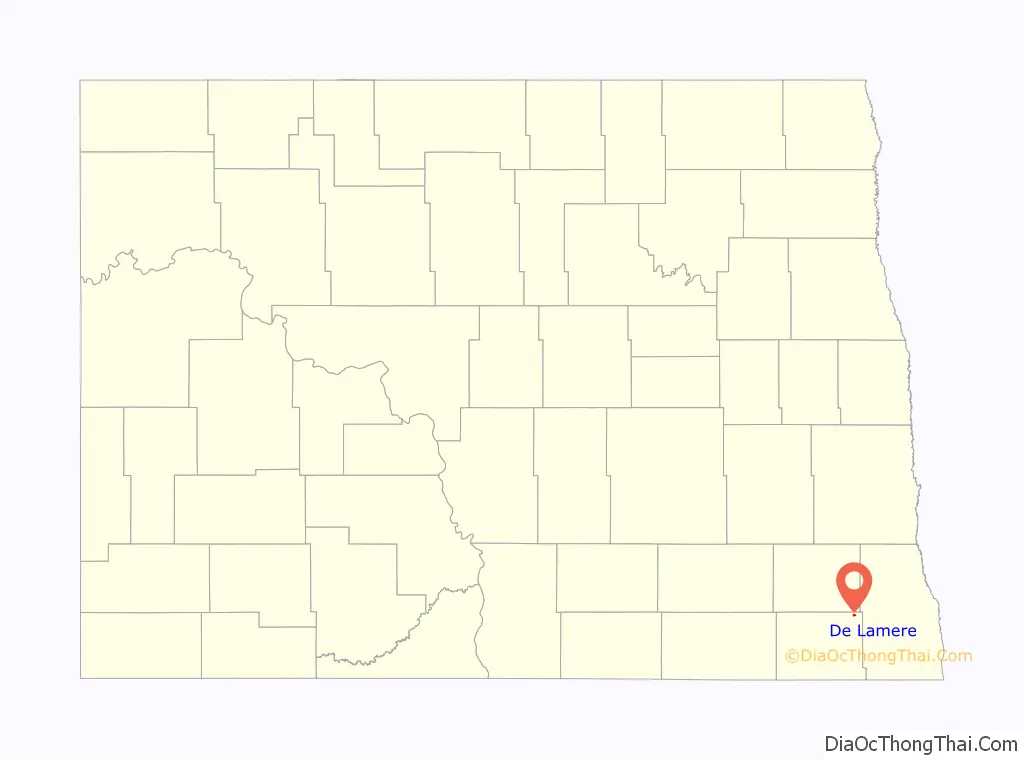
De Lamere location map. Where is De Lamere CDP?
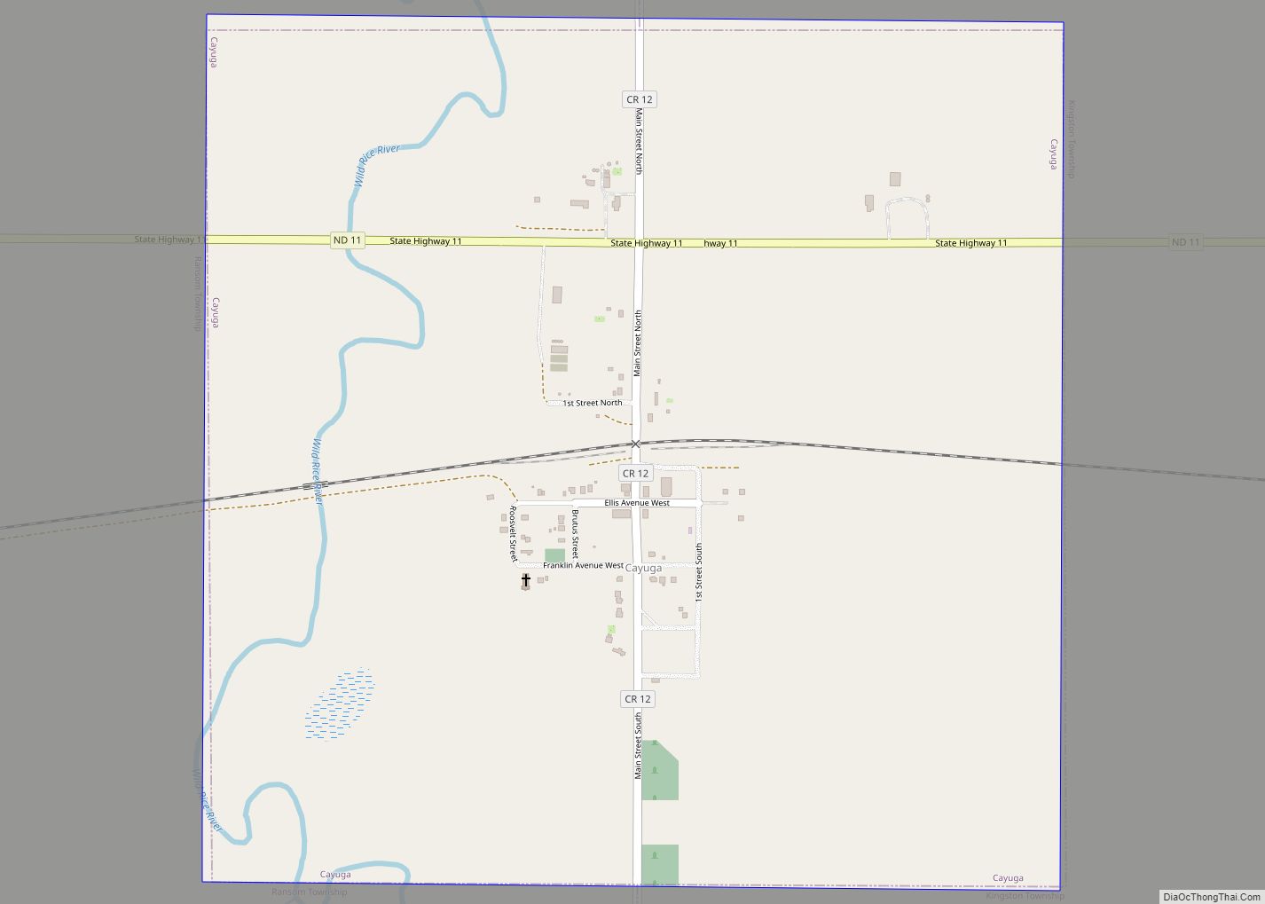
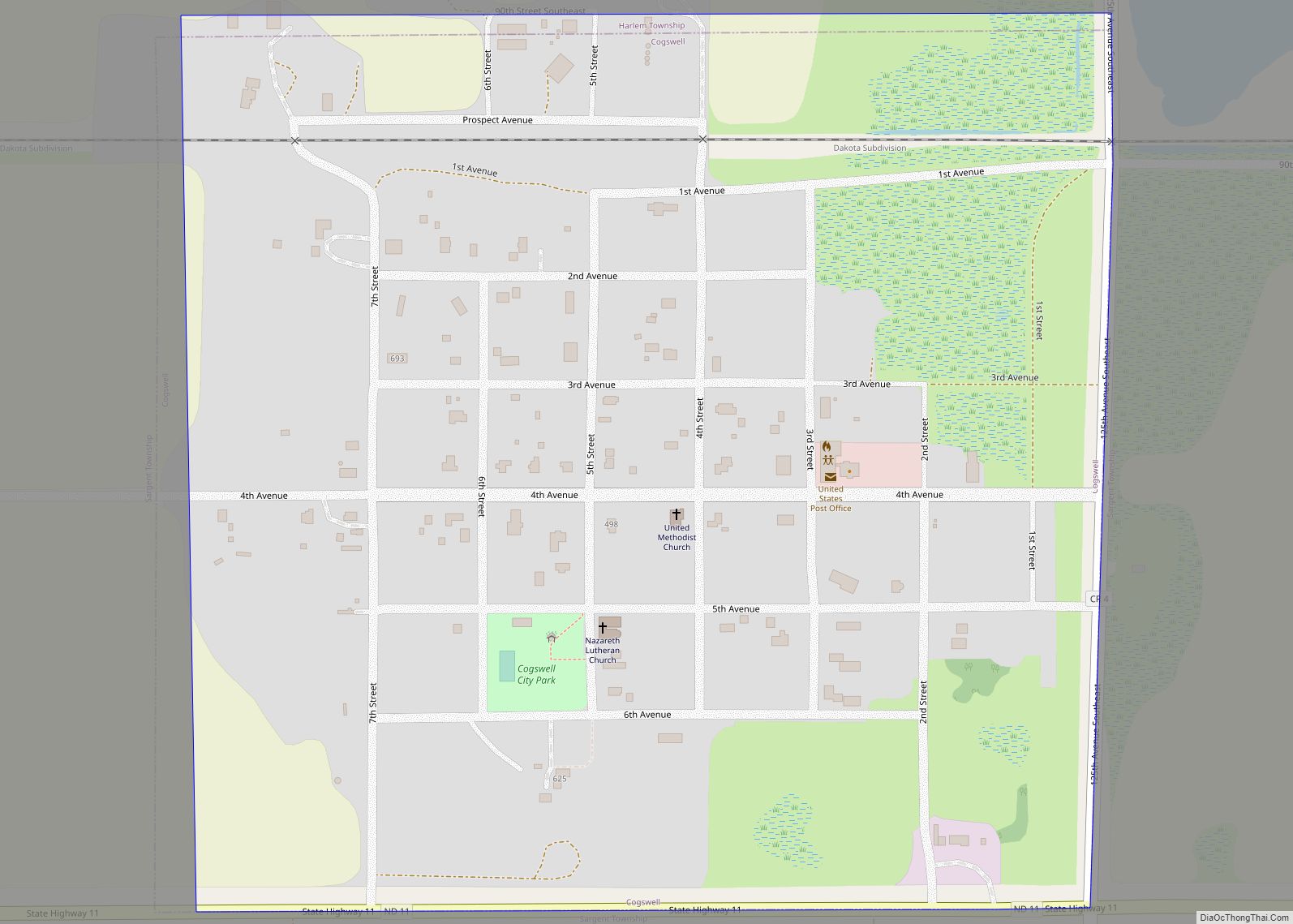
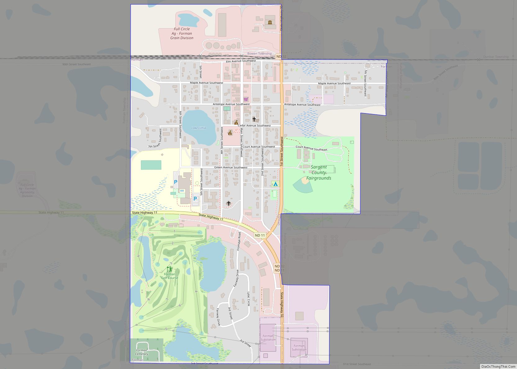
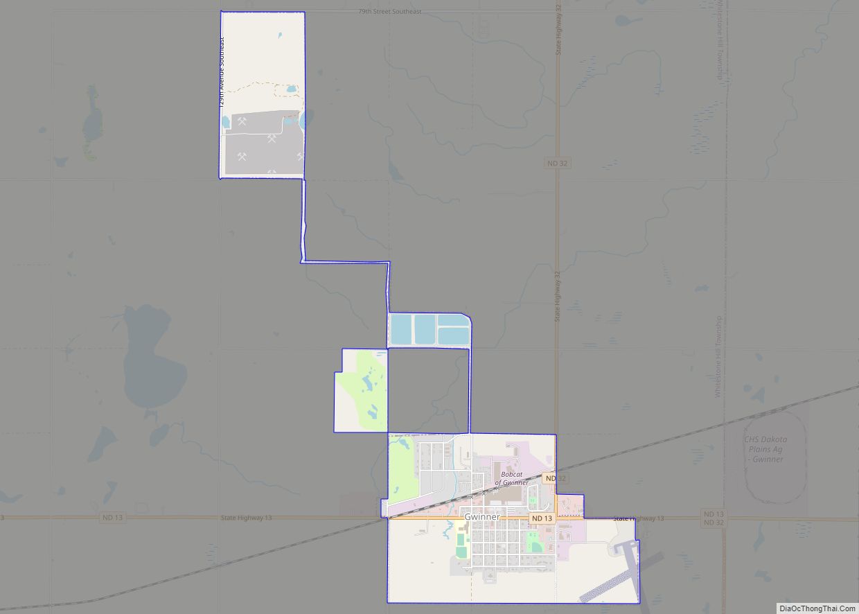
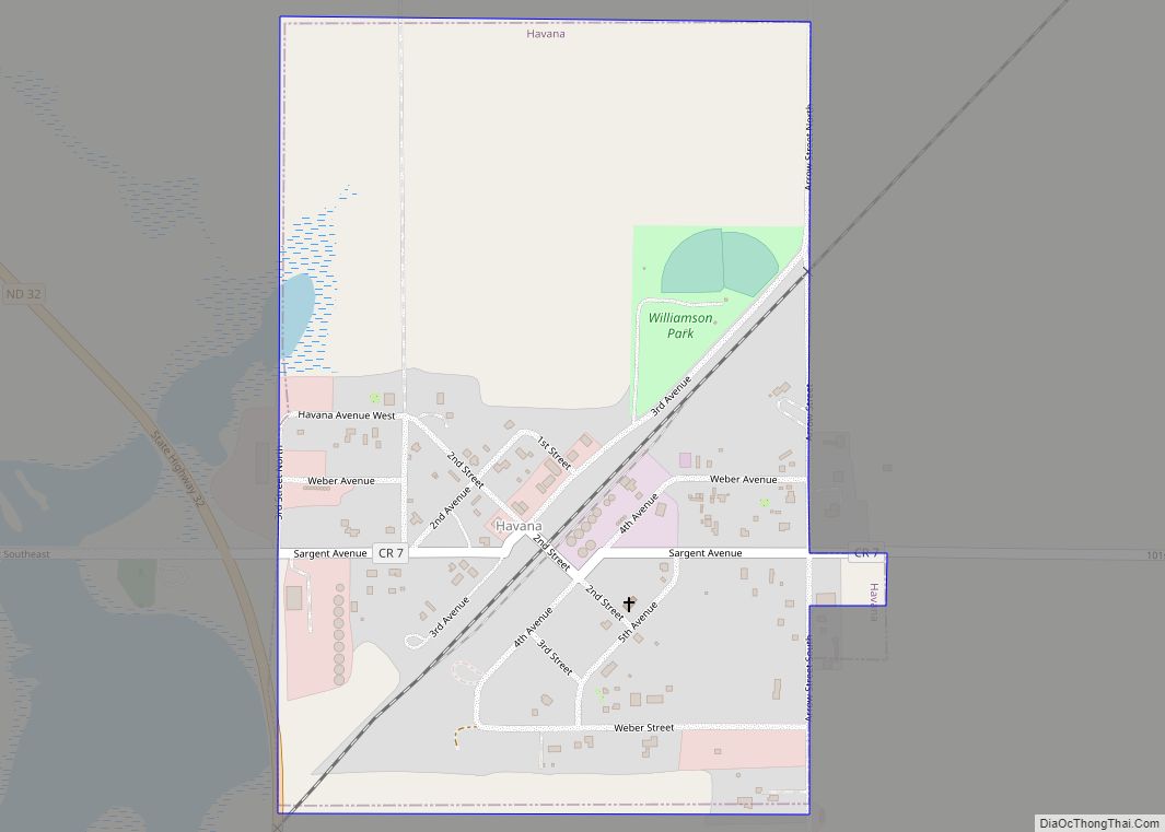
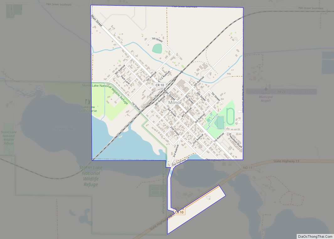
De Lamere Road Map
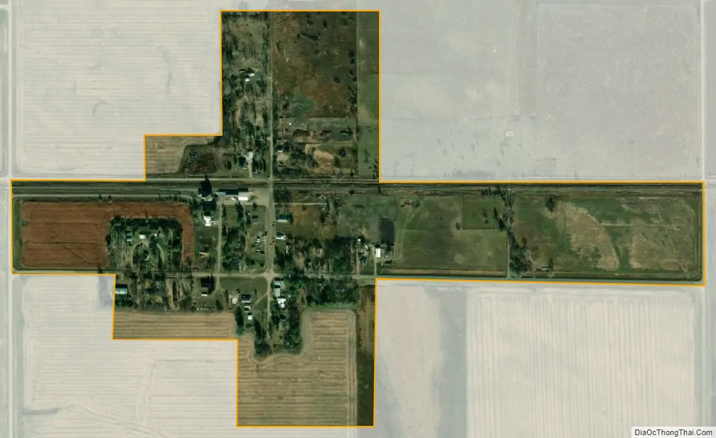
De Lamere city Satellite Map
See also
Map of North Dakota State and its subdivision:- Adams
- Barnes
- Benson
- Billings
- Bottineau
- Bowman
- Burke
- Burleigh
- Cass
- Cavalier
- Dickey
- Divide
- Dunn
- Eddy
- Emmons
- Foster
- Golden Valley
- Grand Forks
- Grant
- Griggs
- Hettinger
- Kidder
- Lamoure
- Logan
- McHenry
- McIntosh
- McKenzie
- McLean
- Mercer
- Morton
- Mountrail
- Nelson
- Oliver
- Pembina
- Pierce
- Ramsey
- Ransom
- Renville
- Richland
- Rolette
- Sargent
- Sheridan
- Sioux
- Slope
- Stark
- Steele
- Stutsman
- Towner
- Traill
- Walsh
- Ward
- Wells
- Williams
- Alabama
- Alaska
- Arizona
- Arkansas
- California
- Colorado
- Connecticut
- Delaware
- District of Columbia
- Florida
- Georgia
- Hawaii
- Idaho
- Illinois
- Indiana
- Iowa
- Kansas
- Kentucky
- Louisiana
- Maine
- Maryland
- Massachusetts
- Michigan
- Minnesota
- Mississippi
- Missouri
- Montana
- Nebraska
- Nevada
- New Hampshire
- New Jersey
- New Mexico
- New York
- North Carolina
- North Dakota
- Ohio
- Oklahoma
- Oregon
- Pennsylvania
- Rhode Island
- South Carolina
- South Dakota
- Tennessee
- Texas
- Utah
- Vermont
- Virginia
- Washington
- West Virginia
- Wisconsin
- Wyoming