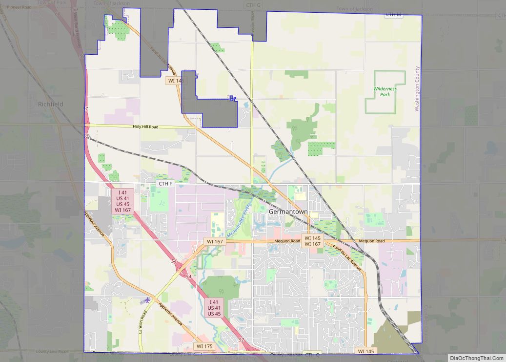
Germantown is a village in Washington County, Wisconsin, United States. The population was 19,749 at the 2010 census. The village surrounds the Town of Germantown. In July 2007, Germantown was ranked the 30th most appealing place to live in the United States by Money Magazine.
| Name: | Germantown village |
|---|---|
| LSAD Code: | 47 |
| LSAD Description: | village (suffix) |
| State: | Wisconsin |
| County: | Washington County |
| Incorporated: | 1927; 96 years ago (1927) |
| Total Area: | 34.40 sq mi (89.09 km²) |
| Land Area: | 34.37 sq mi (89.03 km²) |
| Water Area: | 0.02 sq mi (0.06 km²) |
| Total Population: | 19,749 |
| Population Density: | 585.21/sq mi (225.95/km²) |
| ZIP code: | 53022 |
| Area code: | 262 |
| FIPS code: | 5528875 |
| Website: | village.germantown.wi.us |
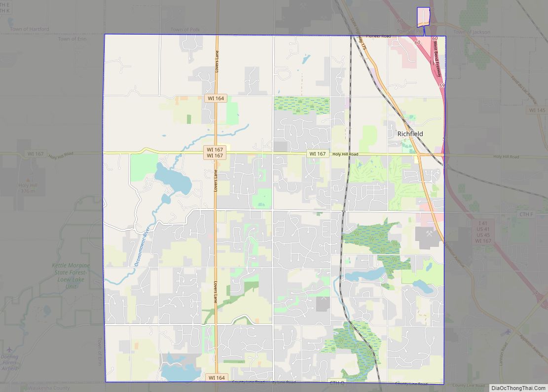
Online Interactive Map
Click on ![]() to view map in "full screen" mode.
to view map in "full screen" mode.
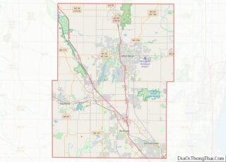
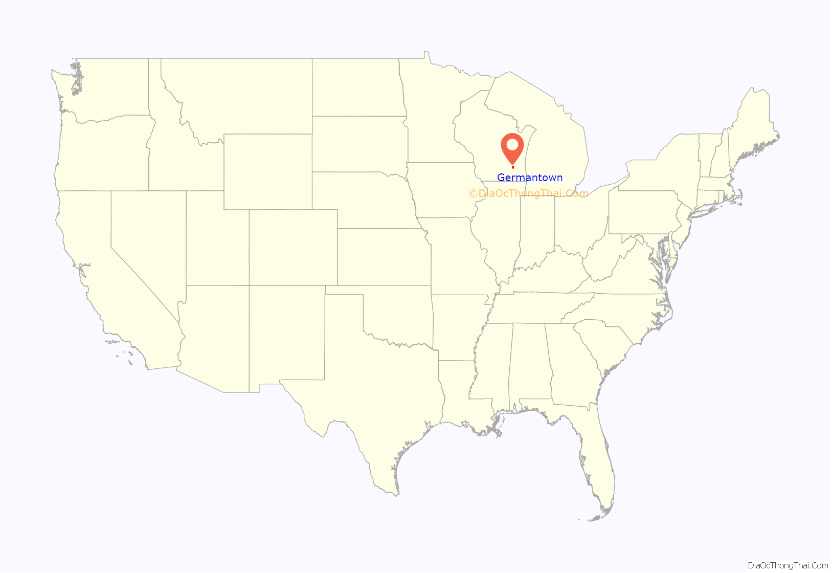
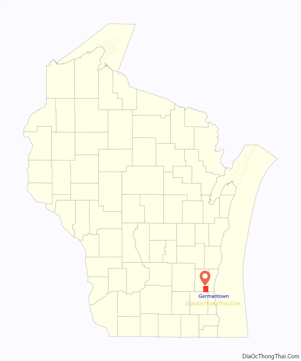
Germantown location map. Where is Germantown village?
History
The land that became Germantown was originally inhabited by members of the Potawatomi tribe. The Potawatomi surrendered the land that became Germantown to the United States Federal Government in 1833 through the 1833 Treaty of Chicago, which (after being ratified in 1835) required them to leave Wisconsin by 1838. While many Native people moved west of the Mississippi River to Kansas, some chose to remain or return after temporarily settling in the west, and were referred to as “strolling Potawatomi” in contemporary documents because many of them were migrants who subsisted by squatting on their ancestral lands, which were now owned by White settlers. In the late 19th and early 20th centuries, the Potawatomi who evaded forced removal gathered in northern Wisconsin and the Upper Peninsula of Michigan where many worked in the timber industry and formed the Forest County Potawatomi Community.
The community was originally designated as the Wisconsin Territory’s “Town Nine,” making it the oldest settlement in Washington County. Beginning in the 1840s, many German immigrants—particularly from the regions of Bavaria, Hessen, Rheinland, Pommern, and Prussia [1] —settled in the area, which led to it being named “Germantown.”
The territorial legislature created the Town of Germantown on January 21, 1846, and the first town meeting was on April 7 of the same year. The town included the then-unincorporated communities of Dheinsville, Goldenthal, Kuhberg (later known as Victory Center), Meeker Hill, Rockfield, South Germantown, and Willow Creek.
In the 19th and early 20th centuries, Germantown’s economy relied heavily on agriculture, including dairy farming. The southern part of Germantown is rich in Silurian limestone, which was quarried beginning in the 1870s, particularly in the Rockfield and South Germantown areas. South Germantown was a stop on the Chicago, Milwaukee, and St. Paul starting in the late 19th century, and the hamlet grew and prospered because of its rail connects to other communities.
In 1927, South Germantown incorporated as the Village of Germantown out of some of the town’s land but was significantly smaller than it is in the 21st century.
From July 1944 until January 1946, the hamlet of Rockfield in present-day Germantown was the site of Camp Rockfield, an Allied prisoner of war camp that held 500 German prisoners of war, including captured members of the Afrika Korps and many soldiers captured at the Battle of Cherbourg. The prisoners had originally been held at Fort Sheridan, north of Chicago, but were transferred to camps in rural Wisconsin, such as the one at Rockfield, to work in agriculture. The prisoners lived in a barracks that had originally been built as a warehouse for the local Rockfield Canning Company, where many prisoners worked as pea packers. Other POWs were transported to work sites throughout Ozaukee and Washington counties, including the Pick Manufacturing Company in West Bend and the Fromm Bros., Nieman & Co. Fox Ranch in northern Mequon.
In 1963, Milwaukee annexed a small parcel in the southeastern part of the Town of Germantown to expand a landfill. Residents feared that Milwaukee would soon annex more of the town. As a defensive measure, the Village of Germantown annexed all of the surrounding unincorporated hamlets, which became neighborhoods of the village. At the time of the 1963 annexation, Germantown grew to an area of approximately 24 square miles. The village has subsequently annexed most of the town’s land, and now has an area of over 34 square miles.
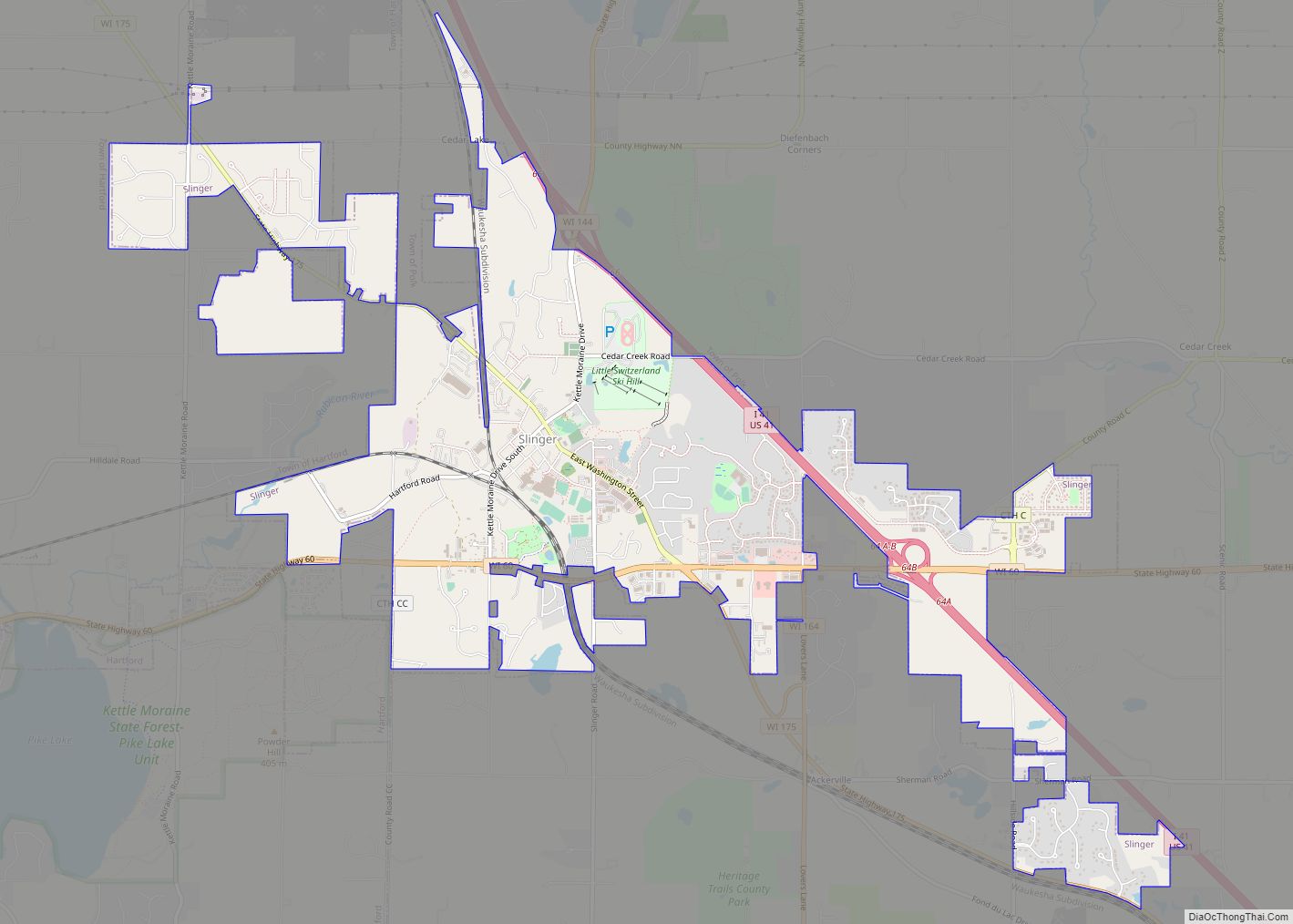
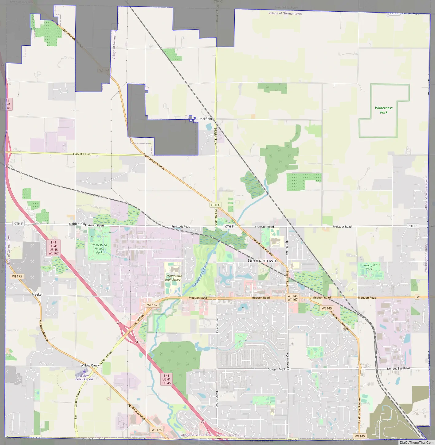
Germantown Road Map
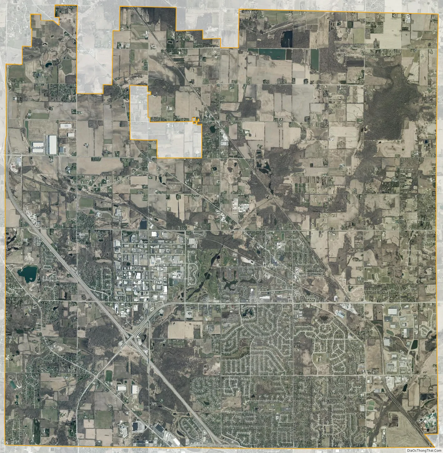
Germantown city Satellite Map
Geography
Germantown is located at 43°13′23″N 88°7′13″W / 43.22306°N 88.12028°W / 43.22306; -88.12028 (43.223206, −88.120433).
According to Wisconsin First Nations (a Wisconsin Department of Public Instruction resource), Germantown is located on Potawatomi treaty land. The village also falls within the lands of the Peoria, Menominee, Miami, and Sioux Indigenous peoples, as shown by Canadian not-for-profit organization Native Land Digital.
The United States Census Bureau indicates Germantown has a total area of 34.45 square miles (89.23 km), of which, 34.42 square miles (89.15 km) of it is land and 0.03 square miles (0.08 km) is water.
See also
Map of Wisconsin State and its subdivision:- Adams
- Ashland
- Barron
- Bayfield
- Brown
- Buffalo
- Burnett
- Calumet
- Chippewa
- Clark
- Columbia
- Crawford
- Dane
- Dodge
- Door
- Douglas
- Dunn
- Eau Claire
- Florence
- Fond du Lac
- Forest
- Grant
- Green
- Green Lake
- Iowa
- Iron
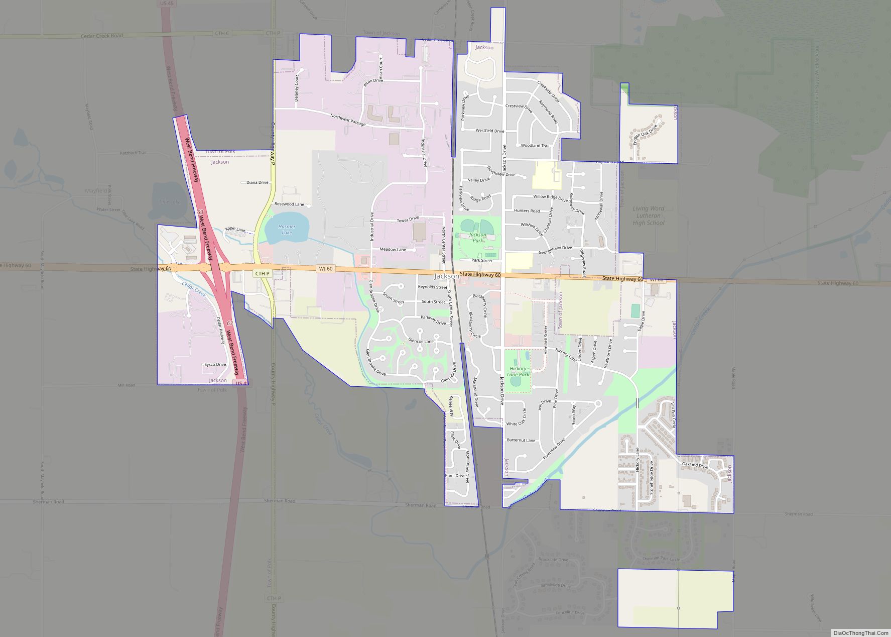
- Jackson
- Jefferson
- Juneau
- Kenosha
- Kewaunee
- La Crosse
- Lafayette
- Lake Michigan
- Lake Superior
- Langlade
- Lincoln
- Manitowoc
- Marathon
- Marinette
- Marquette
- Menominee
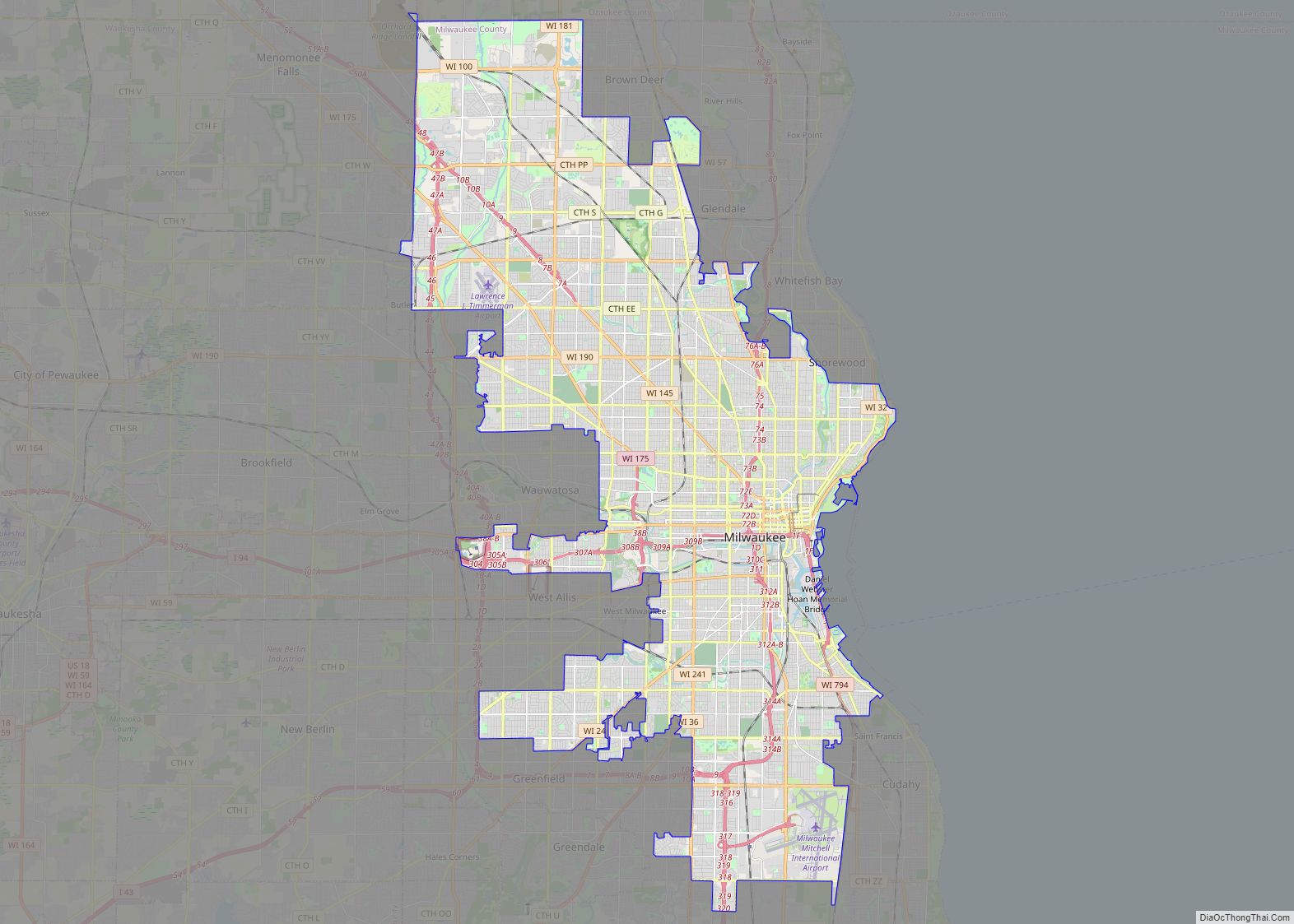
- Milwaukee
- Monroe
- Oconto
- Oneida
- Outagamie
- Ozaukee
- Pepin
- Pierce
- Polk
- Portage
- Price
- Racine
- Richland
- Rock
- Rusk
- Saint Croix
- Sauk
- Sawyer
- Shawano
- Sheboygan
- Taylor
- Trempealeau
- Vernon
- Vilas
- Walworth
- Washburn
- Washington
- Waukesha
- Waupaca
- Waushara
- Winnebago
- Wood
- Alabama
- Alaska
- Arizona
- Arkansas
- California
- Colorado
- Connecticut
- Delaware
- District of Columbia
- Florida
- Georgia
- Hawaii
- Idaho
- Illinois
- Indiana
- Iowa
- Kansas
- Kentucky
- Louisiana
- Maine
- Maryland
- Massachusetts
- Michigan
- Minnesota
- Mississippi
- Missouri
- Montana
- Nebraska
- Nevada
- New Hampshire
- New Jersey
- New Mexico
- New York
- North Carolina
- North Dakota
- Ohio
- Oklahoma
- Oregon
- Pennsylvania
- Rhode Island
- South Carolina
- South Dakota
- Tennessee
- Texas
- Utah
- Vermont
- Virginia
- Washington
- West Virginia
- Wisconsin
- Wyoming