Map of Belington town
Belington is a town in Barbour County, West Virginia, United States, situated along the Tygart Valley River. The population was 1,804 as of the 2020 census. Belington town overview: Name: Belington town LSAD Code: 43 LSAD Description: town (suffix) State: West Virginia County: Barbour County Incorporated: 1894-08-22 Elevation: 1,703 ft (519 m) Total Area: 2.13 sq mi (5.52 km²) Land ... Read more
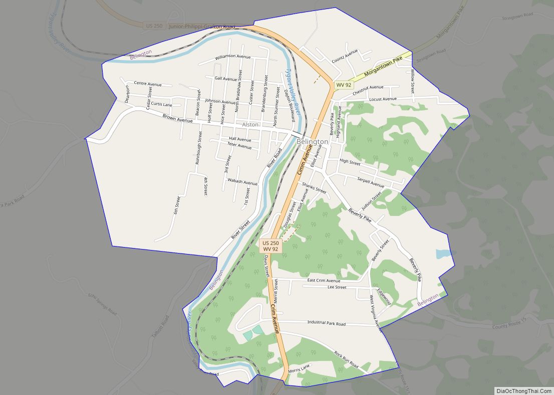
Map of Belington town
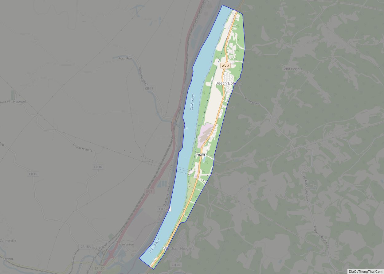
Map of Beech Bottom village
Beech Bottom is a village in Brooke County, West Virginia, United States, situated along the Ohio River. The population was 523 at the 2010 census. It is part of the Weirton–Steubenville metropolitan area. Beech Bottom village overview: Name: Beech Bottom village LSAD Code: 47 LSAD Description: village (suffix) State: West Virginia County: Brooke County Elevation: ... Read more
Map of Beech Bottom village
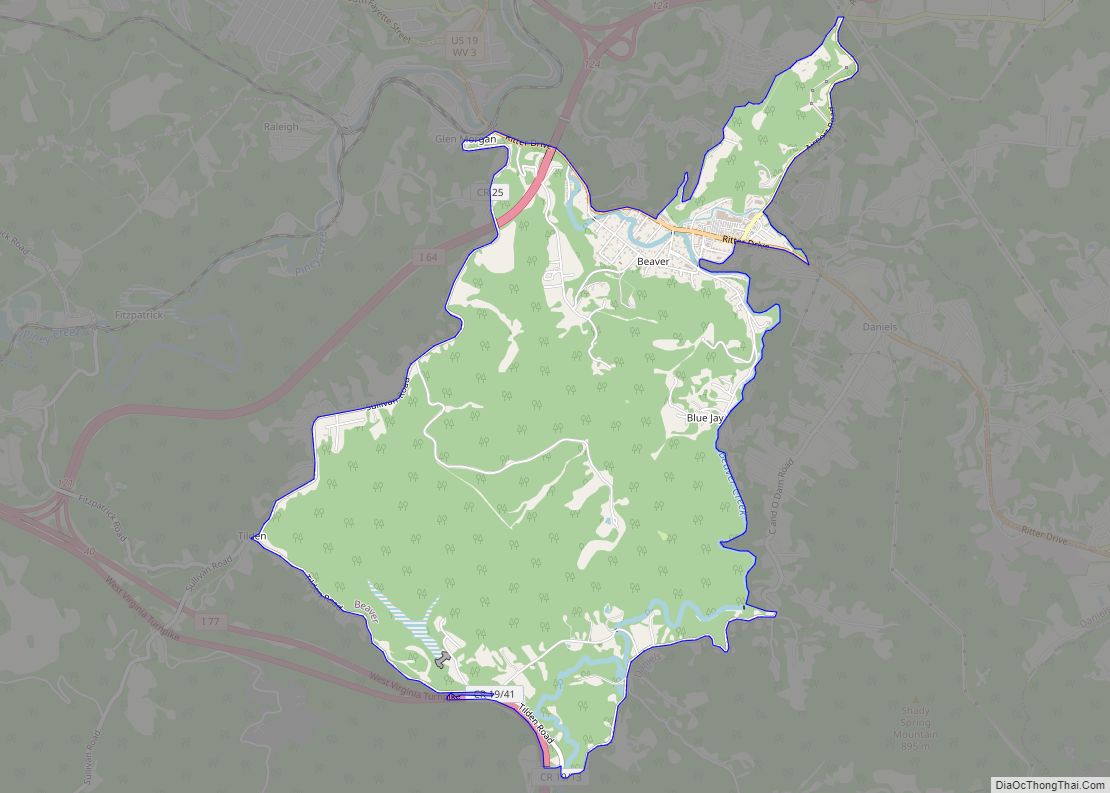
Map of Beaver CDP, West Virginia
Beaver is a census-designated place (C.D.P.) in Raleigh County, West Virginia, United States. The population was 1,308 at the 2010 census. Beaver CDP overview: Name: Beaver CDP LSAD Code: 57 LSAD Description: CDP (suffix) State: West Virginia County: Raleigh County Elevation: 2,156 ft (657 m) Total Area: 4.4 sq mi (11.4 km²) Land Area: 4.4 sq mi (11.4 km²) Water Area: 0.0 sq mi (0.0 km²) ... Read more
Map of Beaver CDP, West Virginia
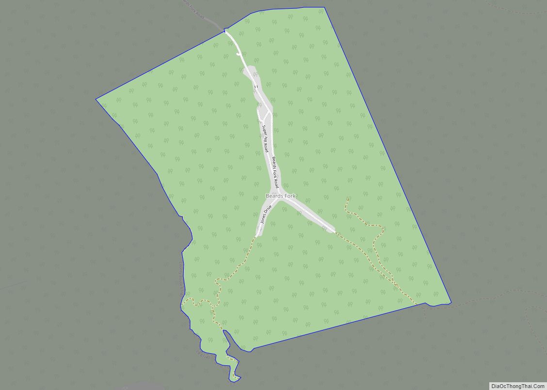
Map of Beards Fork CDP
Beards Fork is a census-designated place (CDP) and coal town in Fayette County, West Virginia, United States that was founded as a coal town. As of the 2010 census, its population was 199. Beards Fork CDP overview: Name: Beards Fork CDP LSAD Code: 57 LSAD Description: CDP (suffix) State: West Virginia County: Fayette County Elevation: ... Read more
Map of Beards Fork CDP
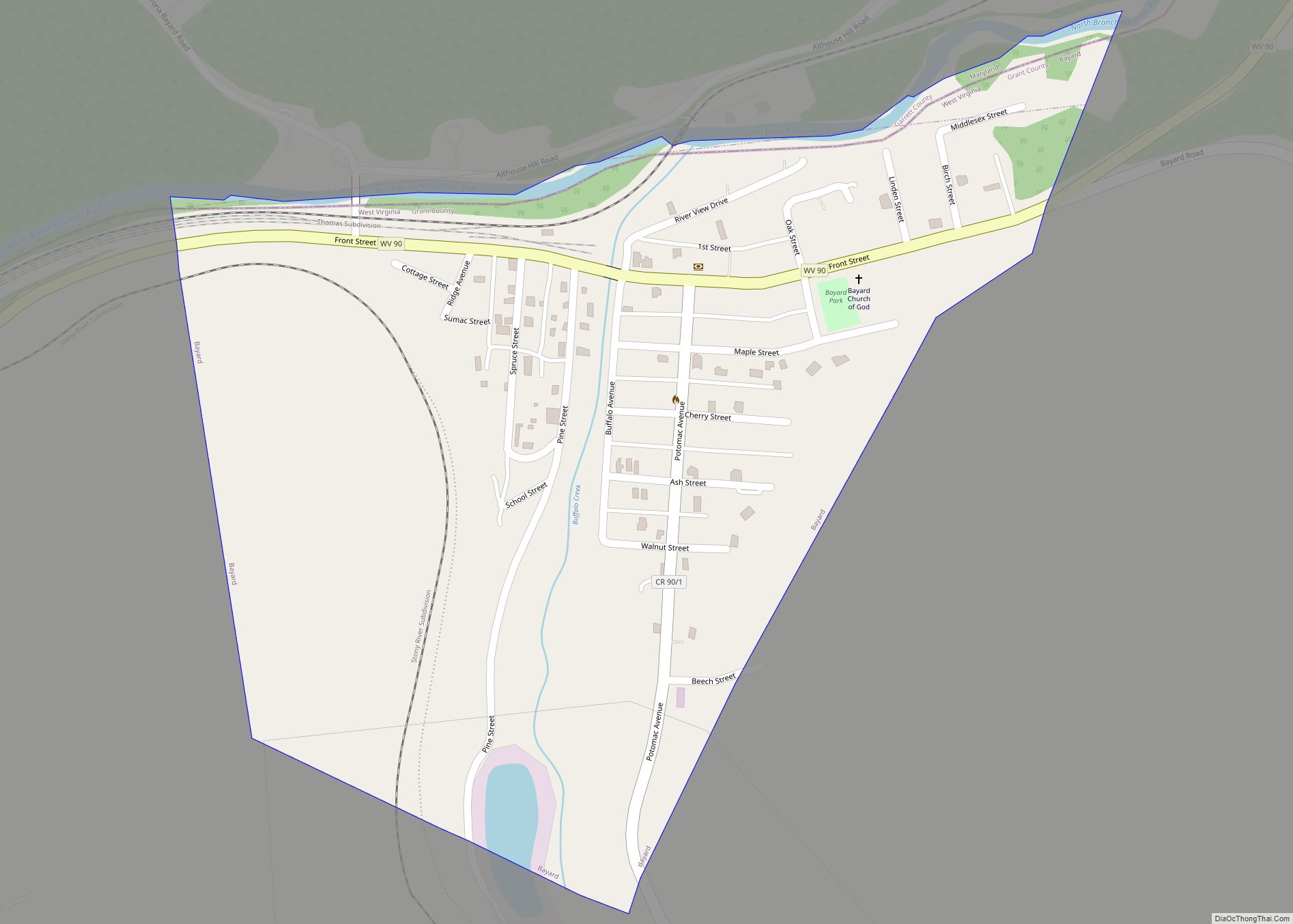
Map of Bayard town, West Virginia
Bayard is a town in Grant County, West Virginia, United States. The population was 200 at the 2020 census. Bayard was incorporated in 1893 and named in honor of Thomas F. Bayard, Jr., who later became a United States senator from Delaware (1923–1929). Bayard was founded on the West Virginia Central and Pittsburgh Railroad as ... Read more
Map of Bayard town, West Virginia
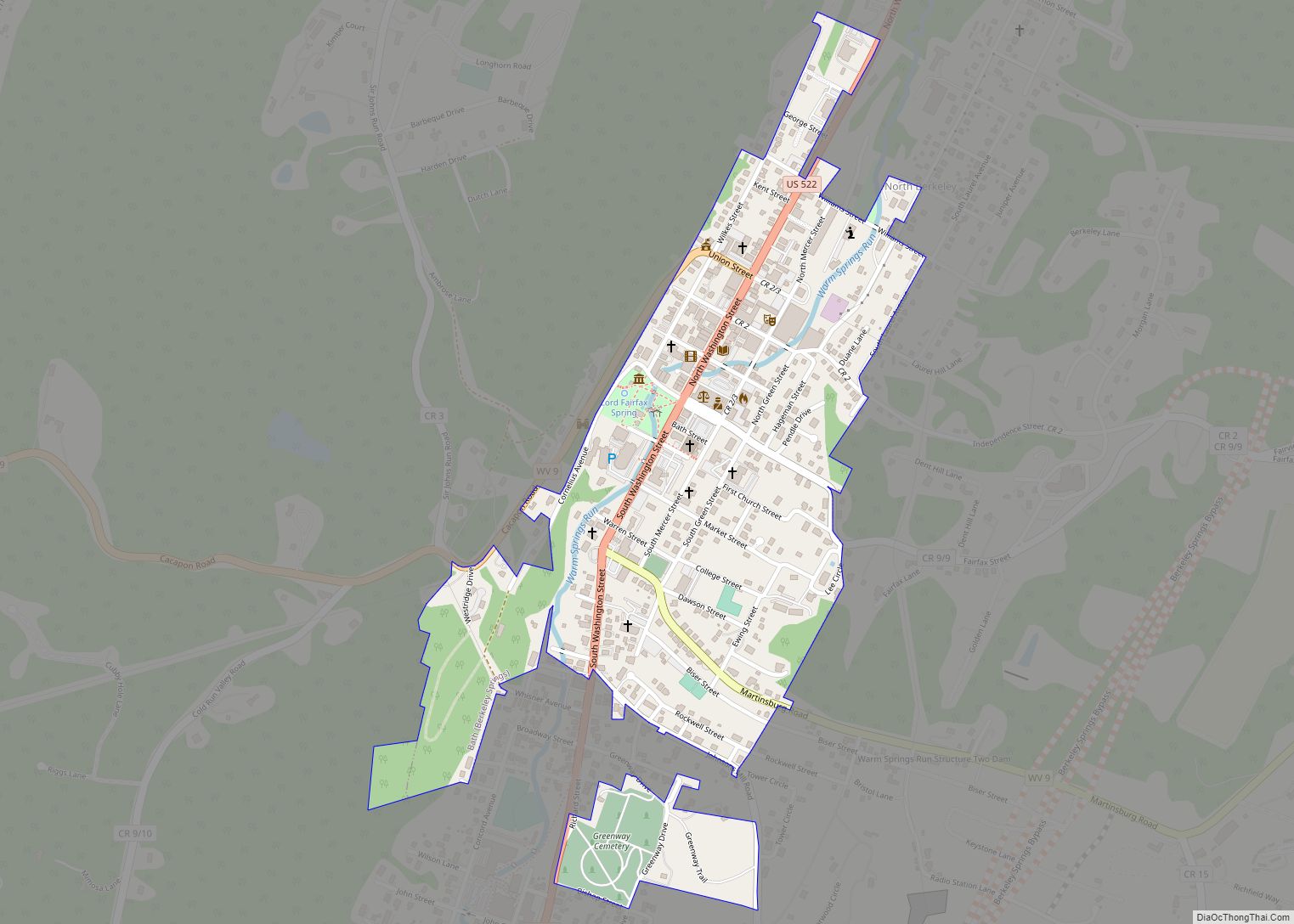
Map of Bath (Berkeley Springs) town
Bath (Berkeley Springs) town overview: Name: Bath (Berkeley Springs) town LSAD Code: 43 LSAD Description: town (suffix) State: West Virginia County: Morgan County FIPS code: 5404876 Online Interactive Map Bath (Berkeley Springs) online map. Source: Basemap layers from Google Map, Open Street Map (OSM), Arcgisonline, Wmflabs. Boundary Data from Database of Global Administrative Areas. Bath ... Read more
Map of Bath (Berkeley Springs) town
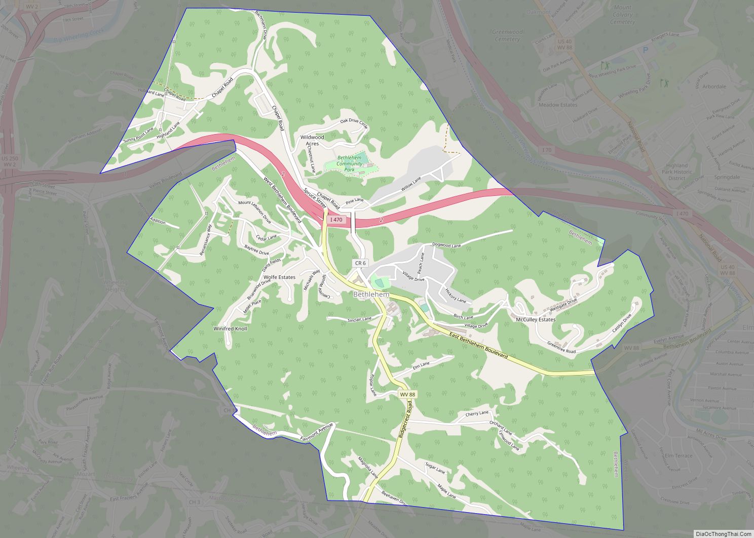
Map of Bethlehem village, West Virginia
Bethlehem is a village in Ohio County, West Virginia, United States. It is part of the Wheeling, West Virginia Metropolitan Statistical Area. The population was 2,499 at the 2010 census. Bethlehem village overview: Name: Bethlehem village LSAD Code: 47 LSAD Description: village (suffix) State: West Virginia County: Ohio County Elevation: 1,247 ft (380 m) Total Area: 3.54 sq mi ... Read more
Map of Bethlehem village, West Virginia
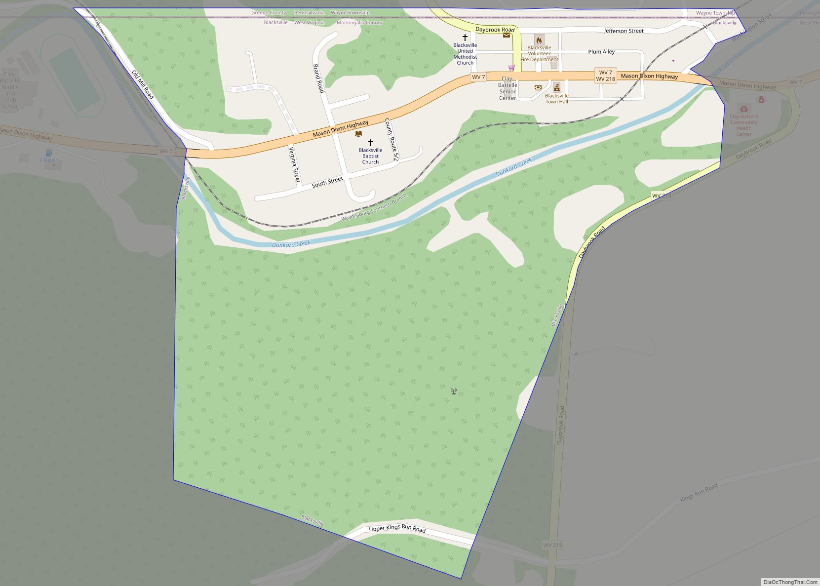
Map of Blacksville town
Blacksville is a Incorporated Town in Monongalia County, West Virginia, United States. The population was 118 at the 2020 census. It is included in the Morgantown, West Virginia Metropolitan Statistical Area. The Town of Blacksville has a C1 Census Class Code which indicates an active incorporated place that does not serve as a county subdivision ... Read more
Map of Blacksville town
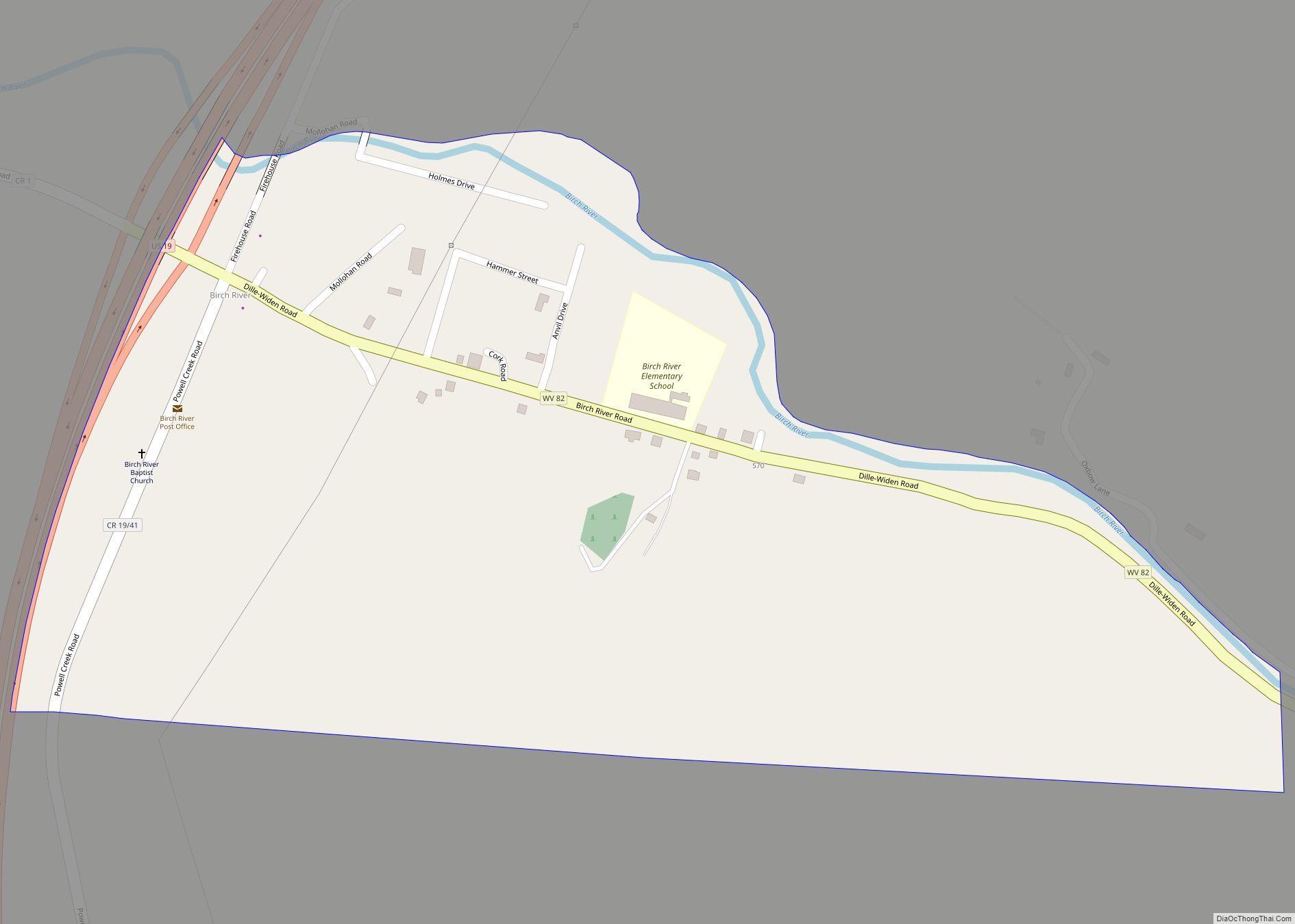
Map of Birch River CDP
Birch River is a census-designated place (CDP) in northern Nicholas County, West Virginia, United States. The community is situated in the valley of the Birch River and is the location of the western terminus of West Virginia Route 82, at U.S. Route 19. As of the 2010 census, its population was 107. Birch River CDP ... Read more
Map of Birch River CDP
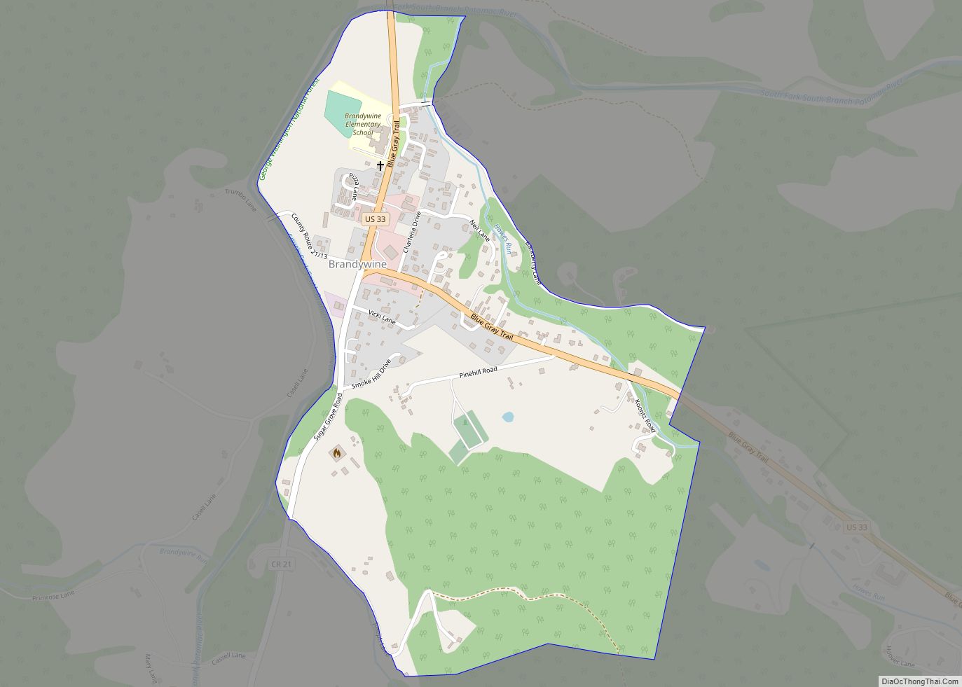
Map of Brandywine CDP, West Virginia
Brandywine is a census-designated place (CDP) located on U.S. Highway 33 in Pendleton County, West Virginia, United States. The town lies along the South Fork South Branch Potomac River at its confluence with Hawes Run. At the 2019 census, its population was 147. Located nearby within the George Washington National Forest is the Brandywine Recreation ... Read more
Map of Brandywine CDP, West Virginia
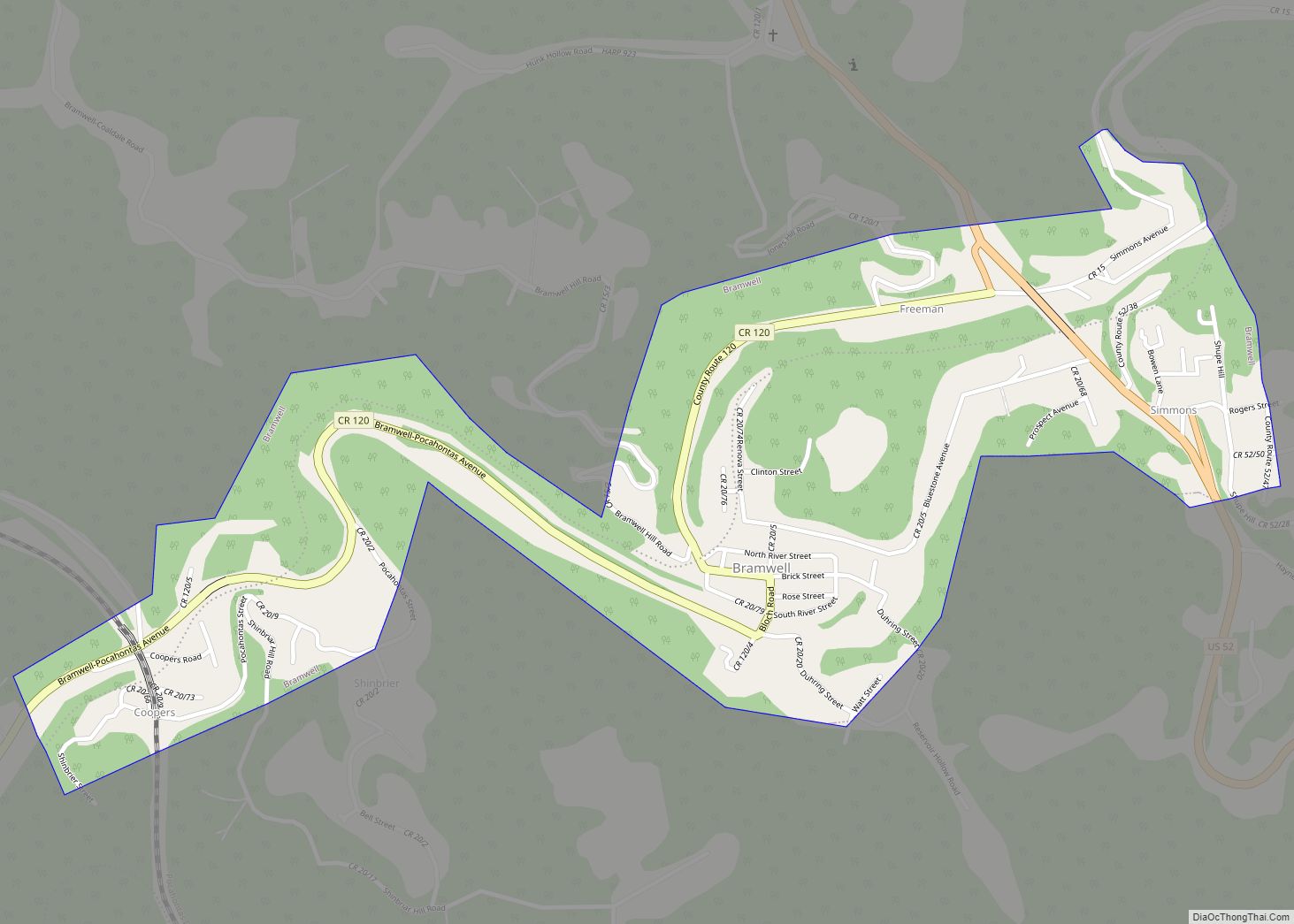
Map of Bramwell town
Bramwell is a town in Mercer County, West Virginia, United States, along the Bluestone River. The population was 277 at the 2020 census. It is part of the Bluefield, WV-VA micropolitan area which has a population of 107,578. Bramwell town overview: Name: Bramwell town LSAD Code: 43 LSAD Description: town (suffix) State: West Virginia County: ... Read more
Map of Bramwell town
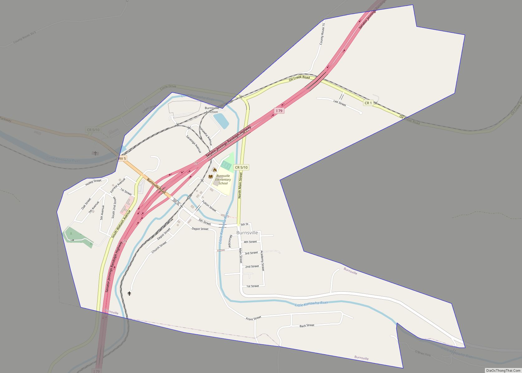
Map of Burnsville town, West Virginia
Burnsville is a town in Braxton County, West Virginia, United States, at the confluence of the Little Kanawha River and Saltlick Creek. The population was 401 at the 2020 census. Burnsville was incorporated in 1902 by the Circuit Court and named for Captain John Burns who operated the first sawmill in that section of the ... Read more
Map of Burnsville town, West Virginia