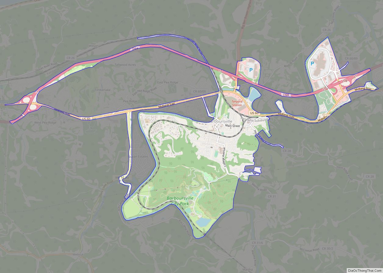
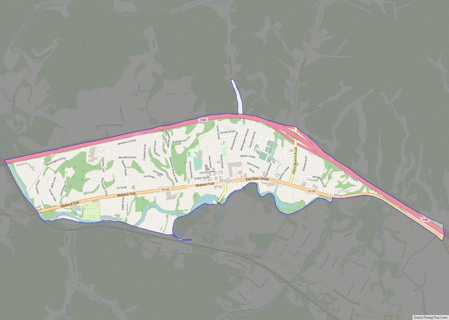
Barboursville is a village in Cabell County, West Virginia. The population was 3,964 at the 2020 census. It is part of the Huntington–Ashland metropolitan area.
| Name: | Barboursville village |
|---|---|
| LSAD Code: | 47 |
| LSAD Description: | village (suffix) |
| State: | West Virginia |
| County: | Cabell County |
| Elevation: | 581 ft (177 m) |
| Total Area: | 4.19 sq mi (10.84 km²) |
| Land Area: | 4.09 sq mi (10.60 km²) |
| Water Area: | 0.10 sq mi (0.25 km²) |
| Total Population: | 3,964 |
| Population Density: | 1,040.82/sq mi (401.87/km²) |
| ZIP code: | 25504 |
| FIPS code: | 5404276 |
| GNISfeature ID: | 1553799 |
Online Interactive Map
Click on ![]() to view map in "full screen" mode.
to view map in "full screen" mode.
Barboursville location map. Where is Barboursville village?


History
Barboursville was platted in 1813.
The Barboursville Historic District was listed on the National Register of Historic Places in 2008. The Thornburg House was separately listed in 1991. Barboursville also contains the historic Miller House, a building constructed in 1835 by local pioneer William Clendenin Miller, grandson of Major George Clendenin, who served under Lt. Colonel Daniel Boone in the 1774 Battle of Point Pleasant, and along with Boone was the first representative of Kanawha County.
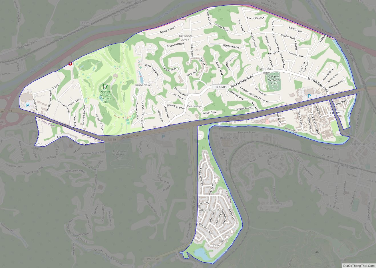
Barboursville Road Map
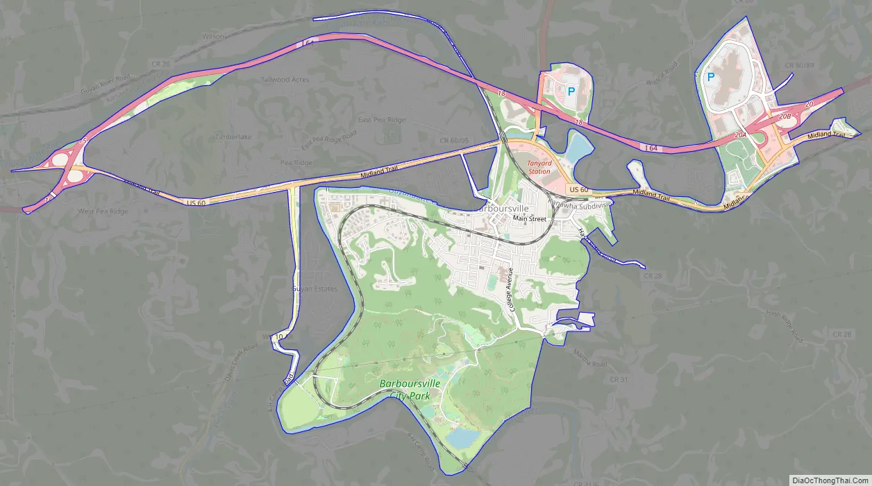
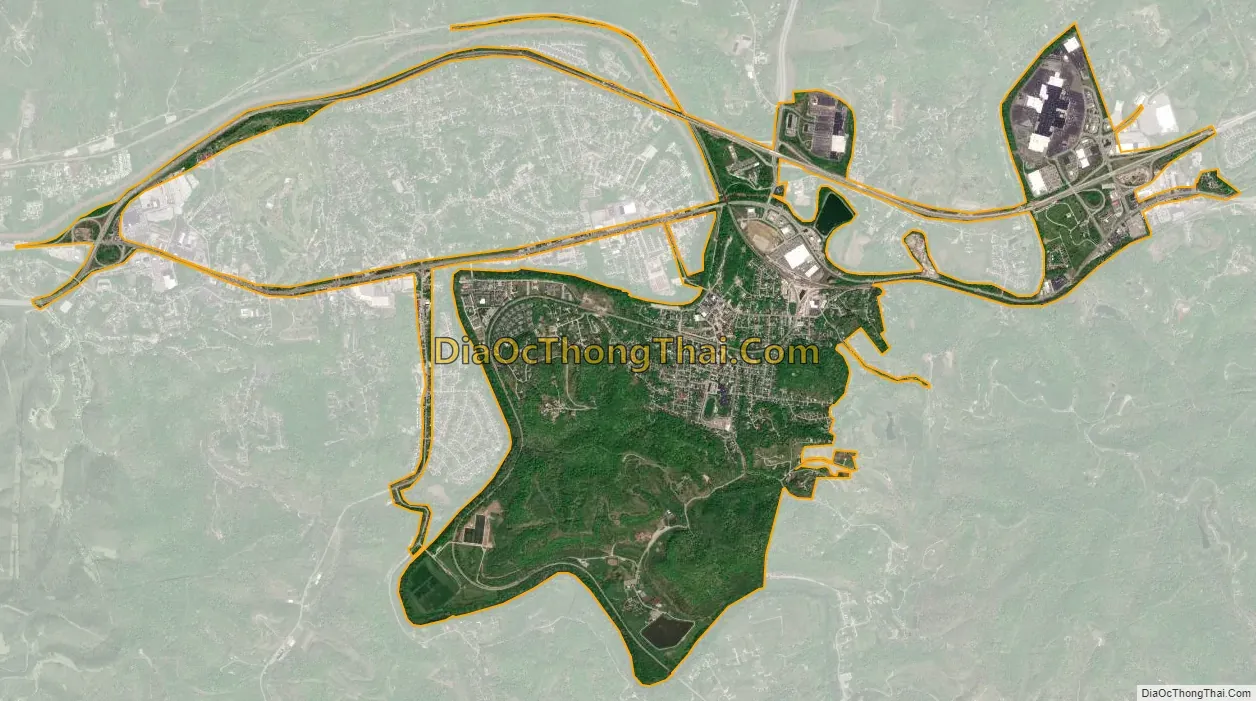
Barboursville city Satellite Map
Geography
Barboursville is located at 38°24′40″N 82°17′52″W / 38.41111°N 82.29778°W / 38.41111; -82.29778 (38.411002, -82.297758). According to the United States Census Bureau, the village has a total area of 4.19 square miles (10.85 km), of which 4.09 square miles (10.59 km) is land and 0.10 square miles (0.26 km) is water. The confluence of the Mud River and the Guyandotte River is just north of the village.
See also
Map of West Virginia State and its subdivision:- Barbour
- Berkeley
- Boone
- Braxton
- Brooke
- Cabell
- Calhoun
- Clay
- Doddridge
- Fayette
- Gilmer
- Grant
- Greenbrier
- Hampshire
- Hancock
- Hardy
- Harrison
- Jackson
- Jefferson
- Kanawha
- Lewis
- Lincoln
- Logan
- Marion
- Marshall
- Mason
- McDowell
- Mercer
- Mineral
- Mingo
- Monongalia
- Monroe
- Morgan
- Nicholas
- Ohio
- Pendleton
- Pleasants
- Pocahontas
- Preston
- Putnam
- Raleigh
- Randolph
- Ritchie
- Roane
- Summers
- Taylor
- Tucker
- Tyler
- Upshur
- Wayne
- Webster
- Wetzel
- Wirt
- Wood
- Wyoming
- Alabama
- Alaska
- Arizona
- Arkansas
- California
- Colorado
- Connecticut
- Delaware
- District of Columbia
- Florida
- Georgia
- Hawaii
- Idaho
- Illinois
- Indiana
- Iowa
- Kansas
- Kentucky
- Louisiana
- Maine
- Maryland
- Massachusetts
- Michigan
- Minnesota
- Mississippi
- Missouri
- Montana
- Nebraska
- Nevada
- New Hampshire
- New Jersey
- New Mexico
- New York
- North Carolina
- North Dakota
- Ohio
- Oklahoma
- Oregon
- Pennsylvania
- Rhode Island
- South Carolina
- South Dakota
- Tennessee
- Texas
- Utah
- Vermont
- Virginia
- Washington
- West Virginia
- Wisconsin
- Wyoming