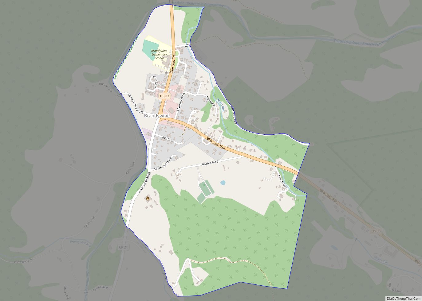
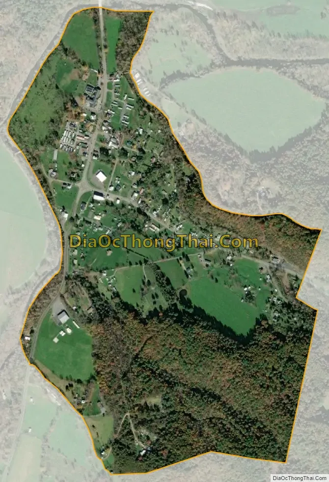
Brandywine is a census-designated place (CDP) located on U.S. Highway 33 in Pendleton County, West Virginia, United States. The town lies along the South Fork South Branch Potomac River at its confluence with Hawes Run. At the 2019 census, its population was 147.
Located nearby within the George Washington National Forest is the Brandywine Recreation Area which includes Brandywine Lake, a reservoir on Hawes Run created by the South Fork Structure Number 13 Dam.
Located near Brandywine is the Old Probst Church, listed on the National Register of Historic Places in 1986.
| Name: | Brandywine CDP |
|---|---|
| LSAD Code: | 57 |
| LSAD Description: | CDP (suffix) |
| State: | West Virginia |
| County: | Pendleton County |
| Total Area: | 0.491 sq mi (1.27 km²) |
| Land Area: | 0.491 sq mi (1.27 km²) |
| Water Area: | 0 sq mi (0 km²) |
| Total Population: | 147 |
| Population Density: | 300/sq mi (120/km²) |
| FIPS code: | 5409868 |
| GNISfeature ID: | 2586770 |
Online Interactive Map
Click on ![]() to view map in "full screen" mode.
to view map in "full screen" mode.
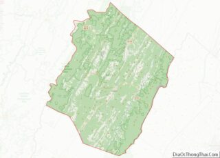
Brandywine location map. Where is Brandywine CDP?


Brandywine Road Map

Brandywine city Satellite Map
See also
Map of West Virginia State and its subdivision:- Barbour
- Berkeley
- Boone
- Braxton
- Brooke
- Cabell
- Calhoun
- Clay
- Doddridge
- Fayette
- Gilmer
- Grant
- Greenbrier
- Hampshire
- Hancock
- Hardy
- Harrison
- Jackson
- Jefferson
- Kanawha
- Lewis
- Lincoln
- Logan
- Marion
- Marshall
- Mason
- McDowell
- Mercer
- Mineral
- Mingo
- Monongalia
- Monroe
- Morgan
- Nicholas
- Ohio
- Pendleton
- Pleasants
- Pocahontas
- Preston
- Putnam
- Raleigh
- Randolph
- Ritchie
- Roane
- Summers
- Taylor
- Tucker
- Tyler
- Upshur
- Wayne
- Webster
- Wetzel
- Wirt
- Wood
- Wyoming
- Alabama
- Alaska
- Arizona
- Arkansas
- California
- Colorado
- Connecticut
- Delaware
- District of Columbia
- Florida
- Georgia
- Hawaii
- Idaho
- Illinois
- Indiana
- Iowa
- Kansas
- Kentucky
- Louisiana
- Maine
- Maryland
- Massachusetts
- Michigan
- Minnesota
- Mississippi
- Missouri
- Montana
- Nebraska
- Nevada
- New Hampshire
- New Jersey
- New Mexico
- New York
- North Carolina
- North Dakota
- Ohio
- Oklahoma
- Oregon
- Pennsylvania
- Rhode Island
- South Carolina
- South Dakota
- Tennessee
- Texas
- Utah
- Vermont
- Virginia
- Washington
- West Virginia
- Wisconsin
- Wyoming