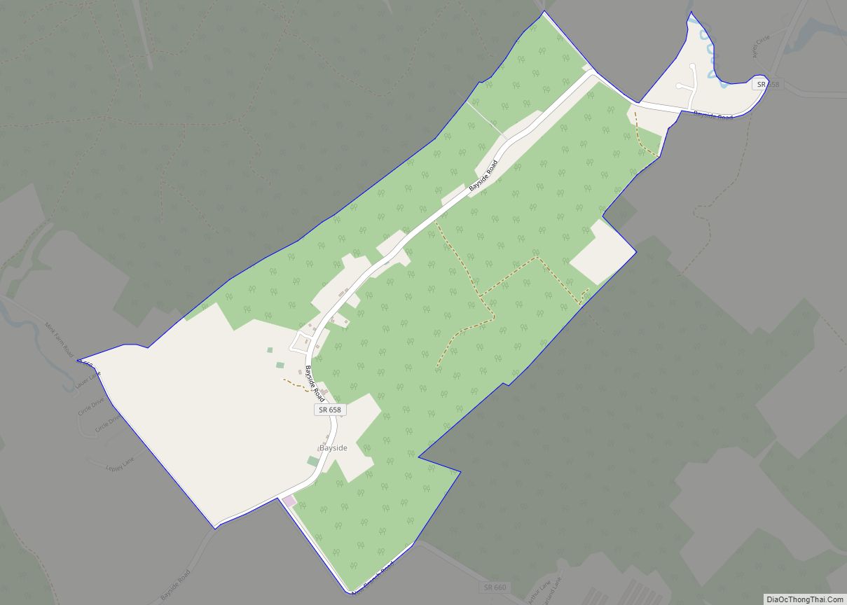
Map of Blacksburg town, Virginia
Blacksburg is an incorporated town in Montgomery County, Virginia, with a population of 44,826 at the 2020 census. Blacksburg, as well as the surrounding county, is dominated economically and demographically by the presence of Virginia Tech (Virginia Polytechnic Institute and State University). Blacksburg, Christiansburg, and the city of Radford are the three principal jurisdictions of ... Read more
Map of Blacksburg town, Virginia
Map of Bon Air CDP, Virginia
Bon Air is a census-designated place (CDP) in Chesterfield County, Virginia, United States. The population was 18,022 at the 2020 census. The community is considered a suburb of the independent city of Richmond in the Richmond-Petersburg region and is a part of the Southside neighborhoods. Originally developed as a resort, a central portion of Bon ... Read more
Map of Bon Air CDP, Virginia
Map of Bobtown CDP, Virginia
Bobtown is a census-designated place (CDP) in Accomack County, Virginia, United States. Per the 2020 census, the population was 267. Bobtown CDP overview: Name: Bobtown CDP LSAD Code: 57 LSAD Description: CDP (suffix) State: Virginia County: Accomack County Elevation: 4 m (13 ft) Total Area: 267 FIPS code: 5108320 GNISfeature ID: 2584809 Online Interactive Map Bobtown online ... Read more
Map of Bobtown CDP, Virginia
Map of Bluefield town, Virginia
Bluefield is a town in Tazewell County, Virginia, United States, located along the Bluestone River. The population was 5,096 at the 2020 census. It is part of the Bluefield WV-VA micropolitan area which has a population of 106,363 in 2020. Bluefield town overview: Name: Bluefield town LSAD Code: 43 LSAD Description: town (suffix) State: Virginia ... Read more
Map of Bluefield town, Virginia
Map of Blue Ridge CDP, Virginia
Blue Ridge CDP overview: Name: Blue Ridge CDP LSAD Code: 57 LSAD Description: CDP (suffix) State: Virginia County: Botetourt County FIPS code: 5108200 Online Interactive Map Blue Ridge online map. Source: Basemap layers from Google Map, Open Street Map (OSM), Arcgisonline, Wmflabs. Boundary Data from Database of Global Administrative Areas. Blue Ridge location map. Where ... Read more
Map of Blue Ridge CDP, Virginia
Map of Bloxom town
Bloxom is a town in Accomack County, Virginia, United States. The population was 387 at the 2010 census. Bloxom town overview: Name: Bloxom town LSAD Code: 43 LSAD Description: town (suffix) State: Virginia County: Accomack County Elevation: 20 ft (6 m) Total Area: 0.33 sq mi (0.86 km²) Land Area: 0.33 sq mi (0.86 km²) Water Area: 0.00 sq mi (0.00 km²) Total Population: 387 Population ... Read more
Map of Bloxom town
Map of Boston CDP, Virginia
Boston is a census-designated place (CDP) in Accomack County, Virginia, United States. Per the 2020 census, the population was 454. Boston CDP overview: Name: Boston CDP LSAD Code: 57 LSAD Description: CDP (suffix) State: Virginia County: Accomack County Elevation: 9 m (30 ft) Total Area: 454 FIPS code: 5108675 GNISfeature ID: 2584810 Online Interactive Map Boston online ... Read more
Map of Boston CDP, Virginia
Map of Bridgewater town, Virginia
Bridgewater is an incorporated town in Rockingham County, Virginia, United States. The population was 6,596 at the 2020 census. It is included in the Harrisonburg, Virginia Metropolitan Statistical Area. Bridgewater town overview: Name: Bridgewater town LSAD Code: 43 LSAD Description: town (suffix) State: Virginia County: Rockingham County Founded: 1835 Elevation: 1,178 ft (359 m) Total Area: 2.52 sq mi ... Read more
Map of Bridgewater town, Virginia
Map of Brambleton CDP
Brambleton is a census-designated place (CDP) in Loudoun County, Virginia, United States, south of the Dulles Greenway. The population as of the 2010 United States Census was 9,845. In 2017, Brambleton had an estimated population of 19,900, with a median age of 34.3 and a median household income of $173,690. Between 2016 and 2017 the ... Read more
Map of Brambleton CDP
Map of Bracey CDP
Bracey is a census-designated place (CDP) in Mecklenburg County, Virginia, United States. It is located next to South Hill, La Crosse, and Brodnax also in Mecklenburg County. The CDP had an estimated population of 1,554 in 2010. Bracey CDP overview: Name: Bracey CDP LSAD Code: 57 LSAD Description: CDP (suffix) State: Virginia County: Mecklenburg County ... Read more
Map of Bracey CDP
Map of Bowling Green town, Virginia
Bowling Green is an incorporated town in Caroline County, Virginia, United States. The population was 1,111 at the 2010 census. The county seat of Caroline County since 1803, Bowling Green is best known as the “cradle of American horse racing”, the home of the second oldest Virginia Masonic Lodge, and the current location of the ... Read more
Map of Bowling Green town, Virginia
Map of Brodnax town
Brodnax is a town in Brunswick and Mecklenburg counties in the U.S. state of Virginia. The population was 298 at the 2010 census. Brodnax town overview: Name: Brodnax town LSAD Code: 43 LSAD Description: town (suffix) State: Virginia County: Brunswick County, Mecklenburg County Elevation: 410 ft (125 m) Total Area: 0.71 sq mi (1.84 km²) Land Area: 0.70 sq mi (1.83 km²) Water ... Read more
Map of Brodnax town