Bridgewater is an incorporated town in Rockingham County, Virginia, United States. The population was 6,596 at the 2020 census. It is included in the Harrisonburg, Virginia Metropolitan Statistical Area.
| Name: | Bridgewater town |
|---|---|
| LSAD Code: | 43 |
| LSAD Description: | town (suffix) |
| State: | Virginia |
| County: | Rockingham County |
| Founded: | 1835 |
| Elevation: | 1,178 ft (359 m) |
| Total Area: | 2.52 sq mi (6.54 km²) |
| Land Area: | 2.52 sq mi (6.53 km²) |
| Water Area: | 0.01 sq mi (0.01 km²) |
| Total Population: | 6,596 |
| Population Density: | 2,618.5/sq mi (6,318.7/km²) |
| ZIP code: | 22812 |
| Area code: | 540 & 826 |
| FIPS code: | 5109656 |
| GNISfeature ID: | 1492628 |
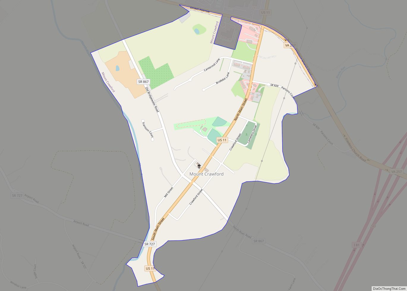
Online Interactive Map
Click on ![]() to view map in "full screen" mode.
to view map in "full screen" mode.
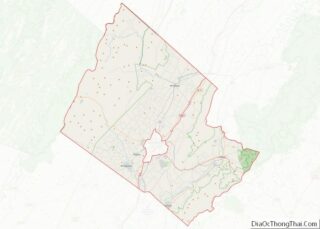
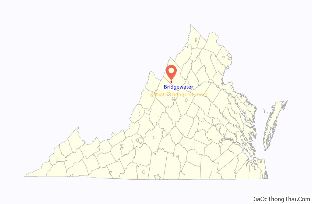
Bridgewater location map. Where is Bridgewater town?

History
William Magill first settled along the North River in 1746, and the area became known as Magill’s Ford. The first bridge across the North River was built in 1820, and for a time the young community was known as Bridgeport. The Town received its charter from the Virginia General Assembly on February 7, 1835, then incorporated as Bridgewater. Every February 7, the Town holds an annual Charter Day celebration to commemorate the granting of the charter.
Bridgewater College is located within the Town, and was first established in 1880. The college has grown along with the Town, now enrolling more than 1,800 students.
Since the creation of the Town in 1835, Bridgewater has endured six major floods, including a devastating flood in 1949 that claimed two lives. As a result, the US Army Corps of Engineers constructed a long earthen levee to protect large portions of the Town against future flooding.
Since the mid-1990s, the Town has held a “Summer’s End Celebration” on Labor Day each year. The event has grown to include a 5k race, carnival rides, and live music, and is attended by thousands of people.
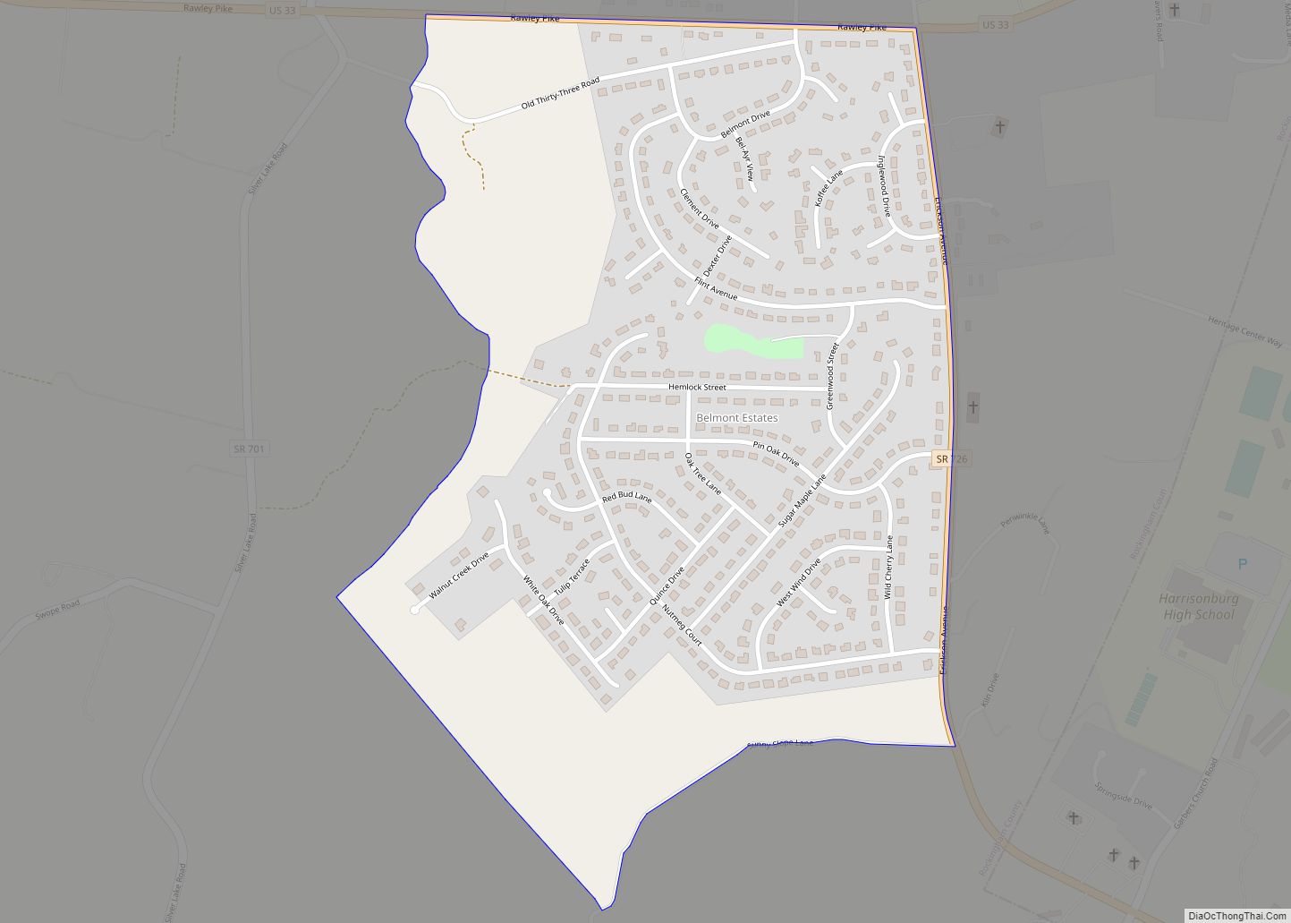
Bridgewater Road Map

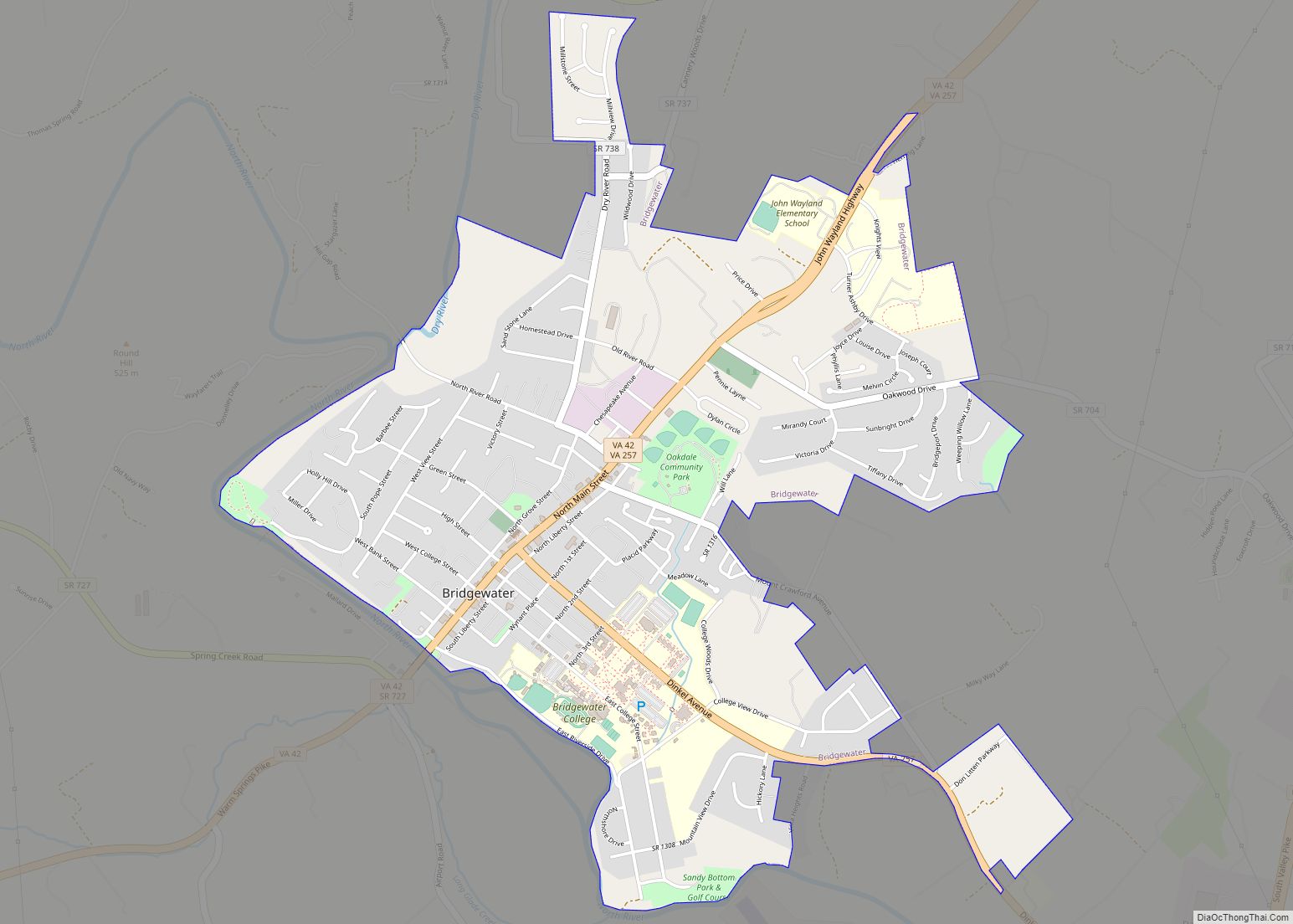
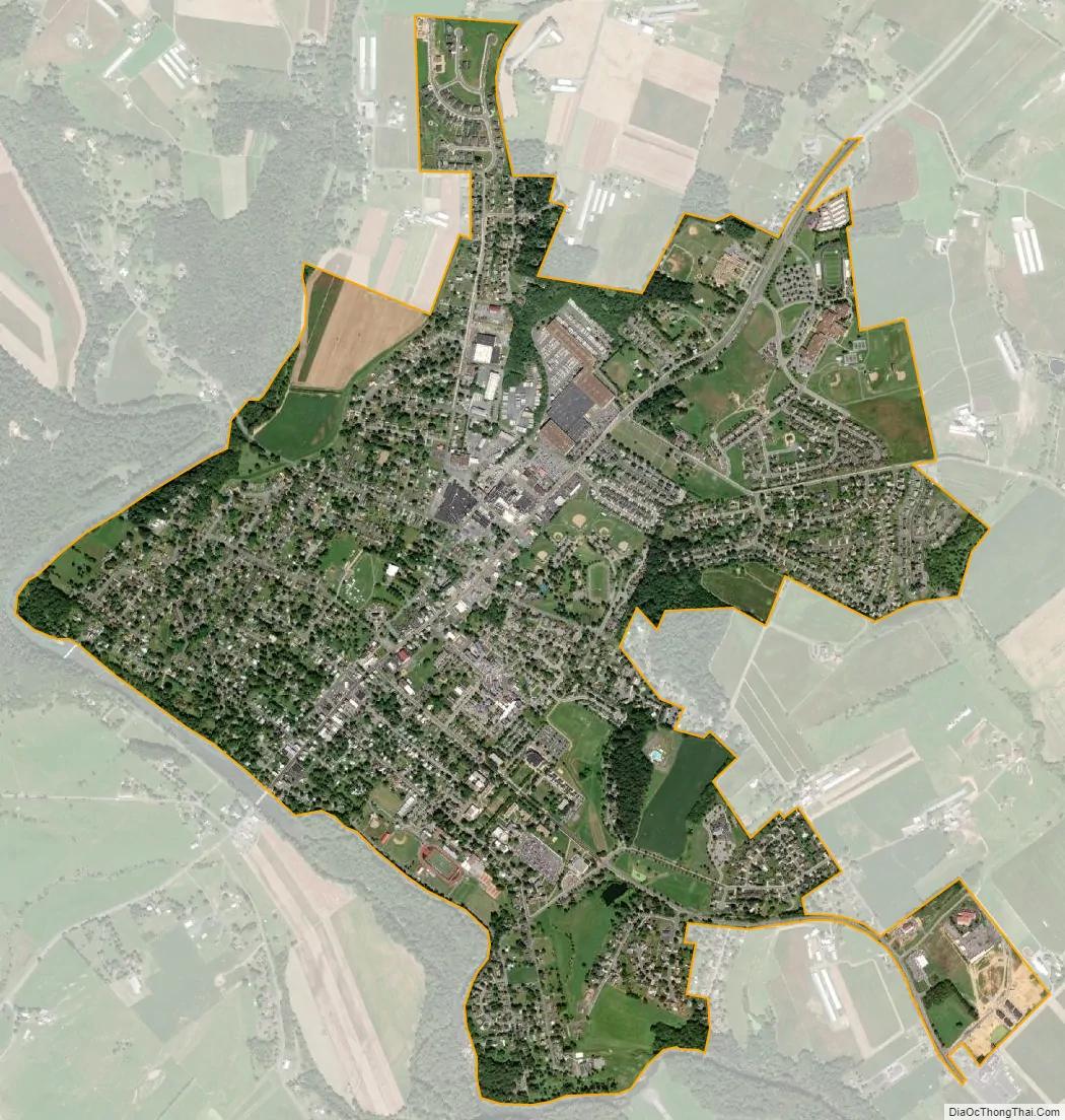
Bridgewater city Satellite Map
Geography
According to the United States Census Bureau, the town has a total area of 2.52 sq mi (6.5 km), nearly all of it being land. Most of the town is located within a bend of the North River. Floods have wrecked the town occasionally. The northern areas are partly shielded from flooding with an Army Corps of Engineers dam. The wooded monadnock called Round Hill (elevation approx. 1750 feet) dominates the town’s western skyline.
See also
Map of Virginia State and its subdivision:- Accomack
- Albemarle
- Alexandria
- Alleghany
- Amelia
- Amherst
- Appomattox
- Arlington
- Augusta
- Bath
- Bedford
- Bedford City
- Bland
- Botetourt
- Bristol
- Brunswick
- Buchanan
- Buckingham
- Buena Vista
- Campbell
- Caroline
- Carroll
- Charles City
- Charlotte
- Charlottesville
- Chesapeake
- Chesterfield
- Clarke
- Clifton Forge City
- Colonial Heights
- Covington
- Craig
- Culpeper
- Cumberland
- Danville
- Dickenson
- Dinwiddie
- Emporia
- Essex
- Fairfax
- Fairfax City
- Falls Church
- Fauquier
- Floyd
- Fluvanna
- Franklin
- Frederick
- Fredericksburg
- Galax
- Giles
- Gloucester
- Goochland
- Grayson
- Greene
- Greensville
- Halifax
- Hampton
- Hanover
- Harrisonburg
- Henrico
- Henry
- Highland
- Hopewell
- Isle of Wight
- James City
- King and Queen
- King George
- King William
- Lancaster
- Lee
- Lexington
- Loudoun
- Louisa
- Lunenburg
- Lynchburg
- Madison
- Manassas
- Manassas Park
- Martinsville
- Mathews
- Mecklenburg
- Middlesex
- Montgomery
- Nelson
- New Kent
- Newport News
- Norfolk
- Northampton
- Northumberland
- Norton
- Nottoway
- Orange
- Page
- Patrick
- Petersburg
- Pittsylvania
- Poquoson
- Portsmouth
- Powhatan
- Prince Edward
- Prince George
- Prince William
- Pulaski
- Radford
- Rappahannock
- Richmond
- Roanoke
- Roanoke City
- Rockbridge
- Rockingham
- Russell
- Salem
- Scott
- Shenandoah
- Smyth
- Southampton
- Spotsylvania
- Stafford
- Staunton
- Suffolk
- Surry
- Sussex
- Tazewell
- Virginia Beach
- Warren
- Washington
- Waynesboro
- Westmoreland
- Williamsburg
- Winchester
- Wise
- Wythe
- York
- Alabama
- Alaska
- Arizona
- Arkansas
- California
- Colorado
- Connecticut
- Delaware
- District of Columbia
- Florida
- Georgia
- Hawaii
- Idaho
- Illinois
- Indiana
- Iowa
- Kansas
- Kentucky
- Louisiana
- Maine
- Maryland
- Massachusetts
- Michigan
- Minnesota
- Mississippi
- Missouri
- Montana
- Nebraska
- Nevada
- New Hampshire
- New Jersey
- New Mexico
- New York
- North Carolina
- North Dakota
- Ohio
- Oklahoma
- Oregon
- Pennsylvania
- Rhode Island
- South Carolina
- South Dakota
- Tennessee
- Texas
- Utah
- Vermont
- Virginia
- Washington
- West Virginia
- Wisconsin
- Wyoming