Blacksburg is an incorporated town in Montgomery County, Virginia, with a population of 44,826 at the 2020 census. Blacksburg, as well as the surrounding county, is dominated economically and demographically by the presence of Virginia Tech (Virginia Polytechnic Institute and State University).
Blacksburg, Christiansburg, and the city of Radford are the three principal jurisdictions of the Blacksburg-Christiansburg Metropolitan Statistical Area, which encompasses those jurisdictions and all of Montgomery, Pulaski, and Giles counties for statistical purposes. The MSA has an estimated population of 181,863 and is currently one of the faster-growing MSAs in Virginia.
Blacksburg High School, which in 2013 opened a new building, is often ranked among the top schools of the nation for its academics. Its soccer, track, and cross-country teams are also among the top in the state .
| Name: | Blacksburg town |
|---|---|
| LSAD Code: | 43 |
| LSAD Description: | town (suffix) |
| State: | Virginia |
| County: | Montgomery County |
| Founded: | 1798 |
| Elevation: | 2,080 ft (630 m) |
| Land Area: | 19.74 sq mi (51.12 km²) |
| Water Area: | 0.03 sq mi (0.08 km²) 0.10% |
| Population Density: | 2,300/sq mi (880/km²) |
| Area code: | 540 |
| FIPS code: | 5107784 |
| GNISfeature ID: | 1498405 |
| Website: | www.blacksburg.gov |
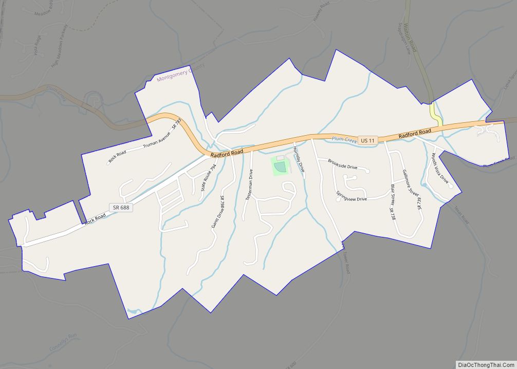
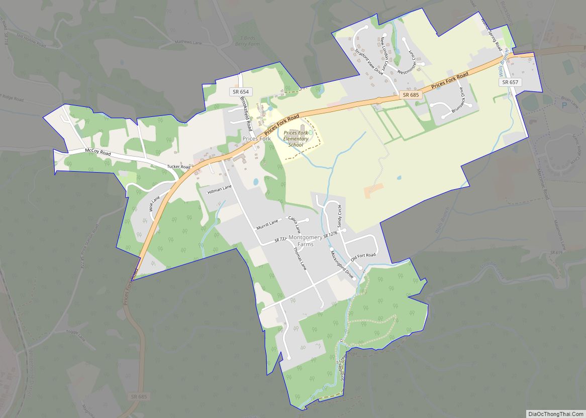
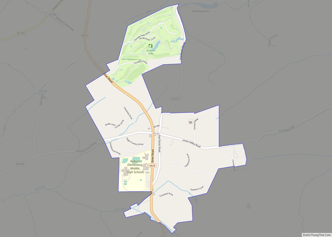
Online Interactive Map
Click on ![]() to view map in "full screen" mode.
to view map in "full screen" mode.
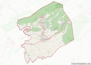
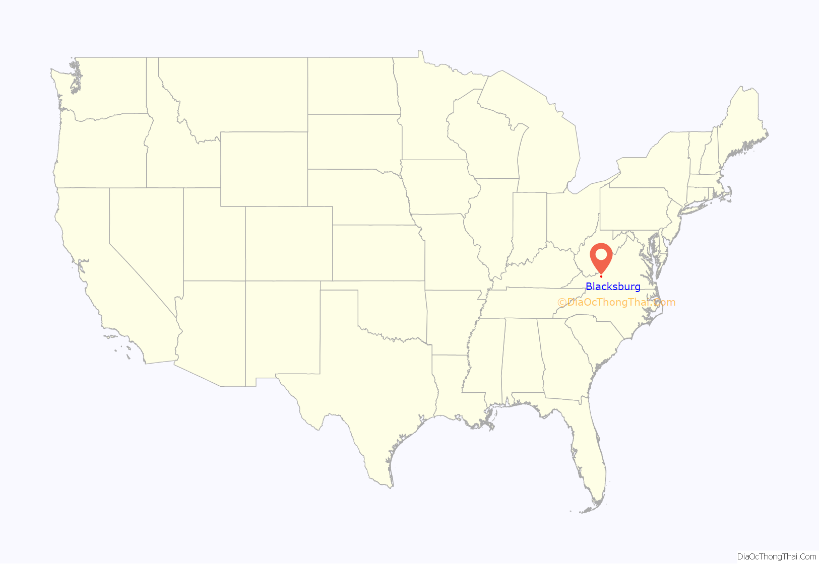
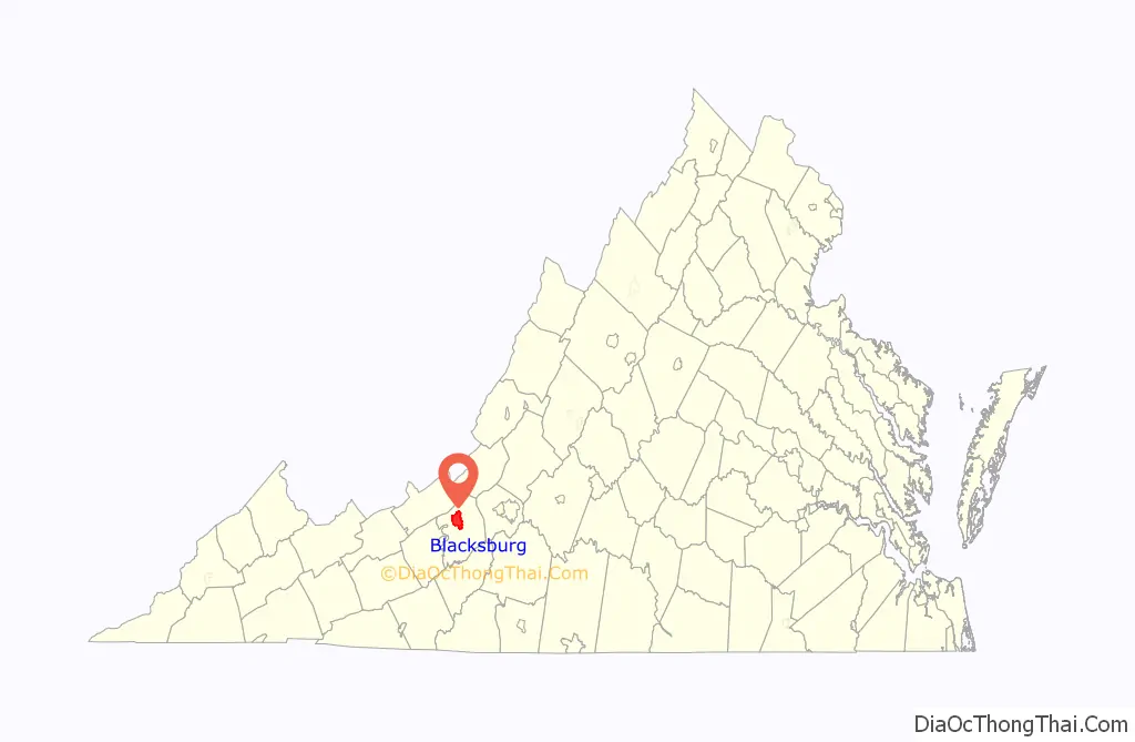
Blacksburg location map. Where is Blacksburg town?
History
European colonization, founding (1671–1771)
In the mid-1600s, English colonists were still uncertain of what lay beyond the Allegheny Mountains, whose topography and possession by native inhabitants, Tutelo-speaking tribes, were a barrier to expanded settlement by the Colony of Virginia. Abraham Wood, who commanded Fort Henry on the frontier (now the site of Petersburg, Virginia), and operated an Indian trading post nearby, organized several expeditions to explore farther west. A passage over the ridge was finally found in 1671 when explorers Batts and Fallam, sent by Wood, reached the present-day location of Blacksburg, Virginia. Their expedition followed Stroubles Creek, through the current locations of the town and campus of Virginia Tech, to what they named Wood’s River.
They reported the area as inhabited by the Monacan and Moneton, Siouan-speaking groups, but the Virginia colonial legislature had authorized Wood to claim it. Accordingly, on September 17, 1671, the Batts and Fallam party claimed all of the lands comprising the river’s drainage basin for King Charles II. However, the region was not yet open to English patent. In 1700, Seneca warriors of the Iroquois Confederacy based in New York and Pennsylvania, overran the entire area, driving out the other bands. As early as 1718, the Seneca had agreed to sell the parts they had conquered east of the Blue Ridge to the Virginia Colony. However, following another cession at the 1744 Treaty of Lancaster, there was a dispute between the tribe and colonists over whether the new boundary was the Alleghenies or the Ohio River. The site of Blacksburg lay just within this disputed zone.
By the 1740s, the Wood’s River Land Company, represented by Colonel James Patton, gained a large tract of land within present-day southwest Virginia. Part of the tract became Montgomery County and Pulaski County and was sold to Virginian, Irish, Scots-Irish, and English settlers as a reward for their services during the Spanish-Indian Wars and other wars. The Draper and Ingles families were among those who built their homes at Draper’s Meadow by 1748; this area was between the present location of the campus and the subdivision of Hethwood.
Because of its strategic location between powerful Indian nations, who alternately allied with the French or British as it suited them, plus its location through gaps into the Alleghenies further west, the area’s development was viewed with increasing apprehension by the French and their Indian allies. In July 1755, during the French and Indian War, hostile Shawnee Indians equipped and armed by France attacked the frontier outpost at Draper’s Meadow, which then had around twenty pioneer settlers. About four settlers were killed in the attacks, and five were taken captive to Kentucky by the Shawnee, among them Mary Draper Ingles, who later escaped. The memorial to Draper’s Meadow massacre was dedicated on a bridge located near Duck Pond. By the end of the war, Draper’s Meadow was deserted.
By the Treaty of Easton (1758), and again by the Royal Proclamation of 1763, the British Crown made the Allegheny ridge separating the Mississippi and Chesapeake watersheds the official boundary between their Virginia colony and native peoples. It remained so until 1768, when native claims to the land including Blacksburg were cleared by the Treaty of Hard Labour with the Cherokee, and the Treaty of Fort Stanwix with the Six Nations (Iroquois Confederacy). The Shawnee finally abandoned their claim to this territory in 1774 following Dunmore’s War.
The Black family (1772–1797)
Samuel Black, whose family settled in Staunton, Virginia, bought 600 acres (2.4 km) of land in the Draper’s Meadow area for his sons John and William in 1772. Smithfield Plantation, built in approximately 1774 by Colonel William Preston, was developed on the original Draper’s Meadow site, near the current location of the Duck Pond on the Virginia Tech campus.
When Samuel Black died in 1792, the land was evenly divided into two sections by his sons. The road now known as Draper Road is the dividing line between the sections. John Black’s property was later developed as the majority of the central campus of Virginia Tech.
In 1797, William Black laid out a small grid of streets and lots comprising 16 blocks on a portion of his land. The original town was limited to the area bounded by present-day Draper Road, Jackson Street, Wharton Street, and Clay Street. The town logo contains 16 small squares that create a larger square, representing the original 16 square blocks that were a part of Black’s design.
Blacksburg’s establishment (1798–1870)
After Black petitioned the state legislature to establish a town at the site, the official establishment and founding of Blacksburg was January 13, 1798, on the 38.75-acre (15.68 ha) tract that he laid out. The following August 4, he signed over the deed to the town trustees. The town was named after him in his honor.
In 1808, a log cabin was built just east of Smithfield Plantation. Robert Preston, a future colonel of the 28th Virginia Infantry, lived here, as did two Virginia governors. The cabin was later added to in the mid 19th century to create a Greek Revival farmhouse now known as Solitude, which is the oldest building on the Virginia Tech campus. In 1872, the 250 acre Solitude farm became the central campus of Virginia Agricultural and Mechanical College, and the house, after the death of its owner in the following decade, served as a college infirmary from 1882 to 1886. It was later used for faculty housing.
According to records of the Post Office Department of the National Archives and Records Administration, the post office was established as “BLACKSBURGH” on April 8, 1827. The name was changed to the current spelling (without the “h”) in 1893.
The Methodists had built two cabins to worship in since the town’s founding, but they did not build a more permanent structure until 1830, when they constructed a brick church. The Presbyterians were the next Christian denomination to build a church within Blacksburg’s limits. In 1848 they built their first brick building at 117 South Main Street. Though still standing, this building has not been used as a church for many years. It was once South Main Café, but is currently used as a restaurant called Cabo Fish Taco. It is also the oldest building on Main Street. The Baptists founded the third oldest church in the town in 1852.
In 1832, Westview Cemetery was established from a few acres of land that were deeded to trustees.
One of the first educational establishments started here was the Blacksburg Female Academy in 1840. The Olin and Preston Institute (re-charted as Preston and Olin Institute in 1869) was a Methodist-sponsored academy established in 1851.
The first bank in Montgomery County, Blacksburg Savings Institution, was established in 1849. The first newspaper published in Blacksburg was the Montgomery Messenger. Its first issue was printed in 1869.
Incorporation, modernization (1871–1951)
In 1871, the village that became known as Blacksburg was incorporated and Thomas W. Jones became the first mayor.
One year later, the Virginia Agricultural and Mechanical College opened on October 2, 1872, with a faculty of three members. The college grew and became known as Virginia Polytechnic Institute and State University, which shortly afterward became informally referred to as Virginia Tech. It is a Virginia land-grant university.
A fire-fighting unit was organized within the university in 1899. The town bought its first fire truck 43 years later. The Blacksburg First Aid and Life Saving Crew was founded in 1951 and renamed Blacksburg Volunteer Rescue Squad in another addition to the growing amount of emergency services.
The first automobile came through the town in 1901. Three years later the train entered Blacksburg from Christiansburg using the Virginia Anthracite & Coal Railroad, which later became known as the “Huckleberry.” Traffic in Blacksburg increased sufficiently enough that by January 1913 the town voted against allowing cows to continue to roam in town. The first filling station was opened in 1919 and at the time was the only one between Roanoke, Virginia, and Bluefield, West Virginia. The town’s first landing strip was built in 1929 and was 1,800 feet (548.64 m) in length. The grass landing strip was given airport status in 1931 and later became Virginia Tech Airport. Local buses began to make their rounds for the first time in 1947.
The town’s first theater was built in 1909. It was a precursor to the Lyric Theatre on College Avenue.
In the spring of 1935, Main Street was strung with ten street lights from Roanoke Street northward to the top of the hill, where it now intersects the Alumni Mall. By October the town’s second stoplight was installed on Main Street at Roanoke Street and was synchronized with the original one at Main and College. The establishment of official law enforcement began in 1937 when Officer Dave “Highpockets” Sumner became the first Blacksburg police officer. The first police car was purchased nine years later.
Compulsory education and commercialization (1952–1992)
Blacksburg experienced a boost of compulsory education during the second half of the 20th century. Even though there had been a place for secondary education somewhere in town since 1906, it was not until 1952 when the first facility for Blacksburg High School was built on South Main and Eheart Streets. Later it moved to new quarters and was adapted as Blacksburg Middle School. That same year, all high schools in Montgomery County began operating on a twelve-grade basis which is still county policy to this day.
The Margaret J. Beeks Elementary School and the Gilbert F. Linkous Elementary School were both completed in 1963 and Harding Avenue Elementary School was built in 1972. Two years later, in 1974, Blacksburg High School moved its location to Patrick Henry Drive after 20 years of issues with overcrowding in its previous location.
Jack Goodwin was appointed the first chief of police by the Blacksburg Town Council in 1954. Jan Olinger was made the first female police officer in 1976.
1958 marked the beginning of the end for the railroad that came to be known as the “Huckleberry.” In the 1960s, however, railroads underwent restructuring. Passenger service came to an end on July 25. On June 30, 1966, the last freight train arrived at the Blacksburg depot. Within 24 hours, the depot was closed, the empty cars were picked up, and the tracks were immediately removed. After years of effort by the citizens of the town a trail was constructed on the former railroad right-of-way and, after years of construction, funding and planning issues the Huckleberry Trail was opened to the public on December 1, 1998. 190 years after its original construction, the newly renovated Smithfield Plantation house was re-opened in 1964.
The amount of commercialization in the area began to increase in the mid-1960s. The Corning Glass Works (now called Corning Incorporated), based in upper New York State, opened a manufacturing facility in 1964 that is located south of Blacksburg. The Blacksburg Municipal Building on South Main Street was constructed in 1969. Terrace View apartments, the first large student complex, was built in 1970. The Blacksburg Branch of the Montgomery County Library was opened the same year. Ten years later, it was moved into the facility that used to house the Blacksburg Lumber Company on Draper Road. In 1971, Blacksburg ratified a new charter and LewisGale Hospital Montgomery was built. The University Mall shopping center opened that year as well. In the mid 1970s the Foxridge apartments, an even larger student apartment complex, was built as part of the Hethwood development. During 1981, the Blacksburg Community Center opened. It cost the town $1.2 million to build. By 1988, the New River Valley Mall, located in the neighboring town of Christiansburg, was opened and the Virginia Tech Corporate Research Center had its first ground-breaking ceremony.
After construction of Virginia’s portion of Interstate 81 began in 1957, nine years passed before the Christiansburg-area segment was opened. About half that amount of time passed before the U.S. Route 460 bypass opened in 1969.
In the 1970s, Virginia Tech was annexed into the town and the town acquired other land. Together with the effect of the annexations, the population grew from 9,000 people to 30,000 during this decade. Replacing the old public bus system, Blacksburg Transit began running in 1983.
Information age (1993–present)
Blacksburg is the site of the Blacksburg Electronic Village or BEV, conceived as a computer networking project of Virginia Tech in 1991 and officially born in 1993 as a way to link the town together using the Internet. This project quickly ushered the town into what is being called the Information Age.
In 1994, Montgomery County Public Schools completed construction of Kipps Elementary School at 2801 Prices Fork Road. By this time, Blacksburg had five elementary schools, a middle school, and a high school. A newly renovated Blacksburg branch library was opened in 1996.
In the aftermath of railroad restructuring, many rail lines were abandoned. After 24 years of abandonment and six years of planning and construction, the first phase of the Huckleberry Trail built on the old Huckleberry railbed opened in 1996. The second phase of construction was completed in 1998. In 2019, the Blacksburg Rotary Mountain Bike Skills Park opened with funding from Blacksburg Parks and Recreation and donations.
On July 8, 1997, ground was broken for the experimental “Smart Road” project. The second phase of construction was completed in 2002. The road is currently closed to the public and used as a research test bed for the Virginia Tech Transportation Institute. A National Weather Service office is located in Blacksburg and serves most of southwestern Virginia, southeast West Virginia, and northwest North Carolina.
In 2003, the new building for Blacksburg Middle School students opened on Prices Fork Road adjacent to the property housing Kipps Elementary School.
On April 16, 2007, Seung-Hui Cho shot 32 people dead and injured an additional 17 in the Virginia Tech shooting before committing suicide. The massacre is the deadliest mass shooting on a college campus since the University of Texas tower shooting in 1966.
On January 21, 2009, Zhu Haiyang decapitated Yang Xin at Virginia Tech in the first campus murder since the Virginia Tech shooting.
On February 13, 2010, following a snowstorm that dropped two feet of snow on the area, the gymnasium roof on the previously occupied Blacksburg High School suffered a catastrophic structural failure and collapsed, causing structural damage to other areas of the school. The school building was condemned and students attended night school on a split schedule with the Blacksburg Middle School students at their school for the remainder of the year. It was determined that repair costs would exceed $18 million and would not be feasible given the age of the school; it was decided not to repair the building. Before the school year of 2013-14 Blacksburg High School was operating on a normal schedule out of the Blacksburg Middle School building on 3109 Prices Fork Road, and the middle schoolers were going to school in the old Christiansburg Middle School. The original Blacksburg High School building was vacant until it was demolished in the Summer of 2011. The newly constructed school building of Blacksburg High School which opened for the 2013 fall semester is located at 3401 Bruin Lane, behind the current Blacksburg Middle School and Bill Brown Football Stadium.
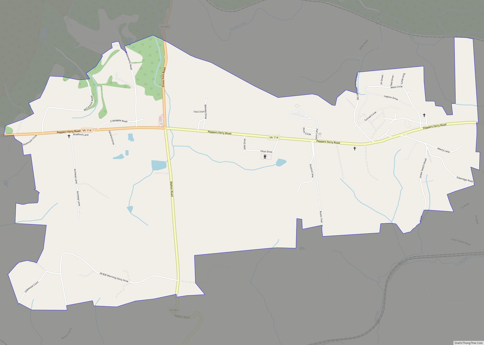
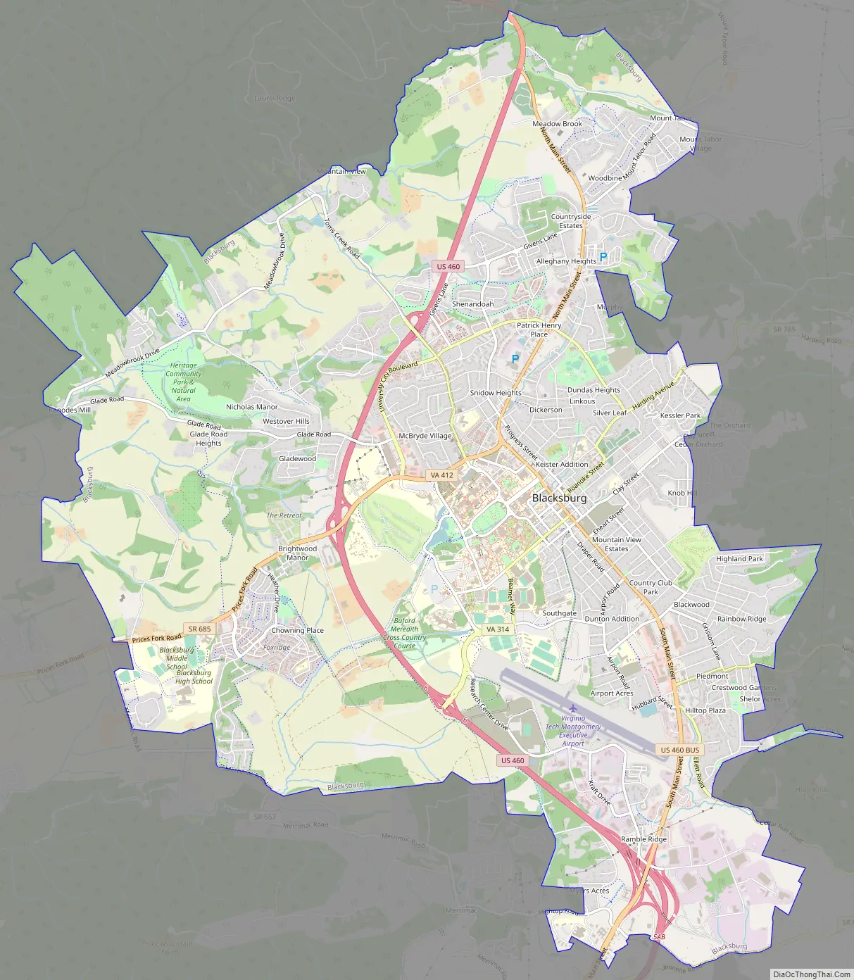
Blacksburg Road Map
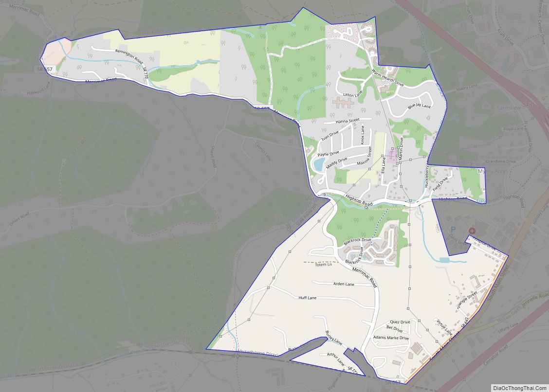
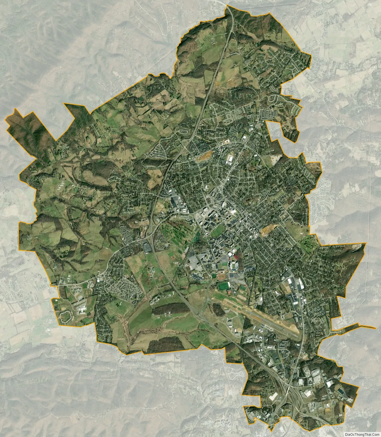
Blacksburg city Satellite Map
Geography
According to the United States Census Bureau, the town has a total area of 19.89 square miles (51.5 km) of which 19.89 square miles (51.5 km) is land and 0.04 square miles (0.10 km), or 0.10%, is water. At 2,080 feet (634 m) above sea level, Blacksburg is located in the New River Valley and also sits astride the Eastern Continental Divide. It is the 15th largest municipality and the largest town in the commonwealth of Virginia. The Eastern Continental Divide traverses the Virginia Tech Montgomery Executive Airport.
The tallest building in Blacksburg is Slusher Tower, a twelve-story residence hall on the Virginia Tech campus. The building with the highest elevation is actually Hoge Hall (formerly Lee Hall), another residence hall, which until May 17, 2009, was home to the transmitter of campus radio station WUVT. The tower for WUVT now sits atop Price Mountain.
Climate
Due to its elevation, the climate of Blacksburg is a hot-summer humid continental climate (Köppen climate classification: Dfa), being cooled down from the lowland areas, all of which possess a humid subtropical climate (Köppen climate classification: Cfa). Summers are humid with warm to hot temperatures, although the area sees significantly cooler temperatures than places of lower elevation at the same latitude, with only 5 days of 90 °F (32 °C)+ highs annually. Winters are generally cool to cold, with occasional intervening warm periods and an average of 0.9 nights of sub-0 °F (−18 °C) lows. Monthly mean temperatures range from 31.9 °F (−0.1 °C) in January to 71.7 °F (22.1 °C) in July. Snowfall averages 24.7 inches (63 cm) per season and generally occurs from December to March, although significant snowfall has been recorded outside of those months.
See also
Map of Virginia State and its subdivision:- Accomack
- Albemarle
- Alexandria
- Alleghany
- Amelia
- Amherst
- Appomattox
- Arlington
- Augusta
- Bath
- Bedford
- Bedford City
- Bland
- Botetourt
- Bristol
- Brunswick
- Buchanan
- Buckingham
- Buena Vista
- Campbell
- Caroline
- Carroll
- Charles City
- Charlotte
- Charlottesville
- Chesapeake
- Chesterfield
- Clarke
- Clifton Forge City
- Colonial Heights
- Covington
- Craig
- Culpeper
- Cumberland
- Danville
- Dickenson
- Dinwiddie
- Emporia
- Essex
- Fairfax
- Fairfax City
- Falls Church
- Fauquier
- Floyd
- Fluvanna
- Franklin
- Frederick
- Fredericksburg
- Galax
- Giles
- Gloucester
- Goochland
- Grayson
- Greene
- Greensville
- Halifax
- Hampton
- Hanover
- Harrisonburg
- Henrico
- Henry
- Highland
- Hopewell
- Isle of Wight
- James City
- King and Queen
- King George
- King William
- Lancaster
- Lee
- Lexington
- Loudoun
- Louisa
- Lunenburg
- Lynchburg
- Madison
- Manassas
- Manassas Park
- Martinsville
- Mathews
- Mecklenburg
- Middlesex
- Montgomery
- Nelson
- New Kent
- Newport News
- Norfolk
- Northampton
- Northumberland
- Norton
- Nottoway
- Orange
- Page
- Patrick
- Petersburg
- Pittsylvania
- Poquoson
- Portsmouth
- Powhatan
- Prince Edward
- Prince George
- Prince William
- Pulaski
- Radford
- Rappahannock
- Richmond
- Roanoke
- Roanoke City
- Rockbridge
- Rockingham
- Russell
- Salem
- Scott
- Shenandoah
- Smyth
- Southampton
- Spotsylvania
- Stafford
- Staunton
- Suffolk
- Surry
- Sussex
- Tazewell
- Virginia Beach
- Warren
- Washington
- Waynesboro
- Westmoreland
- Williamsburg
- Winchester
- Wise
- Wythe
- York
- Alabama
- Alaska
- Arizona
- Arkansas
- California
- Colorado
- Connecticut
- Delaware
- District of Columbia
- Florida
- Georgia
- Hawaii
- Idaho
- Illinois
- Indiana
- Iowa
- Kansas
- Kentucky
- Louisiana
- Maine
- Maryland
- Massachusetts
- Michigan
- Minnesota
- Mississippi
- Missouri
- Montana
- Nebraska
- Nevada
- New Hampshire
- New Jersey
- New Mexico
- New York
- North Carolina
- North Dakota
- Ohio
- Oklahoma
- Oregon
- Pennsylvania
- Rhode Island
- South Carolina
- South Dakota
- Tennessee
- Texas
- Utah
- Vermont
- Virginia
- Washington
- West Virginia
- Wisconsin
- Wyoming