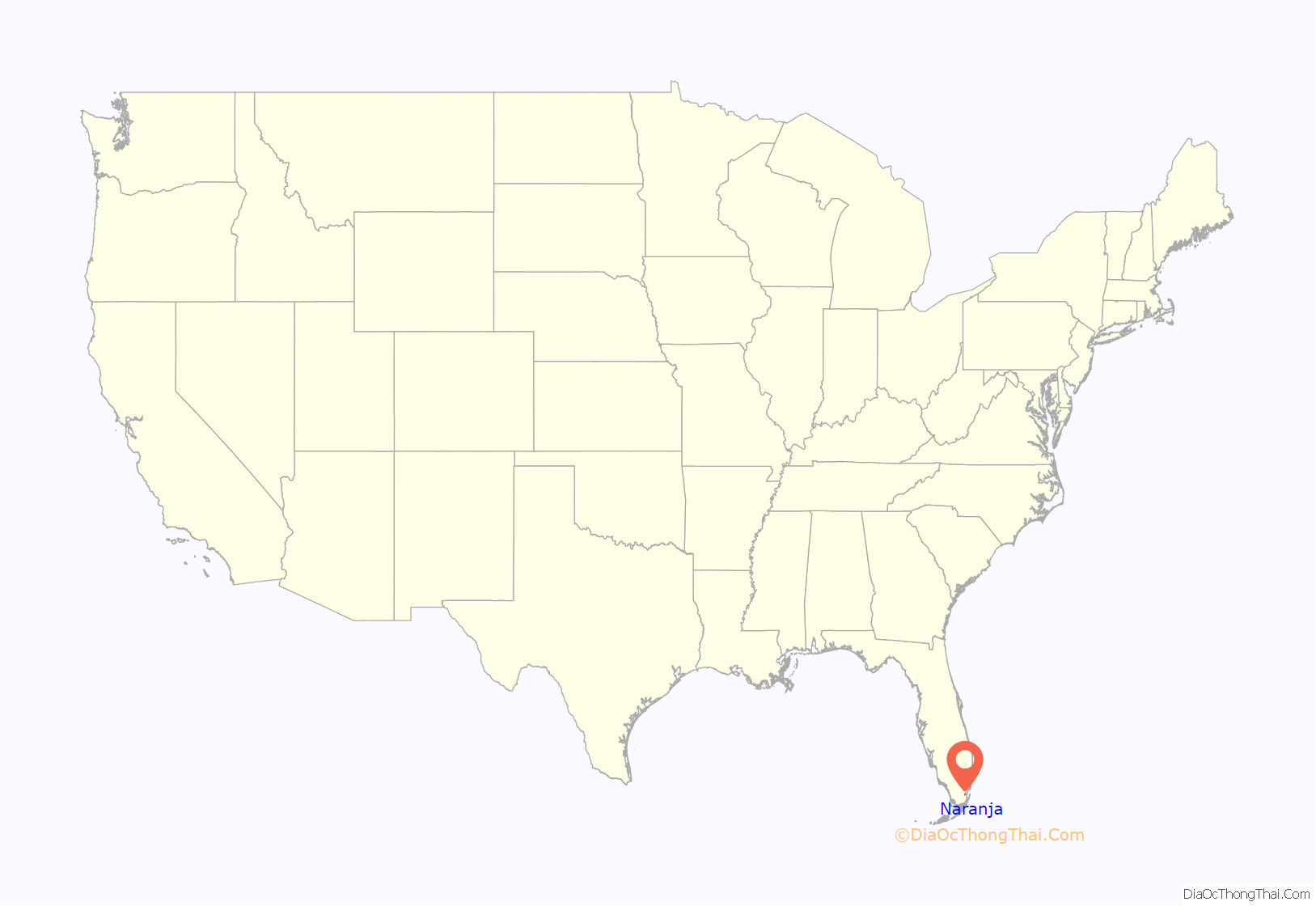
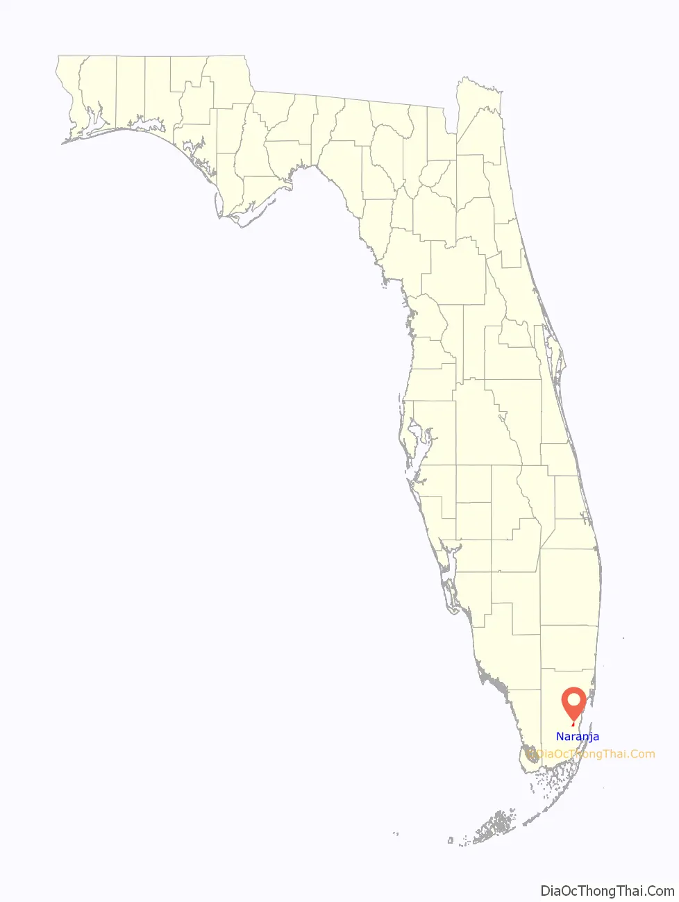
Naranja is an unincorporated community and census-designated place (CDP) in Miami-Dade County, Florida, United States. Many orange groves were once located in this area, so the community name came from the Spanish word for orange, naranja, though the pronunciation among the local residents is “Na-Ran-Jah”. Naranja was also a stop for the Florida East Coast Railroad that once ran through this area. The population was 13,509 at the 2020 census, up from 8,303 in 2010.
| Name: | Naranja CDP |
|---|---|
| LSAD Code: | 57 |
| LSAD Description: | CDP (suffix) |
| State: | Florida |
| County: | Miami-Dade County |
| Elevation: | 7 ft (2 m) |
| Total Area: | 1.68 sq mi (4.36 km²) |
| Land Area: | 1.50 sq mi (3.88 km²) |
| Water Area: | 0.18 sq mi (0.48 km²) |
| Total Population: | 13,509 |
| Population Density: | 9,012.01/sq mi (3,480.67/km²) |
| ZIP code: | 33032, 33092 |
| Area code: | 305 |
| FIPS code: | 1247700 |
| GNISfeature ID: | 0287532 |
Online Interactive Map
Click on ![]() to view map in "full screen" mode.
to view map in "full screen" mode.
Naranja location map. Where is Naranja CDP?
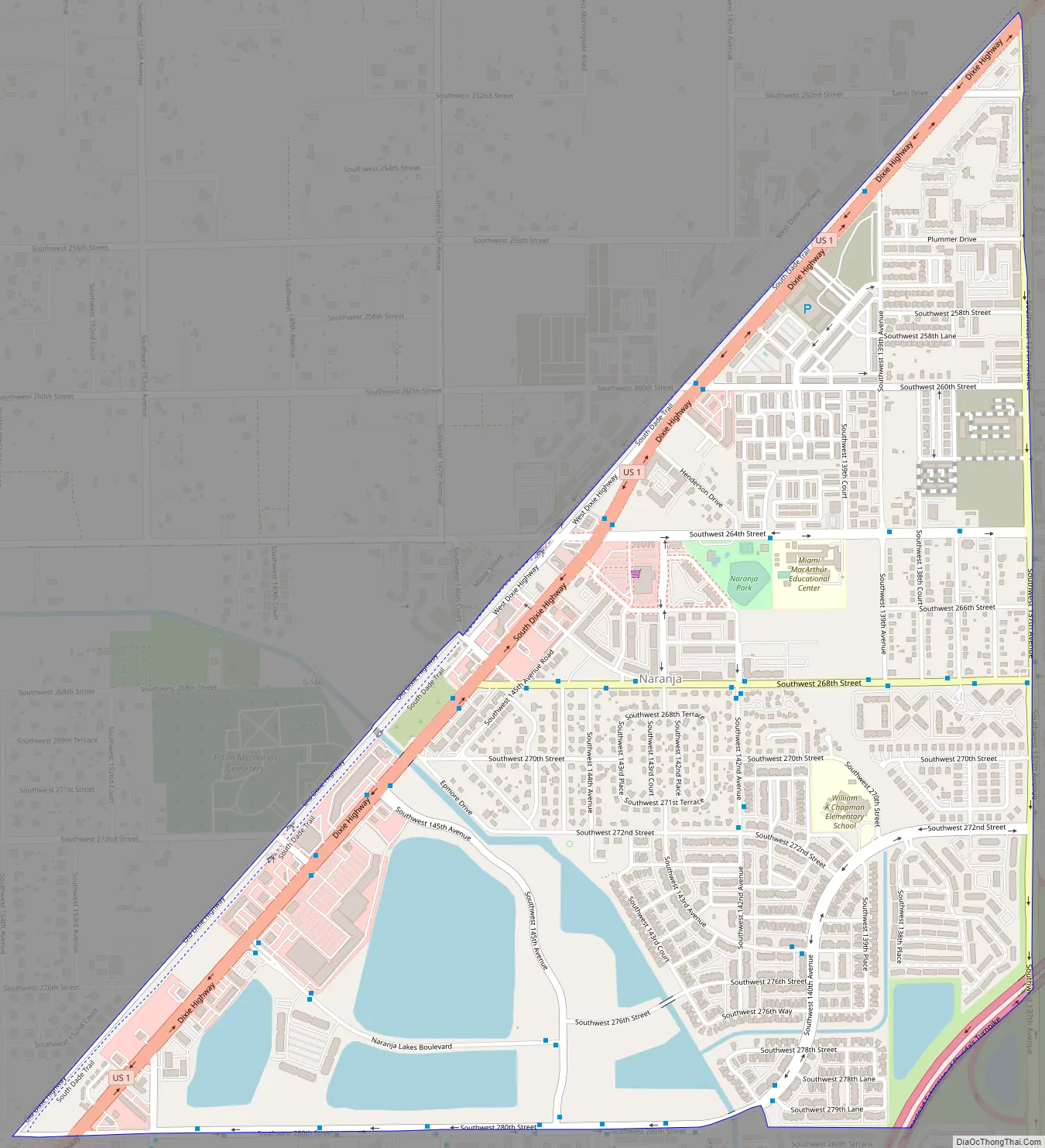
Naranja Road Map
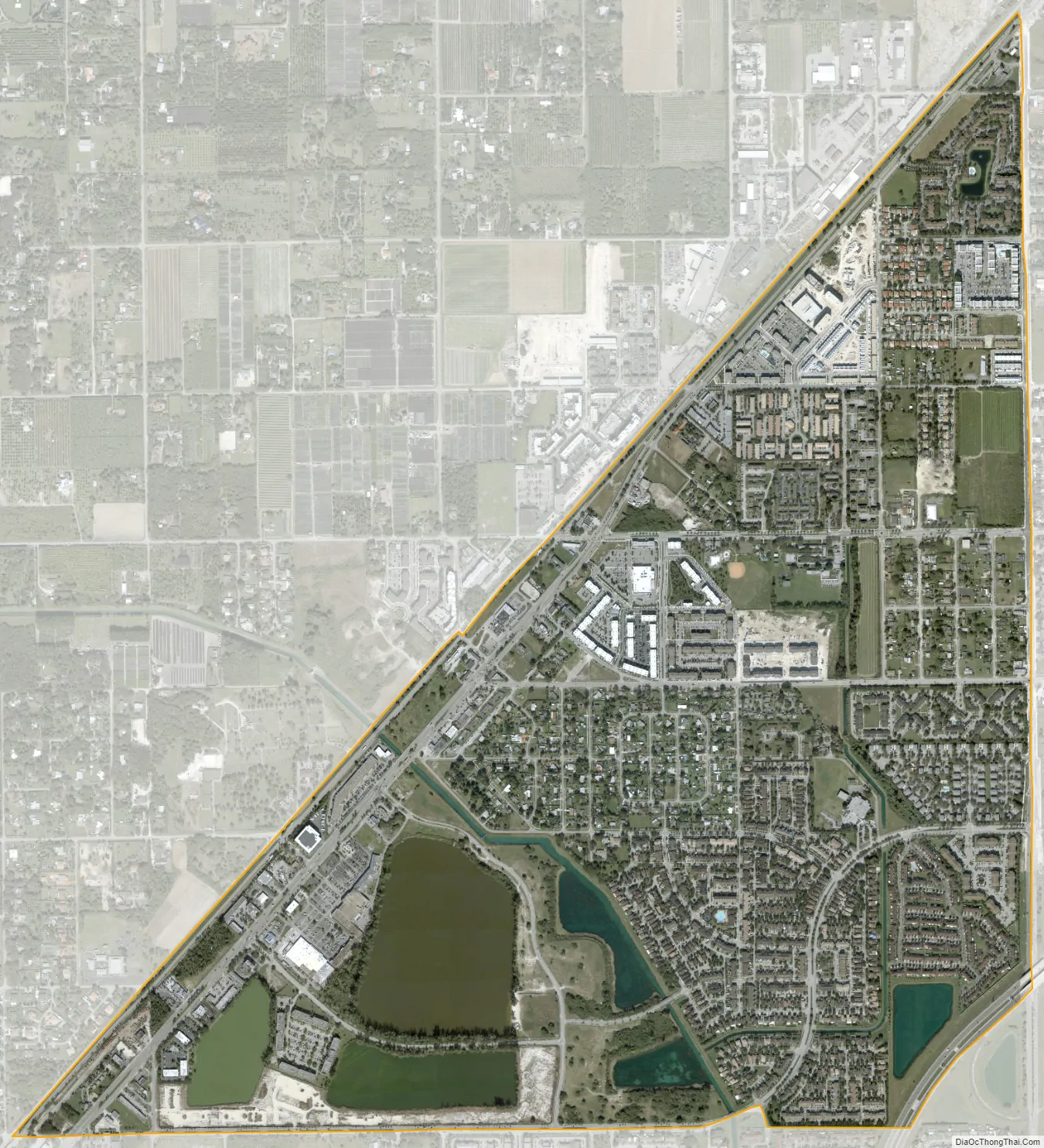
Naranja city Satellite Map
Geography
Naranja is located 25 miles (40 km) southwest of downtown Miami at 25°31′N 80°25′W / 25.517°N 80.417°W / 25.517; -80.417 (25.5174, -80.4217). It is bordered to the north and east by Princeton and to the south by Leisure City, and the city of Homestead is 5 miles (8 km) to the southwest.
U.S. Route 1 (Dixie Highway) runs along the northwest edge of the community. The Homestead Extension of Florida’s Turnpike touches the southeast corner of the community, with partial access from Exit 6 (Tallahassee Road) and full access from Exit 5 (Biscayne Drive) in Leisure City.
According to the United States Census Bureau, the Naranja CDP has a total area of 1.7 square miles (4.4 km), of which 1.5 square miles (3.9 km) are land and 0.2 square miles (0.5 km), or 10.99%, are water.
See also
Map of Florida State and its subdivision:- Alachua
- Baker
- Bay
- Bradford
- Brevard
- Broward
- Calhoun
- Charlotte
- Citrus
- Clay
- Collier
- Columbia
- Desoto
- Dixie
- Duval
- Escambia
- Flagler
- Franklin
- Gadsden
- Gilchrist
- Glades
- Gulf
- Hamilton
- Hardee
- Hendry
- Hernando
- Highlands
- Hillsborough
- Holmes
- Indian River
- Jackson
- Jefferson
- Lafayette
- Lake
- Lee
- Leon
- Levy
- Liberty
- Madison
- Manatee
- Marion
- Martin
- Miami-Dade
- Monroe
- Nassau
- Okaloosa
- Okeechobee
- Orange
- Osceola
- Palm Beach
- Pasco
- Pinellas
- Polk
- Putnam
- Saint Johns
- Saint Lucie
- Santa Rosa
- Sarasota
- Seminole
- Sumter
- Suwannee
- Taylor
- Union
- Volusia
- Wakulla
- Walton
- Washington
- Alabama
- Alaska
- Arizona
- Arkansas
- California
- Colorado
- Connecticut
- Delaware
- District of Columbia
- Florida
- Georgia
- Hawaii
- Idaho
- Illinois
- Indiana
- Iowa
- Kansas
- Kentucky
- Louisiana
- Maine
- Maryland
- Massachusetts
- Michigan
- Minnesota
- Mississippi
- Missouri
- Montana
- Nebraska
- Nevada
- New Hampshire
- New Jersey
- New Mexico
- New York
- North Carolina
- North Dakota
- Ohio
- Oklahoma
- Oregon
- Pennsylvania
- Rhode Island
- South Carolina
- South Dakota
- Tennessee
- Texas
- Utah
- Vermont
- Virginia
- Washington
- West Virginia
- Wisconsin
- Wyoming


