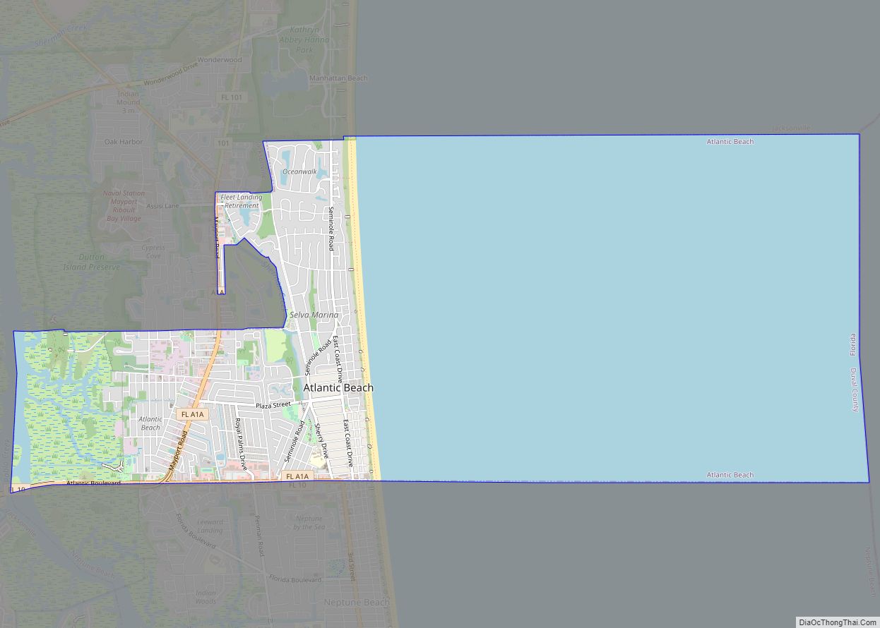
Neptune Beach is a beachfront city east of Jacksonville in Duval County, Florida, United States. When the majority of Duval County communities consolidated with Jacksonville in 1968, Neptune Beach, along with Jacksonville Beach, Atlantic Beach and Baldwin remained quasi-independent. Like those other towns, it maintains its own municipal government but its residents vote in the Jacksonville mayoral election and are represented on the Jacksonville city council. With a 2020 census population of 7,217, Neptune Beach is the smallest of the Jacksonville Beaches communities.
| Name: | Neptune Beach city |
|---|---|
| LSAD Code: | 25 |
| LSAD Description: | city (suffix) |
| State: | Florida |
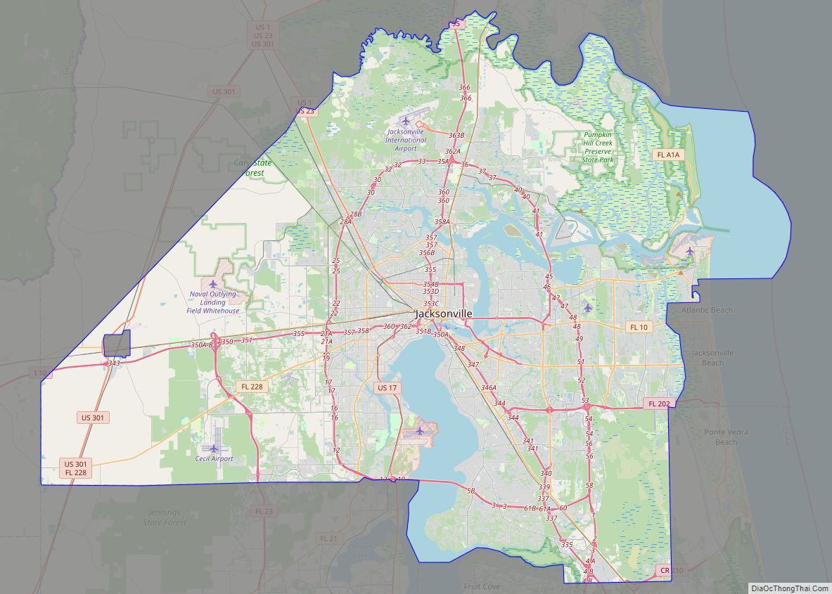
| County: | Duval County |
| Elevation: | 10 ft (3 m) |
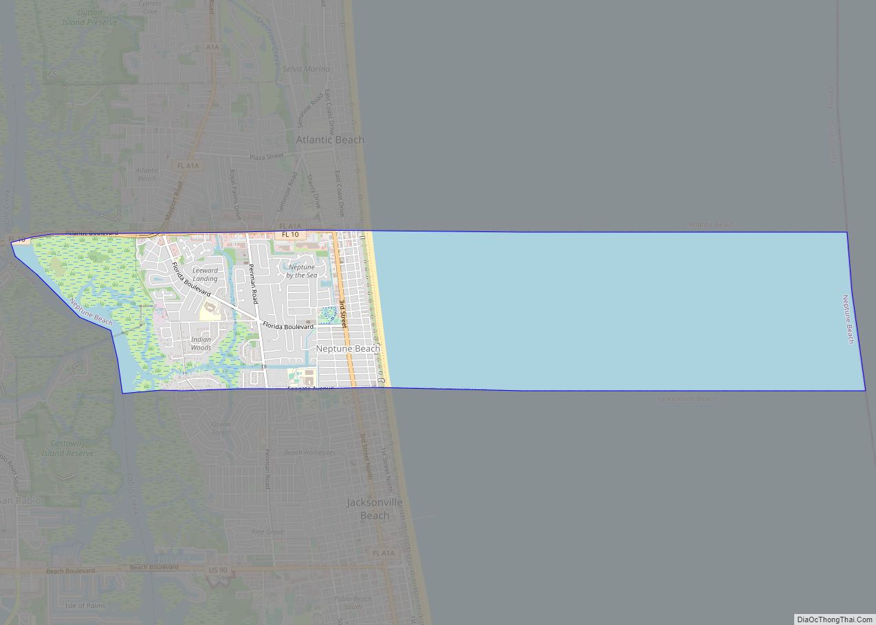
| Total Area: | 6.85 sq mi (17.74 km²) |
| Land Area: | 2.34 sq mi (6.05 km²) |
| Water Area: | 4.51 sq mi (11.69 km²) |
| Total Population: | 7,217 |
| Population Density: | 3,088.15/sq mi (1,192.29/km²) |
| ZIP code: | 32266 |
| Area code: | 904 |
| FIPS code: | 1248100 |
| GNISfeature ID: | 0287587 |
Online Interactive Map
Click on ![]() to view map in "full screen" mode.
to view map in "full screen" mode.
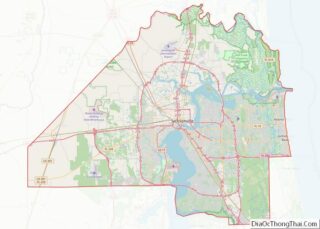
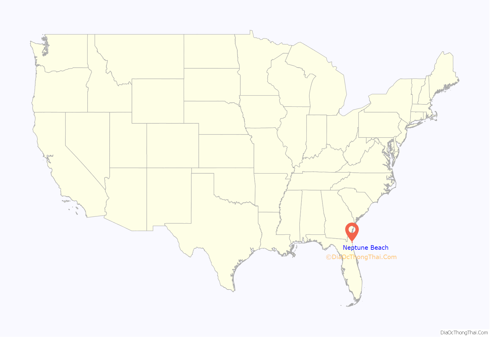
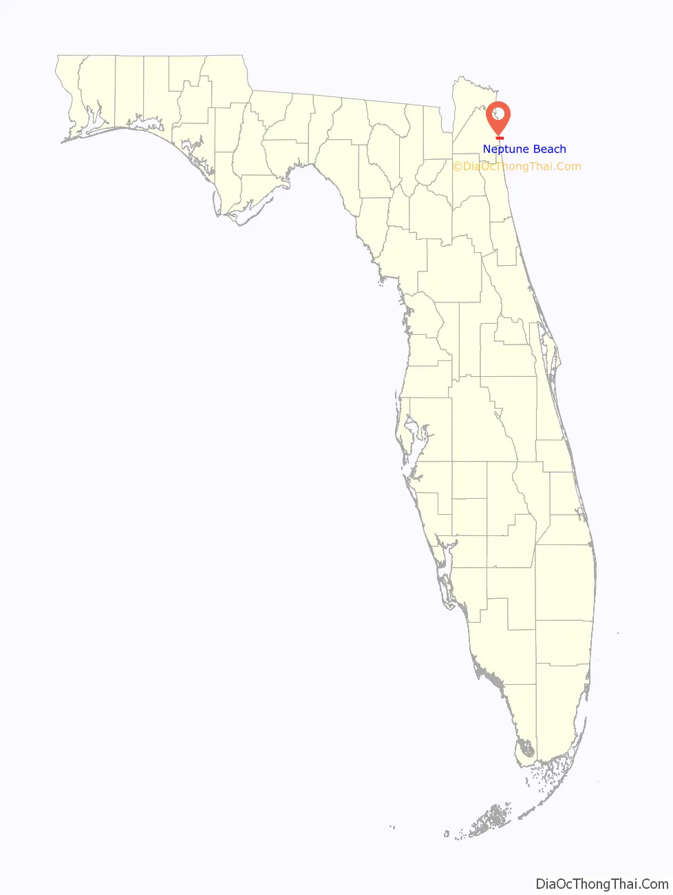
Neptune Beach location map. Where is Neptune Beach city?
History
Neptune Beach was originally part of Jacksonville Beach. Through its development, the part of Jacksonville Beach north of 20th Avenue North was sparsely populated, with a brick road (First Street) connecting the more populated southern area with Atlantic Beach. The name “Neptune Beach” originated in 1922 with Dan G. Wheeler, one of the few residents. Wheeler had a home at what is now One Ocean Hotel (now in Atlantic Beach), and had to walk all the way home from Mayport each evening after taking the Florida East Coast Railway train home from work in Jacksonville. A friend who worked for the railroad informed Wheeler that if he had a station, the train would have to stop for him, so Wheeler built his own train station near his home and named it Neptune.
Neptune seceded from Jacksonville Beach and incorporated as its own municipality in 1931, following a tax revolt. The comparatively few residents of the area were largely cut off from Jacksonville Beach city services such as police, fire, garbage collection, and road developments, though they paid taxes in equal share. The first mayor was O. O. McCollum, and the government met in Wheeler’s old train station until a new town hall was completed in 1935.
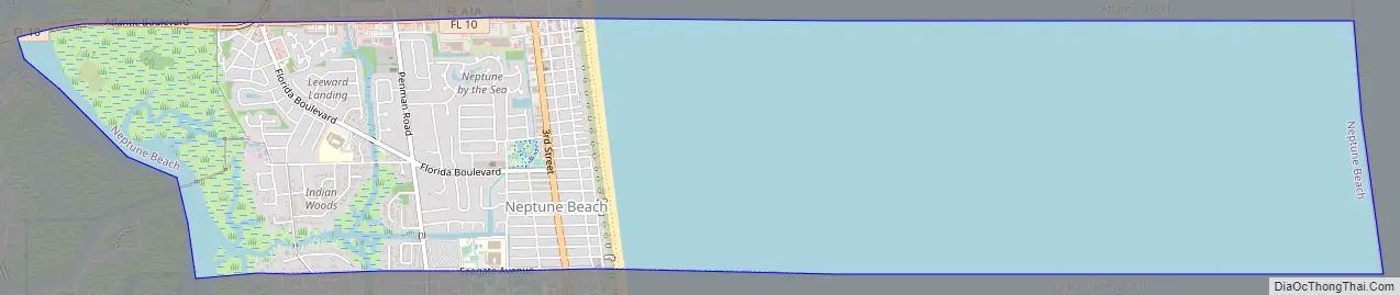
Neptune Beach Road Map
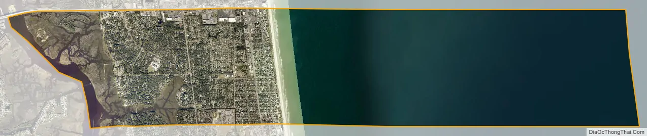
Neptune Beach city Satellite Map
Geography
Neptune Beach is located at 30°19′00″N 81°24′11″W / 30.316641°N 81.403081°W / 30.316641; -81.403081Coordinates: 30°19′00″N 81°24′11″W / 30.316641°N 81.403081°W / 30.316641; -81.403081 (30.316641, –81.403081).
Neptune Beach is one of several towns on San Pablo Island, which stretches through two counties (Duval and St. Johns) and extends from Naval Station Mayport at its northern tip to Vilano Beach in the south, across from St. Augustine.
According to the United States Census Bureau, Neptune Beach has a total area of 6.8 square miles (17.7 km), of which 2.3 square miles (6.0 km) is land and 4.5 square miles (11.7 km) (65.96%) is water.
See also
Map of Florida State and its subdivision:- Alachua
- Baker
- Bay
- Bradford
- Brevard
- Broward
- Calhoun
- Charlotte
- Citrus
- Clay
- Collier
- Columbia
- Desoto
- Dixie
- Duval
- Escambia
- Flagler
- Franklin
- Gadsden
- Gilchrist
- Glades
- Gulf
- Hamilton
- Hardee
- Hendry
- Hernando
- Highlands
- Hillsborough
- Holmes
- Indian River
- Jackson
- Jefferson
- Lafayette
- Lake
- Lee
- Leon
- Levy
- Liberty
- Madison
- Manatee
- Marion
- Martin
- Miami-Dade
- Monroe
- Nassau
- Okaloosa
- Okeechobee
- Orange
- Osceola
- Palm Beach
- Pasco
- Pinellas
- Polk
- Putnam
- Saint Johns
- Saint Lucie
- Santa Rosa
- Sarasota
- Seminole
- Sumter
- Suwannee
- Taylor
- Union
- Volusia
- Wakulla
- Walton
- Washington
- Alabama
- Alaska
- Arizona
- Arkansas
- California
- Colorado
- Connecticut
- Delaware
- District of Columbia
- Florida
- Georgia
- Hawaii
- Idaho
- Illinois
- Indiana
- Iowa
- Kansas
- Kentucky
- Louisiana
- Maine
- Maryland
- Massachusetts
- Michigan
- Minnesota
- Mississippi
- Missouri
- Montana
- Nebraska
- Nevada
- New Hampshire
- New Jersey
- New Mexico
- New York
- North Carolina
- North Dakota
- Ohio
- Oklahoma
- Oregon
- Pennsylvania
- Rhode Island
- South Carolina
- South Dakota
- Tennessee
- Texas
- Utah
- Vermont
- Virginia
- Washington
- West Virginia
- Wisconsin
- Wyoming