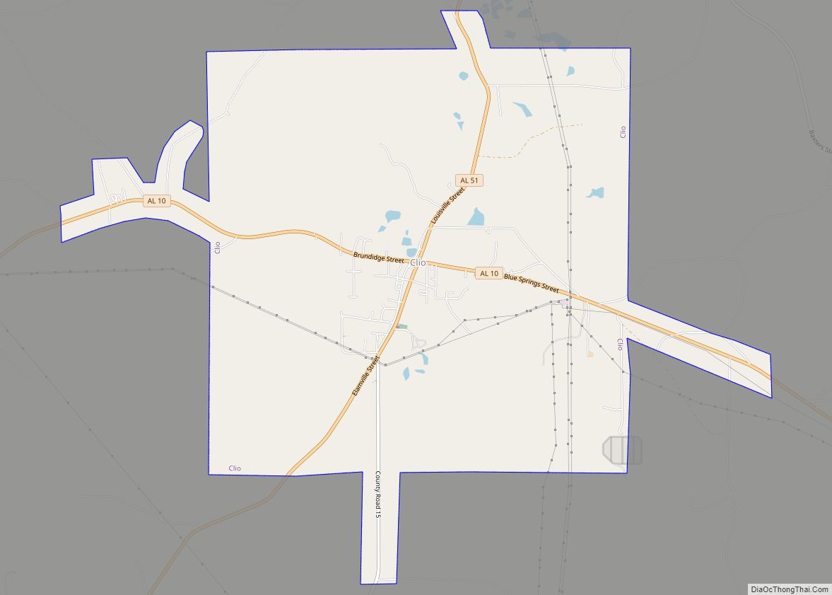
Map of Cleveland city

Map of Cleveland town, Alabama

Cleveland is a town in Blount County, Alabama, United States. At the 2020 census, the population was 1,245. Cleveland town overview: Name: Cleveland town LSAD Code: 43 LSAD Description: town (suffix) State: Alabama County: Blount County Elevation: 525 ft (160 m) Total Area: 7.88 sq mi (20.42 km²) Land Area: 7.85 sq mi (20.33 km²) Water Area: 0.03 sq mi (0.09 km²) Total Population: 1,245 Population … Read more

Map of Clayton town

Map of Clayton town, Alabama

Clayton is a town in and the county seat of Barbour County, Alabama, United States. The population was 3,008 at the 2010 census, up from 1,475 in 2000. Clayton town overview: Name: Clayton town LSAD Code: 43 LSAD Description: town (suffix) State: Alabama County: Barbour County Elevation: 591 ft (180 m) Total Area: 6.78 sq mi (17.55 km²) Land Area: … Read more

Map of Coffee Springs town

Map of Coffee Springs town

Coffee Springs is a town in Geneva County, Alabama, United States. It was incorporated in 1900, and it is considered to be a part of the Dothan, Alabama Metropolitan Statistical Area. At the 2010 census the population was 228, down from 251. Coffee Springs town overview: Name: Coffee Springs town LSAD Code: 43 LSAD Description: … Read more

Map of Coats Bend CDP

Map of Coats Bend CDP

Coats Bend is a census-designated place in Etowah County, Alabama, United States. Its population was 1,394 as of the 2010 census. A post office was established in 1878 and was in operation until 1903. Coats Bend CDP overview: Name: Coats Bend CDP LSAD Code: 57 LSAD Description: CDP (suffix) State: Alabama County: Etowah County Elevation: … Read more

Map of Coaling town

Map of Coaling town

Coaling is a town in Tuscaloosa County, Alabama, United States. It incorporated in September 1997. At the 2020 census, the population was 2,035. It is part of the Tuscaloosa, Alabama Metropolitan Statistical Area. Coaling town overview: Name: Coaling town LSAD Code: 43 LSAD Description: town (suffix) State: Alabama County: Tuscaloosa County Elevation: 407 ft (124 m) Total … Read more

Map of Coker town

Map of Coker town

Coker is a town in Tuscaloosa County, Alabama, United States. It incorporated in 1999. At the 2020 census, the population was 904. It is part of the Tuscaloosa, Alabama Metropolitan Statistical Area. Coker town overview: Name: Coker town LSAD Code: 43 LSAD Description: town (suffix) State: Alabama County: Tuscaloosa County Elevation: 207 ft (63 m) Total Area: … Read more

Map of Coffeeville town

Map of Coffeeville town, Alabama

Coffeeville is a town in Clarke County, Alabama, United States. At the 2020 census, the population was 263. Coffeeville town overview: Name: Coffeeville town LSAD Code: 43 LSAD Description: town (suffix) State: Alabama County: Clarke County Elevation: 174 ft (53 m) Total Area: 4.52 sq mi (11.71 km²) Land Area: 4.52 sq mi (11.71 km²) Water Area: 0.00 sq mi (0.00 km²) Total Population: 263 Population … Read more

Map of Collinsville town

Map of Collinsville town, Alabama

Collinsville is a town in DeKalb and Cherokee counties in the U.S. state of Alabama. It was incorporated in 1887. As of the 2010 census, the population was 1,983. Collinsville’s largest employer is Koch Foods. It is a poultry plant that employees approximately 800 employees. Collinsville town overview: Name: Collinsville town LSAD Code: 43 LSAD … Read more

Map of Columbiana city

Map of Columbiana city, Alabama

Columbiana is a city and the county seat of Shelby County, Alabama, United States. At the 2020 census, the population was 4,462. Columbiana city overview: Name: Columbiana city LSAD Code: 25 LSAD Description: city (suffix) State: Alabama County: Shelby County Elevation: 574 ft (175 m) Total Area: 17.40 sq mi (45.07 km²) Land Area: 17.30 sq mi (44.81 km²) Water Area: 0.10 sq mi (0.26 km²) … Read more

Map of Columbia city

Map of Columbia town, Alabama

Columbia is a town in Houston County, Alabama, United States. It is part of the Dothan, Alabama Metropolitan Statistical Area. At the 2010 census the population was 740, down from 804 in 2000. Columbia town overview: Name: Columbia town LSAD Code: 43 LSAD Description: town (suffix) State: Alabama County: Houston County Elevation: 223 ft (68 m) Total … Read more

Map of Colony town

Map of Colony town, Alabama

Colony is a town in Cullman County, Alabama, United States. At the 2010 census the population was 268, down from 385 in 2000. Colony is a historically African-American town. In its early days it was a haven for African Americans in the Deep South. It incorporated in 1981. Colony town overview: Name: Colony town LSAD … Read more

Map of Cordova city, Alabama

Map of Cordova city, Alabama

Cordova is a city in Walker County, Alabama, United States. It was formerly a textile mill town. It was incorporated in 1897. At the 2010 census the population was 2,095, down from 2,423 in 2000. Cordova city overview: Name: Cordova city LSAD Code: 25 LSAD Description: city (suffix) State: Alabama County: Walker County Elevation: 302 ft … Read more