Cleveland is a town in Blount County, Alabama, United States. At the 2020 census, the population was 1,245.
| Name: | Cleveland town |
|---|---|
| LSAD Code: | 43 |
| LSAD Description: | town (suffix) |
| State: | Alabama |
| County: | Blount County |
| Elevation: | 525 ft (160 m) |
| Total Area: | 7.88 sq mi (20.42 km²) |
| Land Area: | 7.85 sq mi (20.33 km²) |
| Water Area: | 0.03 sq mi (0.09 km²) |
| Total Population: | 1,245 |
| Population Density: | 158.60/sq mi (61.23/km²) |
| ZIP code: | 35049 |
| Area code: | 205, 659 |
| FIPS code: | 0115472 |
| GNISfeature ID: | 0157920 |
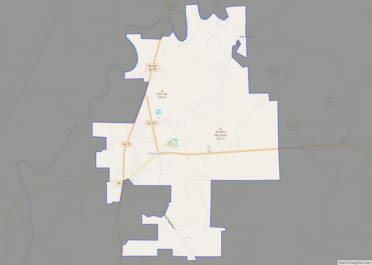
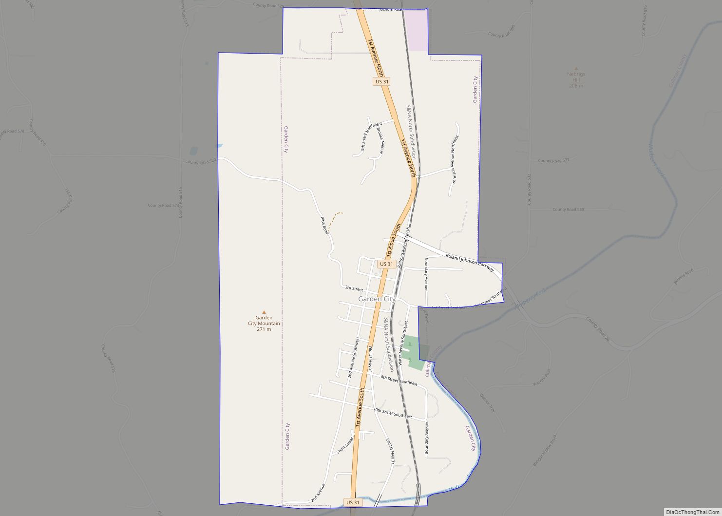
Online Interactive Map
Click on ![]() to view map in "full screen" mode.
to view map in "full screen" mode.
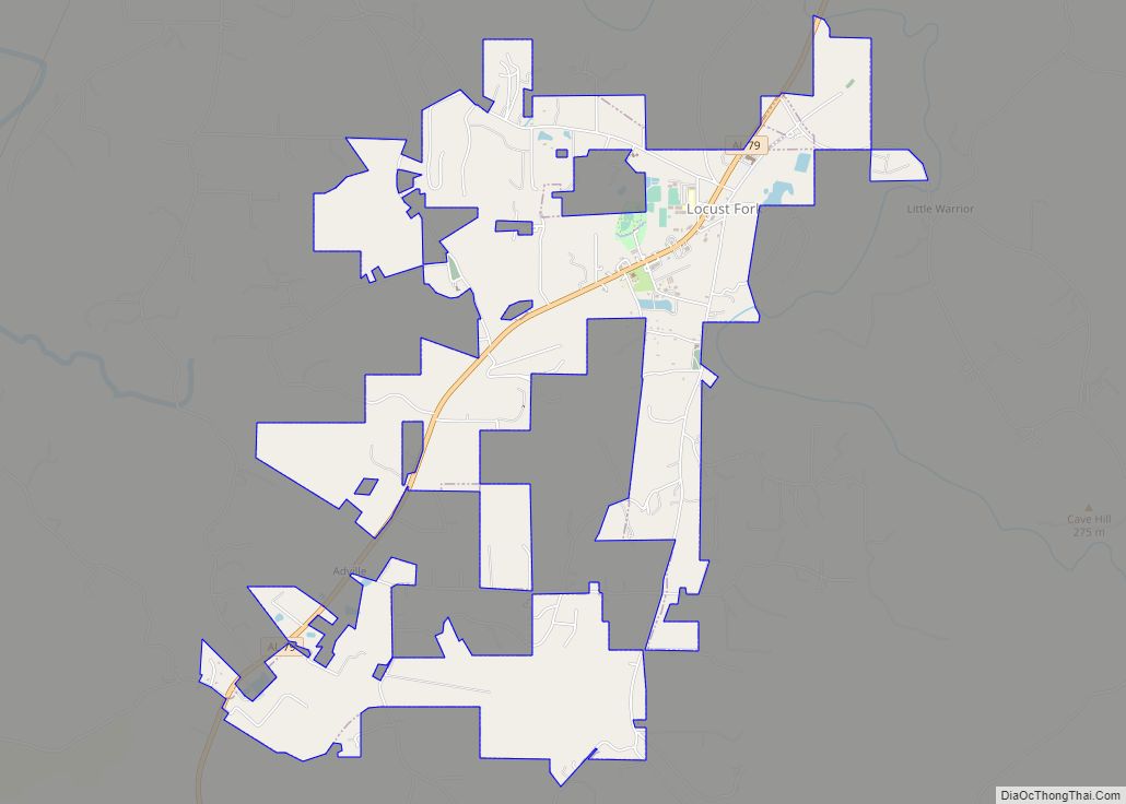
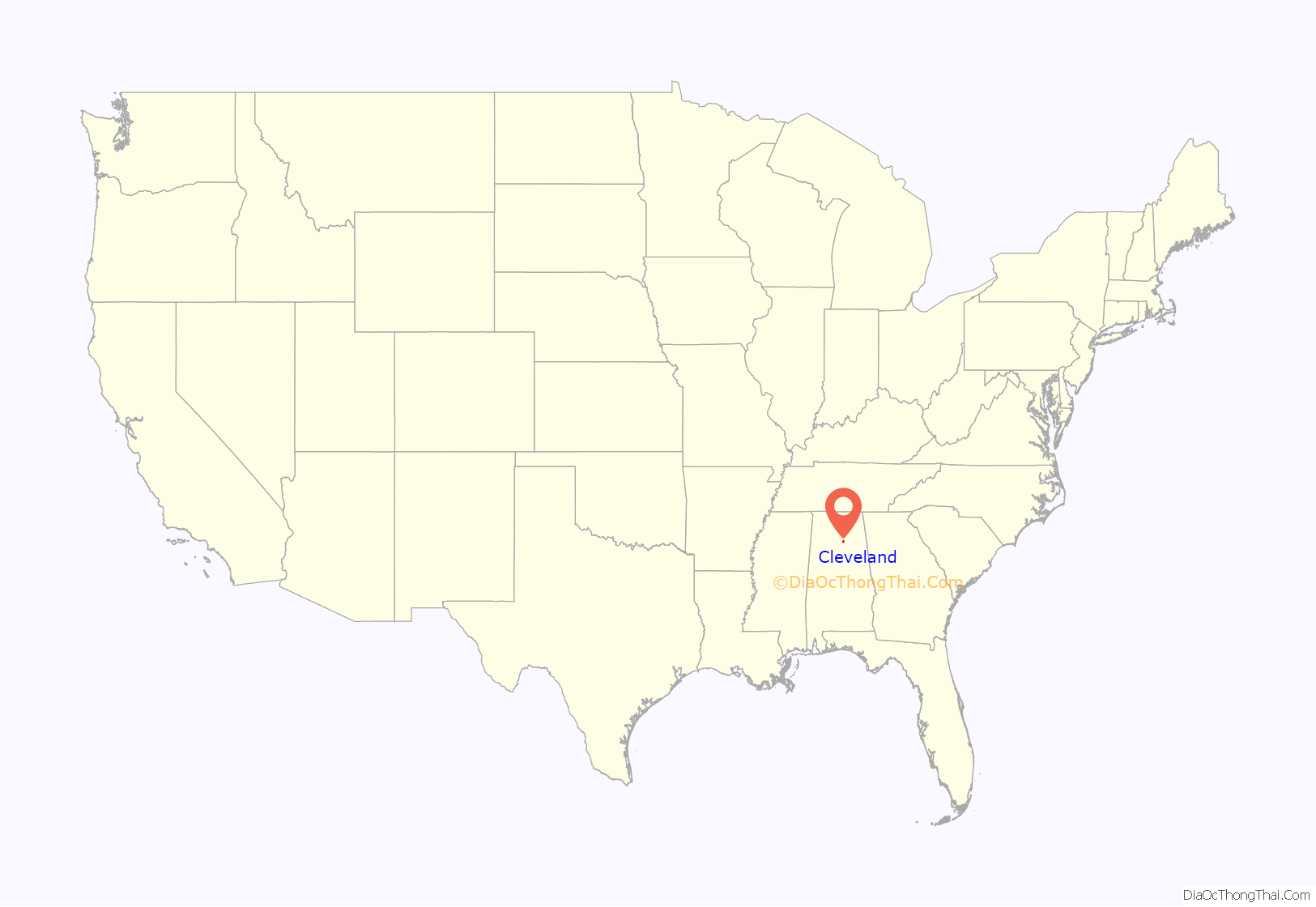
Cleveland location map. Where is Cleveland town?

History
Cleveland was settled in the 1820s, and had grown into a small community by the early 1880s. It was initially known as Dry Creek Crossroads, and afterward as Blackwood’s Crossroads, after local entrepreneur John Blackwood. When a post office was established in the community, it was named in honor of President Grover Cleveland. The town incorporated in 1964.
Cleveland Road Map

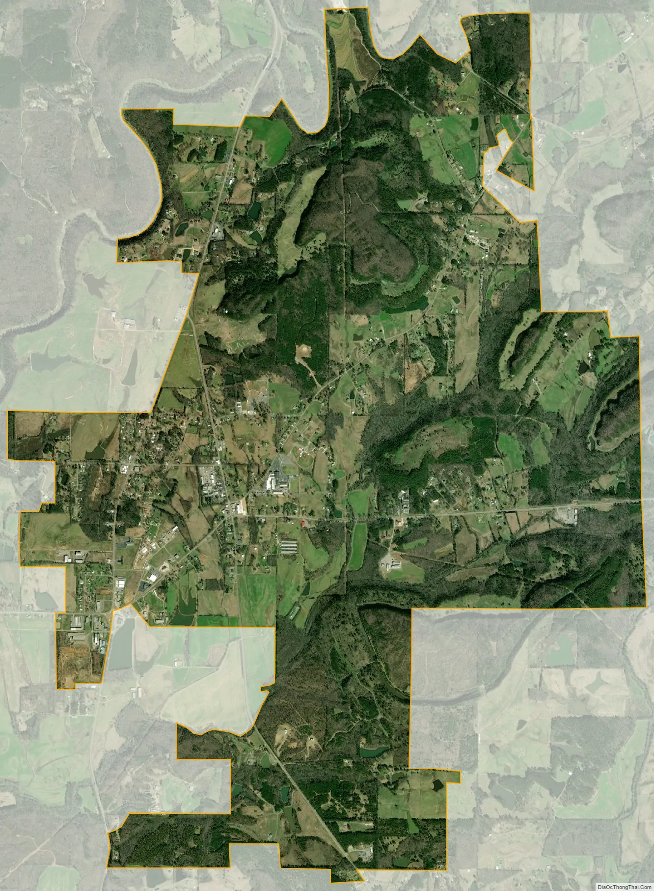
Cleveland city Satellite Map
Geography
Cleveland is located in central Blount County at 33°59’31.326″ North, 86°34’33.823″ West (33.992035, -86.576062). The Locust Fork of the Black Warrior River flows past the northwest side of the town. The National Register-listed Swann Covered Bridge, which spans the river, lies just west of Cleveland. U.S. Route 231 intersects Alabama State Route 79 north of the center of town. Route 231 leads southeast 7 miles (11 km) to Oneonta, the county seat, and north 56 miles (90 km) to Huntsville. Route 79 leads northeast 31 miles (50 km) to Guntersville and southwest 37 miles (60 km) to Birmingham.
According to the U.S. Census Bureau, the town has a total area of 7.9 square miles (20.4 km), of which 7.8 square miles (20.3 km) is land and 0.039 square miles (0.1 km), or 0.64%, is water.
See also
Map of Alabama State and its subdivision:- Autauga
- Baldwin
- Barbour
- Bibb
- Blount
- Bullock
- Butler
- Calhoun
- Chambers
- Cherokee
- Chilton
- Choctaw
- Clarke
- Clay
- Cleburne
- Coffee
- Colbert
- Conecuh
- Coosa
- Covington
- Crenshaw
- Cullman
- Dale
- Dallas
- De Kalb
- Elmore
- Escambia
- Etowah
- Fayette
- Franklin
- Geneva
- Greene
- Hale
- Henry
- Houston
- Jackson
- Jefferson
- Lamar
- Lauderdale
- Lawrence
- Lee
- Limestone
- Lowndes
- Macon
- Madison
- Marengo
- Marion
- Marshall
- Mobile
- Monroe
- Montgomery
- Morgan
- Perry
- Pickens
- Pike
- Randolph
- Russell
- Saint Clair
- Shelby
- Sumter
- Talladega
- Tallapoosa
- Tuscaloosa
- Walker
- Washington
- Wilcox
- Winston
- Alabama
- Alaska
- Arizona
- Arkansas
- California
- Colorado
- Connecticut
- Delaware
- District of Columbia
- Florida
- Georgia
- Hawaii
- Idaho
- Illinois
- Indiana
- Iowa
- Kansas
- Kentucky
- Louisiana
- Maine
- Maryland
- Massachusetts
- Michigan
- Minnesota
- Mississippi
- Missouri
- Montana
- Nebraska
- Nevada
- New Hampshire
- New Jersey
- New Mexico
- New York
- North Carolina
- North Dakota
- Ohio
- Oklahoma
- Oregon
- Pennsylvania
- Rhode Island
- South Carolina
- South Dakota
- Tennessee
- Texas
- Utah
- Vermont
- Virginia
- Washington
- West Virginia
- Wisconsin
- Wyoming