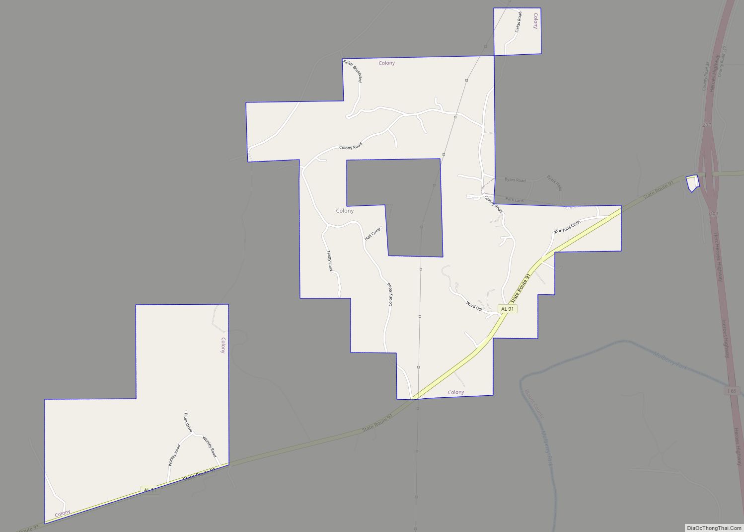
Colony is a town in Cullman County, Alabama, United States. At the 2010 census the population was 268, down from 385 in 2000. Colony is a historically African-American town. In its early days it was a haven for African Americans in the Deep South. It incorporated in 1981.
| Name: | Colony town |
|---|---|
| LSAD Code: | 43 |
| LSAD Description: | town (suffix) |
| State: | Alabama |
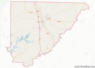
| County: | Cullman County |
| Elevation: | 456 ft (139 m) |
| Total Area: | 2.17 sq mi (5.63 km²) |
| Land Area: | 2.16 sq mi (5.60 km²) |
| Water Area: | 0.01 sq mi (0.02 km²) |
| Total Population: | 264 |
| Population Density: | 122.00/sq mi (47.11/km²) |
| FIPS code: | 0116684 |
| GNISfeature ID: | 1669444 |
Online Interactive Map
Click on ![]() to view map in "full screen" mode.
to view map in "full screen" mode.
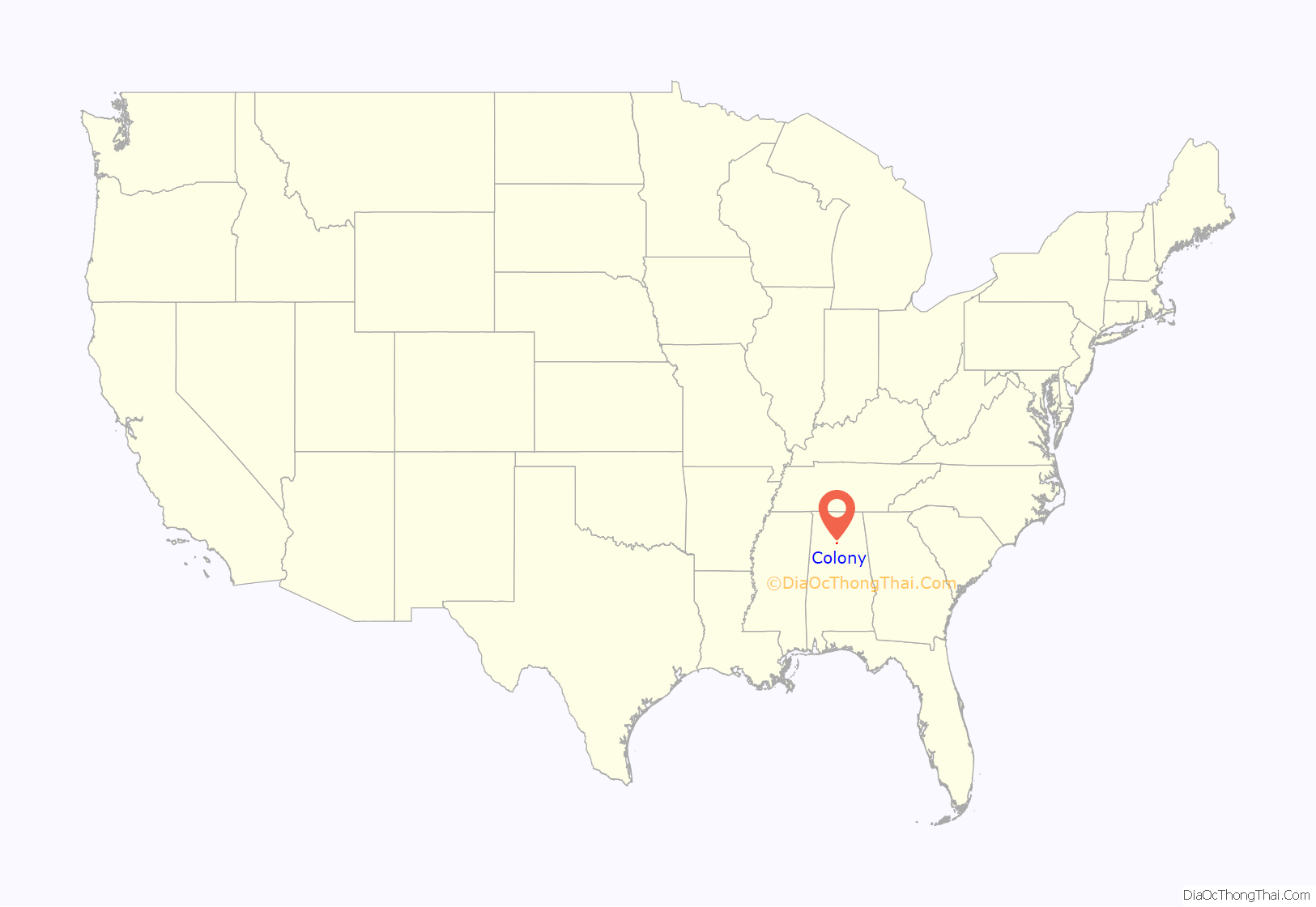
Colony location map. Where is Colony town?

History
Colony most likely was originally established soon after the emancipation of slaves after the Civil War, during Reconstruction. It is believed that the original settlers of the town were most likely freed slaves from Baltimore, Alabama. It is the only African American community in Cullman County, which was founded in 1873, and was considered a safe haven for Blacks at a time when other cities with white majorities were considered dangerous for Blacks, and referred to as ‘sundown’ cities because after sundown Blacks were in danger there. Those that originally settled there were given land as compensation for being slaves, with over 8,000 acres eventually cultivated as farm land.
In the early days of Colony it was not considered part of Cullman County because the freed Blacks were not welcome. But when coal mines began to open adjacent to Colony the leaders of Cullman County wanted to incorporate the coal mines into the county for economic reasons, and were forced to add Colony as well. Colony was incorporated as a town in 1981 during the tenure of Mayor Earlene Johnson. The town celebrates Colony Day annually in August.
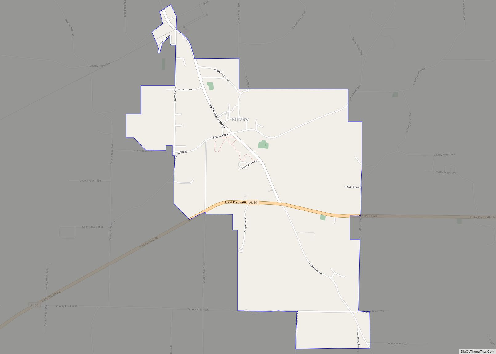
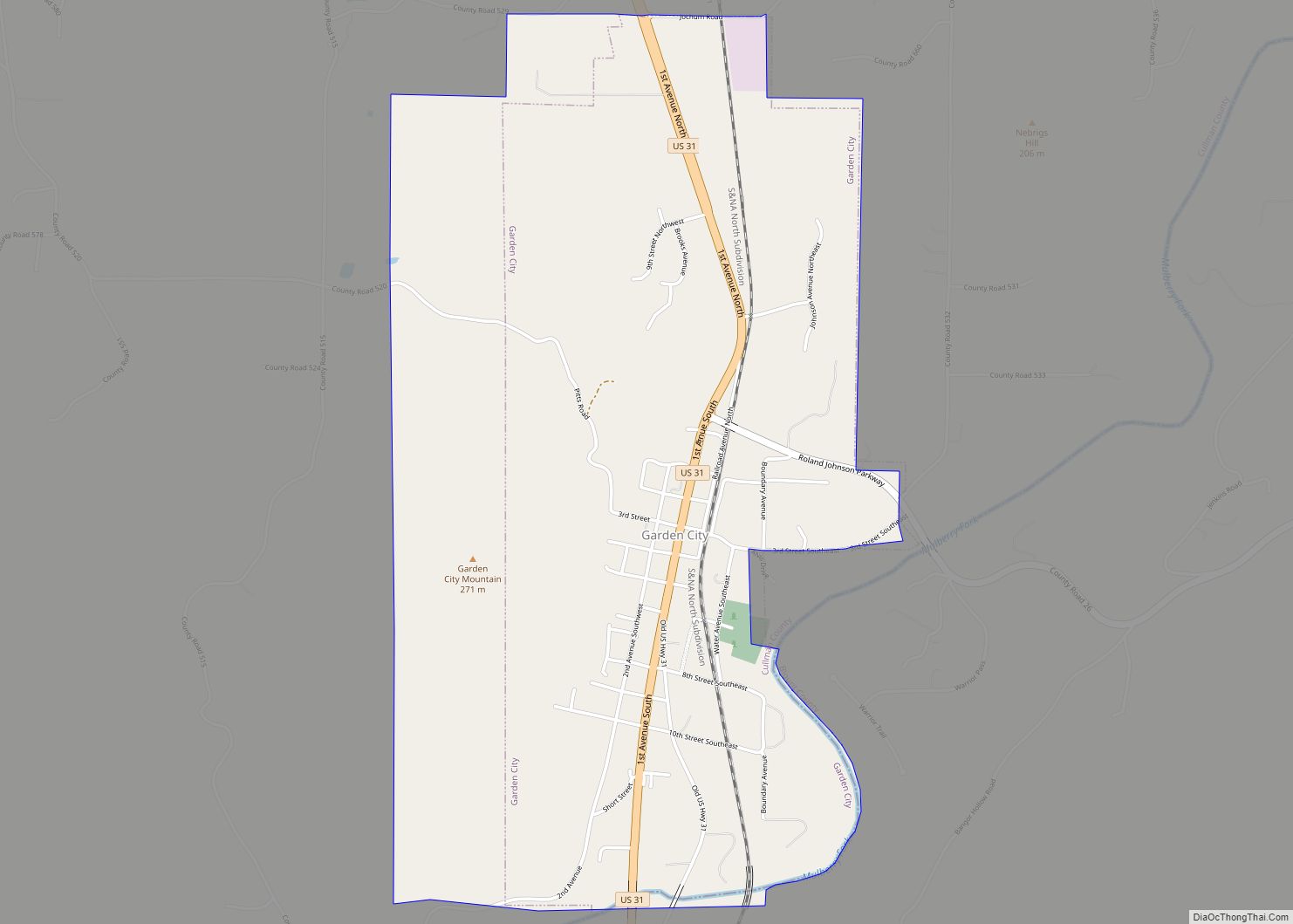
Colony Road Map

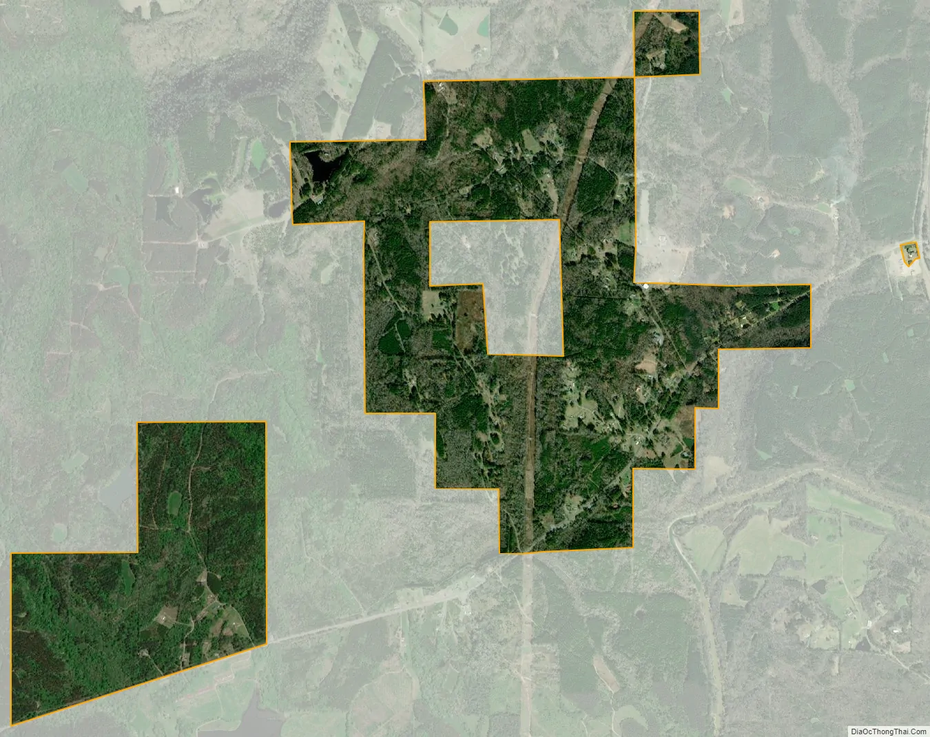
Colony city Satellite Map
Geography
Colony is located in southern Cullman County at 33°56′42″N 86°53′58″W / 33.94500°N 86.89944°W / 33.94500; -86.89944 (33.945011, -86.899465), about 1 mile (1.6 km) north of the Mulberry Fork of the Black Warrior River. The town is located along Alabama State Route 91, approximately one mile west of Interstate 65.
According to the U.S. Census Bureau, the town has a total area of 2.3 square miles (5.9 km), of which 0.008 square miles (0.02 km), or 0.40%, is water.
See also
Map of Alabama State and its subdivision:- Autauga
- Baldwin
- Barbour
- Bibb
- Blount
- Bullock
- Butler
- Calhoun
- Chambers
- Cherokee
- Chilton
- Choctaw
- Clarke
- Clay
- Cleburne
- Coffee
- Colbert
- Conecuh
- Coosa
- Covington
- Crenshaw
- Cullman
- Dale
- Dallas
- De Kalb
- Elmore
- Escambia
- Etowah
- Fayette
- Franklin
- Geneva
- Greene
- Hale
- Henry
- Houston
- Jackson
- Jefferson
- Lamar
- Lauderdale
- Lawrence
- Lee
- Limestone
- Lowndes
- Macon
- Madison
- Marengo
- Marion
- Marshall
- Mobile
- Monroe
- Montgomery
- Morgan
- Perry
- Pickens
- Pike
- Randolph
- Russell
- Saint Clair
- Shelby
- Sumter
- Talladega
- Tallapoosa
- Tuscaloosa
- Walker
- Washington
- Wilcox
- Winston
- Alabama
- Alaska
- Arizona
- Arkansas
- California
- Colorado
- Connecticut
- Delaware
- District of Columbia
- Florida
- Georgia
- Hawaii
- Idaho
- Illinois
- Indiana
- Iowa
- Kansas
- Kentucky
- Louisiana
- Maine
- Maryland
- Massachusetts
- Michigan
- Minnesota
- Mississippi
- Missouri
- Montana
- Nebraska
- Nevada
- New Hampshire
- New Jersey
- New Mexico
- New York
- North Carolina
- North Dakota
- Ohio
- Oklahoma
- Oregon
- Pennsylvania
- Rhode Island
- South Carolina
- South Dakota
- Tennessee
- Texas
- Utah
- Vermont
- Virginia
- Washington
- West Virginia
- Wisconsin
- Wyoming