Columbia is a town in Houston County, Alabama, United States. It is part of the Dothan, Alabama Metropolitan Statistical Area. At the 2010 census the population was 740, down from 804 in 2000.
| Name: | Columbia town |
|---|---|
| LSAD Code: | 43 |
| LSAD Description: | town (suffix) |
| State: | Alabama |
| County: | Houston County |
| Elevation: | 223 ft (68 m) |
| Total Area: | 4.00 sq mi (10.35 km²) |
| Land Area: | 3.93 sq mi (10.18 km²) |
| Water Area: | 0.07 sq mi (0.17 km²) |
| Total Population: | 690 |
| Population Density: | 175.53/sq mi (67.77/km²) |
| ZIP code: | 36319 |
| Area code: | 334 |
| FIPS code: | 0116744 |
| GNISfeature ID: | 0116457 |
Online Interactive Map
Click on ![]() to view map in "full screen" mode.
to view map in "full screen" mode.
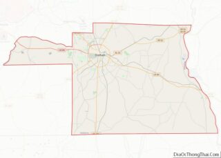
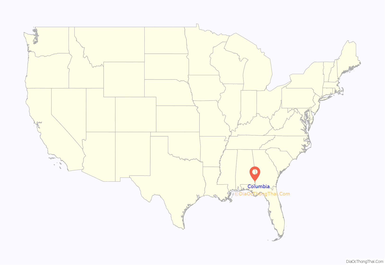
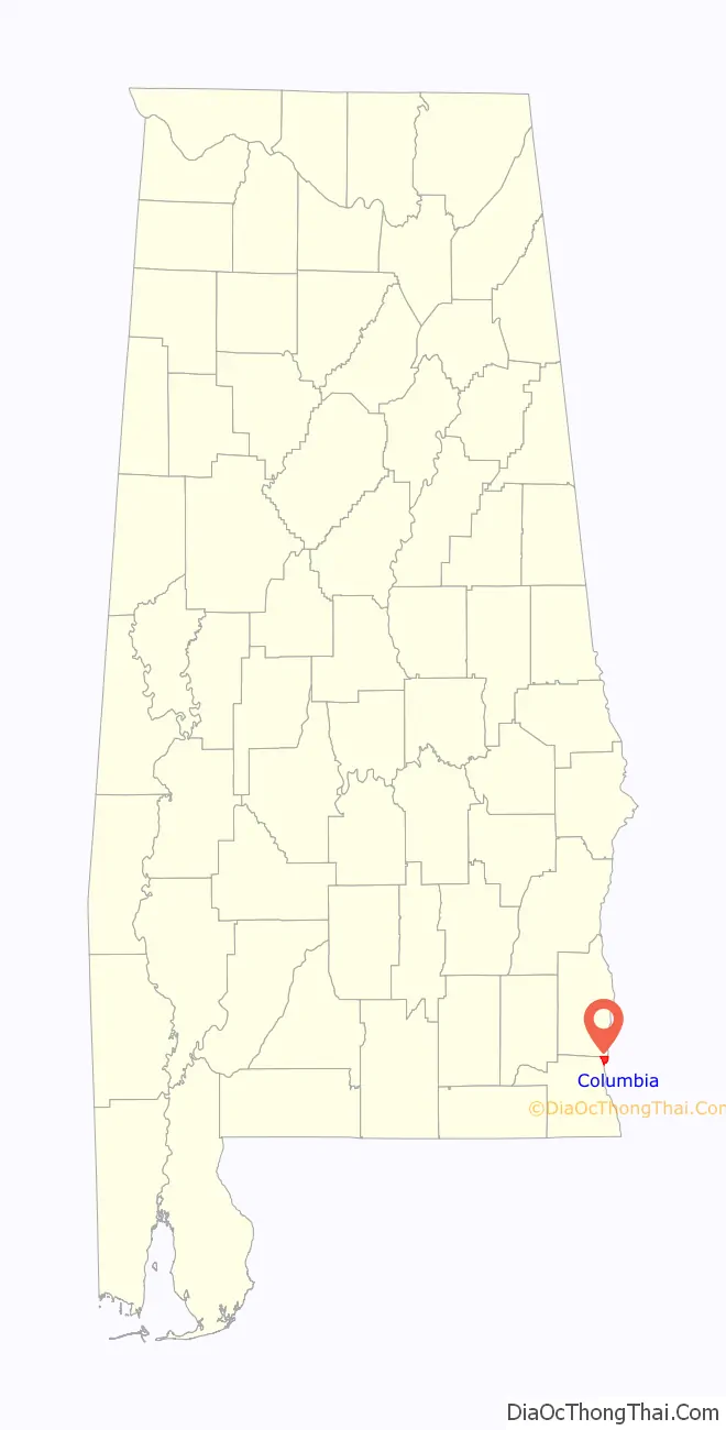
Columbia location map. Where is Columbia town?
History
Founded in 1820, Columbia served as a major trading center for communities throughout the Wiregrass Region of Alabama between 1822 and 1833, which coincided as its time as Henry County seat. Henry County which then comprised portions of present-day Covington, Dale, Barbour, Coffee, Crenshaw, Bullock, Geneva, and Houston counties. It lost the county seat status to Abbeville in 1833.
Bordering the State of Georgia and the Chattahoochee River, Columbia was a major port-of-call for steamboats and was known to many as “Old Columbia”. The town was incorporated on April 29, 1880 and was the center of education, culture, commerce, and trade. Columbia was the largest town in the area during the 19th century and remains one of the area’s oldest continuously operating municipalities.
Columbia received its first cotton textile mill in 1891 and its first electric plant in 1892. A branch of the Henry County Courthouse was located here from 1889 until Columbia became part of Houston County in 1903. Columbia got electric street lights in 1900 and its first electric utility company in 1914.
At the turn of the 20th century, Columbia was bypassed by the Alabama Midland Railway in favor of Dothan. As the railroads continued to take freight trade away from the riverboats. Columbia’s position as a principal trade center began to decline; however, Columbia sustained itself as a thriving farming community through the mid-20th century.
Old Columbia Jail
Erected sometime in the early 1860s, the Old Columbia Jail is today one of the last wooden jails still standing in Alabama. Originally, there were two cells, each measuring 10×15 feet. Interior walls are studded every two inches with iron spikes to prevent prisoners from being able to escape. The Columbia Women’s Club and the Columbia Bicentennial Committee have completely renovated the building for use as a museum to preserve some of the articles of historical interest to Columbia citizens.
Purcell-Killingsworth House
The Purcell-Killingsworth House, also known as “Traveler’s Rest” was completed in 1890 by William Henry Purcell (1845–1910), a prominent Columbia business man and politician. Purcell had many business interests including a steamboat landing on the Chattahoochee River. This was the boyhood home of Bishop Clare Purcell (1884–1964) who, in 1955, was elected President of the United Methodist Council of Bishops, the highest place of recognition ever achieved by a native-born Alabama Methodist minister. In 1946, the Purcell Family sold the two acre homestead to Mr. & Mrs. Henry Killingsworth who have meticulously restored this imposing Victorian mansion. It was placed on the National Register of Historic Places on December 16, 1982.
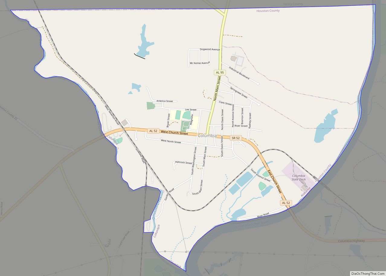
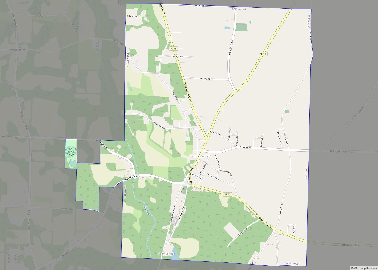
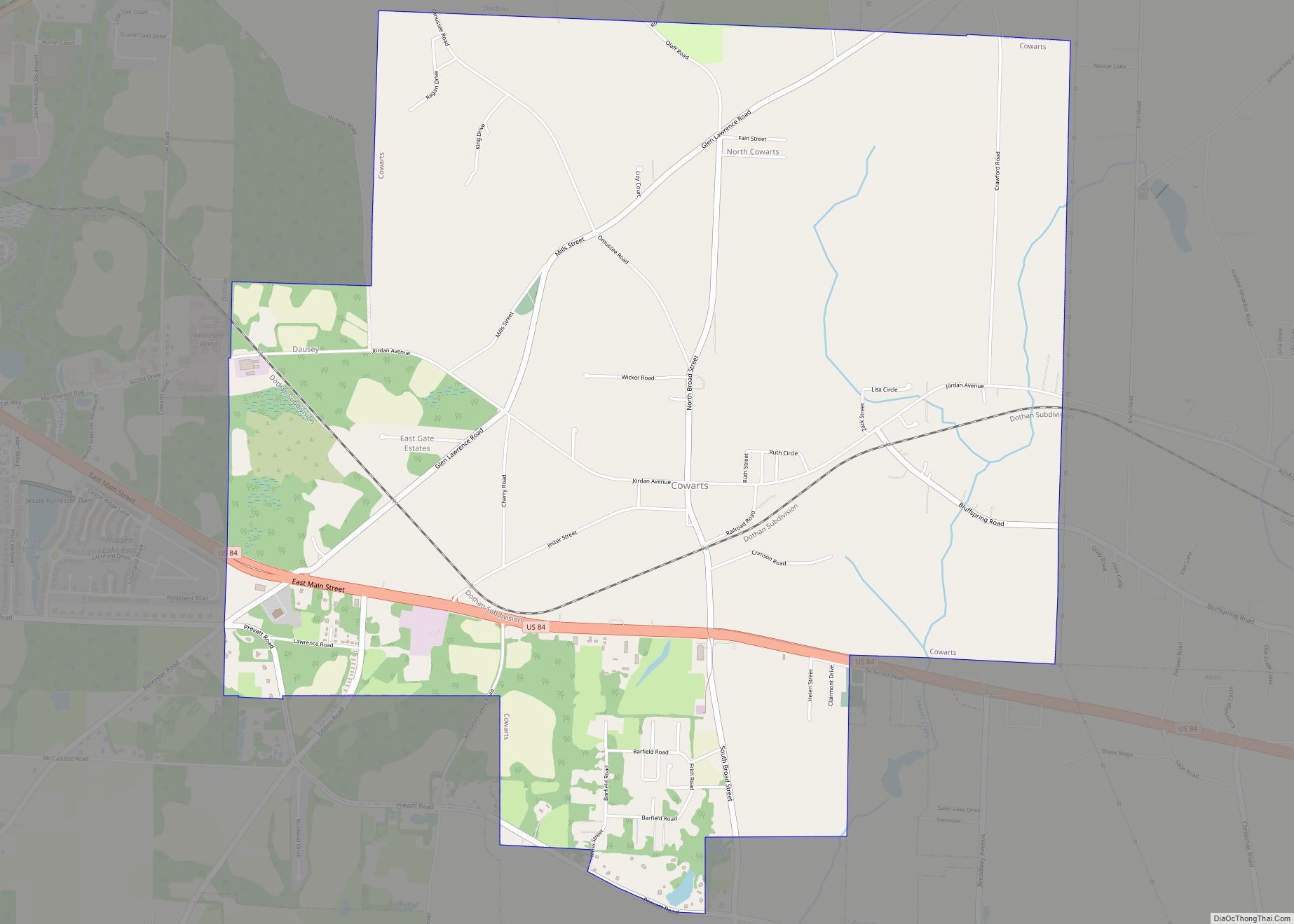
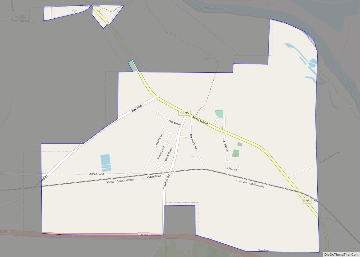
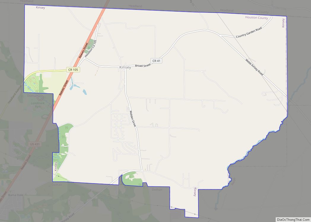
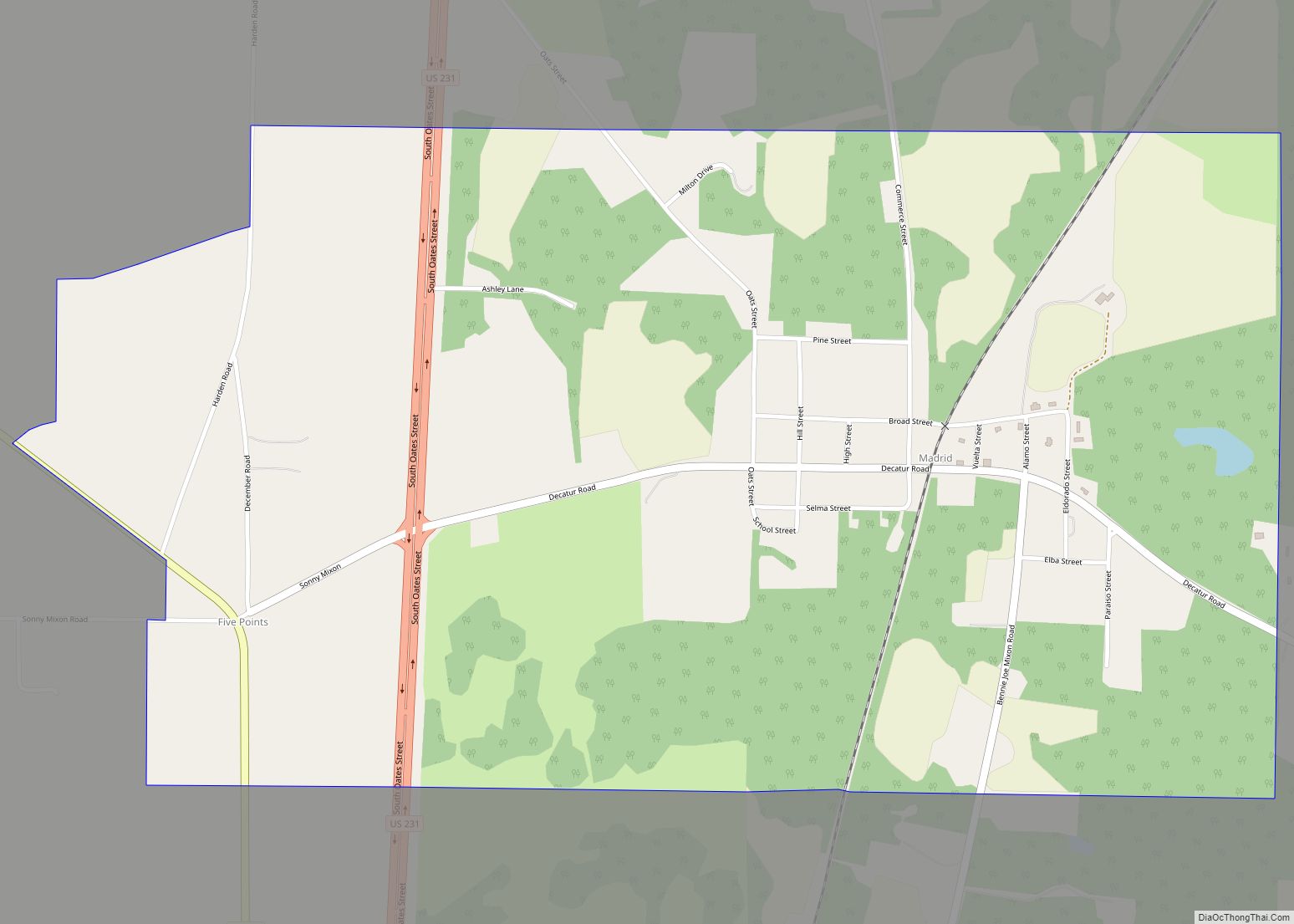
Columbia Road Map
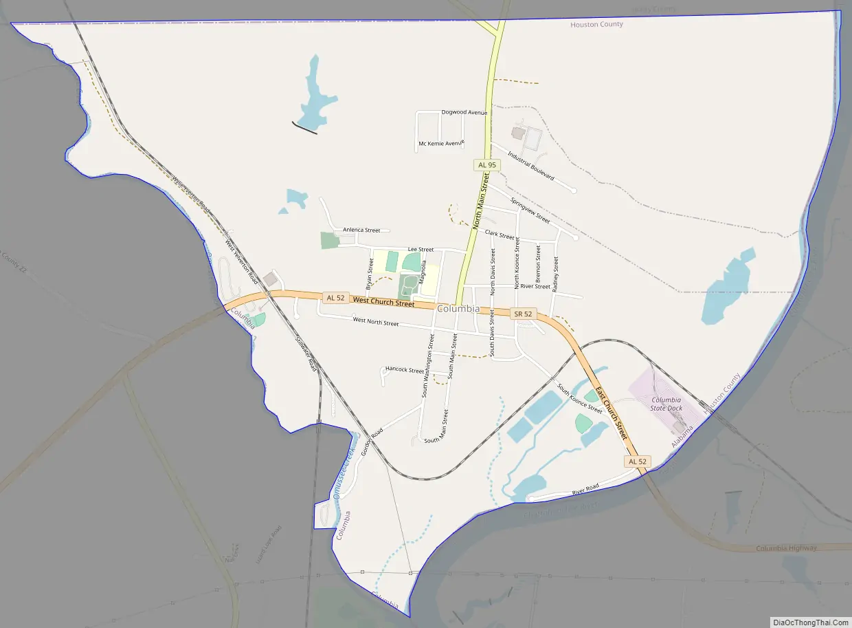
Columbia city Satellite Map
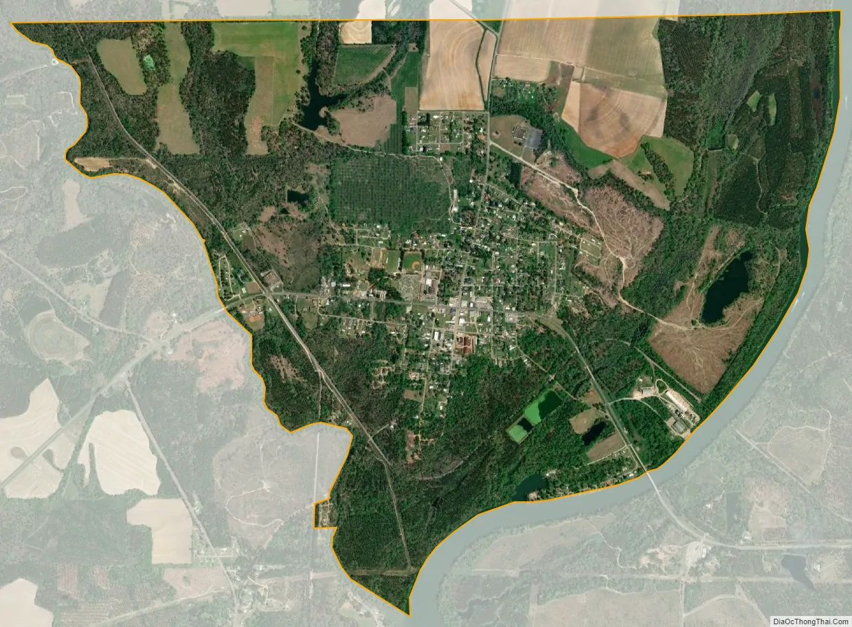
Geography
Columbia is located in the northeastern corner of Houston County at 31°17′32″N 85°06′44″W / 31.292283°N 85.112123°W / 31.292283; -85.112123.
The town is located on the Georgia-Alabama state line along Alabama State Routes 52 and 95. AL-52 is the main east–west route through the town, leading east 1 mi (1.6 km) to the Georgia state line, and west 10 mi (16 km) to Webb. AL-95 begins in the town and leads north 23 mi (37 km) to Abbeville. Alabama State Route 134 also begins in the town, leading west 17 mi (27 km) to Headland.
According to the U.S. Census Bureau, the town has a total area of 4.0 square miles (10 km), of which 3.9 square miles (10 km) is land and 0.1 square miles (0.26 km) (1.75%) is water.
See also
Map of Alabama State and its subdivision:- Autauga
- Baldwin
- Barbour
- Bibb
- Blount
- Bullock
- Butler
- Calhoun
- Chambers
- Cherokee
- Chilton
- Choctaw
- Clarke
- Clay
- Cleburne
- Coffee
- Colbert
- Conecuh
- Coosa
- Covington
- Crenshaw
- Cullman
- Dale
- Dallas
- De Kalb
- Elmore
- Escambia
- Etowah
- Fayette
- Franklin
- Geneva
- Greene
- Hale
- Henry
- Houston
- Jackson
- Jefferson
- Lamar
- Lauderdale
- Lawrence
- Lee
- Limestone
- Lowndes
- Macon
- Madison
- Marengo
- Marion
- Marshall
- Mobile
- Monroe
- Montgomery
- Morgan
- Perry
- Pickens
- Pike
- Randolph
- Russell
- Saint Clair
- Shelby
- Sumter
- Talladega
- Tallapoosa
- Tuscaloosa
- Walker
- Washington
- Wilcox
- Winston
- Alabama
- Alaska
- Arizona
- Arkansas
- California
- Colorado
- Connecticut
- Delaware
- District of Columbia
- Florida
- Georgia
- Hawaii
- Idaho
- Illinois
- Indiana
- Iowa
- Kansas
- Kentucky
- Louisiana
- Maine
- Maryland
- Massachusetts
- Michigan
- Minnesota
- Mississippi
- Missouri
- Montana
- Nebraska
- Nevada
- New Hampshire
- New Jersey
- New Mexico
- New York
- North Carolina
- North Dakota
- Ohio
- Oklahoma
- Oregon
- Pennsylvania
- Rhode Island
- South Carolina
- South Dakota
- Tennessee
- Texas
- Utah
- Vermont
- Virginia
- Washington
- West Virginia
- Wisconsin
- Wyoming