Map of Dillsboro town, Indiana
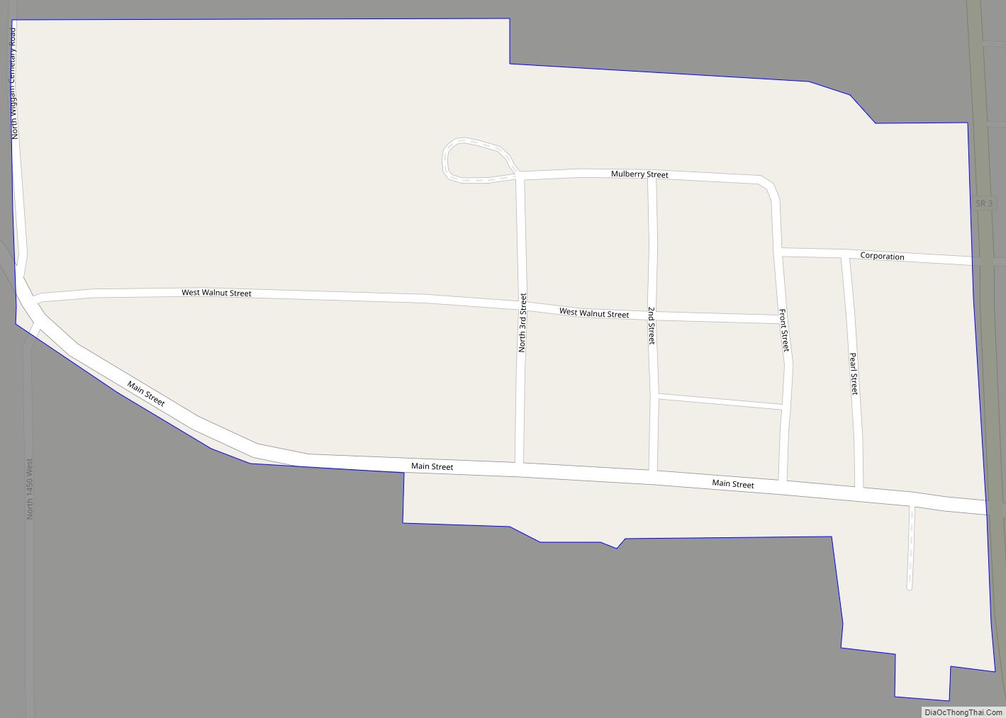
Dillsboro is a town in Clay Township, Dearborn County, Indiana, United States. As of 2020, the population is 1,360. Dillsboro town overview: Name: Dillsboro town LSAD Code: 43 LSAD Description: town (suffix) State: Indiana County: Dearborn County Elevation: 869 ft (265 m) Total Area: 1.33 sq mi (3.45 km²) Land Area: 1.33 sq mi (3.45 km²) Water Area: 0.00 sq mi (0.00 km²) Total Population: 1,360 ... Read more
Map of Dillsboro town, Indiana
Map of Deputy CDP
Deputy is a mid unincorporated community and census-designated place (CDP) in Graham Township, Jefferson County, Indiana, United States. By road it is approximately 18 miles (29 km) northwest of Madison, the county seat. As of the 2010 census it had a population of 86. Deputy CDP overview: Name: Deputy CDP LSAD Code: 57 LSAD Description: CDP ... Read more
Map of Deputy CDP
Map of Dubois CDP, Indiana
Dubois is an unincorporated community and census-designated place (CDP) in Dubois County, Indiana, United States. Its population at the 2010 census was 488. Dubois CDP overview: Name: Dubois CDP LSAD Code: 57 LSAD Description: CDP (suffix) State: Indiana County: Dubois County Elevation: 584 ft (178 m) Total Area: 1.60 sq mi (4.14 km²) Land Area: 1.57 sq mi (4.07 km²) Water Area: 0.03 sq mi ... Read more
Map of Dubois CDP, Indiana
Map of Dublin town, Indiana
Dublin is a town in Jackson Township, Wayne County, in the U.S. state of Indiana. The population was 679 at the 2020 census. Dublin town overview: Name: Dublin town LSAD Code: 43 LSAD Description: town (suffix) State: Indiana County: Wayne County Elevation: 1,053 ft (321 m) Total Area: 0.53 sq mi (1.37 km²) Land Area: 0.52 sq mi (1.34 km²) Water Area: 0.01 sq mi ... Read more
Map of Dublin town, Indiana
Map of Dresser CDP, Indiana
Dresser CDP overview: Name: Dresser CDP LSAD Code: 57 LSAD Description: CDP (suffix) State: Indiana County: Vigo County FIPS code: 1818658 Online Interactive Map Dresser online map. Source: Basemap layers from Google Map, Open Street Map (OSM), Arcgisonline, Wmflabs. Boundary Data from Database of Global Administrative Areas. Dresser location map. Where is Dresser CDP? Dresser ... Read more
Map of Dresser CDP, Indiana
Map of Dunkirk city, Indiana
Dunkirk is a city in Blackford and Jay counties in the U.S. state of Indiana. The population was 2,164 at the 2020 census. Dunkirk city overview: Name: Dunkirk city LSAD Code: 25 LSAD Description: city (suffix) State: Indiana County: Blackford County, Jay County Elevation: 945 ft (288 m) Total Area: 1.19 sq mi (3.07 km²) Land Area: 1.18 sq mi (3.04 km²) Water ... Read more
Map of Dunkirk city, Indiana
Map of Dune Acres town
Dune Acres is a town in Westchester Township, Porter County, in the U.S. state of Indiana. The population was 182 at the 2010 census. Dune Acres is located in the duneland of the south shore of Lake Michigan. Many residents of Dune Acres and surrounding communities helped preserve parts of the Indiana Dunes. Dune Acres ... Read more
Map of Dune Acres town
Map of Dugger town
Dugger is a town in Cass Township, Sullivan County, Indiana, United States. The population was 920 at the 2010 census. It is part of the Terre Haute Metropolitan Statistical Area. Dugger town overview: Name: Dugger town LSAD Code: 43 LSAD Description: town (suffix) State: Indiana County: Sullivan County Elevation: 577 ft (176 m) Total Area: 0.59 sq mi (1.52 km²) ... Read more
Map of Dugger town
Map of Dupont town, Indiana
Dupont is a town in Lancaster Township, Jefferson County, Indiana, United States. The population was 339 at the 2010 census. Dupont town overview: Name: Dupont town LSAD Code: 43 LSAD Description: town (suffix) State: Indiana County: Jefferson County Elevation: 791 ft (241 m) Total Area: 1.01 sq mi (2.61 km²) Land Area: 1.01 sq mi (2.61 km²) Water Area: 0.00 sq mi (0.00 km²) Total Population: ... Read more
Map of Dupont town, Indiana
Map of Dunreith town
Dunreith is a town in Spiceland Township, Henry County, Indiana, United States. The population was 177 at the 2010 census. Dunreith town overview: Name: Dunreith town LSAD Code: 43 LSAD Description: town (suffix) State: Indiana County: Henry County Elevation: 1,043 ft (318 m) Total Area: 0.12 sq mi (0.32 km²) Land Area: 0.12 sq mi (0.32 km²) Water Area: 0.00 sq mi (0.00 km²) Total Population: ... Read more
Map of Dunreith town
Map of Dunlap CDP, Indiana
Dunlap is a census-designated place (CDP) in Elkhart County, Indiana, United States. The population was 6,235 at the 2010 census. Once a small farming community, by the 1980s it had become a suburb of Elkhart and Goshen, Indiana. Most of the town was destroyed by two violent F4 tornadoes during the Palm Sunday Tornado Outbreak ... Read more
Map of Dunlap CDP, Indiana
Map of East Chicago city
East Chicago is a city in Lake County, Indiana, United States. The population was 29,698 at the 2010 census. The city is home of the Indiana Harbor and Ship Canal, an artificial freshwater harbor characterized by industrial and manufacturing activity. Situated along Lake Michigan, East Chicago is about 18 miles from downtown Chicago, Illinois and ... Read more
Map of East Chicago city