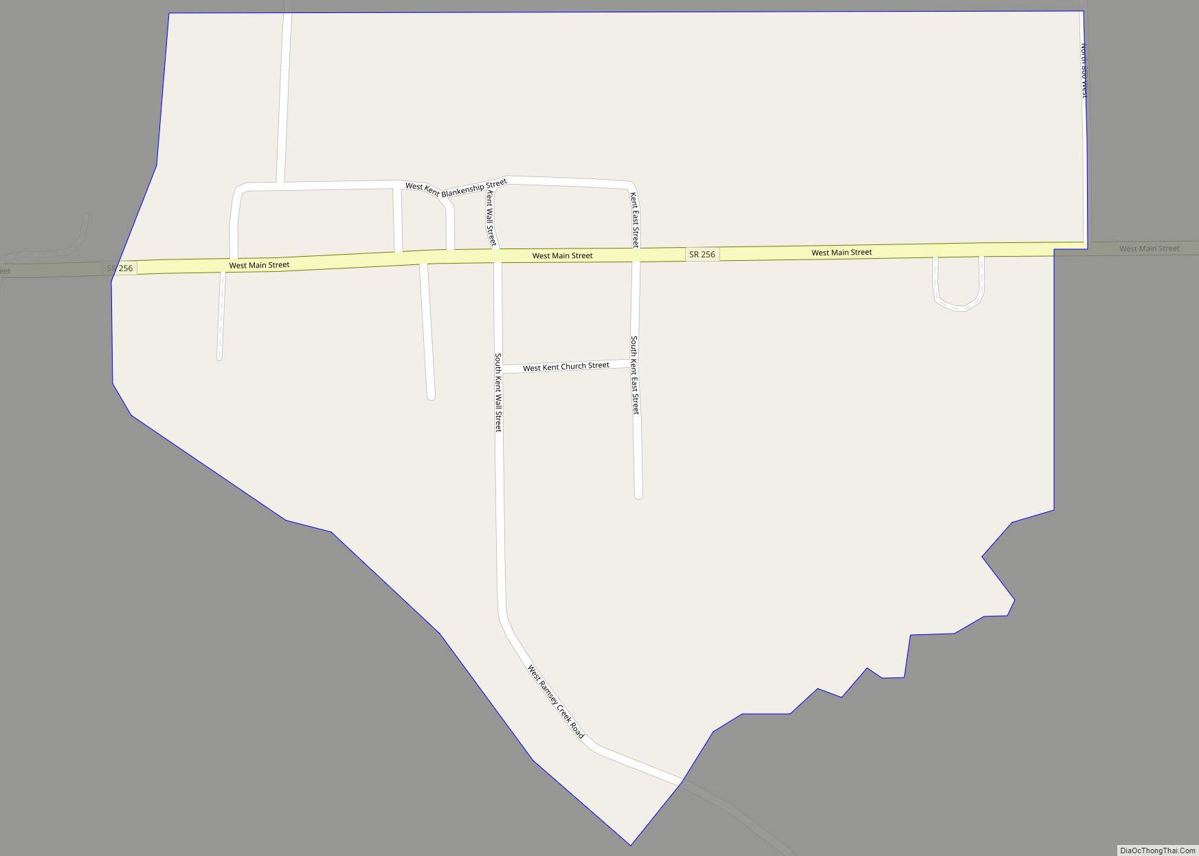
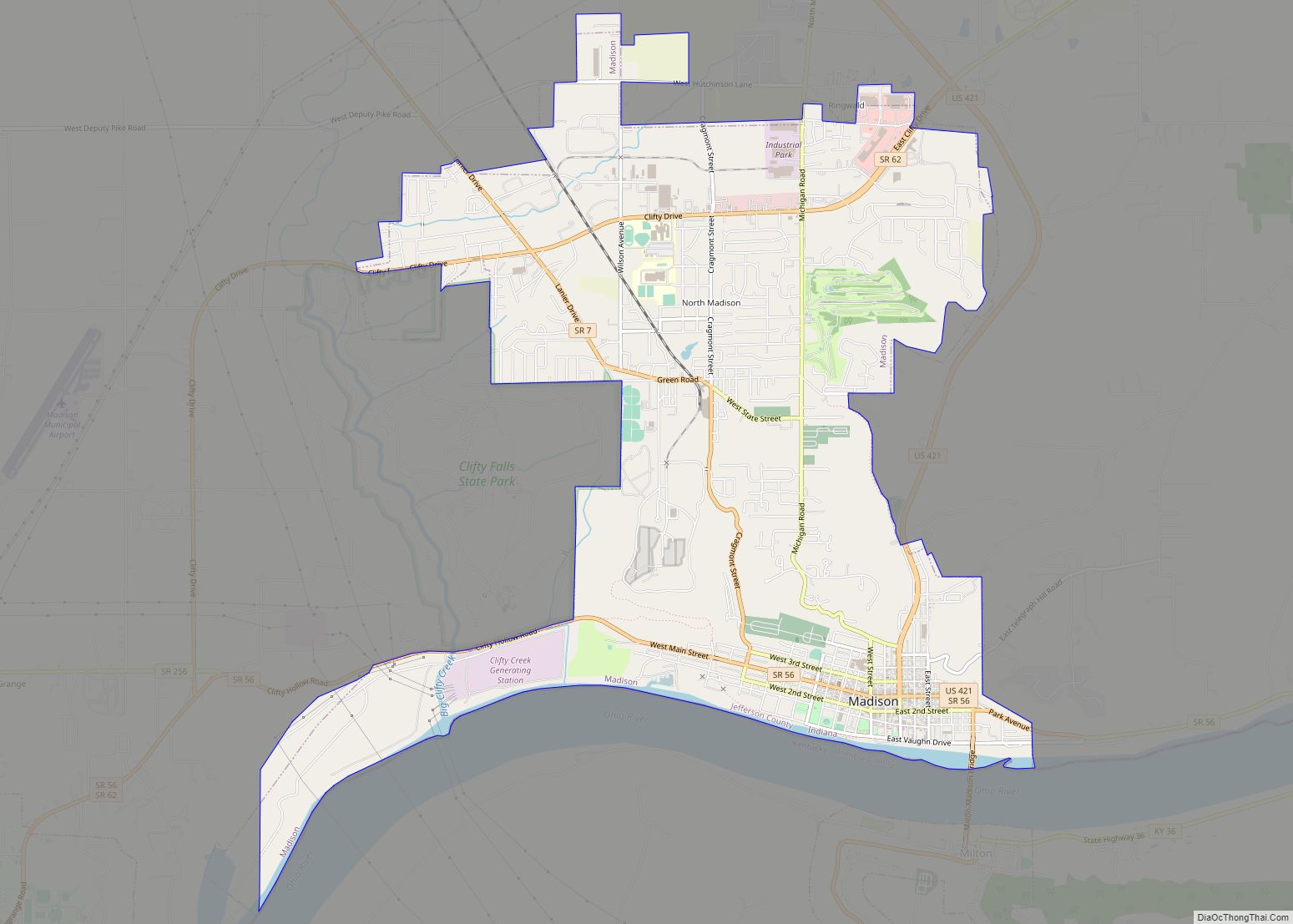
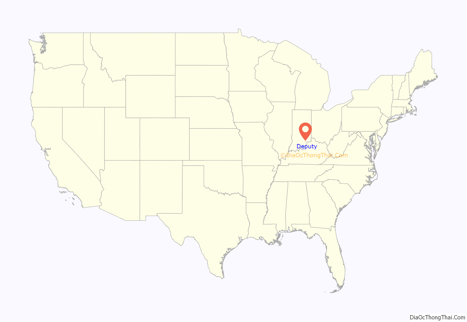
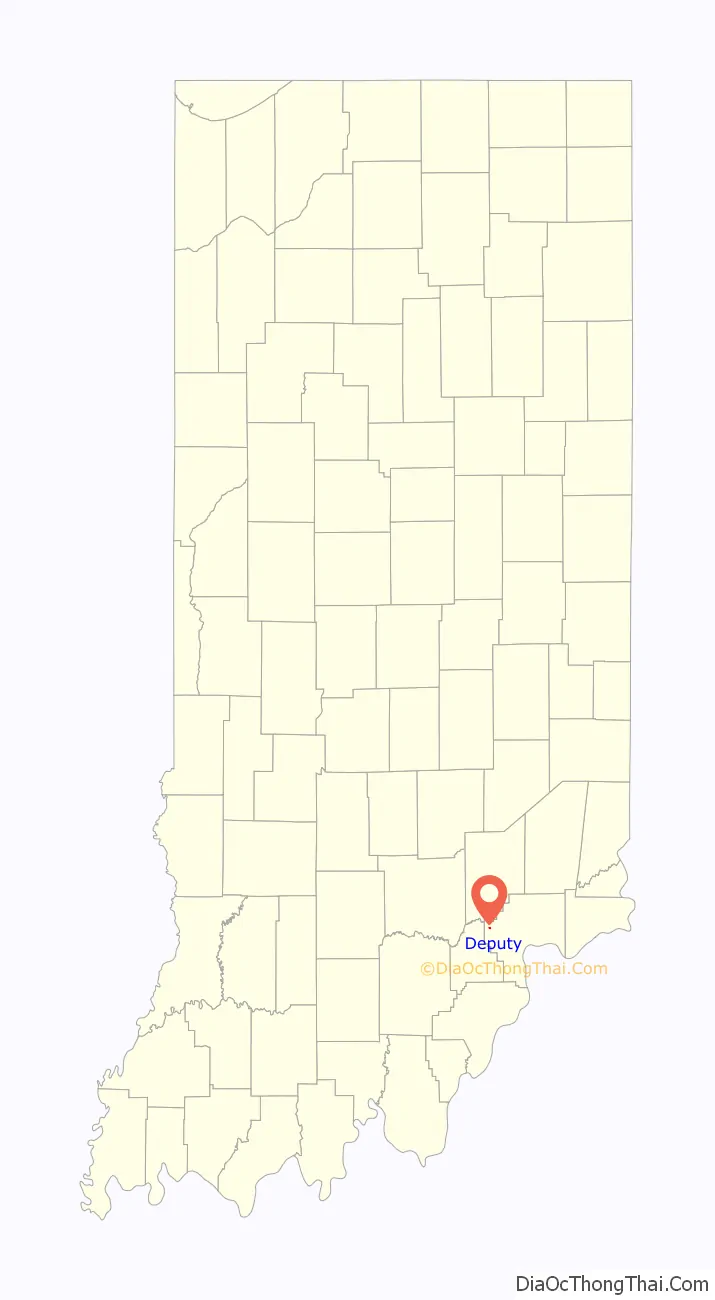
Deputy is a mid unincorporated community and census-designated place (CDP) in Graham Township, Jefferson County, Indiana, United States. By road it is approximately 18 miles (29 km) northwest of Madison, the county seat. As of the 2010 census it had a population of 86.
| Name: | Deputy CDP |
|---|---|
| LSAD Code: | 57 |
| LSAD Description: | CDP (suffix) |
| State: | Indiana |
| County: | Jefferson County |
| Elevation: | 627 ft (191 m) |
| Total Area: | 0.07 sq mi (0.19 km²) |
| Land Area: | 0.07 sq mi (0.19 km²) |
| Water Area: | 0.00 sq mi (0.00 km²) |
| Total Population: | 86 |
| Population Density: | 1,162.16/sq mi (450.25/km²) |
| ZIP code: | 47230 |
| FIPS code: | 1817812 |
| GNISfeature ID: | 433488 |
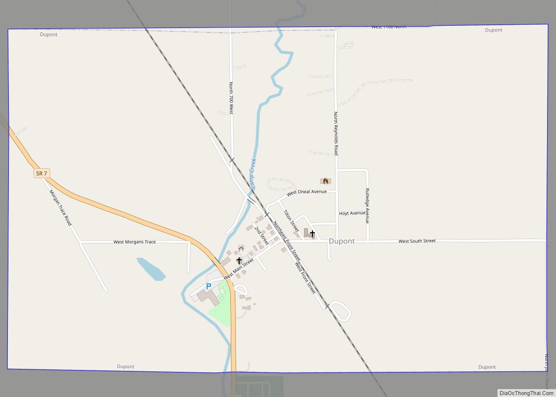
Online Interactive Map
Click on ![]() to view map in "full screen" mode.
to view map in "full screen" mode.
Deputy location map. Where is Deputy CDP?
History
Deputy was laid out as a town in March 1871 by Foster C. Wilson, the husband of Margaret Mary Deputy and son-in-law of John and Harriet Deputy.
Local lore – and probably the source of the town’s name – indicates that the area was first settled in the 1810s by a number of Deputy families that had migrated to Clark County, Indiana, from Sussex County, Delaware, probably as a result of the conclusion of the Treaty of Fort Wayne in September 1809 which opened up lands in the Indiana territory to American settlement.
Deputy Pike is the historic road which connects Deputy to the county seat, Madison. It begins as Main Street and then heads east for 13 miles (21 km), becoming Deputy Pike at State Highway 3 and West Deputy Pike Road at North Home Road. It eventually merges with State Highway 7, which runs southeast to Madison. Deputy Pike is a scenic route along the Muskatatuck River (“Big Creek” as it is known locally) along the road’s western and central portions and along Harbert’s Creek to the east. It runs by several cemeteries such as Robertson Cemetery and through the smaller communities of Wakefield and Volga. It was originally a toll road but has long since been publicly maintained by the county.
A notable historic site that once overlooked Deputy was a large tree. This tree was hundreds of years old and tales of the tree were said to be heard in Native American tribes throughout the area. The tree was located where the United States Post Office is now located.
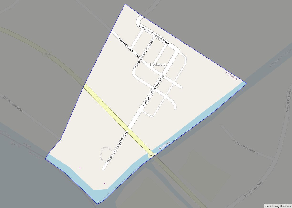
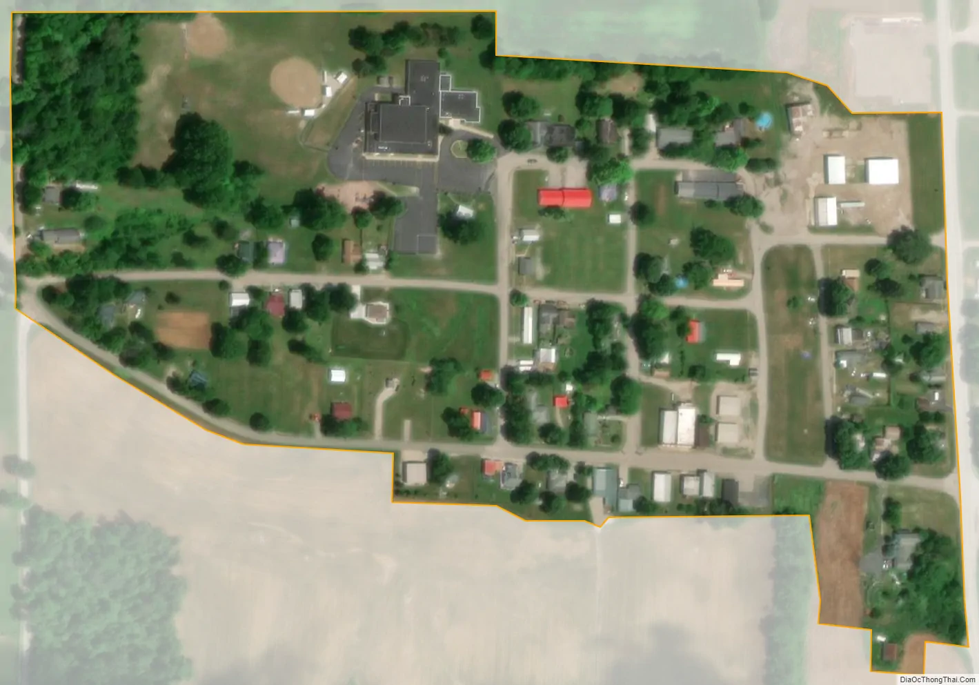
Some other important places in the Deputy area are the United States Post Office, the Deputy Elementary School and Crop Production Services. The heavily forested rural area surrounding Deputy supports several sawmills including TinyTIMBERS, Baxter Lumber and Phillips Millwork.
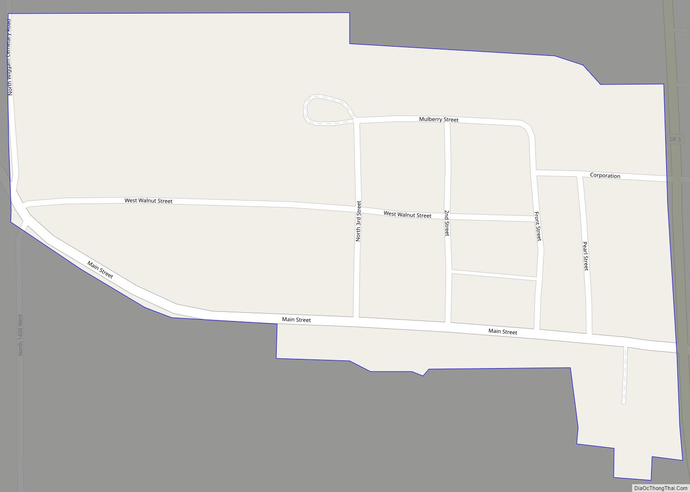
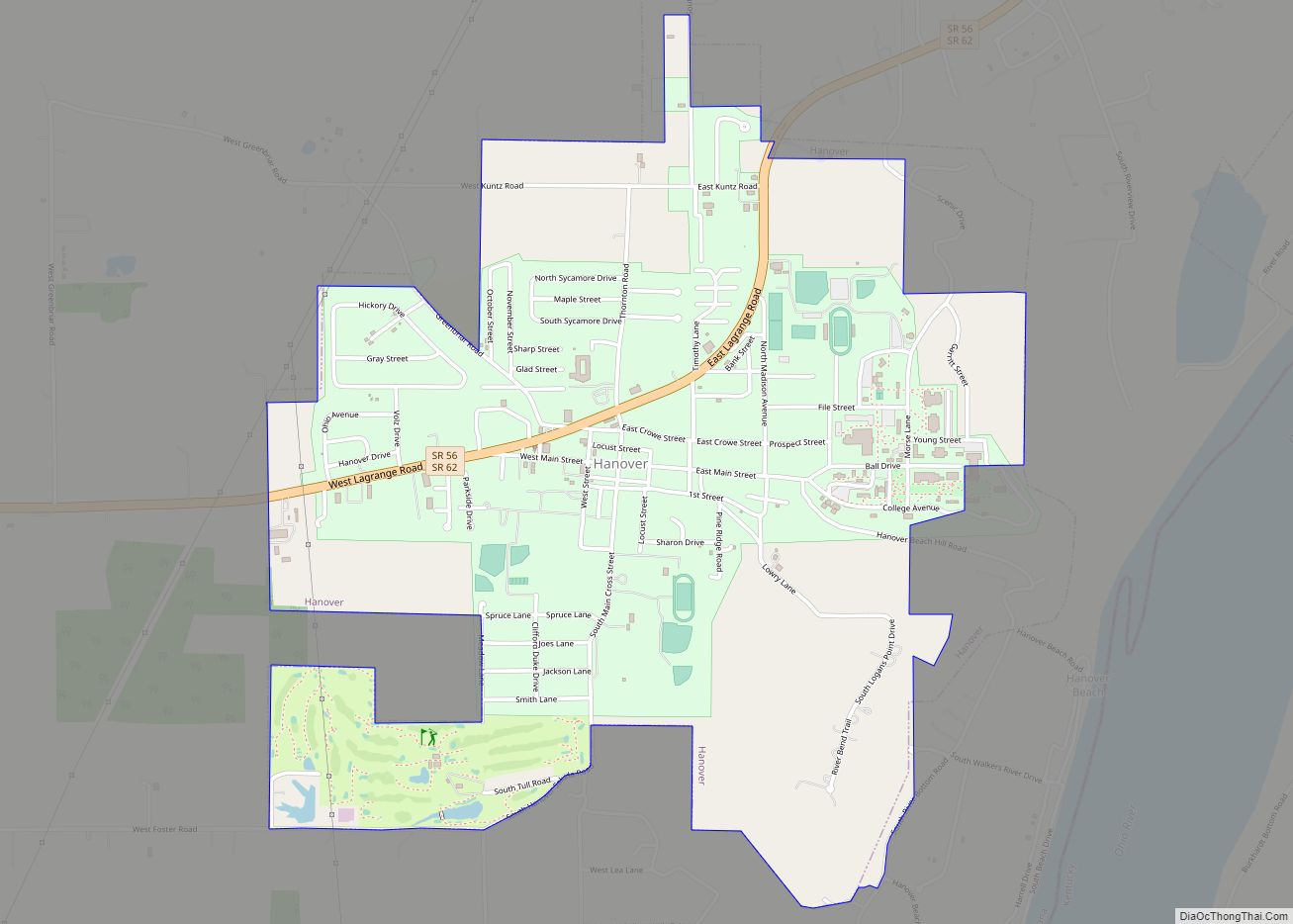
Deputy Road Map

Deputy city Satellite Map
Geography
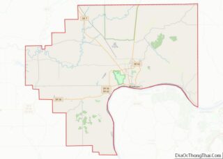
Deputy is located in western Jefferson County at 38°47′39″N 85°39′12″W / 38.79417°N 85.65333°W / 38.79417; -85.65333, northwest of the center of Graham Township. Indiana State Road 3 forms the eastern edge of the community; the highway leads north 16 miles (26 km) to North Vernon and south 40 miles (64 km) to Jeffersonville.
According to the U.S. Census Bureau, the Deputy CDP has an area of 0.073 square miles (0.19 km), all of it recorded as land. Lewis Creek flows northward just east of the community, leading in 1 mile (1.6 km) to the Muscatatuck River, part of the White River watershed.
Deputy is located on land that is considered to be of karst topography. The town and the area around it contain numerous sink holes and caves.
Climate
The climate in this area is characterized by hot, humid summers and generally mild to cool winters. According to the Köppen Climate Classification system, Deputy has a humid subtropical climate, abbreviated “Cfa” on climate maps.
See also
Map of Indiana State and its subdivision:- Adams
- Allen
- Bartholomew
- Benton
- Blackford
- Boone
- Brown
- Carroll
- Cass
- Clark
- Clay
- Clinton
- Crawford
- Daviess
- De Kalb
- Dearborn
- Decatur
- Delaware
- Dubois
- Elkhart
- Fayette
- Floyd
- Fountain
- Franklin
- Fulton
- Gibson
- Grant
- Greene
- Hamilton
- Hancock
- Harrison
- Hendricks
- Henry
- Howard
- Huntington
- Jackson
- Jasper
- Jay
- Jefferson
- Jennings
- Johnson
- Knox
- Kosciusko
- LaGrange
- Lake
- Lake Michigan
- LaPorte
- Lawrence
- Madison
- Marion
- Marshall
- Martin
- Miami
- Monroe
- Montgomery
- Morgan
- Newton
- Noble
- Ohio
- Orange
- Owen
- Parke
- Perry
- Pike
- Porter
- Posey
- Pulaski
- Putnam
- Randolph
- Ripley
- Rush
- Saint Joseph
- Scott
- Shelby
- Spencer
- Starke
- Steuben
- Sullivan
- Switzerland
- Tippecanoe
- Tipton
- Union
- Vanderburgh
- Vermillion
- Vigo
- Wabash
- Warren
- Warrick
- Washington
- Wayne
- Wells
- White
- Whitley
- Alabama
- Alaska
- Arizona
- Arkansas
- California
- Colorado
- Connecticut
- Delaware
- District of Columbia
- Florida
- Georgia
- Hawaii
- Idaho
- Illinois
- Indiana
- Iowa
- Kansas
- Kentucky
- Louisiana
- Maine
- Maryland
- Massachusetts
- Michigan
- Minnesota
- Mississippi
- Missouri
- Montana
- Nebraska
- Nevada
- New Hampshire
- New Jersey
- New Mexico
- New York
- North Carolina
- North Dakota
- Ohio
- Oklahoma
- Oregon
- Pennsylvania
- Rhode Island
- South Carolina
- South Dakota
- Tennessee
- Texas
- Utah
- Vermont
- Virginia
- Washington
- West Virginia
- Wisconsin
- Wyoming