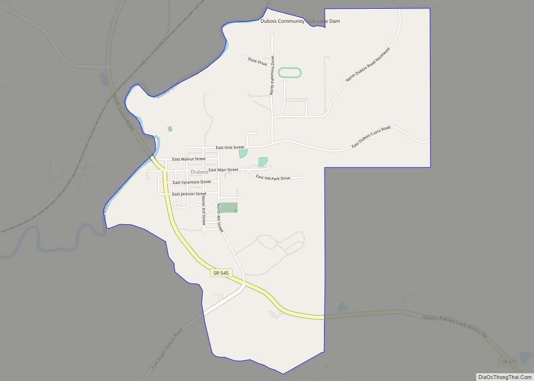
Dubois is an unincorporated community and census-designated place (CDP) in Dubois County, Indiana, United States. Its population at the 2010 census was 488.
| Name: | Dubois CDP |
|---|---|
| LSAD Code: | 57 |
| LSAD Description: | CDP (suffix) |
| State: | Indiana |
| County: | Dubois County |
| Elevation: | 584 ft (178 m) |
| Total Area: | 1.60 sq mi (4.14 km²) |
| Land Area: | 1.57 sq mi (4.07 km²) |
| Water Area: | 0.03 sq mi (0.06 km²) |
| Total Population: | 478 |
| Population Density: | 303.88/sq mi (117.36/km²) |
| ZIP code: | 47527 |
| Area code: | 812, 930 |
| FIPS code: | 1818784 |
| GNISfeature ID: | 2629882 |
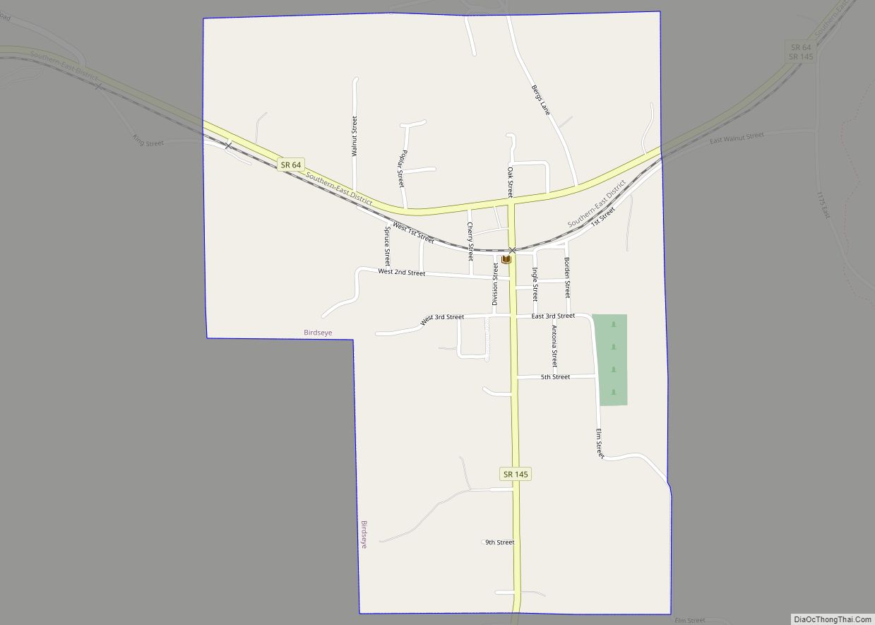
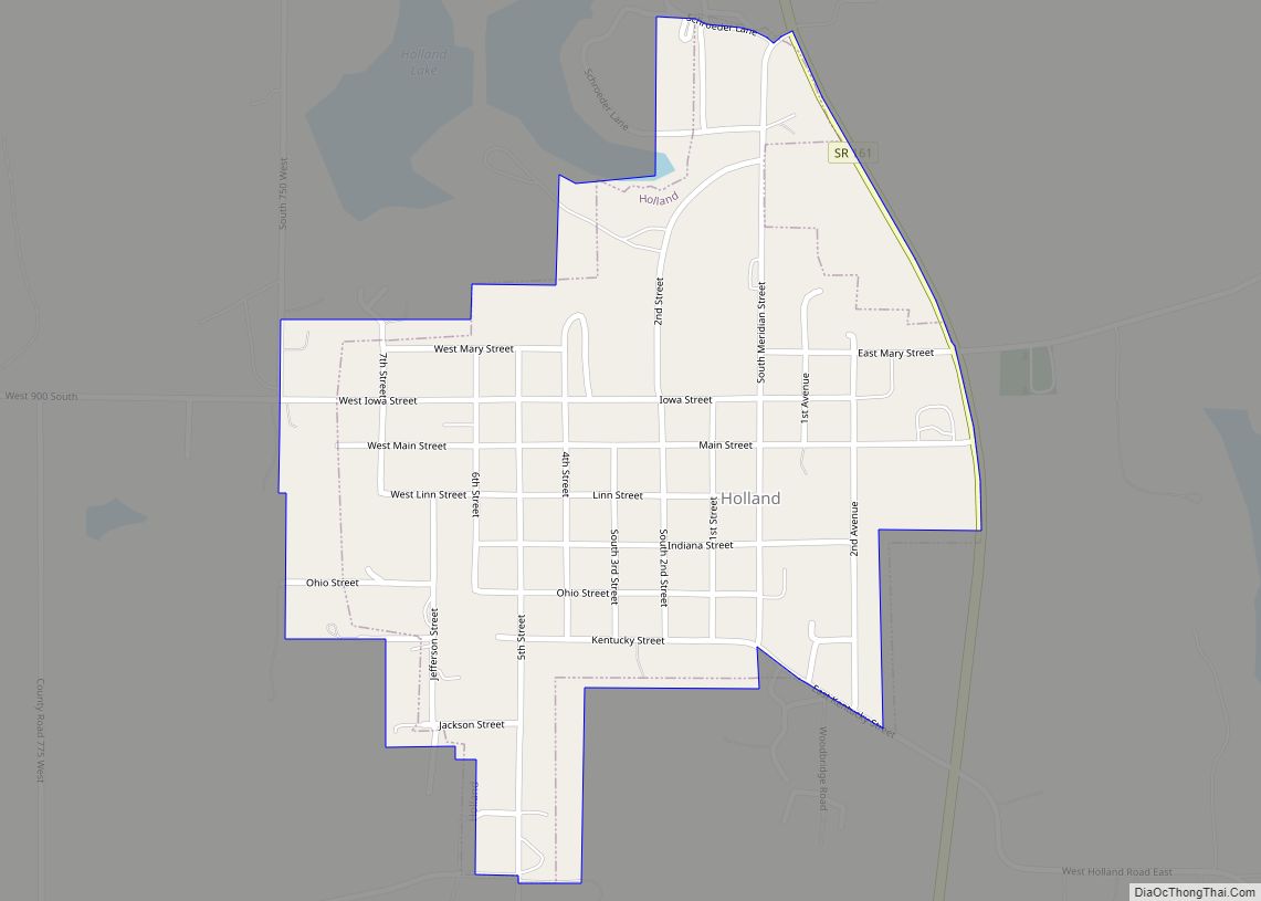
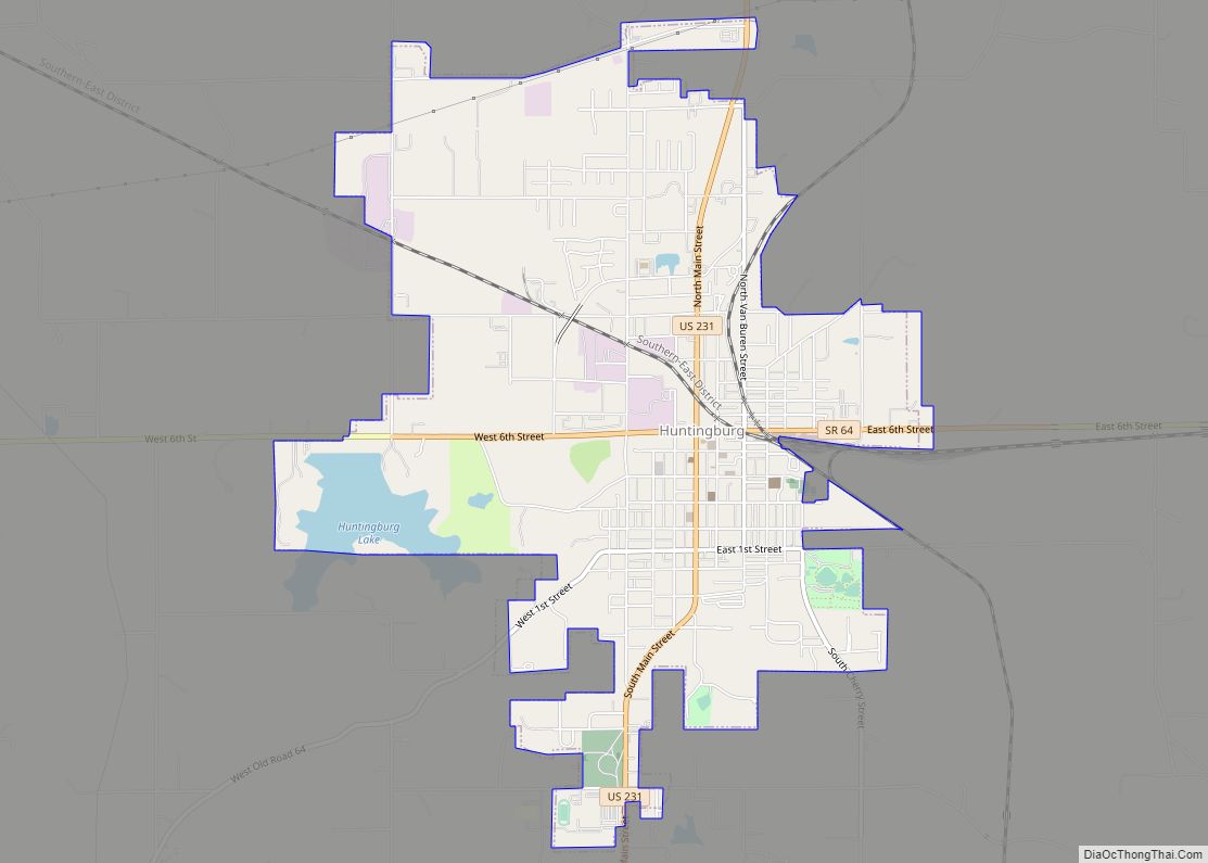
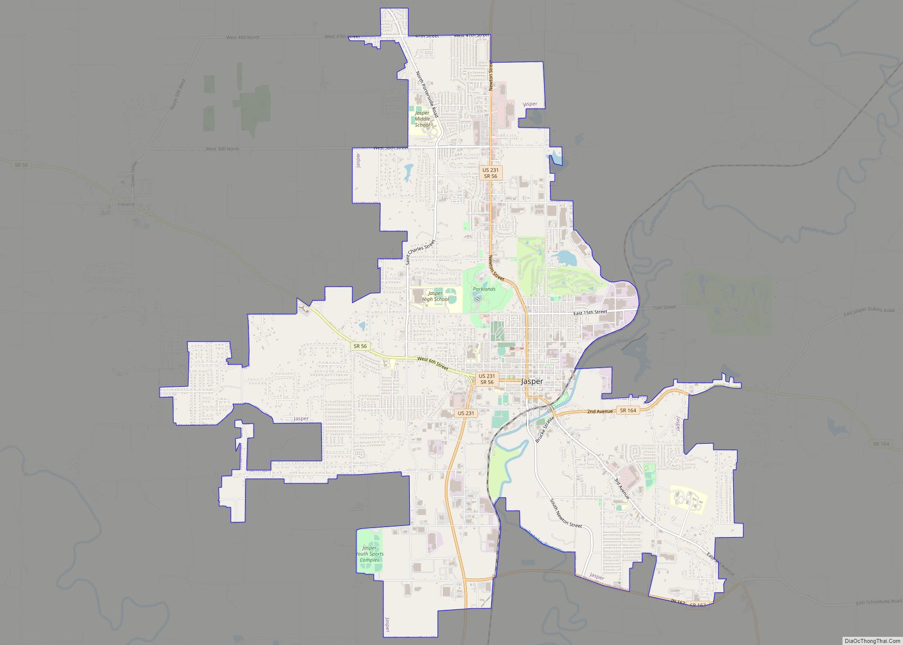
Online Interactive Map
Click on ![]() to view map in "full screen" mode.
to view map in "full screen" mode.
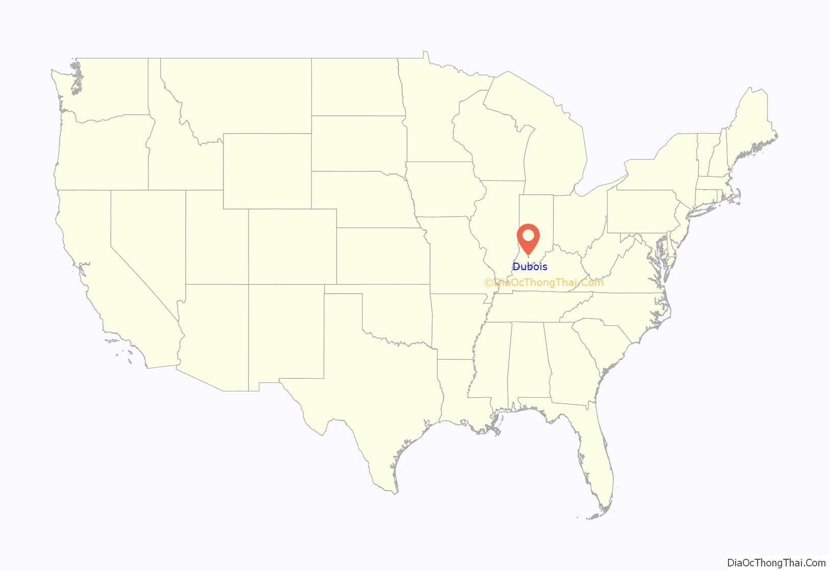
Dubois location map. Where is Dubois CDP?

History
Dubois was platted in 1885. It took its name from Dubois County. The Dubois post office was established in 1880.
An old variant name of the community was called Knoxville.
Dennis H. Heeke (1927-2009), Indiana state representative and farmer, was born in Dubois.
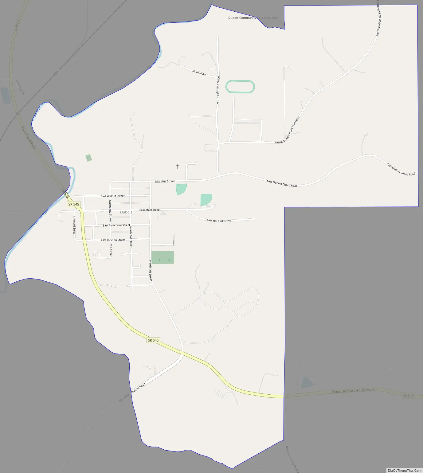
Dubois Road Map
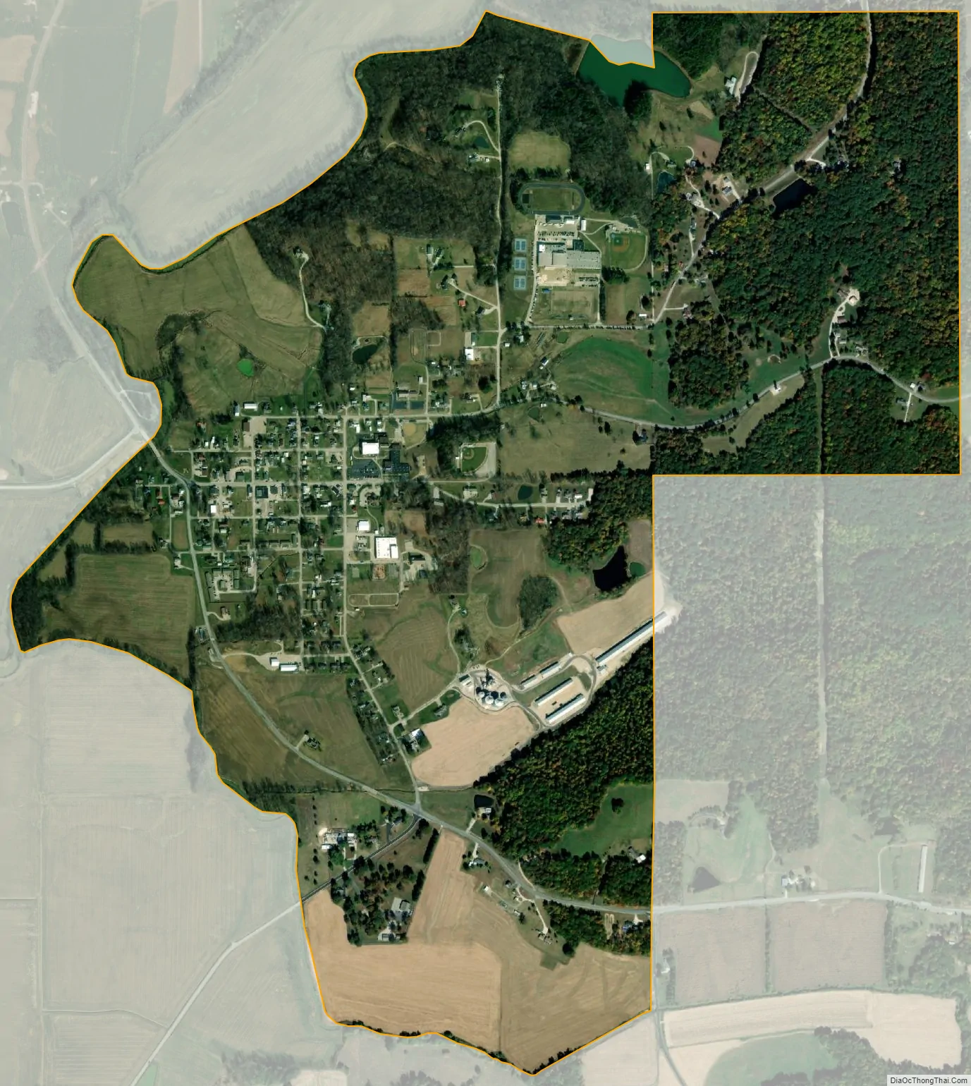
Dubois city Satellite Map
Geography
The center of the community is split between Marion and Harbison townships, and the CDP area extends eastward into Columbia Township as well. Jasper, the Dubois County seat, is 10 miles (16 km) to the southwest. Indiana State Road 545 passes through Dubois, leading north to State Road 56 and southeast towards Patoka Lake.
According to the U.S. Census Bureau, the Dubois CDP has a total area of 1.60 square miles (4.14 km), of which 1.57 square miles (4.07 km) is land and 0.02 square miles (0.06 km), or 1.55%, is water. The Patoka River, a tributary of the Wabash River, forms the northwestern edge of the community.
See also
Map of Indiana State and its subdivision:- Adams
- Allen
- Bartholomew
- Benton
- Blackford
- Boone
- Brown
- Carroll
- Cass
- Clark
- Clay
- Clinton
- Crawford
- Daviess
- De Kalb
- Dearborn
- Decatur
- Delaware
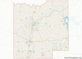
- Dubois
- Elkhart
- Fayette
- Floyd
- Fountain
- Franklin
- Fulton
- Gibson
- Grant
- Greene
- Hamilton
- Hancock
- Harrison
- Hendricks
- Henry
- Howard
- Huntington
- Jackson
- Jasper
- Jay
- Jefferson
- Jennings
- Johnson
- Knox
- Kosciusko
- LaGrange
- Lake
- Lake Michigan
- LaPorte
- Lawrence
- Madison
- Marion
- Marshall
- Martin
- Miami
- Monroe
- Montgomery
- Morgan
- Newton
- Noble
- Ohio
- Orange
- Owen
- Parke
- Perry
- Pike
- Porter
- Posey
- Pulaski
- Putnam
- Randolph
- Ripley
- Rush
- Saint Joseph
- Scott
- Shelby
- Spencer
- Starke
- Steuben
- Sullivan
- Switzerland
- Tippecanoe
- Tipton
- Union
- Vanderburgh
- Vermillion
- Vigo
- Wabash
- Warren
- Warrick
- Washington
- Wayne
- Wells
- White
- Whitley
- Alabama
- Alaska
- Arizona
- Arkansas
- California
- Colorado
- Connecticut
- Delaware
- District of Columbia
- Florida
- Georgia
- Hawaii
- Idaho
- Illinois
- Indiana
- Iowa
- Kansas
- Kentucky
- Louisiana
- Maine
- Maryland
- Massachusetts
- Michigan
- Minnesota
- Mississippi
- Missouri
- Montana
- Nebraska
- Nevada
- New Hampshire
- New Jersey
- New Mexico
- New York
- North Carolina
- North Dakota
- Ohio
- Oklahoma
- Oregon
- Pennsylvania
- Rhode Island
- South Carolina
- South Dakota
- Tennessee
- Texas
- Utah
- Vermont
- Virginia
- Washington
- West Virginia
- Wisconsin
- Wyoming