Dunkirk is a city in Blackford and Jay counties in the U.S. state of Indiana. The population was 2,164 at the 2020 census.
| Name: | Dunkirk city |
|---|---|
| LSAD Code: | 25 |
| LSAD Description: | city (suffix) |
| State: | Indiana |
| County: | Blackford County, Jay County |
| Elevation: | 945 ft (288 m) |
| Total Area: | 1.19 sq mi (3.07 km²) |
| Land Area: | 1.18 sq mi (3.04 km²) |
| Water Area: | 0.01 sq mi (0.03 km²) |
| Total Population: | 2,164 |
| Population Density: | 1,841.70/sq mi (711.12/km²) |
| ZIP code: | 47336 |
| Area code: | 765 |
| FIPS code: | 1819054 |
| GNISfeature ID: | 0433786 |
| Website: | www.cityofdunkirkin.com |
Online Interactive Map
Click on ![]() to view map in "full screen" mode.
to view map in "full screen" mode.
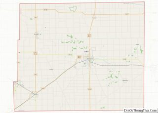
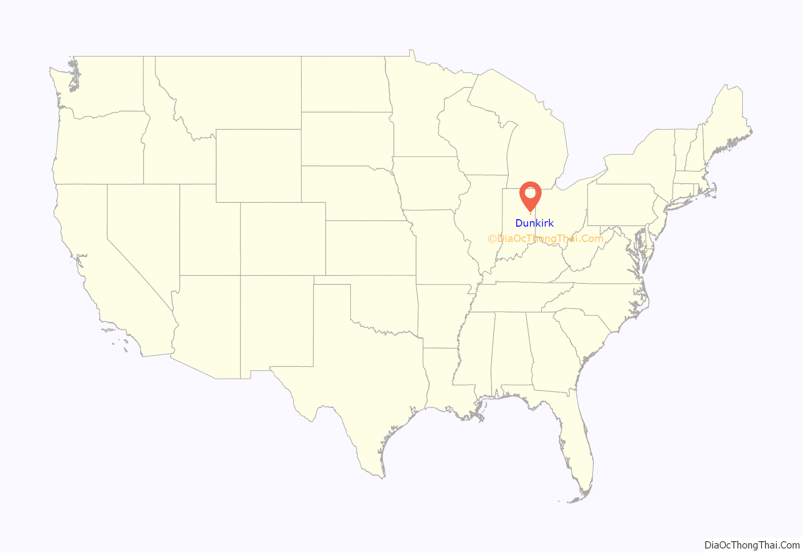
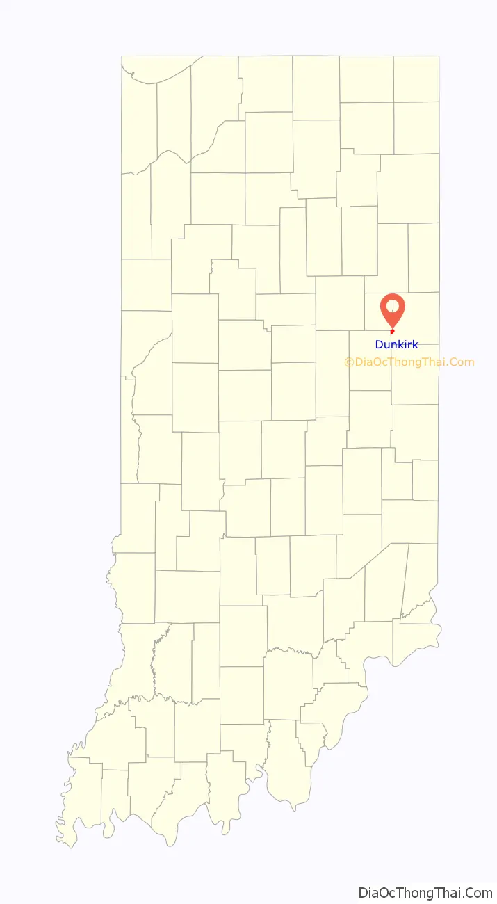
Dunkirk location map. Where is Dunkirk city?
History
Dunkirk was originally called Quincy, and under the latter name was platted in 1853. When the first post office was established there, it was discovered there was already a Quincy, Indiana, and so the town was renamed Dunkirk to avoid repetition.
The Dunkirk Post Office contains a mural, Preparations for Autumn Festival, Dunkirk, painted in 1941 by Frances Foy. Murals were produced from 1934 to 1943 in the United States through the Section of Painting and Sculpture, later called the Section of Fine Arts, of the Treasury Department.
Dunkirk, referred as the Glass Capitol of Indiana, was once home to 23 glass factories, some no larger than a house. With the closure of Indiana Glass Company, only one glass factory remains. It produces approximately 2,500,000 beer bottles per day for Budweiser. The factory is an ultra computerized modern facility employing 400 employees. Dunkirk also houses an extensive Glass Museum with glass manufactured worldwide. An annual Feel The Warmth downtown city event and a Mainstreet USA Festival. It also has a large 4 July Fireworks Display and Annual Event held at the large City Park.
Dunkirk is also home to one of the largest city parks in Jay County as well as a downtown Depot Park with Summer Concerts and Weekend Farmer Markets. The large Municipal provides 2 baseball fields, 1 large enclosed shelter house and a small open shelter building, various children related playground equipment, a basketball court, a large modern community center and a community swimming pool.
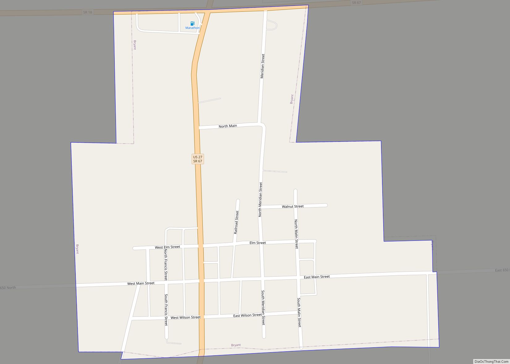
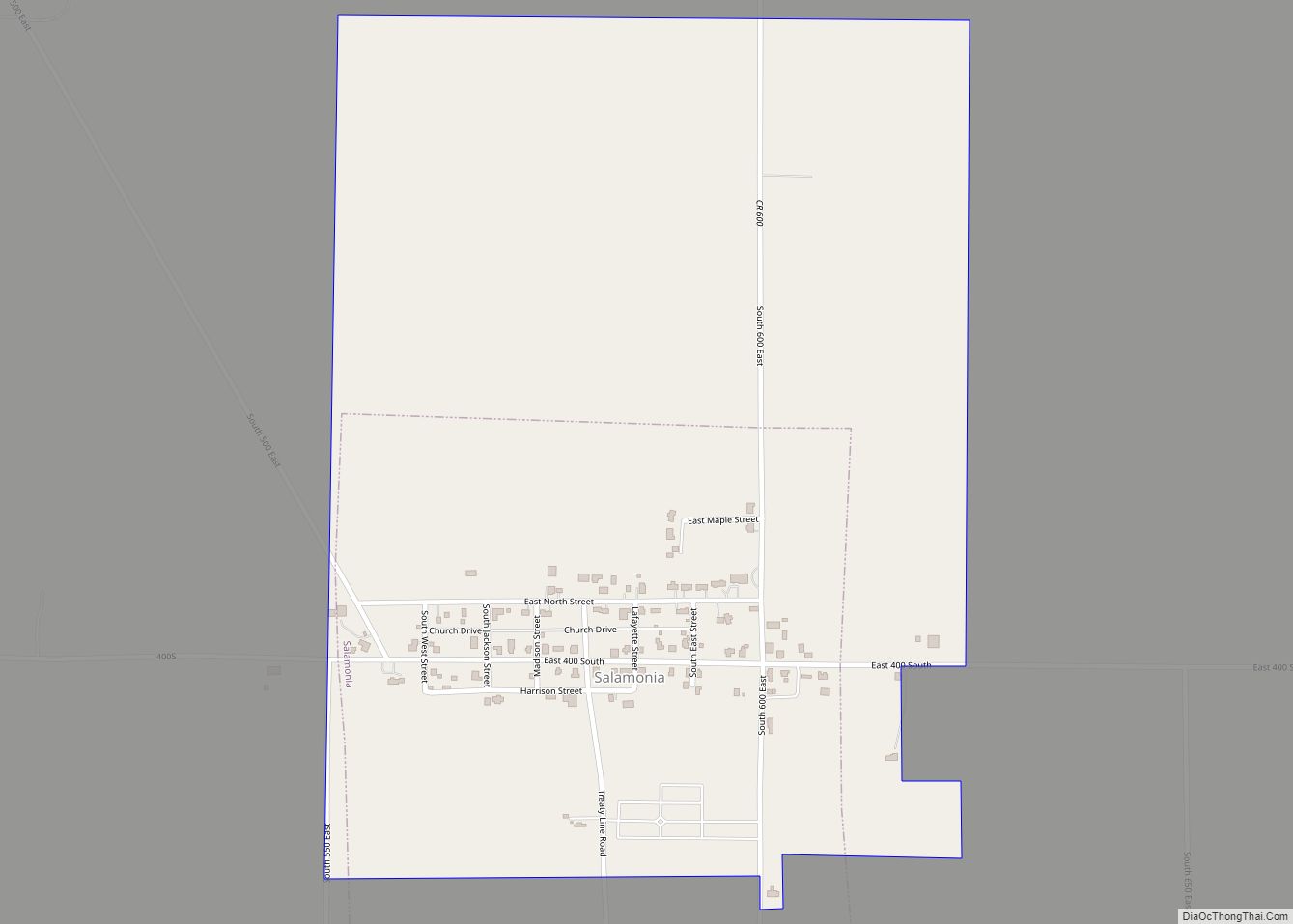
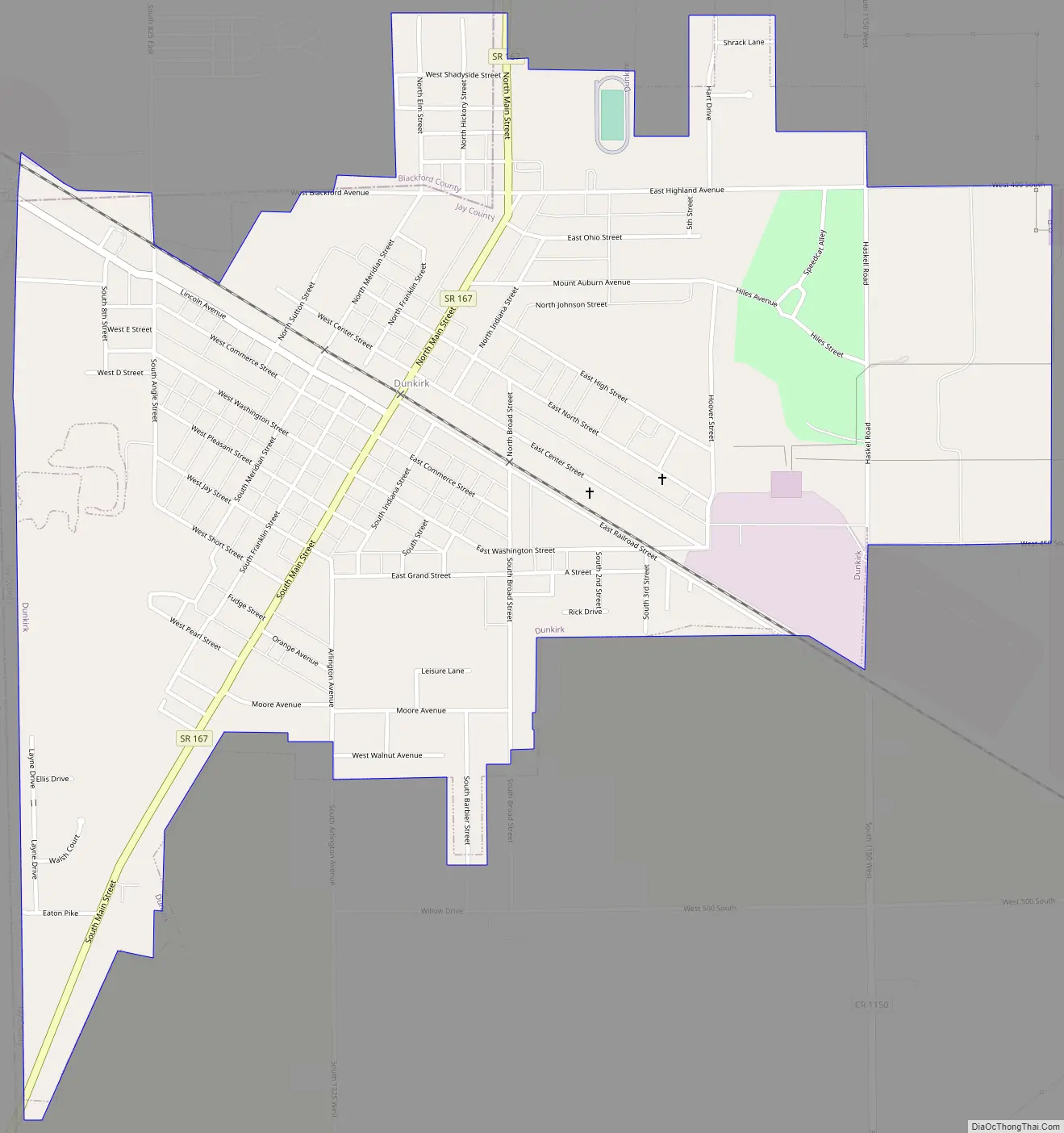
Dunkirk Road Map
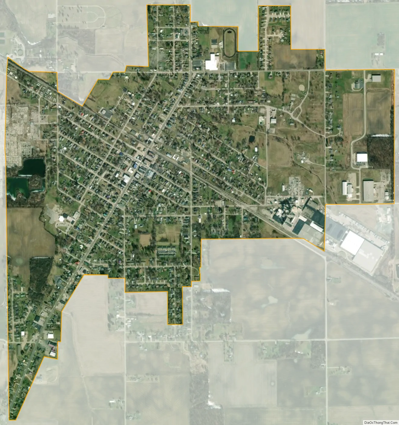
Dunkirk city Satellite Map
Geography
Dunkirk is located at 40°22′28″N 85°12′35″W / 40.37444°N 85.20972°W / 40.37444; -85.20972 (40.37, -85.21) and is primarily in Jay County, though the northwestern portion of the town (west of Main Street and north of Blackford Avenue) lies in neighboring Blackford County. The southwestern portion of town also abuts Delaware County.
According to the 2010 census, Dunkirk has a total area of 1.26 square miles (3.26 km), all land.
Dunkirk has a typical Midwestern humid continental seasonal climate. There are four distinct seasons, with winters being cold with moderate snowfall, while summers can be warm and humid. The highest average temperature is in July at 84 °F (29 °C), while the lowest average temperature is in January at 15 °F (−9.0 °C). However, summer temperatures can top 90 °F (32 °C), and winter temperatures can drop below 0 °F (−17 °C). Average monthly precipitation ranges from about 2 to 4 inches (5 to 10 cm), with the heaviest occurring during May, June, and July. The highest recorded temperature was 110.0 °F (43.3 °C) on July 14, 1936, and the lowest recorded temperature was −40.0 °F (−31.7 °C) on January 21, 1985.
See also
Map of Indiana State and its subdivision:- Adams
- Allen
- Bartholomew
- Benton
- Blackford
- Boone
- Brown
- Carroll
- Cass
- Clark
- Clay
- Clinton
- Crawford
- Daviess
- De Kalb
- Dearborn
- Decatur
- Delaware
- Dubois
- Elkhart
- Fayette
- Floyd
- Fountain
- Franklin
- Fulton
- Gibson
- Grant
- Greene
- Hamilton
- Hancock
- Harrison
- Hendricks
- Henry
- Howard
- Huntington
- Jackson
- Jasper
- Jay
- Jefferson
- Jennings
- Johnson
- Knox
- Kosciusko
- LaGrange
- Lake
- Lake Michigan
- LaPorte
- Lawrence
- Madison
- Marion
- Marshall
- Martin
- Miami
- Monroe
- Montgomery
- Morgan
- Newton
- Noble
- Ohio
- Orange
- Owen
- Parke
- Perry
- Pike
- Porter
- Posey
- Pulaski
- Putnam
- Randolph
- Ripley
- Rush
- Saint Joseph
- Scott
- Shelby
- Spencer
- Starke
- Steuben
- Sullivan
- Switzerland
- Tippecanoe
- Tipton
- Union
- Vanderburgh
- Vermillion
- Vigo
- Wabash
- Warren
- Warrick
- Washington
- Wayne
- Wells
- White
- Whitley
- Alabama
- Alaska
- Arizona
- Arkansas
- California
- Colorado
- Connecticut
- Delaware
- District of Columbia
- Florida
- Georgia
- Hawaii
- Idaho
- Illinois
- Indiana
- Iowa
- Kansas
- Kentucky
- Louisiana
- Maine
- Maryland
- Massachusetts
- Michigan
- Minnesota
- Mississippi
- Missouri
- Montana
- Nebraska
- Nevada
- New Hampshire
- New Jersey
- New Mexico
- New York
- North Carolina
- North Dakota
- Ohio
- Oklahoma
- Oregon
- Pennsylvania
- Rhode Island
- South Carolina
- South Dakota
- Tennessee
- Texas
- Utah
- Vermont
- Virginia
- Washington
- West Virginia
- Wisconsin
- Wyoming