Dublin is a town in Jackson Township, Wayne County, in the U.S. state of Indiana. The population was 679 at the 2020 census.
| Name: | Dublin town |
|---|---|
| LSAD Code: | 43 |
| LSAD Description: | town (suffix) |
| State: | Indiana |
| County: | Wayne County |
| Elevation: | 1,053 ft (321 m) |
| Total Area: | 0.53 sq mi (1.37 km²) |
| Land Area: | 0.52 sq mi (1.34 km²) |
| Water Area: | 0.01 sq mi (0.04 km²) |
| Total Population: | 679 |
| Population Density: | 1,315.89/sq mi (508.23/km²) |
| ZIP code: | 47335 |
| Area code: | 765 |
| FIPS code: | 1818766 |
| GNISfeature ID: | 452038 |
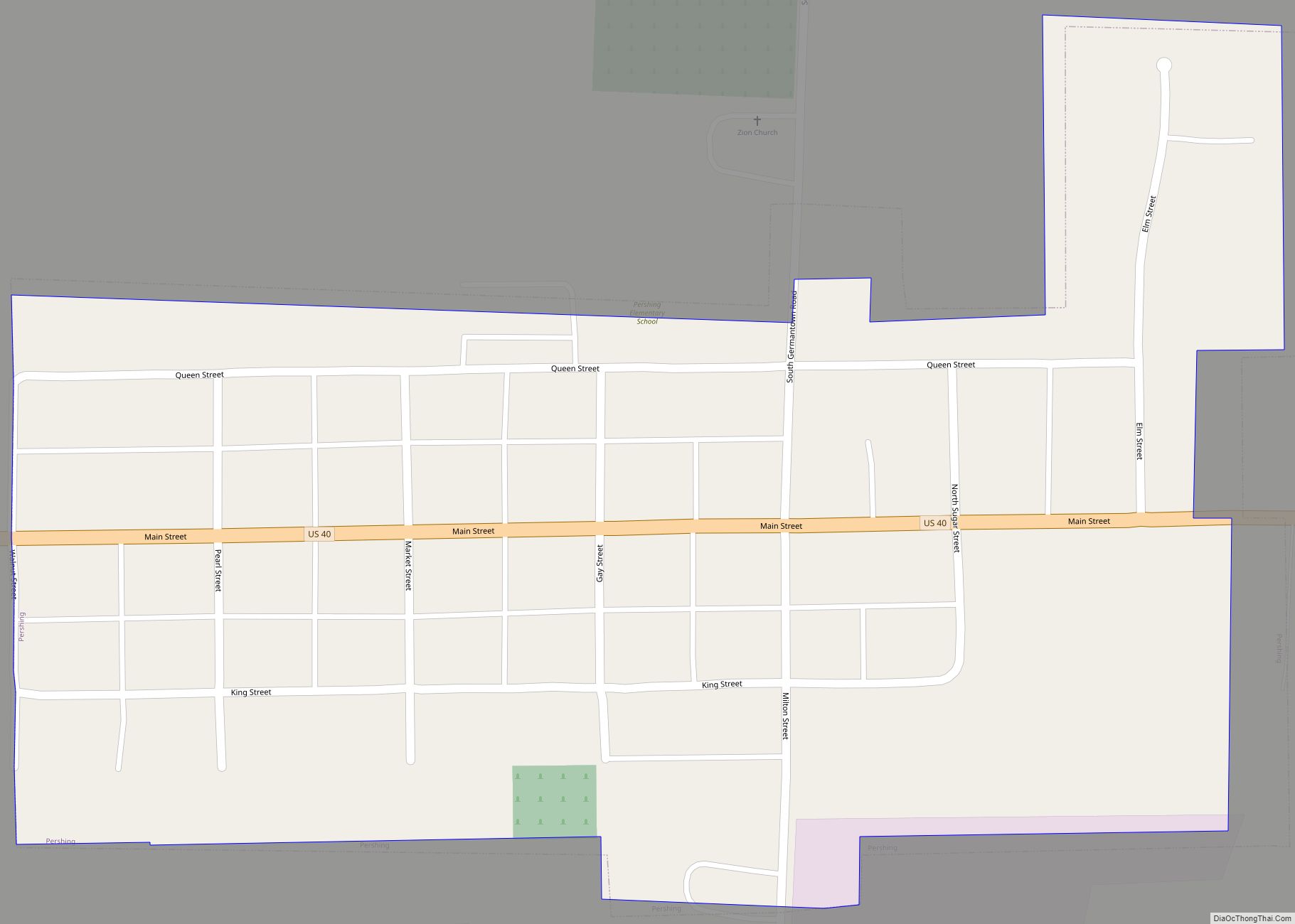
Online Interactive Map
Click on ![]() to view map in "full screen" mode.
to view map in "full screen" mode.
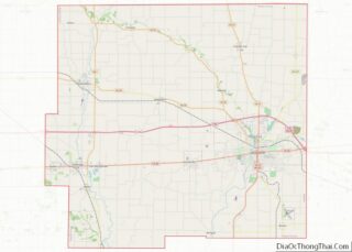
Dublin location map. Where is Dublin town?


History
Dublin was laid out and platted in 1830. It is named after the city of Dublin in Ireland. A post office has been in operation at Dublin since 1833. On October 15, 1851, the Indiana Woman’s Suffrage Association was created in Dublin. The Witt-Champe-Myers House was added to the National Register of Historic Places in 1995.
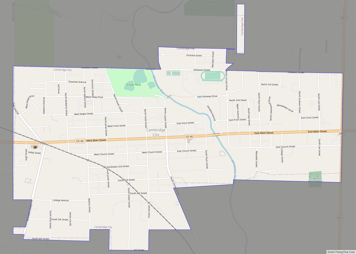
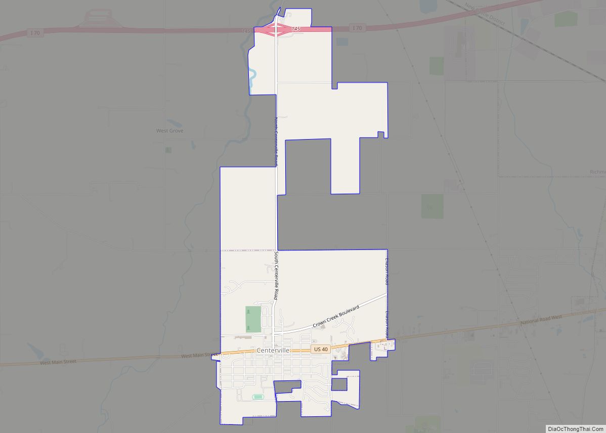
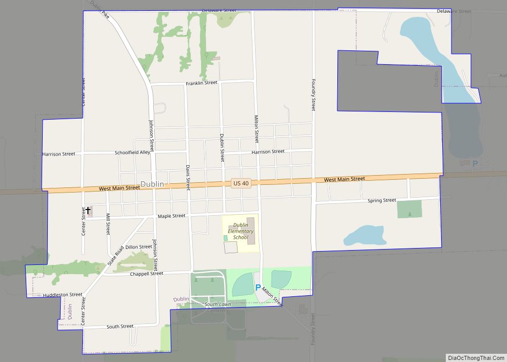
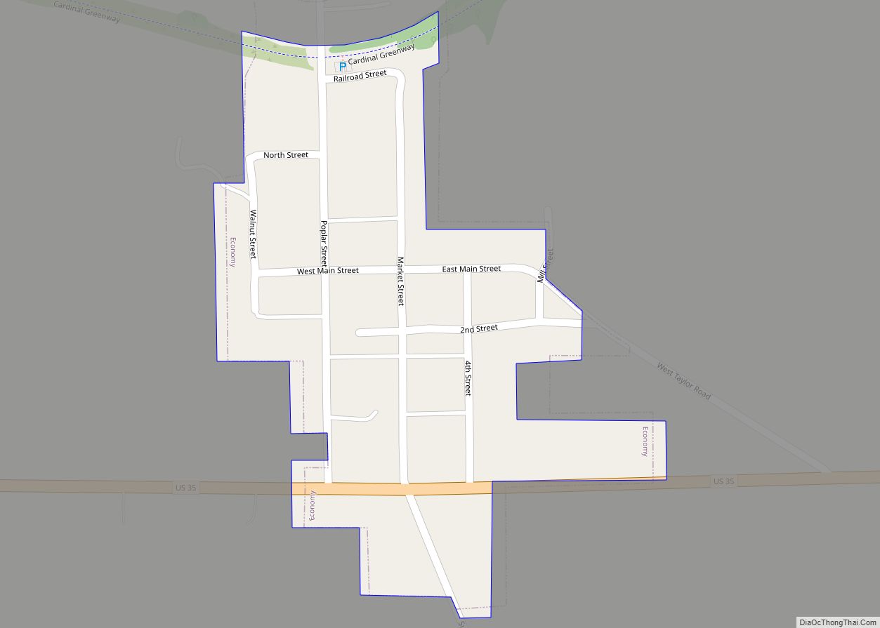
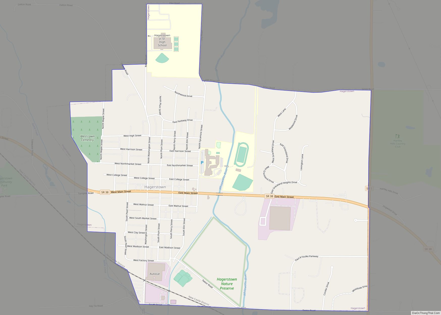
Dublin Road Map

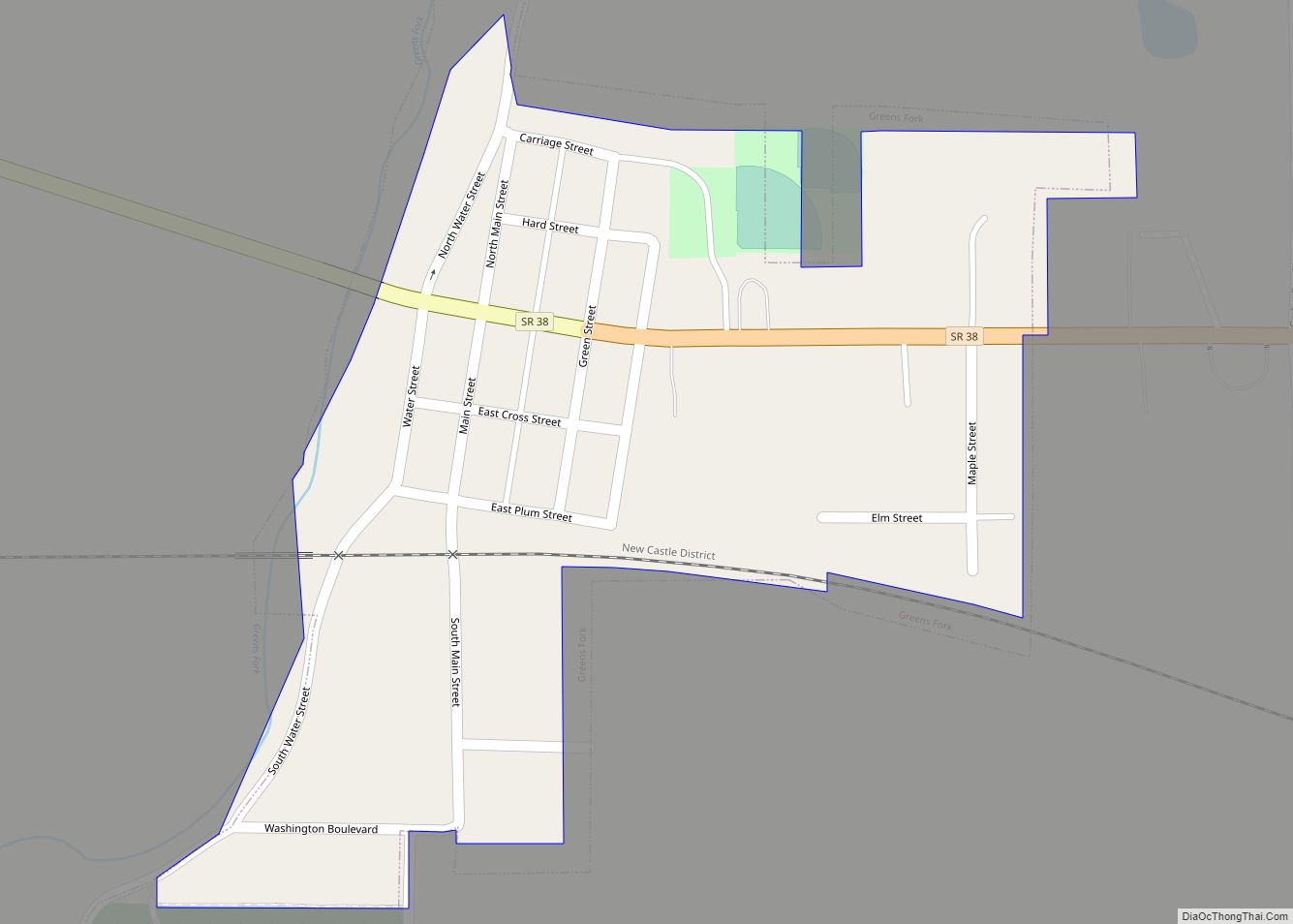
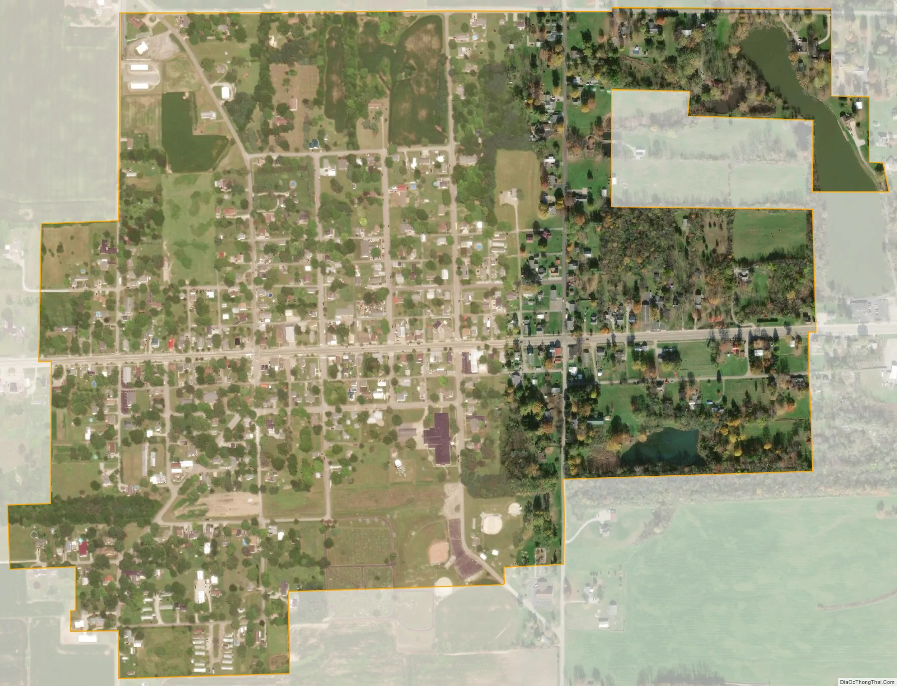
Dublin city Satellite Map
Geography
Dublin is located at 39°48′43″N 85°12′22″W / 39.81194°N 85.20611°W / 39.81194; -85.20611 (39.811806, -85.206166).
According to the 2010 census, Dublin has a total area of 0.54 square miles (1.40 km), of which 0.53 square miles (1.37 km) (or 98.15%) is land and 0.01 square miles (0.03 km) (or 1.85%) is water.
See also
Map of Indiana State and its subdivision:- Adams
- Allen
- Bartholomew
- Benton
- Blackford
- Boone
- Brown
- Carroll
- Cass
- Clark
- Clay
- Clinton
- Crawford
- Daviess
- De Kalb
- Dearborn
- Decatur
- Delaware
- Dubois
- Elkhart
- Fayette
- Floyd
- Fountain
- Franklin
- Fulton
- Gibson
- Grant
- Greene
- Hamilton
- Hancock
- Harrison
- Hendricks
- Henry
- Howard
- Huntington
- Jackson
- Jasper
- Jay
- Jefferson
- Jennings
- Johnson
- Knox
- Kosciusko
- LaGrange
- Lake
- Lake Michigan
- LaPorte
- Lawrence
- Madison
- Marion
- Marshall
- Martin
- Miami
- Monroe
- Montgomery
- Morgan
- Newton
- Noble
- Ohio
- Orange
- Owen
- Parke
- Perry
- Pike
- Porter
- Posey
- Pulaski
- Putnam
- Randolph
- Ripley
- Rush
- Saint Joseph
- Scott
- Shelby
- Spencer
- Starke
- Steuben
- Sullivan
- Switzerland
- Tippecanoe
- Tipton
- Union
- Vanderburgh
- Vermillion
- Vigo
- Wabash
- Warren
- Warrick
- Washington
- Wayne
- Wells
- White
- Whitley
- Alabama
- Alaska
- Arizona
- Arkansas
- California
- Colorado
- Connecticut
- Delaware
- District of Columbia
- Florida
- Georgia
- Hawaii
- Idaho
- Illinois
- Indiana
- Iowa
- Kansas
- Kentucky
- Louisiana
- Maine
- Maryland
- Massachusetts
- Michigan
- Minnesota
- Mississippi
- Missouri
- Montana
- Nebraska
- Nevada
- New Hampshire
- New Jersey
- New Mexico
- New York
- North Carolina
- North Dakota
- Ohio
- Oklahoma
- Oregon
- Pennsylvania
- Rhode Island
- South Carolina
- South Dakota
- Tennessee
- Texas
- Utah
- Vermont
- Virginia
- Washington
- West Virginia
- Wisconsin
- Wyoming