Map of Hiawatha city, Kansas
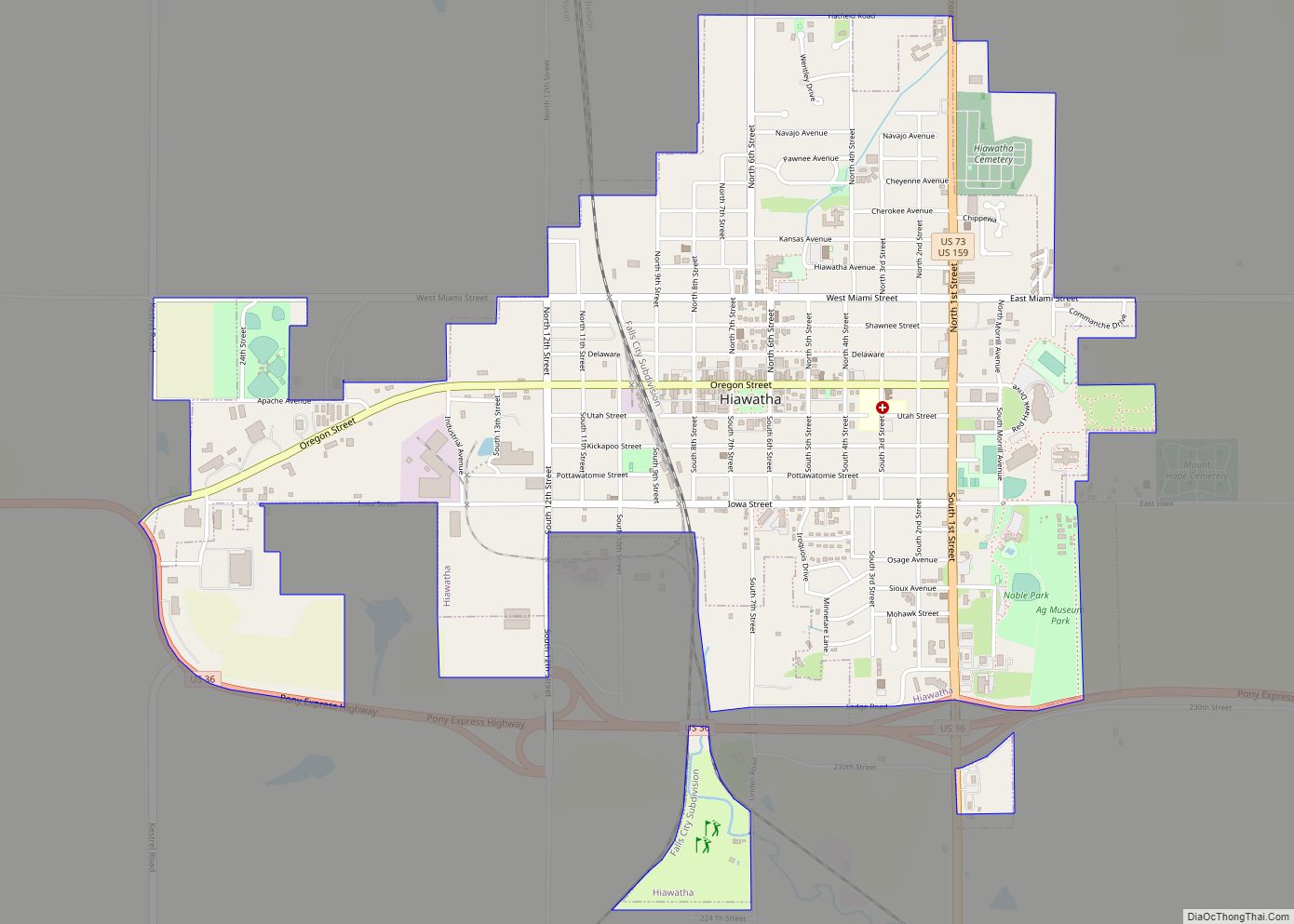
Hiawatha (Ioway: Hári Wáta pronounced [haːꜜɾi waːꜜtʰɐ]) is the largest city and county seat of Brown County, Kansas, United States. As of the 2020 census, the population of the city was 3,280. Hiawatha city overview: Name: Hiawatha city LSAD Code: 25 LSAD Description: city (suffix) State: Kansas County: Brown County Founded: 1857 Incorporated: 1857 Elevation: ... Read more
Map of Hiawatha city, Kansas
Map of Hesston city
Hesston is a city in Harvey County, Kansas, United States. As of the 2020 census, the population of the city was 3,505. Large manufacturing facilities for AGCO (farm equipment) and Excel Industries (lawn mowers) are located in Hesston. It is home of Hesston College. Hesston city overview: Name: Hesston city LSAD Code: 25 LSAD Description: ... Read more
Map of Hesston city
Map of Herndon city, Kansas
Herndon is a city in Rawlins County, Kansas, United States. As of the 2020 census, the population of the city was 119. It is located approximately 12.5 miles (20.1 km) south of the Kansas-Nebraska state border. Herndon city overview: Name: Herndon city LSAD Code: 25 LSAD Description: city (suffix) State: Kansas County: Rawlins County Founded: 1878 ... Read more
Map of Herndon city, Kansas
Map of Hillsboro city, Kansas
Hillsboro is a city in Marion County, Kansas, United States. Hillsboro was named after John Gillespie Hill, who homesteaded in the area in 1871. As of the 2020 census, the population of the city was 2,732. Hillsboro is home of Tabor College, which had 766 students enrolled in Fall 2014. Hillsboro city overview: Name: Hillsboro ... Read more
Map of Hillsboro city, Kansas
Map of Hill City, Kansas
Hill City is a city and county seat of Graham County, Kansas, United States. As of the 2020 census, the population of the city was 1,403. Hill City city overview: Name: Hill City city LSAD Code: 25 LSAD Description: city (suffix) State: Kansas County: Graham County Founded: 1876 Incorporated: 1888 Elevation: 2,185 ft (666 m) Total Area: ... Read more
Map of Hill City, Kansas
Map of Highland city, Kansas
Highland is a city in Doniphan County, Kansas, United States. As of the 2020 census, the population of the city was 903. It is home to Highland Community College. Highland city overview: Name: Highland city LSAD Code: 25 LSAD Description: city (suffix) State: Kansas County: Doniphan County Founded: 1854 Incorporated: 1857 Elevation: 1,050 ft (320 m) Total ... Read more
Map of Highland city, Kansas
Map of Holcomb city, Kansas
Holcomb is a city in Finney County, Kansas, United States. As of the 2020 census, the population of the city was 2,245. Holcomb city overview: Name: Holcomb city LSAD Code: 25 LSAD Description: city (suffix) State: Kansas County: Finney County Founded: 1900s Incorporated: 1961 Elevation: 2,884 ft (879 m) Total Area: 1.24 sq mi (3.20 km²) Land Area: 1.24 sq mi (3.20 km²) ... Read more
Map of Holcomb city, Kansas
Map of Hoisington city
Hoisington is a city in Barton County, Kansas, United States. As of the 2020 census, the population of the city was 2,699. Hoisington city overview: Name: Hoisington city LSAD Code: 25 LSAD Description: city (suffix) State: Kansas County: Barton County Founded: 1886 Incorporated: 1887 Elevation: 1,844 ft (562 m) Total Area: 1.16 sq mi (3.00 km²) Land Area: 1.16 sq mi (3.00 km²) ... Read more
Map of Hoisington city
Map of Hillsdale CDP, Kansas
Hillsdale is an unincorporated community in Miami County, Kansas, United States. As of the 2020 census, the population of the community and nearby areas was 247. Hillsdale is located near U.S. Route 169 and K-7 6 miles (9.7 km) north-northeast of Paola. It is part of the Kansas City metropolitan area. Hillsdale CDP overview: Name: Hillsdale ... Read more
Map of Hillsdale CDP, Kansas
Map of Holyrood city
Holyrood is a city in Ellsworth County, Kansas, United States. As of the 2020 census, the population of the city was 403. Holyrood city overview: Name: Holyrood city LSAD Code: 25 LSAD Description: city (suffix) State: Kansas County: Ellsworth County Founded: 1874 Incorporated: 1901 Elevation: 1,808 ft (551 m) Total Area: 0.44 sq mi (1.13 km²) Land Area: 0.43 sq mi (1.11 km²) ... Read more
Map of Holyrood city
Map of Holton city, Kansas
Holton is a city in and the county seat of Jackson County, Kansas, United States. As of the 2020 census, the population of the city was 3,401. Holton city overview: Name: Holton city LSAD Code: 25 LSAD Description: city (suffix) State: Kansas County: Jackson County Founded: 1856 Incorporated: 1859 Elevation: 1,096 ft (334 m) Total Area: 2.76 sq mi ... Read more
Map of Holton city, Kansas
Map of Hollenberg city
Hollenberg is a city in Washington County, Kansas, United States. As of the 2020 census, the population of the city was 10. It is located 1.5 miles south of the Nebraska state line. Hollenberg city overview: Name: Hollenberg city LSAD Code: 25 LSAD Description: city (suffix) State: Kansas County: Washington County Founded: 1872 Incorporated: 1937 ... Read more
Map of Hollenberg city