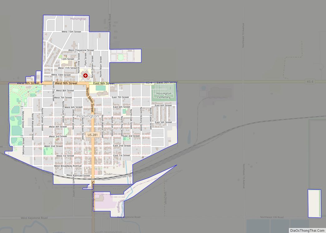
Hoisington is a city in Barton County, Kansas, United States. As of the 2020 census, the population of the city was 2,699.
| Name: | Hoisington city |
|---|---|
| LSAD Code: | 25 |
| LSAD Description: | city (suffix) |
| State: | Kansas |
| County: | Barton County |
| Founded: | 1886 |
| Incorporated: | 1887 |
| Elevation: | 1,844 ft (562 m) |
| Total Area: | 1.16 sq mi (3.00 km²) |
| Land Area: | 1.16 sq mi (3.00 km²) |
| Water Area: | 0.00 sq mi (0.00 km²) |
| Total Population: | 2,699 |
| Population Density: | 2,300/sq mi (900/km²) |
| ZIP code: | 67544 |
| Area code: | 620 |
| FIPS code: | 2032550 |
| Website: | hoisingtonks.org |
Online Interactive Map
Click on ![]() to view map in "full screen" mode.
to view map in "full screen" mode.
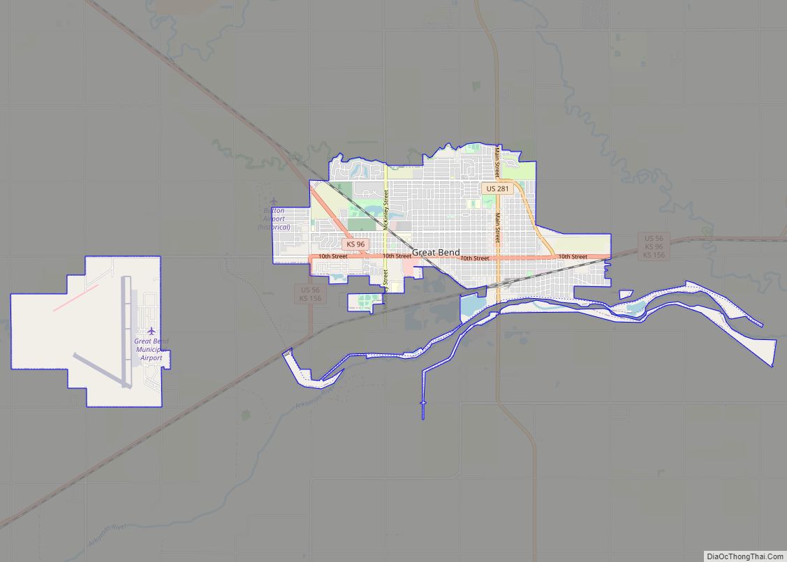
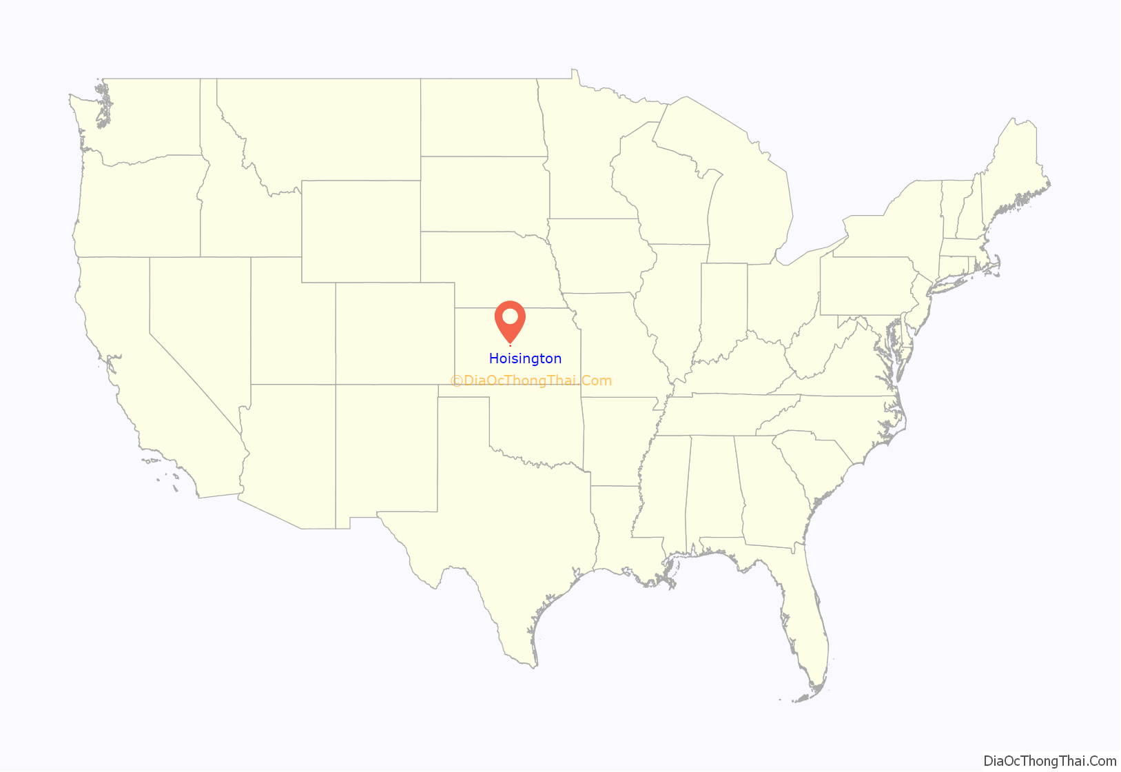
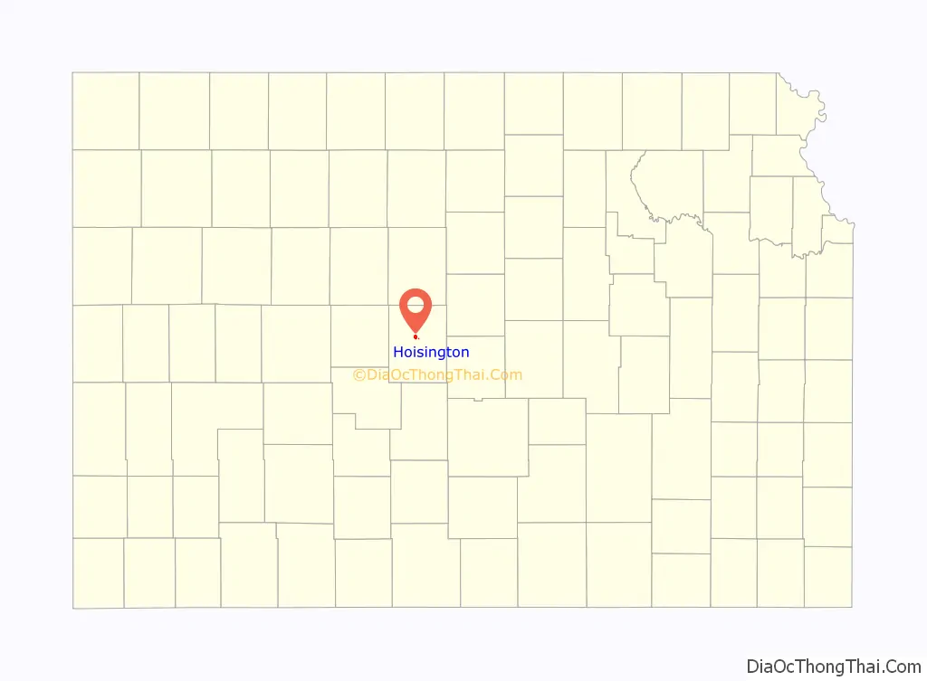
Hoisington location map. Where is Hoisington city?
History
In 1886, a group of Barton County businessmen formed the Central Kansas Town Company and founded the town of Hoisington to attract the Kansas and Colorado Railroad to the area. They named the settlement after Andrew J. Hoisington, one of the company partners and a prominent businessman in nearby Great Bend. The railroad reached Hoisington in the fall of 1886, and the settlement was incorporated as a city in 1887. The post office, relocated from nearby Buena Vista, was renamed Hoisington in April 1887 as was the railroad station, originally named Monon, by 1889.
Hoisington modernized and grew steadily over the following decades. The city’s first power plant opened in 1903, and a city water system was completed in 1904. The railroad, known by that point as the Missouri Pacific, continued to play a central role in the city’s development, employing 1,600 local men by 1911. Hoisington became a major freight and passenger operating division, complete with a roundhouse and shops. Electric street lights were installed in 1915, and the first streets were paved in 1917. The discovery of natural gas in the area in 1929, followed by the discovery of oil in the area in the 1930s, diversified and further stimulated the local economy.
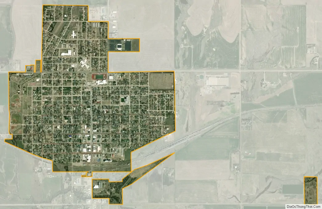
On April 21, 2001, Hoisington suffered a large scale disaster, when an F4 tornado ripped through the city, destroying 5 miles with a path width of 3/8 of a mile. It came from the southwest corner and travelled almost straight into the middle of the city. One fatality was reported, as well as 28 injuries (2 critical). 200 homes and 12 businesses were destroyed and 85 homes were severely damaged; an additional 200 homes received minor to moderate damage. The city’s population and commerce recovered quickly. Today the tornado’s path can still be seen from the air due to the lack of trees, some empty lots, and the newer houses, which are larger and more spaced out than the older ones.
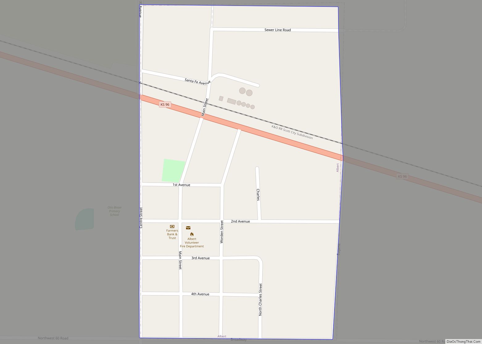
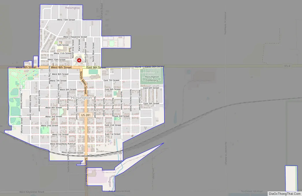
Hoisington Road Map
Hoisington city Satellite Map
Geography
Hoisington is located at 38°31′2″N 98°46′42″W / 38.51722°N 98.77833°W / 38.51722; -98.77833 (38.517301, -98.778422) at an elevation of 1,844 feet (562 m). It lies on the southern edge of the Smoky Hills region of the Great Plains. Blood Creek, which flows east into nearby Cheyenne Bottoms, passes immediately south of the city. Central Hoisington lies 5.5 miles (8.9 km) by road northwest of Cheyenne Bottoms. Situated at the intersection of U.S. Route 281 and K-4 in central Kansas, Hoisington is roughly 15 miles (24 km) north of Great Bend, the county seat, 105 miles (169 km) northwest of Wichita, and 234 miles (377 km) west-southwest of Kansas City. The city sits astride the line between North and South Homestead Townships.
According to the United States Census Bureau, the city has a total area of 1.15 square miles (2.98 km), all of it land.
See also
Map of Kansas State and its subdivision:- Allen
- Anderson
- Atchison
- Barber
- Barton
- Bourbon
- Brown
- Butler
- Chase
- Chautauqua
- Cherokee
- Cheyenne
- Clark
- Clay
- Cloud
- Coffey
- Comanche
- Cowley
- Crawford
- Decatur
- Dickinson
- Doniphan
- Douglas
- Edwards
- Elk
- Ellis
- Ellsworth
- Finney
- Ford
- Franklin
- Geary
- Gove
- Graham
- Grant
- Gray
- Greeley
- Greenwood
- Hamilton
- Harper
- Harvey
- Haskell
- Hodgeman
- Jackson
- Jefferson
- Jewell
- Johnson
- Kearny
- Kingman
- Kiowa
- Labette
- Lane
- Leavenworth
- Lincoln
- Linn
- Logan
- Lyon
- Marion
- Marshall
- McPherson
- Meade
- Miami
- Mitchell
- Montgomery
- Morris
- Morton
- Nemaha
- Neosho
- Ness
- Norton
- Osage
- Osborne
- Ottawa
- Pawnee
- Phillips
- Pottawatomie
- Pratt
- Rawlins
- Reno
- Republic
- Rice
- Riley
- Rooks
- Rush
- Russell
- Saline
- Scott
- Sedgwick
- Seward
- Shawnee
- Sheridan
- Sherman
- Smith
- Stafford
- Stanton
- Stevens
- Sumner
- Thomas
- Trego
- Wabaunsee
- Wallace
- Washington
- Wichita
- Wilson
- Woodson
- Wyandotte
- Alabama
- Alaska
- Arizona
- Arkansas
- California
- Colorado
- Connecticut
- Delaware
- District of Columbia
- Florida
- Georgia
- Hawaii
- Idaho
- Illinois
- Indiana
- Iowa
- Kansas
- Kentucky
- Louisiana
- Maine
- Maryland
- Massachusetts
- Michigan
- Minnesota
- Mississippi
- Missouri
- Montana
- Nebraska
- Nevada
- New Hampshire
- New Jersey
- New Mexico
- New York
- North Carolina
- North Dakota
- Ohio
- Oklahoma
- Oregon
- Pennsylvania
- Rhode Island
- South Carolina
- South Dakota
- Tennessee
- Texas
- Utah
- Vermont
- Virginia
- Washington
- West Virginia
- Wisconsin
- Wyoming