Hiawatha (Ioway: Hári Wáta pronounced [haːꜜɾi waːꜜtʰɐ]) is the largest city and county seat of Brown County, Kansas, United States. As of the 2020 census, the population of the city was 3,280.
| Name: | Hiawatha city |
|---|---|
| LSAD Code: | 25 |
| LSAD Description: | city (suffix) |
| State: | Kansas |
| County: | Brown County |
| Founded: | 1857 |
| Incorporated: | 1857 |
| Elevation: | 1,135 ft (346 m) |
| Total Area: | 2.59 sq mi (6.71 km²) |
| Land Area: | 2.59 sq mi (6.71 km²) |
| Water Area: | 0.00 sq mi (0.00 km²) |
| Total Population: | 3,280 |
| Population Density: | 1,300/sq mi (490/km²) |
| ZIP code: | 66434 |
| Area code: | 785 |
| FIPS code: | 2031675 |
| Website: | cityofhiawatha.org |
Online Interactive Map
Click on ![]() to view map in "full screen" mode.
to view map in "full screen" mode.
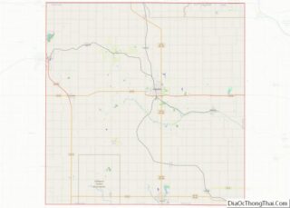
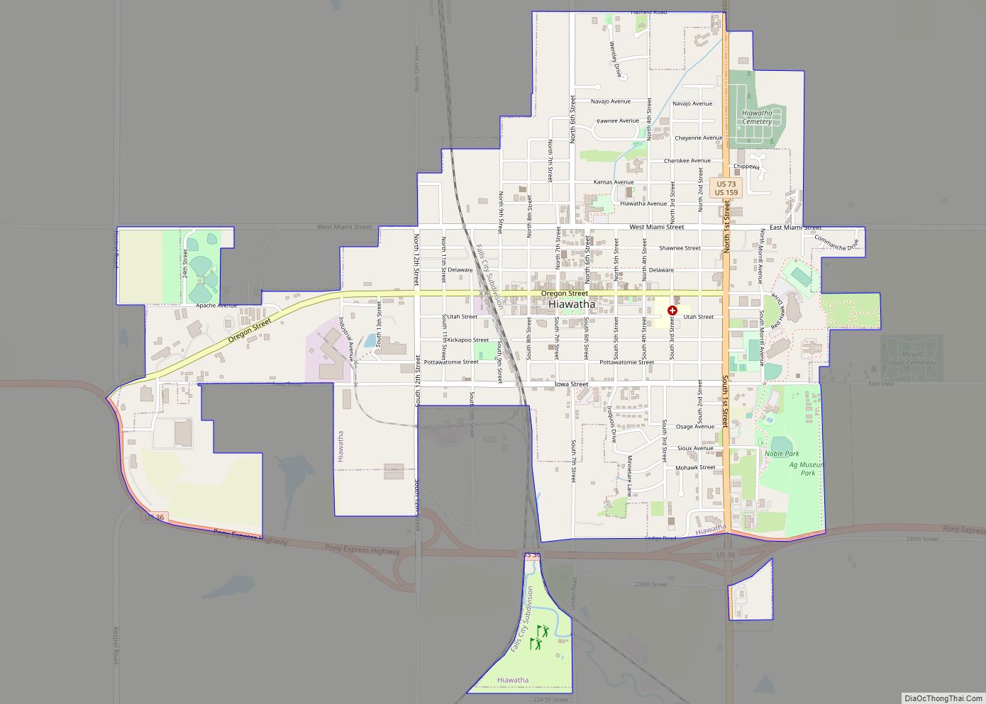
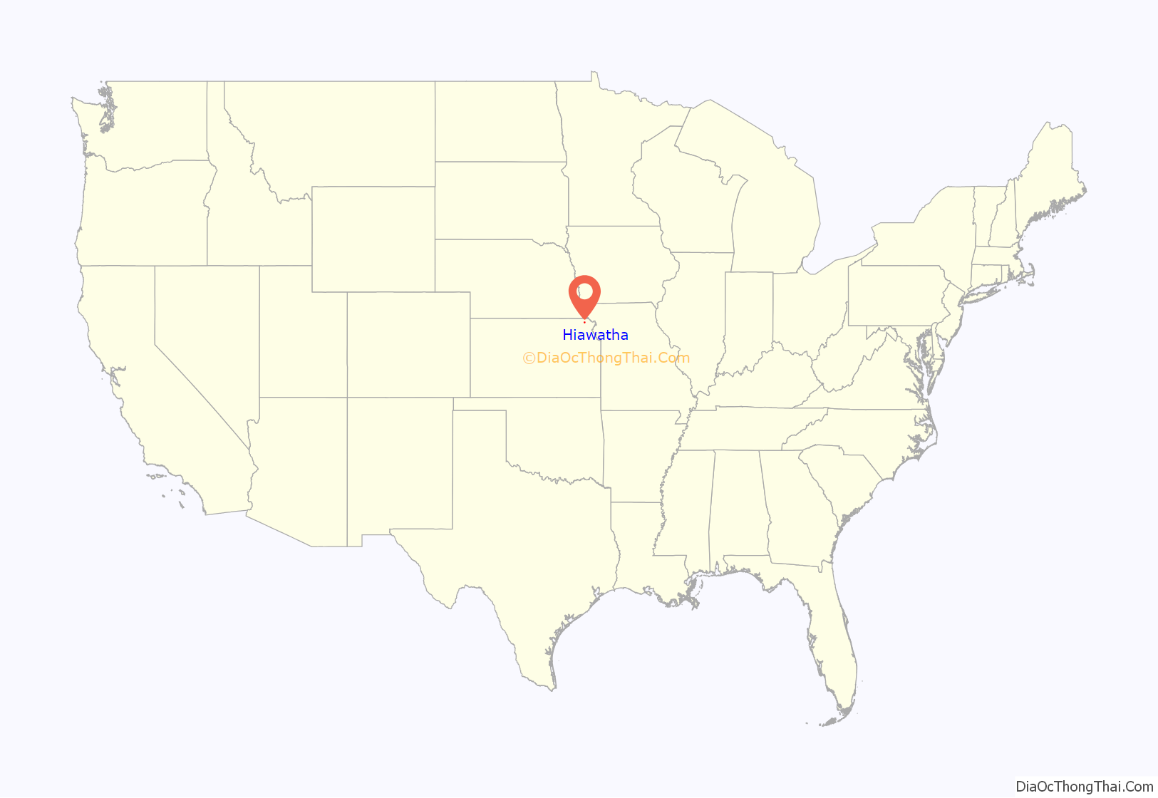
Hiawatha location map. Where is Hiawatha city?

History
Etymology
B.L. Rider reportedly was responsible for naming Hiawatha, taking the young Indian’s name from Henry Wadsworth Longfellow’s poem, The Song of Hiawatha. In the poem is legendary Onondaga and Mohawk Indian leader Hiawatha. Adjacent to the former Ioway-Sac reservation and the present-day Ioway Tribe of Kansas and Nebraska, Hiawatha is called Hári Wáta in Ioway, meaning “I am looking far away”.
19th century
Hiawatha was founded in 1857, making it one of the oldest towns in the state. John M. Coe, John P. Wheller, and Thomas J. Drummond were instrumental in organizing the city, and the site was staked out February 17, 1857. Hiawatha became the Brown County Seat in 1858, and the first school opened in 1870.
The main street was designated Oregon Street after the Oregon Trail. Parallel streets north of it were named after Indian tribes north of the Trail, and streets south carried tribal names of those south of the Trail.
20th century
The city is home to the longest running continuous Halloween parade in the nation, starting in 1914.
According to The New York Times in 2012, “the cartoonist Bob Montana inked the original likenesses of Archie and his pals and plopped them in an idyllic Midwestern community named Riverdale because Mr. [John] Goldwater, a New Yorker, had fond memories of time spent in Hiawatha” Goldwater had hitchhiked to the community at the age of 17 and started working at the Hiawatha Daily World.
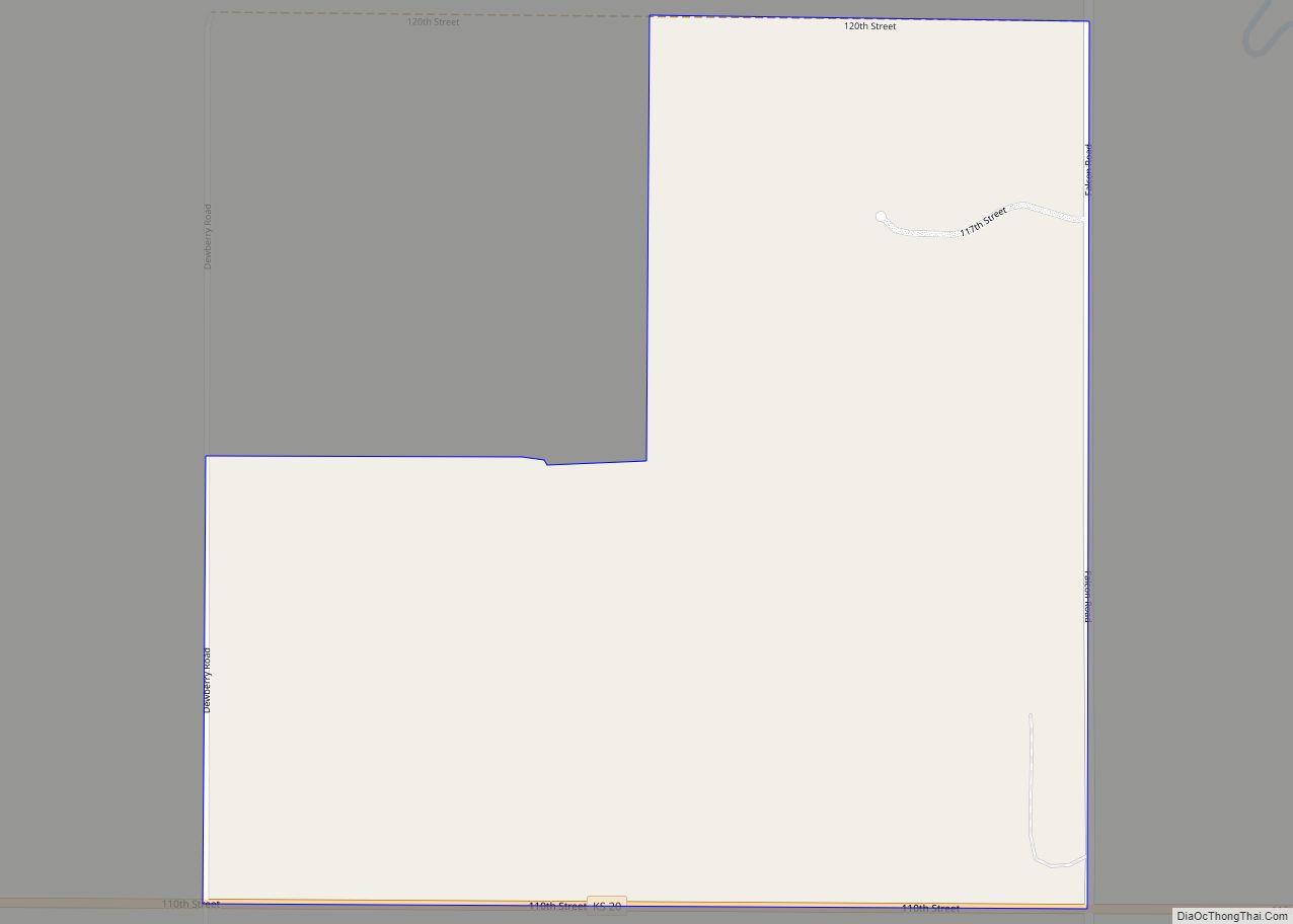
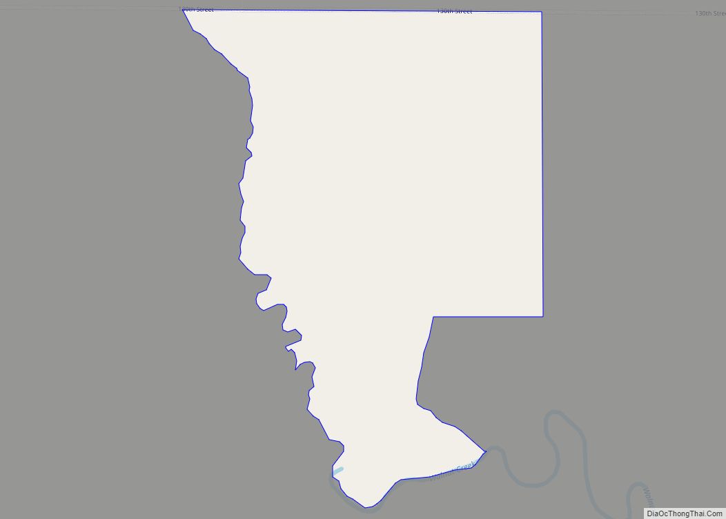
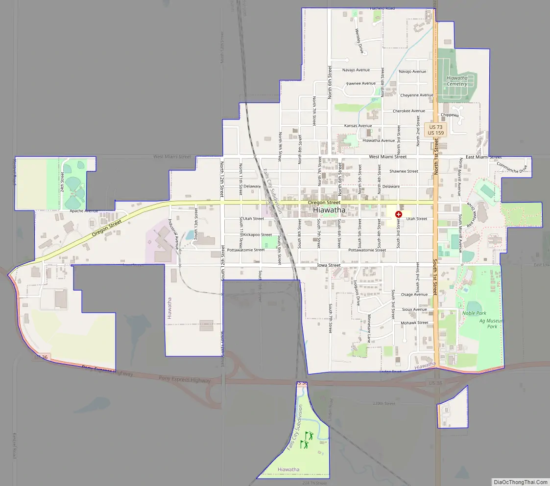
Hiawatha Road Map
Hiawatha city Satellite Map

Geography
Hiawatha is located at 39°51′9″N 95°32′11″W / 39.85250°N 95.53639°W / 39.85250; -95.53639 (39.852530, -95.536429). According to the United States Census Bureau, the city has a total area of 2.59 square miles (6.71 km), all land.
See also
Map of Kansas State and its subdivision:- Allen
- Anderson
- Atchison
- Barber
- Barton
- Bourbon
- Brown
- Butler
- Chase
- Chautauqua
- Cherokee
- Cheyenne
- Clark
- Clay
- Cloud
- Coffey
- Comanche
- Cowley
- Crawford
- Decatur
- Dickinson
- Doniphan
- Douglas
- Edwards
- Elk
- Ellis
- Ellsworth
- Finney
- Ford
- Franklin
- Geary
- Gove
- Graham
- Grant
- Gray
- Greeley
- Greenwood
- Hamilton
- Harper
- Harvey
- Haskell
- Hodgeman
- Jackson
- Jefferson
- Jewell
- Johnson
- Kearny
- Kingman
- Kiowa
- Labette
- Lane
- Leavenworth
- Lincoln
- Linn
- Logan
- Lyon
- Marion
- Marshall
- McPherson
- Meade
- Miami
- Mitchell
- Montgomery
- Morris
- Morton
- Nemaha
- Neosho
- Ness
- Norton
- Osage
- Osborne
- Ottawa
- Pawnee
- Phillips
- Pottawatomie
- Pratt
- Rawlins
- Reno
- Republic
- Rice
- Riley
- Rooks
- Rush
- Russell
- Saline
- Scott
- Sedgwick
- Seward
- Shawnee
- Sheridan
- Sherman
- Smith
- Stafford
- Stanton
- Stevens
- Sumner
- Thomas
- Trego
- Wabaunsee
- Wallace
- Washington
- Wichita
- Wilson
- Woodson
- Wyandotte
- Alabama
- Alaska
- Arizona
- Arkansas
- California
- Colorado
- Connecticut
- Delaware
- District of Columbia
- Florida
- Georgia
- Hawaii
- Idaho
- Illinois
- Indiana
- Iowa
- Kansas
- Kentucky
- Louisiana
- Maine
- Maryland
- Massachusetts
- Michigan
- Minnesota
- Mississippi
- Missouri
- Montana
- Nebraska
- Nevada
- New Hampshire
- New Jersey
- New Mexico
- New York
- North Carolina
- North Dakota
- Ohio
- Oklahoma
- Oregon
- Pennsylvania
- Rhode Island
- South Carolina
- South Dakota
- Tennessee
- Texas
- Utah
- Vermont
- Virginia
- Washington
- West Virginia
- Wisconsin
- Wyoming